
Region: Manchester Area
-
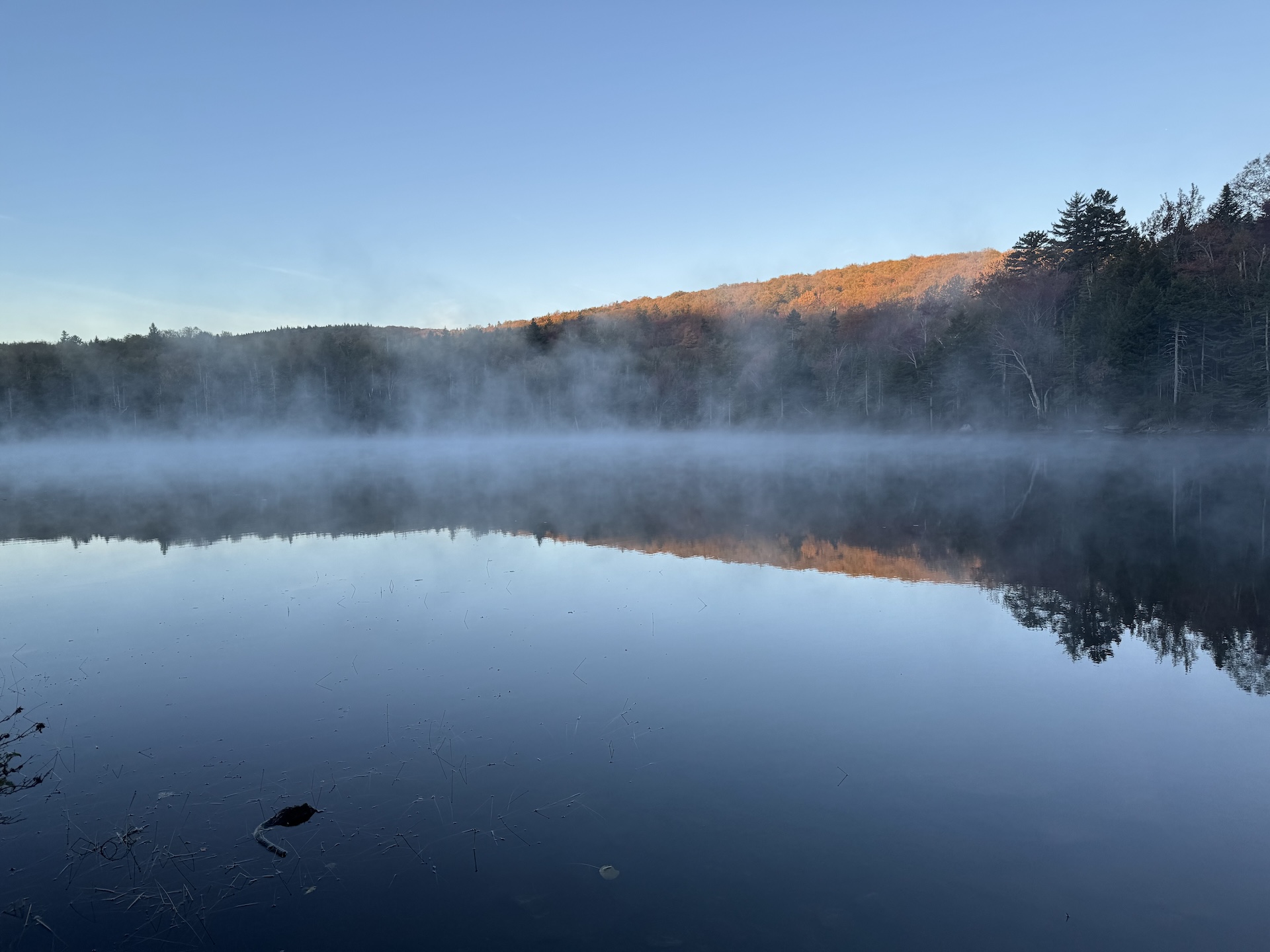
Stratton Pond Trail
From the parking lot, head north on the gently rolling Stratton Pond Trail. At approximately 1 mile from the parking lot the Catamount Trail joins the same route. Follow the trail for approximately 2.5 more miles until an intersection with the Lye Brook Falls Trail on the left. Continue straight/right to stay on the Stratton…
-
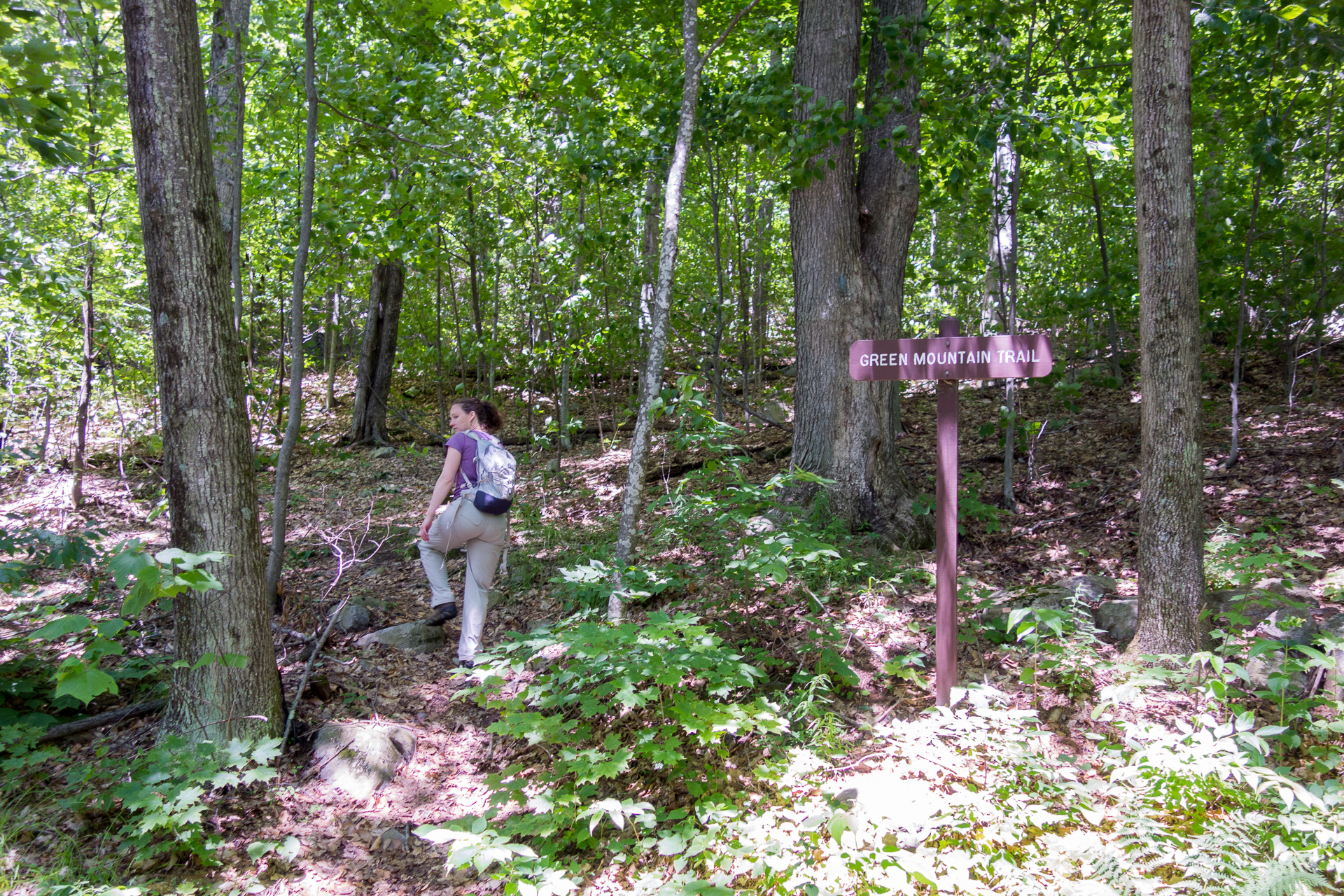
Green Mountain Trail Loop
These directions follow the loop clockwise, but either direction is great! From the main Long Trail parking lot on USFS Road 10, follow the road for 0.1 mi. then cross it to meet up with the Green Mountain Trail. Follow the blue-blazed trail along an old woods road past the turn for Big Branch Picnic…
-
Stratton Mountain-Stratton Pond Loop
Note that this loop trail will start/end at two different trailheads roughly 0.9 mi from each other; you can hike on the road to return to your car. Starting from the Long Trail/Appalachian Trail parking lot, following white blazes, head north for 3.8 miles on the LT/AT to the summit of Stratton Mountain at 3,940’. …
-
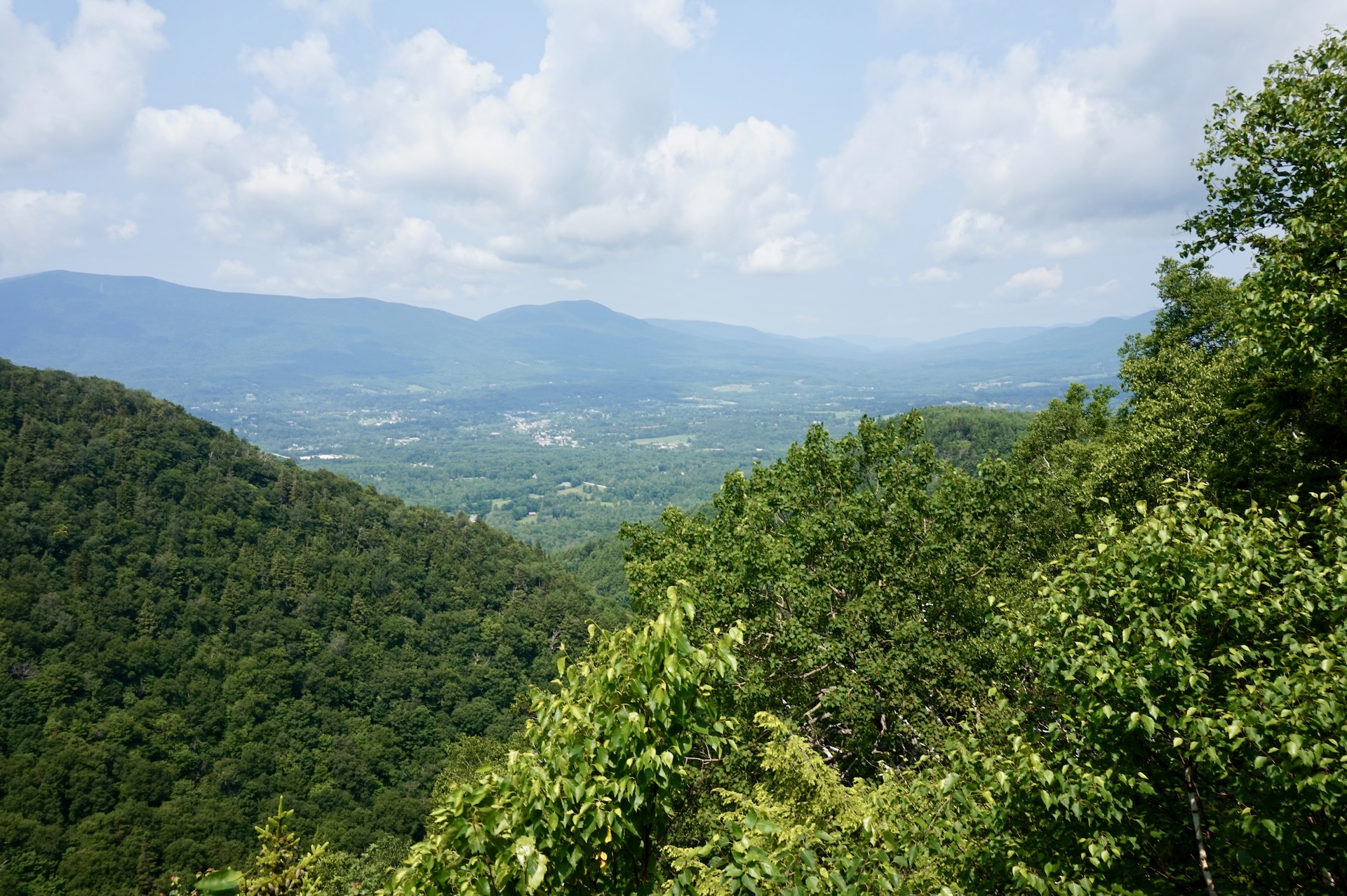
Prospect Rock (Manchester)
From the parking area follow Old Rootville Rd., a wide gravel path that is not open to vehicles, for 1.8 miles to an intersection with the Long Trail. Continue 50 yards south to Prospect Rock, a rocky outcrop on the right (2,060′). Enjoy lovely views of Manchester, the Battenkill River Valley, Mount Equinox, and Dorset…
-
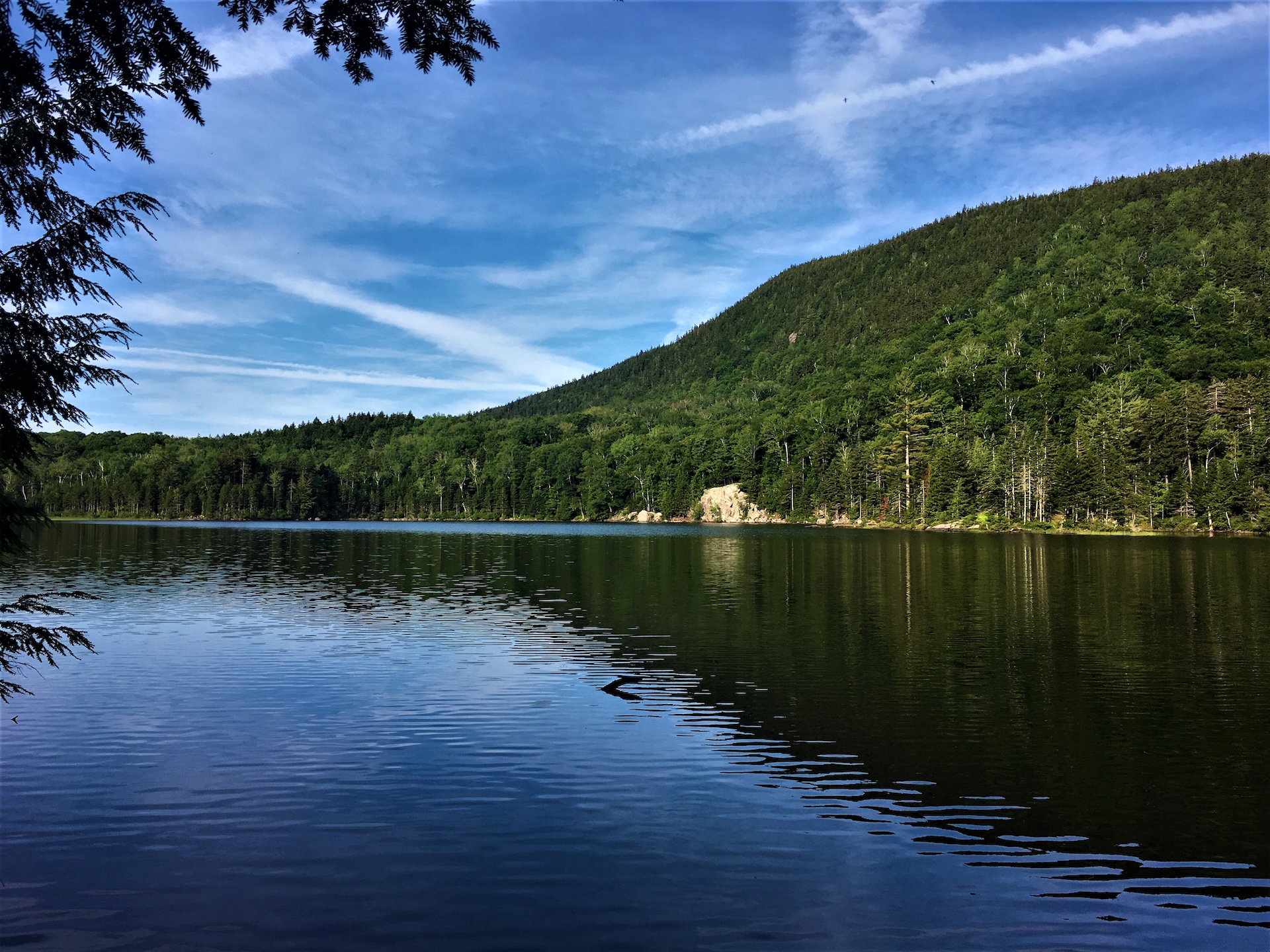
Little Rock Pond
From the Long Trail parking lot on USFS 10, cross the road and head north on the white-blazed Long Trail/Appalachian Trail. The trail follows the length of Little Black Branch Brook, crossing the stream several times as it gradually climbs for 2.2 mi. until reaching the shore of Little Rock Pond and Little Rock Pond…
-
Griffith Lake Trail
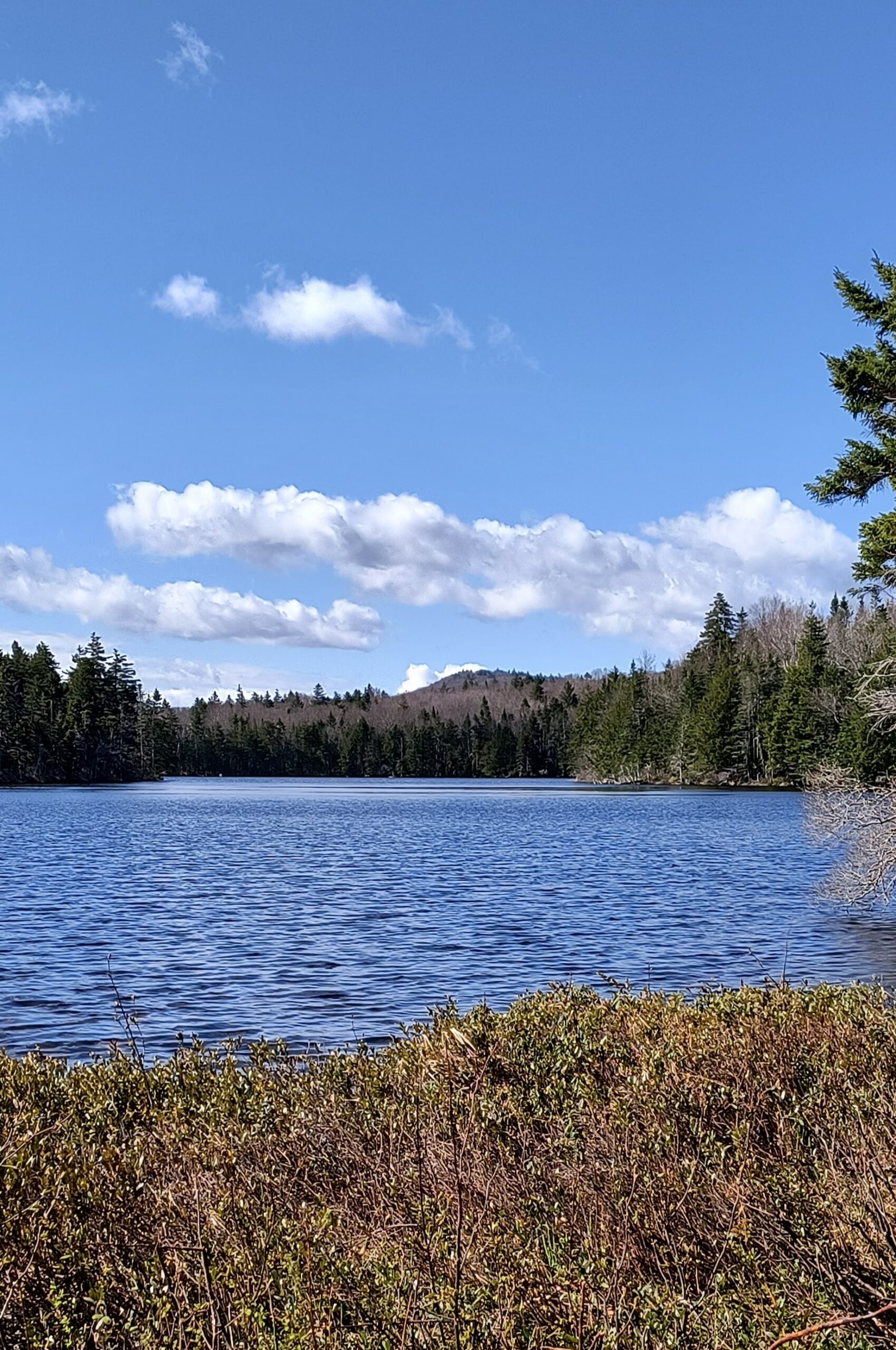
Starting at U.S. Forest Service Road 58 follow the Griffith Lake Trail, an old carriage road, for 2.2 mi. as it gradually descends to the spring-fed lake. Just before the end of the trail is a lovely view of the lake with a nice spot to sit for a snack or swim. For a slightly longer walk, keep going and at the well-marked Long…
-
Bromley Mountain
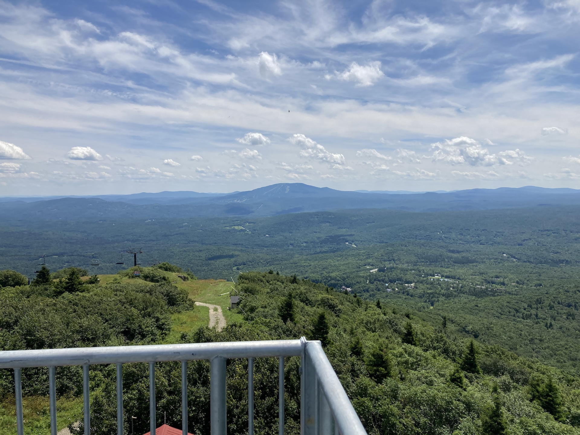
From the Long Trail/Appalachian trail parking lot, follow white-blazed LT/AT north for 2.0 mi., crossing Bromley Brook and passing Bromley Shelter. Continue for another 1.0 mi until making it to Bromley Mountain summit at 3,260’ (3.0 mi). An observation tower sits on the summit and offers sweeping views of Killington, Okemo, Stratton, and Glastenbury mountains,…
-
Baker Peak > Griffith Lake Loop
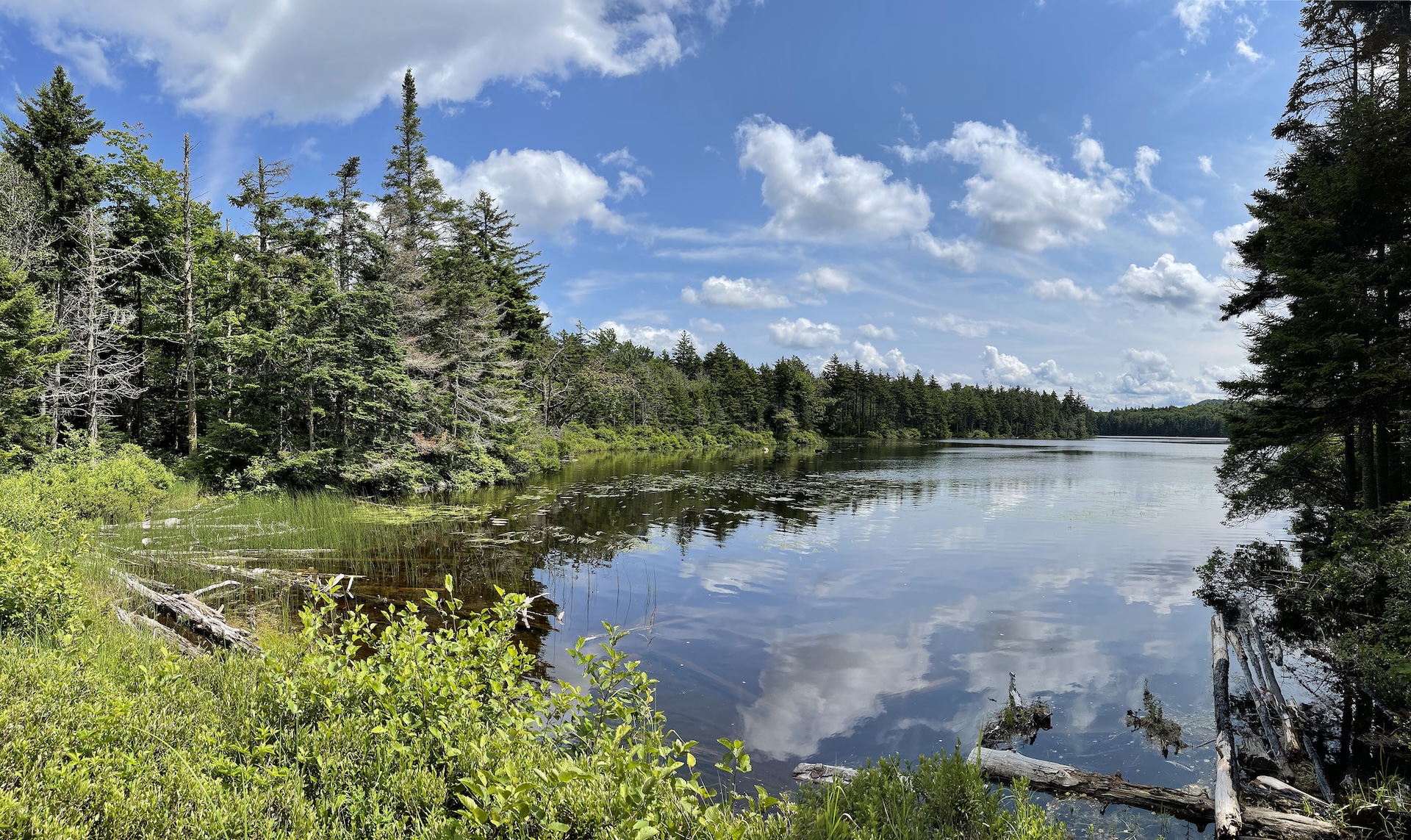
Starting at USFS-58 follow Griffith Lake Trail, an old carriage road, for 2.2 mi. Follow the blue blazes as the trail gradually descends to the spring-fed Griffith Lake. Take a left onto Long Trail/Appalachian Trail north, passing intersections with the Old Job Trail and the Lake Trail (2.3 mi.) and continue following white blazes to…
-
Baker Peak via Lake Trail and Baker Peak Trail
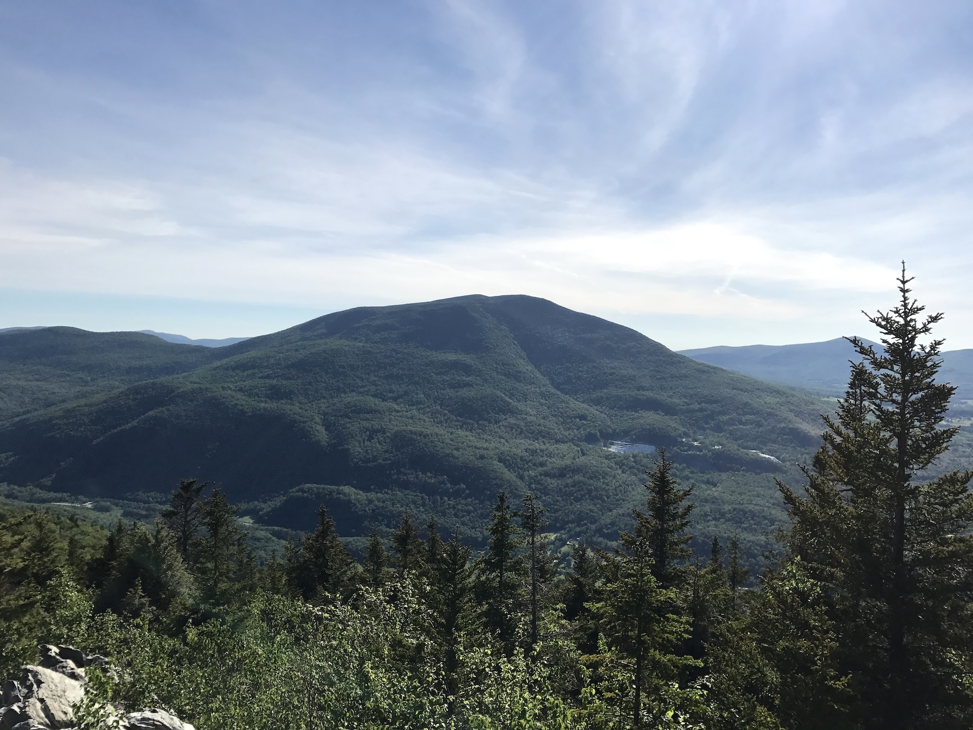
From the trailhead follow the Lake Trail with blue blazes for 1.9 mi. At the first intersection turn left off of Lake Trail onto Baker Peak Trail and continue for 0.9 mi (2.8 mi). At intersection with the Long Trail/Appalachian Trail turn left to head north and follow white blazes. There is a viewpoint just…
-
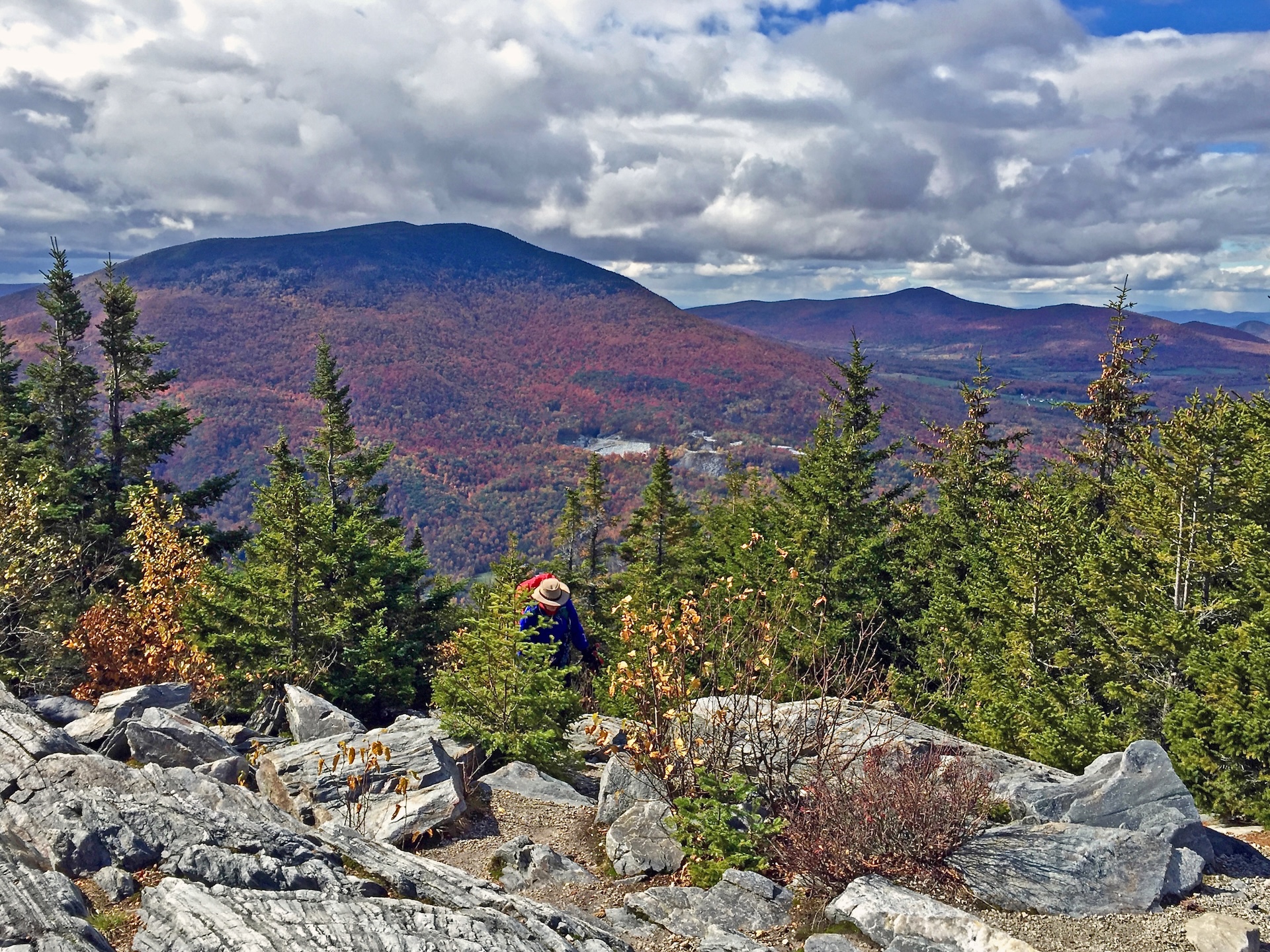
Baker Peak via Griffith Lake Trail and Long Trail
Starting at USFS-58 follow Griffith Lake Trail, an old carriage road, for 2.2 mi. Follow the blue blazes as the trail gradually descends to the spring-fed Griffith Lake. Take a left onto Long Trail/Appalachian Trail north, passing intersections with the Old Job Trail and the Lake Trail (2.3 mi.) and continue following white blazes to…