

Gateway to the Long Trail
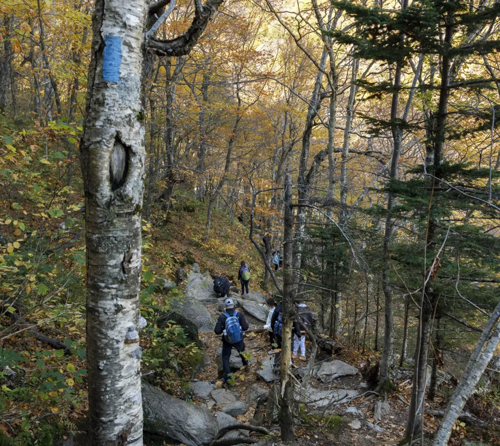
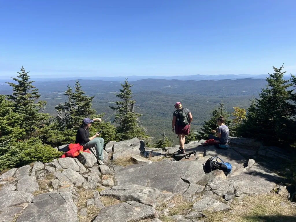
“Side trails” refer the collection of 88 hiking trails that intersect with or access the Long Trail. Many side trails are some of the most popular day hikes in the state, such as the Burrows Trail on Camel’s Hump, Sunset Ridge on Mount Mansfield, or the Deer Leap Trail near Killington. Others are relatively low-trafficked and provide a wonderful way to explore off the beaten path.
Side trails are blazed in blue, and GMC offers certification for “Side-to-Siders,” who complete each of the 88 trails, totaling 166 miles.
Find a Side Trail
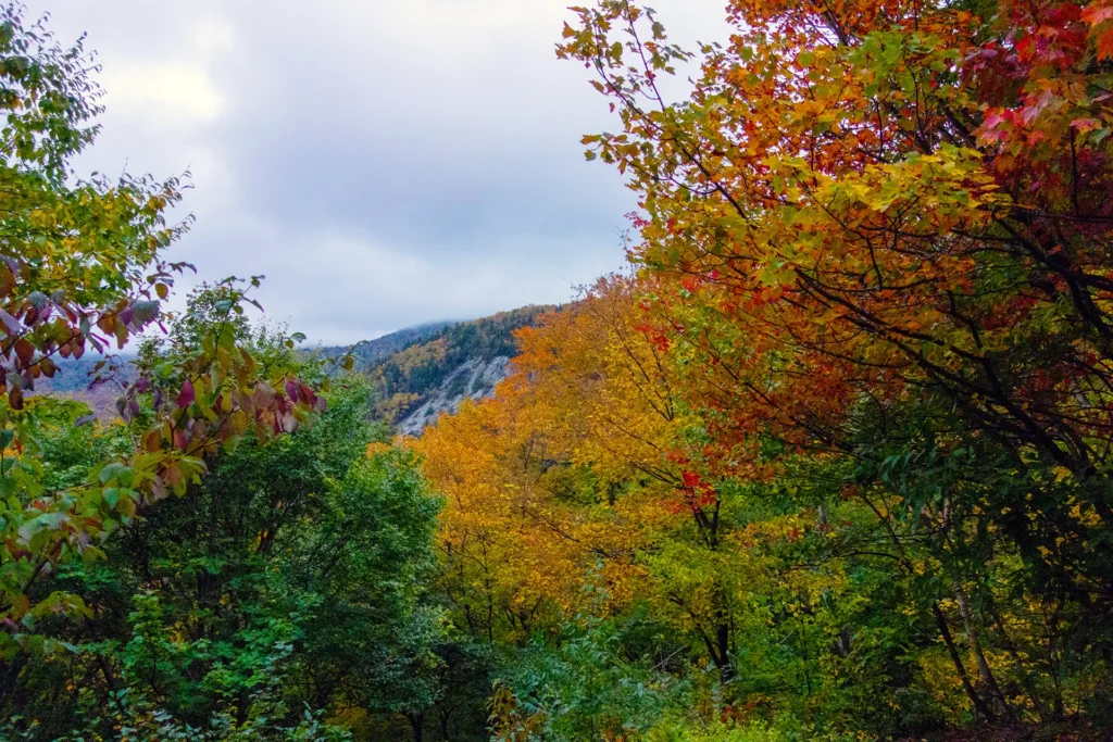
Looking for a great day hike, loop, or to access a section of the Long Trail? Side trails provide access to all five of Vermont’s 4,000-foot peaks; several ponds; and countless other worthy hiking destinations. Browse the entire list of side trails here, or find a hike for you using our search tool here. Side Trails are also included on the Long Trail Map and area hiking maps; detailed descriptions are included in the Long Trail Guide.
Featured Side Trail
Stratton Pond Trail
View Description
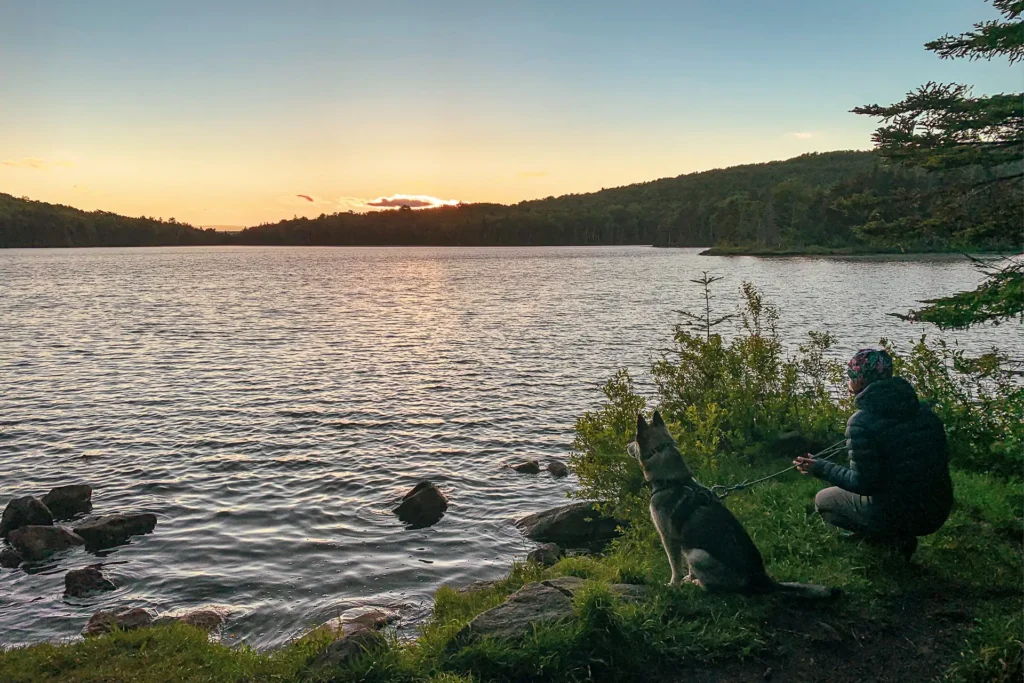
This gentle side trail pays off with wonderful views of beautiful Stratton Pond. Park at the Stratton Pond Trailhead on Kelley Stand Road, then walk 3.5 miles on the gently rolling blue-blazed trail. You’ll pass an intersection with the Lye Brook Falls Trail on the left. Continue straight/right to stay on the Stratton Pond Trail to Stratton Pond Shelter spur. (3.7 mi). To reach the pond, turn left, then take the Pond Spur 0.1 miles to the pond’s shore at the Willis Ross Clearing (3.8 mi). Return the way you came, detouring to Stratton Pond Shelter for lunch if desired (7.6 mi.).
Featured Side Trail Loop
Emily Proctor Trail > LT > Cooley Glen Trail
View Description
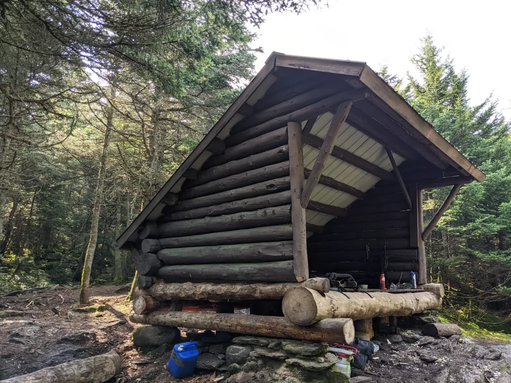
Explore the dense green of the Bread Loaf Wilderness with this convenient loop hike. Park at the shared trailhead for the Emily Proctor and Cooley Glen Trails, then hike 3.5 miles on the Emily Proctor Trail to the Long Trail. Enjoy a break at Emily Proctor Shelter, then turn left (north) on the Long Trail North. Hike 5.7 mi., passing over Mts. Wilson and Roosevelt, with occasional views. Reach Cooley Glen Shelter (9.2 mi) and camp here if desired, then return to your car via the 3.2-mile Cooley Glen Trail (12.4 mi.). Expect less maintenance and a more primitive, wild feel in Wilderness Areas.
Featured Side Trail
Belvidere Mtn Summit via Frank Post and Forester’s Trails
View Description
Park at the Frank Post Trailhead on Tillotson Road. Enter the woods, and parallel and cross a logging road and reach an intersection with the Forester’s Trail (0.6 mi.) Bear left on the Forester’s Trail, ascending gradulally and crossing a small brook, then the larger Lockwood Brook. Cross several other small brooks and old woods roads, and then climb, following some switchbacks, to Belvidere Saddle (2.7 mi.) and the LT. Turn left on the LT and then left again to continue uphill to the summit of Belvidere Mtn. (2.9 mi., 3360 ft.). The summit of Belvidere Mtn. features a fire tower maintained by GMC. From the tower, the Green Mountains are visible south to Camel’s Hump. Return the way you came for 5.8 mi., or make a loop by hiking 2.8 miles north on the LT to Tillotson Camp (5.7 mi.) and the intersection with the Frank Post trail. Turn right on the Frank Post Trail and follow it 2.0 mi. back to your car (7.7 mi.).
The Side-to-Side Challenge
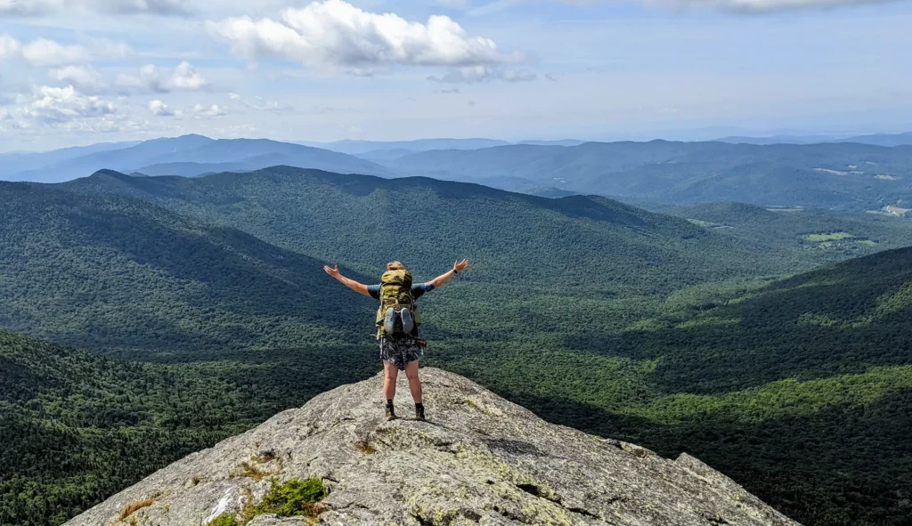
Want to hike all 88 side trails? Track your progress here. When you’re done, apply for certification to receive a certificate, patch, and your name in the summer edition of the Long Trail News. While side trail mileage totals 166, you will likely hike many more miles than that as you piece together loops and access side trails that do not have trailheads.
Read more:
Find Your Next Hike
Use our find a hike search and filter tool to browse a curated selection of day hikes and multi-day itineraries. Sort by distance, difficulty, and features like summits, camping, or bodies of water.