
272 miles end-to-end
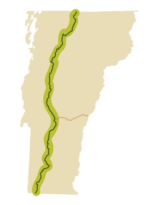
Since the Long Trail’s construction in the 1920s, hikers have sought to complete it from end to end. Known as End-to-Enders, more than 300 people now thru-hike the Long Trail each year. The trail spans 272 miles north-south along the spine of Vermont’s Green Mountains, and takes an average of 21 to 25 days to complete. The trail is beautiful and challenging; expect rocks, roots, mud, and steep climbs, especially in the northern half of the state.
End-to-enders complete their 272 miles in a variety of ways: some in a series of section hikes over months or years, some in three days. All end-to-enders are recognized once they apply for the official certification.
Planning Your Thru Hike
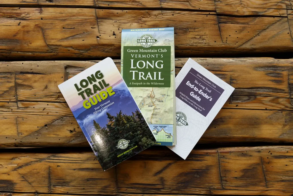
Get started with Long Trail basics on this page. As you get more serious about planning a hike, GMC offers several helpful resources. The Long Trail Map (updated 2025) and the Long Trail Guide book (2025) provide detailed descriptions of the entire trail system. The End-to-Ender’s Guide offers information about hiker resources like stores, hostels, post offices, and laundromats.
The GMC Visitor Center is a free hiker resource; we keep an annually updated list of volunteer trail angels and shuttle drivers and can provide customized advice on logistics or itinerary planning.
Many hikers find the FarOut app useful as it provides real-time user-sourced comments on current conditions (FarOut is not affiliated with or officially endorsed by GMC).
Join the Long Trail Hiking Facebook Groups for more community resources.
We recommend starting your hike in July, August, or September for the best chances of good weather. June is also popular, though there may be remaining snow in the mountains and the black flies can be at their worst. October through March is considered winter conditions in the mountains, and thru-hiking is not recommended. April and May are Vermont’s mud season, when high elevation hiking is discouraged to protect the trails during the spring thaw.
The average thru-hike takes 20-30 days, or roughly 3-4 weeks. Most thru-hikers take a few “zero” or “nero” days in town to break up the hiking. Daily mileage might vary from 5 to 20+ mile days, depending on the stretch of trail, desired trail experience, and personal experience + conditioning. Backpacking is typically much slower than day hiking due to pack weight. The Long Trail is steep and rocky, which can mean a seasoned backpacker may hike fewer daily miles than they would on other long distance trails.
Estimate how many miles you might comfortably go in a day. Consider your own hiking experience and speed, as well as the elevation profile of a given day’s miles. Many hikers start with an age-old formula of half an hour for every mile of trail, plus half an hour for every 1,000 feet of elevation gained — but your pace may differ from this significantly. Use the Long Trail Guide or Long Trail Map to identify overnight sites. They are roughly every 5-10 miles. Some flexibility will be required; we highly recommend traveling with a map and having alternative overnight options in case of unforeseen circumstances.
Hikers should use designated overnight sites whenever possible. The Long Trail hosts 70 free, first-come, first-served overnight sites, ranging from tenting areas to three-sided lean-tos to enclosed lodges with bunks. They are spaced roughly a day’s hike apart, with more shelters in popular areas. Each has a composting privy (outhouse) and a natural, untreated water source. Many, though not all, shelters have room to set up a tent nearby (tenting is prohibited above 2,500 ft.). Some sites have a single communal firepit while fires are strictly prohibited at other sites.
Ecologically fragile sites are staffed by a professional backcountry caretaker who manages the composting process at the privy, conducts general trail and site maintenance, and can offer advice and information to hikers.
The Long Trail crosses federal (Green Mountain National Forest), state, and private land, and camping and fire regulations can vary. We recommend the Long Trail Guide for detailed usage guidelines for every overnight site on the Long Trail System.
Long-term parking is possible at the southern and northern terminus, but many hikers opt to arrange a shuttle ride to begin their hike. Contact GMC’s visitor center for more information on shuttles. The Long Trail crosses many major roads, and most have parking areas at the trailheads. When parking vehicles at trailheads, take care to park efficiently and avoid obstructing traffic or blocking access to driveways, roads, homes, or farms. If a parking lot is full, please seek an alternative place to park and hike. Parking is at your own risk, and every year, a few instances of vandalism or break-ins do occur. Do not leave anything of value in your vehicle.
Much of what you will carry is determined by personal preference. Consider a field test or “shakedown” to test out your gear before you embark.
In general, you will need:
- A backpacking backpack (with an internal or external frame)
- A sleeping system (sleeping bag, sleeping pad)
- Shelter system (tent or hammock), even if you plan on staying in shelters on the trail
- Sturdy footwear (both hiking boots and trail runners are common)
- Water bottles and water treatment system
- Food and a bear-safe food storage system
- Backpacking stove and fuel, if desired
- Clothing, including insulating and waterproof layers for chilly or rainy weather
- The Ten Essentials, including a headlamp, first-aid kit, sun protection
- Trekking poles are optional but very common
Many hikers carry roughly 3-5 days worth of food, and “resupply” a few times over the course of their trip. You can resupply at local stores, or send boxes to yourself ahead of time — post offices and trail-friendly businesses will hold them for you. Common resupply locations include Bennington, Manchester, Killington/Rutland, Waitsfield, Waterbury, Stowe, and Johnson.
Hitchhiking in and out of town is common but up to the discretion of the hiker. Many folks who live or work near the Long Trail are used to giving hikers rides. Consider pairing up with another hiker for safety and comfort, or pre-arrange a ride — GMC keeps a list of volunteer shuttle drivers, available by email.
We also recommend the End-to-Ender’s Guide, a free, digital resource that lists in-town amenities and has valuable information about the logistics of a thru-hike.
Black bears are common in Vermont. In general, they will avoid people, but some black bears do associate humans with food and will become habituated or persistent.
Proper food storage is required in the Green Mountain National Forest and strongly encouraged everywhere else. All food, trash, toiletries, hygiene products, and dishes should be properly stored in an approved container a safe distance from camp. Remember you are sharing shelters with other hikers, so your food storage decisions impact those around you.
We recommend bear canisters, due to their ease of use and convenience, and offer a free lending program (first-come, first-served). Ursack bags and classic bear hangs are permitted, but trees suitable for a bear hang can be hard to find on the trail. Sleeping with your food bag, or hanging it inside a shelter, are not suitable storage methods. More on food storage methods.
Never underestimate the variability of Vermont weather. Conditions along the crest of the Green Mountains are not the same as in the lowlands; temperatures often vary dramatically, sometimes as much as 5 degrees Fahrenheit per 1,000 feet. June through September can see some very hot and humid days though rain, fog, wind, and sudden drops in temperature can occur at any time, even in the summer. We strongly recommend carrying warm layers and waterproof/windproof gear on your thru-hike.
Climate change is resulting in more intense and frequent rainstorms; a warmer atmosphere can retain more moisture. Summer nights can be cool, so hikers should always carry layers and be prepared for rain.
Plan ahead: Check weather forecasts for Vermont summits. Have a way to receive weather forecasts and emergency alerts while hiking; consider the VT-ALERT system.
There are designated water sources at every overnight site along the trail, and the trail crosses many more bodies of water, though some are more reliable than others. These may be rushing streams, small outflows, ponds, natural springs, or a few installed pumps. In dry weather, water sources can fail. For detailed information on water sources, we recommend the Long Trail Guide.
We strongly recommend treating all water collected on trail. Water may look and taste clean but still be unsafe to drink. Giardiasis, caused by the intestinal parasite Giardia lamblia, is just one of many illnesses caused by drinking contaminated water. Other bacteria and viruses may also be present in water sources. If giardiasis symptoms such as severe cramping and diarrhea occur, consult your physician.
The best way to prevent illness is to treat or filter all drinking water. Carefully follow instructions provided with the water purification system of your choice, and consider carrying a backup as pumps and filters can fail.
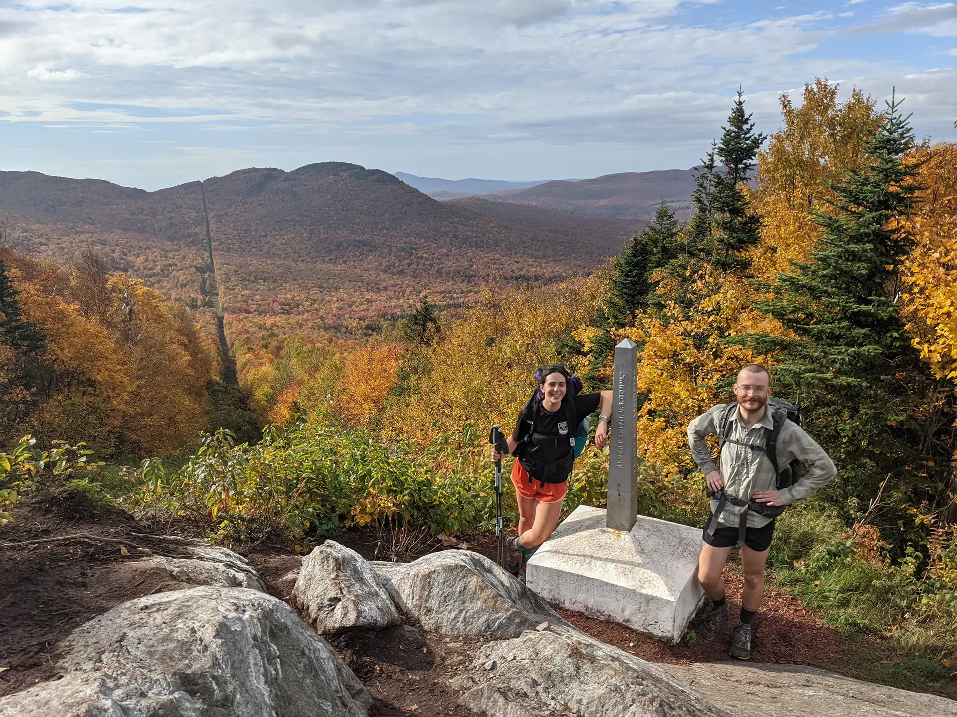
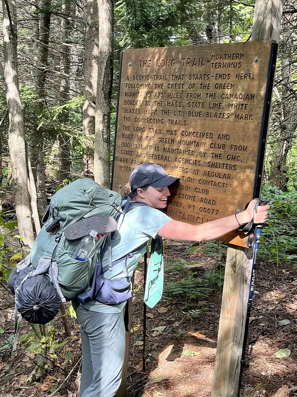
When thru-hiking the Long Trail, you can start at the Massachusetts border and hike north (NOBO) or start at the Canadian border and hike south (SOBO). NOBO is more common, and means you will be starting with gentler terrain. The southern portion of the Long Trail is often busier, since it is co-located with the Appalachian Trail.
Southbound (SOBO) hikers will initially experience fewer people on the trail and more immediate steep and rugged terrain. This may be a great fit for those who desire a more remote experience and have experience with rugged Vermont trails. Weather can also be a factor. For example, if you are hiking in late fall, you may wish to go southbound to maximize your chances of warmer weather or to “chase the foliage.”
You can also start anywhere in the middle of the trail! Access the Long Trail from one of many road crossings, or a side trail.
Individual hikers do not need a permit to hike the Long Trail. The entire system is free and open to the public. Some groups may need a special-use permit from the Green Mountain National Forest or Vermont Department of Forests, Parks, and Recreation. More on group use and permitting can be found here. Overnight sites that are staffed by caretakers operate on a donation-based model; if you would like to make a donation in support of your hike you may do so here.
GMC does offer End-to-End certification, and this is one way we can track usage on the trail. Certification is free and takes a few minutes; applications are processed twice per year and each year’s class of End-to-Enders is listed in the summer Long Trail News.
Certify your End-to-End Hike
Apply for End to Ender Certification! GMC has been tracking End-to-Enders since 1944. End-to-Enders receive a certificate, patch, and a complimentary one-year Green Mountain Club membership. It also gives us valuable information about your on-trail experience and is one way we can track usage on the trail. Applications are processed twice a year, in October and March.

More on Planning a Thru-Hike
Looking for more information?
Contact the Visitor Center for trip planning advice.