
Massachusetts to Canada — or Anywhere In Between
Section hiking is an excellent way to experience the 272-mile Long Trail in shorter chunks. You can set out to section hike the entirety of the trail over time, or just pick a section of any length that interests you. Section hikes can limit the need to plan resupplies and are easier to fit in between work, family, and other commitments.
Section Itinerary Planning
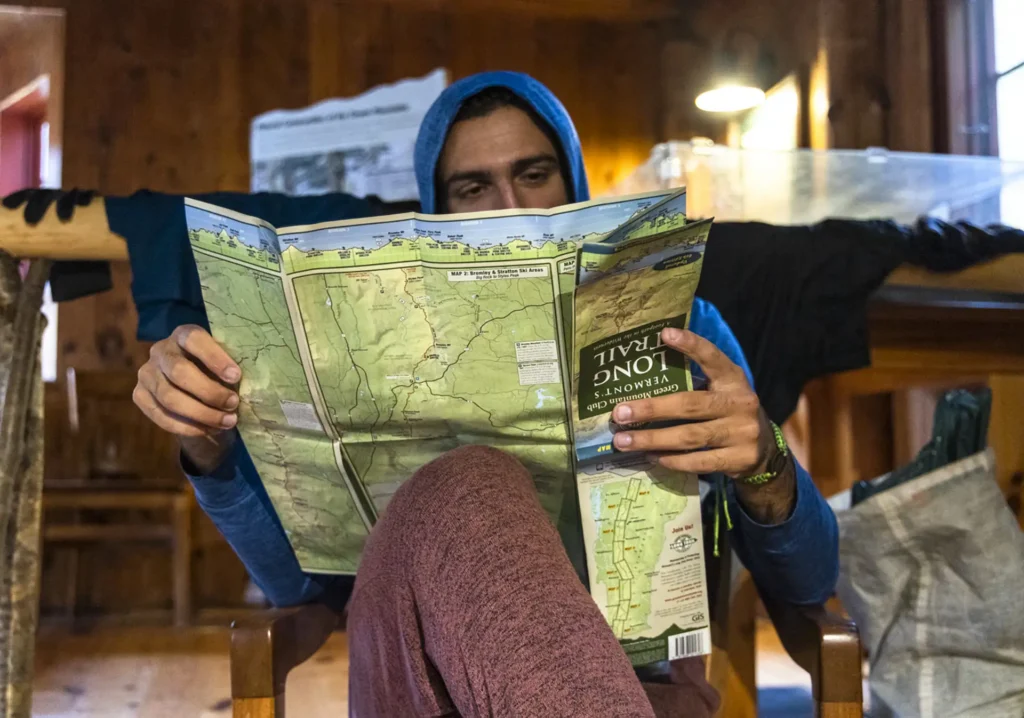
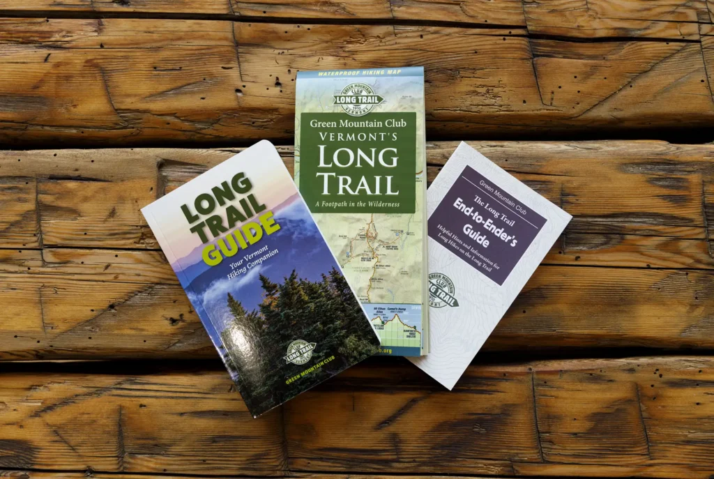
We recommend using the Long Trail Map and Long Trail Guide to plan your section hikes. First, determine how many days you want to be on trail, and how many miles you can comfortably travel in a day (taking into account pack weight, total elevation, and terrain). Use the map and guidebook to plot out sections that begin and end at a road crossing or side trail.
Suggested Itineraries
Suggested Section Itinerary #1:
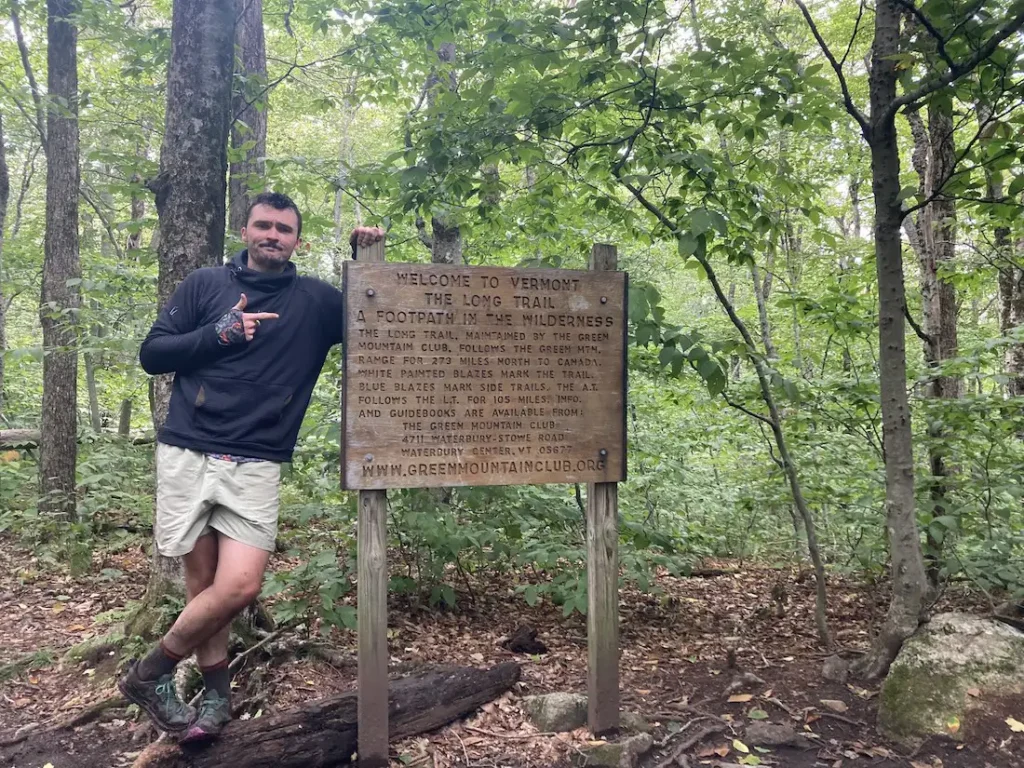
Southern Terminus to Route 9
This two or three-day, one-to-two-night itinerary is a great way to get some Long Trail miles. Choose either the Pine Cobble Approach Trail or the Appalachian Trail to reach the Southern Terminus. You’ll have around 4,000 feet of elevation gain over 18 miles, along with a steep descent down to Route 9. It can also be hiked southbound, or condensed into two days.
- Day 1: Pine Cobble Approach Trail or Appalachian Trail from North Adams to Seth Warner Shelter, 8 miles
- Day 2: Seth Warner to Congdon Shelter, 4.8 miles
- Day 3: Congdon Shelter to Route 9: 4.2 miles
Suggested Section Itinerary #2:
Brandon Gap to Route 4
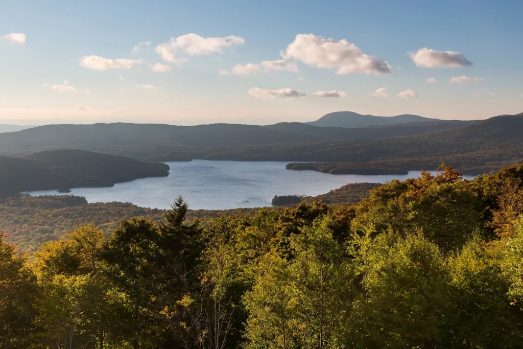
This four-day, three-night, intermediate itinerary can be followed either north or south in Central Vermont, and could be modified to a 2-night trip for a more experienced backpacker. This is a great route for those who are looking to test their backcountry set up for multiple nights without too much mileage or elevation gain. It’s 20 miles total, with about 3,000 feet of total elevation gain, offering a remote feeling and views of Chittenden Reservoir.
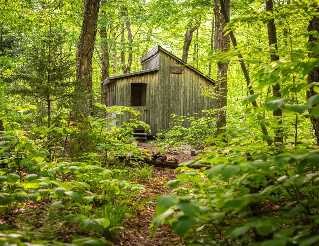
- Day One: Brandon Gap to Sunrise Shelter, 2.6 miles
- Day Two: Sunrise Shelter to David Logan Shelter, 5.7 miles
- Day Three: David Logan Shelter to Rolston Rest Shelter, 7 miles
- Day Four: Rolston Rest Shelter to Route 4, 4.9 miles
Suggested Section Itinerary #3:
Camel’s Hump to Route 108
This challenging, 35-mile itinerary traverses some of the most iconic summits of the Long Trail, Camel’s Hump and Mount Mansfield, and crosses the Winooski River Valley. With 10,000 feet of elevation gain, it offers amazing 360-degree views of the Long Trail, the White Mountains in New Hampshire, Lake Champlain, and the Adirondacks in New York. Below is one option.
- Day 1: Forest City Trail to Montclair Glen Lodge, 1.4 miles. (Can combine with Day two for a four-day trip)
- Alternate Day 1: Monroe Trail to Hump Brook Tenting Area, 1.3 miles. (Can combine with Day Two for a four-day trip)
- Day 2: Montclair Glen Lodge to Bamforth Ridge Shelter, 6 miles; summit Camel’s Hump
- Day 3: Bamforth Ridge to Buchanan, 12 miles; cross Winooski River
- Day 4: Buchanan to Butler Lodge , 11 miles
- Day 5: Butler Lodge to Route 108, 6 miles; summit Mansfield
Suggested Section Itinerary #4:
Jay Pass (Route 242) to Northern Terminus
Complete the Northern Terminus with a two-day, one-night hike from Jay Pass. For extra miles, this hike could also be done from Route 118, Hazen’s Notch.
- Day 1: Jay Pass to Shooting Star Shelter, 7.6 miles
- Day 2: Shooting Star to Northern Terminus, 4.4 miles; plus 1.3 mile hike out on Journey’s End Trail
Certifying your Section End-to-End
When you have completed all sections of the Long Trail, you have completed the trail “end-to-end” and can apply for official End-to-End Certification.

More Section Hike Planning Resources
Need Help With Section Hike Planning?
Call, email, or stop in to our Waterbury Center Visitor Center to get advice on crafting the perfect section itinerary.