
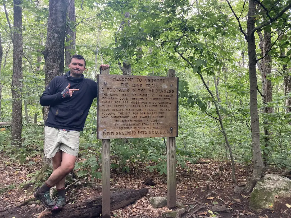
Section Hike: Southern Terminus to Route 9

E2E-Paul-Leckey-3
Region Southern Vermont
Length 17Miles
Difficulty Moderate
Elevation Gain

4000

Vertical Feet
Type

Overnight Itinerary

Good For Backpacking

Description

This two or three-day, one-to-two-night itinerary is a great way to get some southern Long Trail miles. Choose either the Pine Cobble Approach Trail or the Appalachian Trail to reach the Southern Terminus. You’ll have around 4,000 feet of elevation gain over 17-18 miles, along with a steep descent down to Route 9. It can also be hiked southbound, or condensed into two days.

  • Day 1: Pine Cobble Approach Trail or Appalachian Trail from North Adams to Seth Warner Shelter, 8 miles
  • Day 2: Seth Warner to Congdon Shelter, 4.8 miles
  • Day 3: Congdon Shelter to Route 9: 4.2 miles

Trail Map


Getting There

For the Pine Cobble Trail Approach: From its junction with U.S. 7 in Williamstown, follow Mass. 2 east 0.6 mi. to Cole Avenue. Turn left and follow Cole Avenue 0.8 mi. to its end at North Hoosac Road. Turn right onto this road and proceed 0.3 mi., then take a left onto Pine Cobble Road. Follow this road 0.2 mi. to the trailhead. Pine Cobble Road is 2.1 mi. west of the AT on Massachusetts Avenue/North Hoosac Road. Parking (space for approximately 6 cars) is available opposite the trail.

For the Appalachian Trail Approach: This trail begins on Mass. 2 opposite Phelps Avenue at a traffic light 3.0 mi. east of the U.S. 7/Mass. 2 traffic circle in Williamstown and 2.4 mi. west of the center of North Adams. A small parking lot, built in 2019, is located across the street from the Greylock Community Club, 0.1 mi. east of the trail on Mass. 2, or at the Holy Family Catholic Church adjacent to the AT.


wood grain texture

Long Trail Guide 29th Edition

wood grain texture
Mansfield_Map_5th_Ed

Get the Map!

Mount Mansfield and the Worcester Range

wood grain texture

Get the Map!

Camel’s Hump and the Monroe Skyline

wood grain texture
NEK2019map_web_large

Get the Map!

Northeast Kingdom Hiking Trail Map

wood grain texture
Killington2022_Map_Cover_low-res_002_large

Get the Map!

Killington Area Hiking Trail Map with Ascutney & Okemo

wood grain texture

Sign up for emails to get seasonal hiking advice




