
Find a Hike
Curated Hike Recommendations For Everyone
Use the filters below to find day hikes and overnight itineraries for you.
-
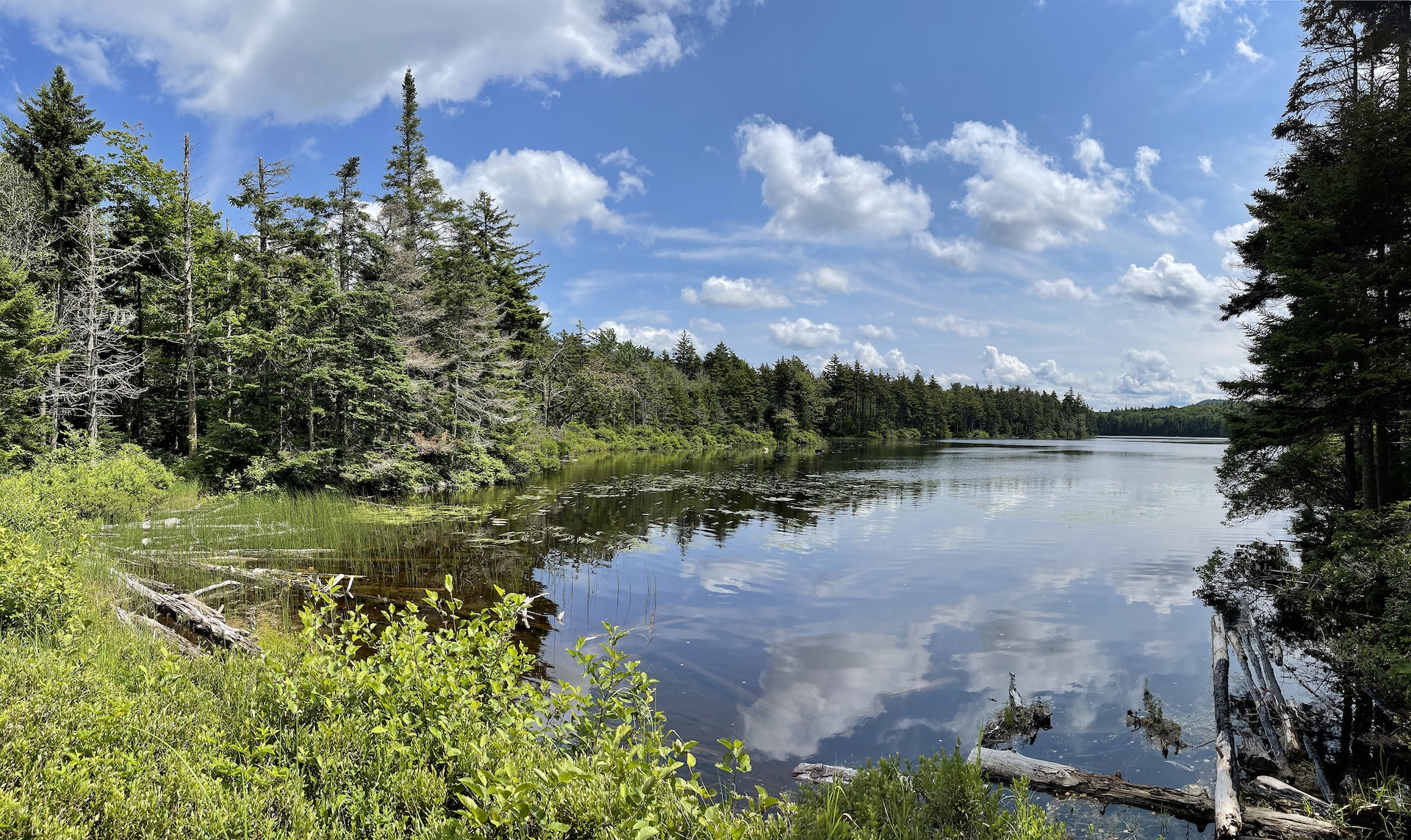
Baker Peak > Griffith Lake Loop
Starting at USFS-58 follow Griffith Lake Trail, an old carriage road, for 2.2 mi. Follow the blue blazes as the trail gradually descends to the spring-fed Griffith Lake. Take a left onto Long Trail/Appalachian Trail north, passing intersections with the Old Job Trail and the Lake Trail (2.3 mi.) and continue following white blazes to…
-
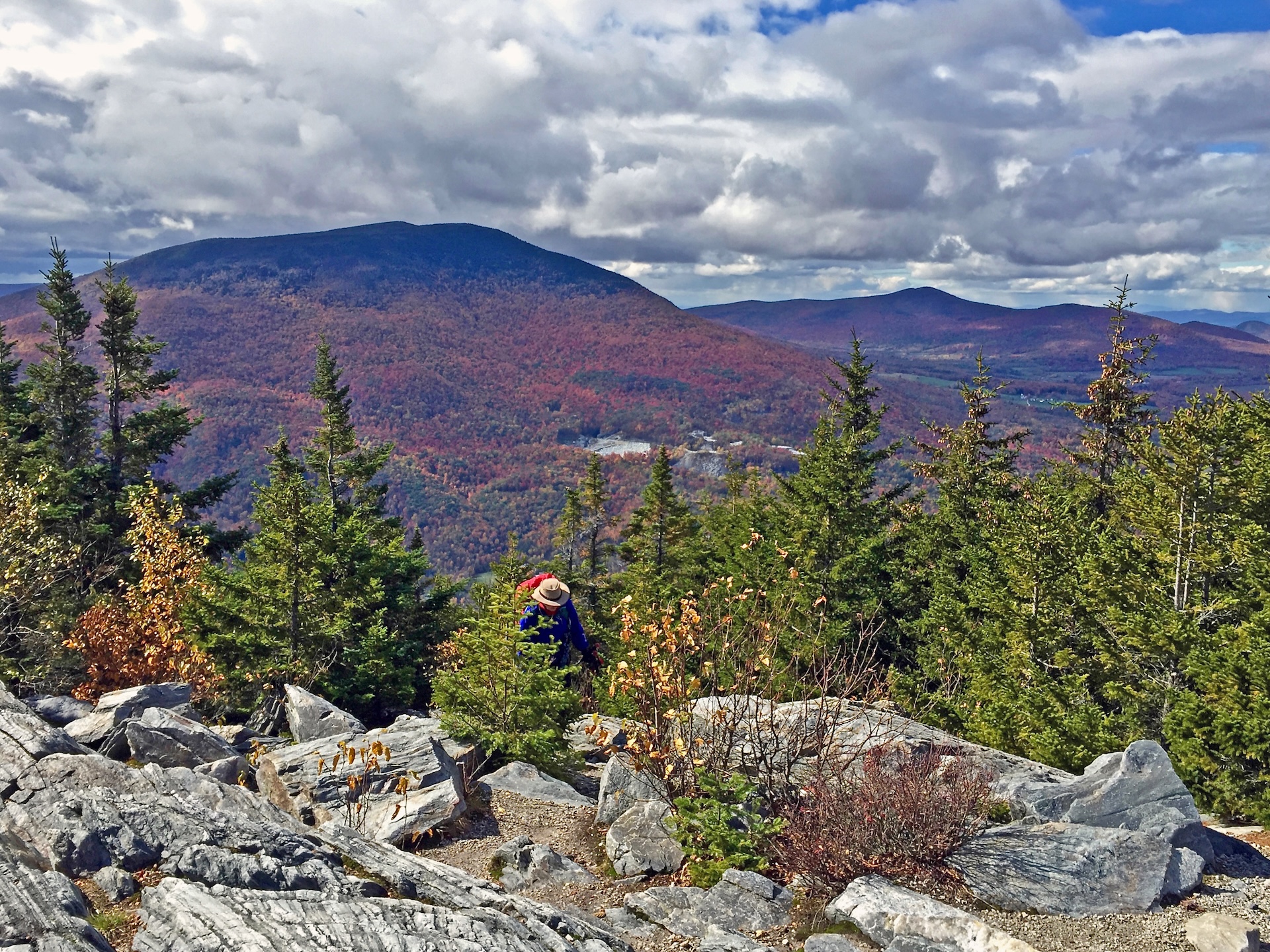
Baker Peak via Griffith Lake Trail and Long Trail
Starting at USFS-58 follow Griffith Lake Trail, an old carriage road, for 2.2 mi. Follow the blue blazes as the trail gradually descends to the spring-fed Griffith Lake. Take a left onto Long Trail/Appalachian Trail north, passing intersections with the Old Job Trail and the Lake Trail (2.3 mi.) and continue following white blazes to…
-
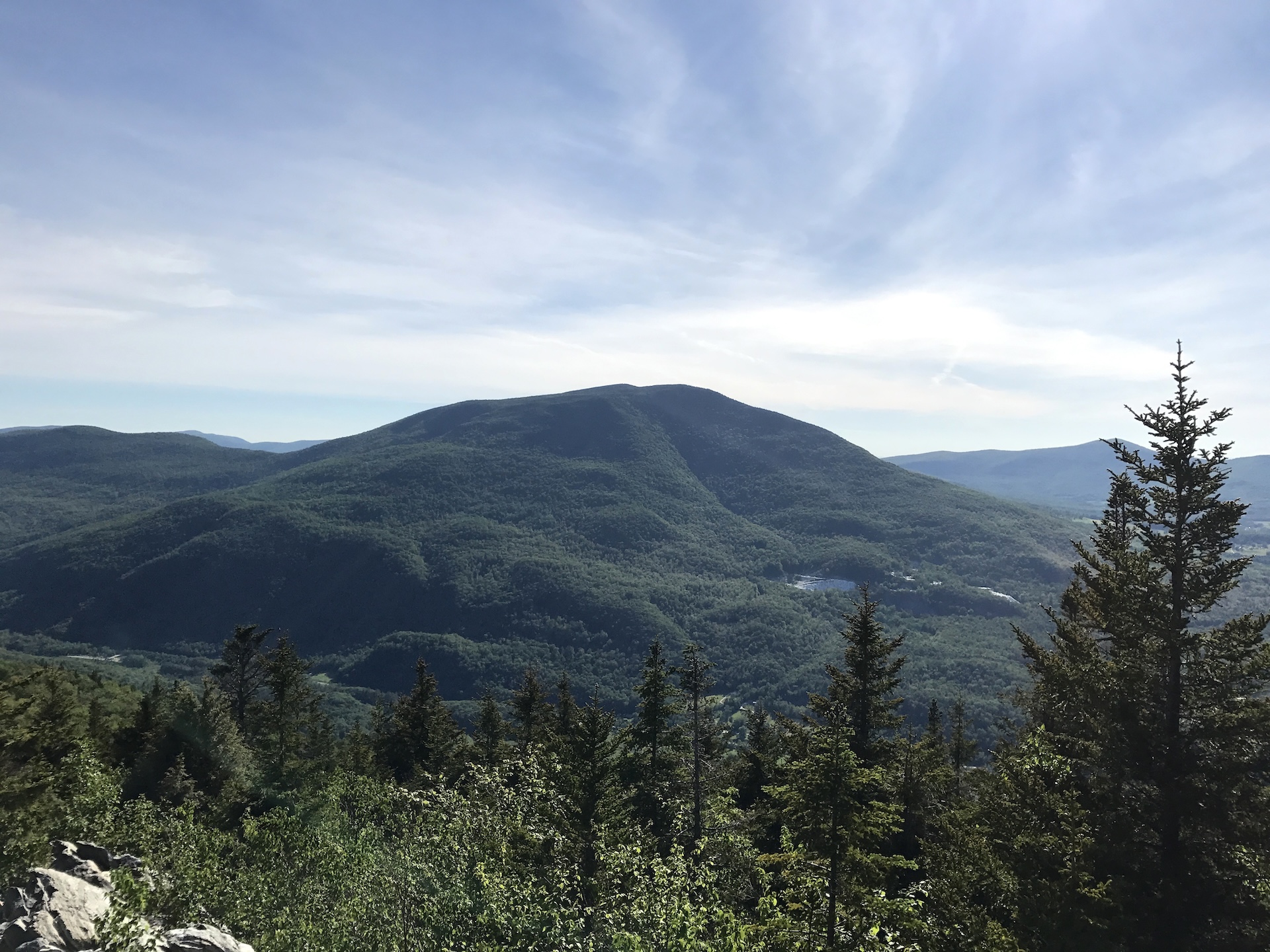
Baker Peak via Lake Trail and Baker Peak Trail
From the trailhead follow the Lake Trail with blue blazes for 1.9 mi. At the first intersection turn left off of Lake Trail onto Baker Peak Trail and continue for 0.9 mi (2.8 mi). At intersection with the Long Trail/Appalachian Trail turn left to head north and follow white blazes. There is a viewpoint just…
-
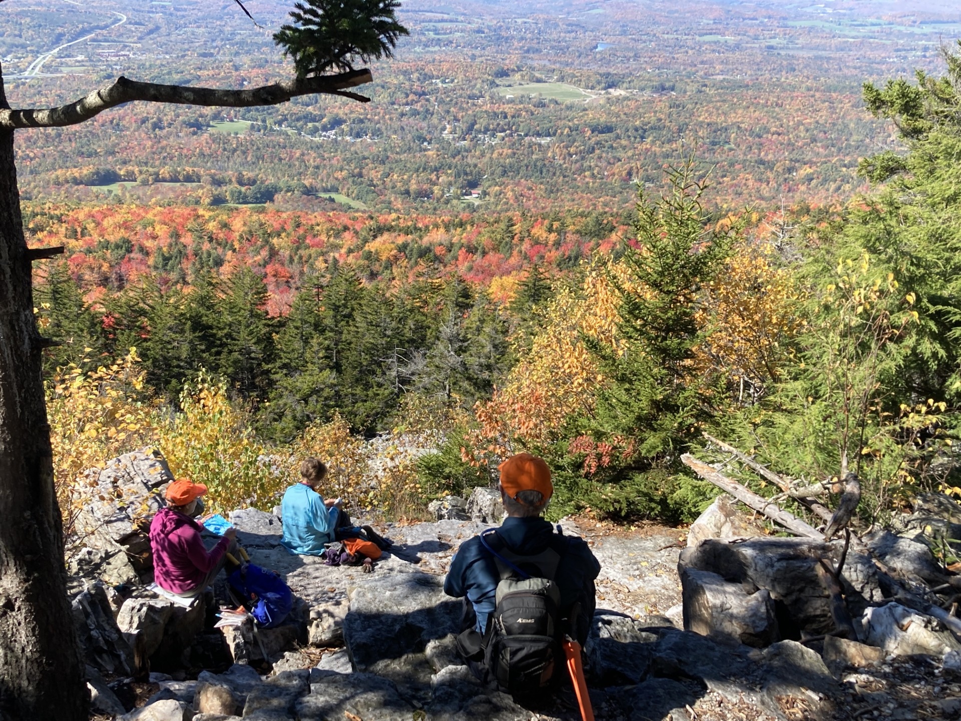
Bald Mountain Trail (Bennington)
The west trailhead of the Bald Mountain Trail starts in Bennington. There is a good overlook at White Rocks (2.6 mi.) then an intersection with the West Ridge Trail at 4.0 mi., just south of the Bald Mountain Summit (this is the version shown on the map below). Return the way you came (8.0 mi.).…
-

Bamforth Ridge Shelter
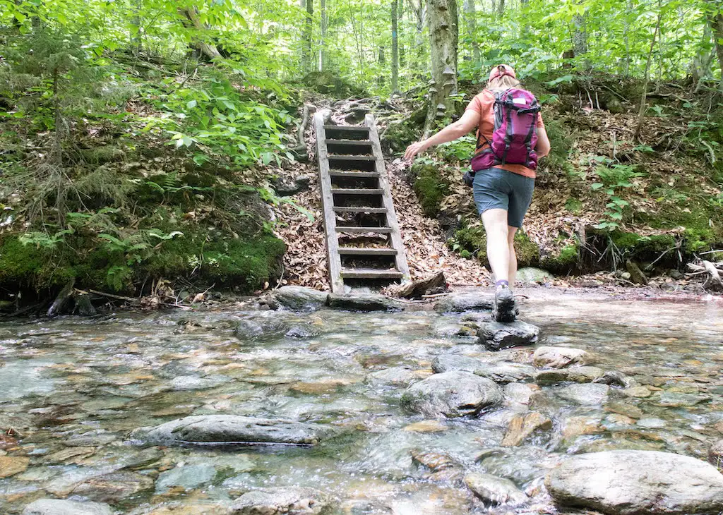
From the parking area, hike south on the Long Trail. Cross a bridge over Gleason Brook (0.6 mi), then on to Duxbury Window, a beautiful lookout over the Winooski Valley with a bench (1.6 mi). Note that most of the hike is a gradual incline, but the trail is fairly steep for a short stretch just before the Window. Continue past the lookout…
-
Staff Favorite
Barnes Camp Loop
The Barnes Camp Loop starts on the Long Trail South at the boardwalk on the northern end of the parking lot. Proceed along the boardwalk with wetland views then continue on single track Long Trail North, blazed in white. In 0.3 mi. at intersection with Long Trail South and Picnic Area, turn right toward picnic…
-

Battell Trail to Battell Shelter
From Elder Hill Rd. parking lot, climb steadily through a sugarbush for almost a mile. After crossing two small streams and an old woods road (1.0 mi.), and then another woods road (1.2 mi.), arrive at the LT (2.0 mi.) just south of Battell Shelter. Take a right onto Long Trail North for 0.1 mi until reaching Battell Shelter (2.1 mi). To return, take Battell Trail back down…
-
Beaver Meadow Lodge Loop
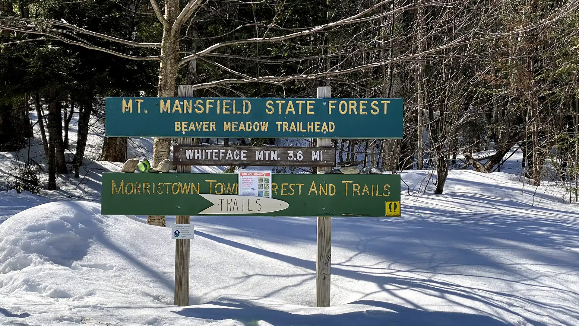
The trail to Beaver Meadow Lodge follows an old road to a high basin surrounded by mountains on three sides and makes an excellent family hike. On a clear day, it is possible to see Whiteface Mountain to the north. Beaver Meadow Lodge is one of two shelters within the Long Trail System with a…
-

Staff Favorite
Belvidere Mountain via Long Trail
From the parking lot on Route 118, hike north on the LT. After about 0.2 mi, the trail bears west as you begin hiking over new tread (GMC crews relocated nearly one mile of Long Trail to follow a more sustainable grade on public land in 2025 and 2026). The new trail, built with a combination of a mini-excavator…
-

Branch Pond
From the west side of the Branch Pond parking lot, follow the boat launch trail 0.25 mi downhill to Branch Pond. The boat launch is small but offers a lovely view of the pond, as well as the chance to take a dip. A fun option with kids, kayaks, or both! Fishing is allowed with…
Search results come from a curated selection of all GMC-managed trails. GMC manages the Long Trail, its 88 side trails, the entire Appalachian Trail in VT, and 30+ miles of trail in the Northeast Kingdom. Additionally, there are hundreds more hiking trails in the state, in state parks, state forests, town forests, and on private land. Those can be found on TrailFinder, which works directly with land managers to ensure accurate information.
Don’t Forget Your Map
Paper maps make great hiking companions. Cell service is limited and batteries can die. Purchase a guidebook, Long Trail Map or area-specific hiking map produced by the Green Mountain Club, so you know you have the most accurate and up-to-date information in your pocket.


More Hiking Resources


GMC Hike Experts at Your Fingertips
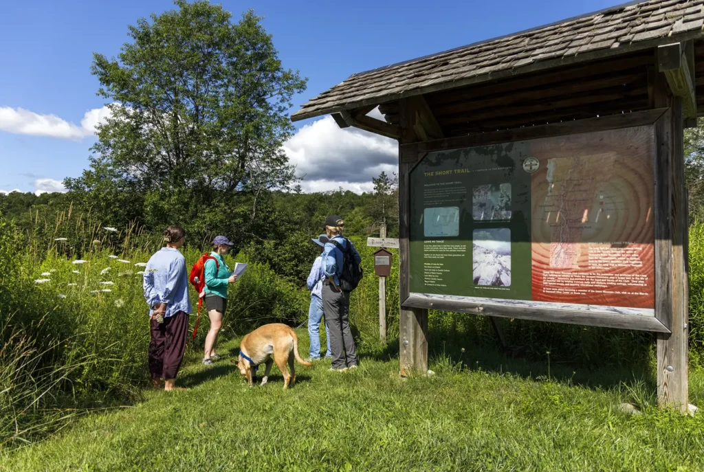
Need more information? Call, email, or visit the GMC Visitor Center to get custom hike planning advice and trail recommendations.