Baker Peak via Griffith Lake Trail and Long Trail

Region Manchester Area, Southern Vermont
Length 9.2Miles
Difficulty Moderate
Elevation Gain

2111

Vertical Feet
Type

Out-and-Back

Good For Day Hiking, Foliage, Pond or lake, Summits, Views

Description

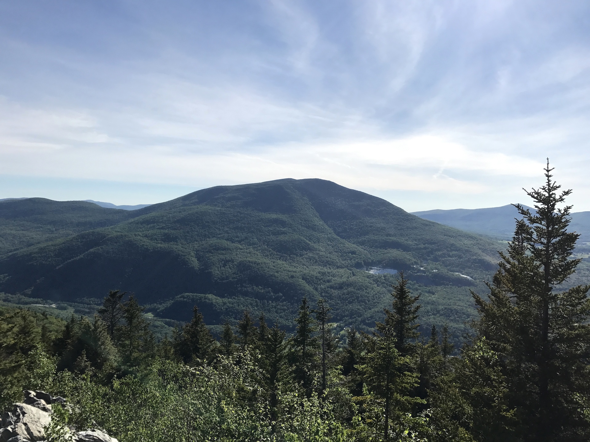
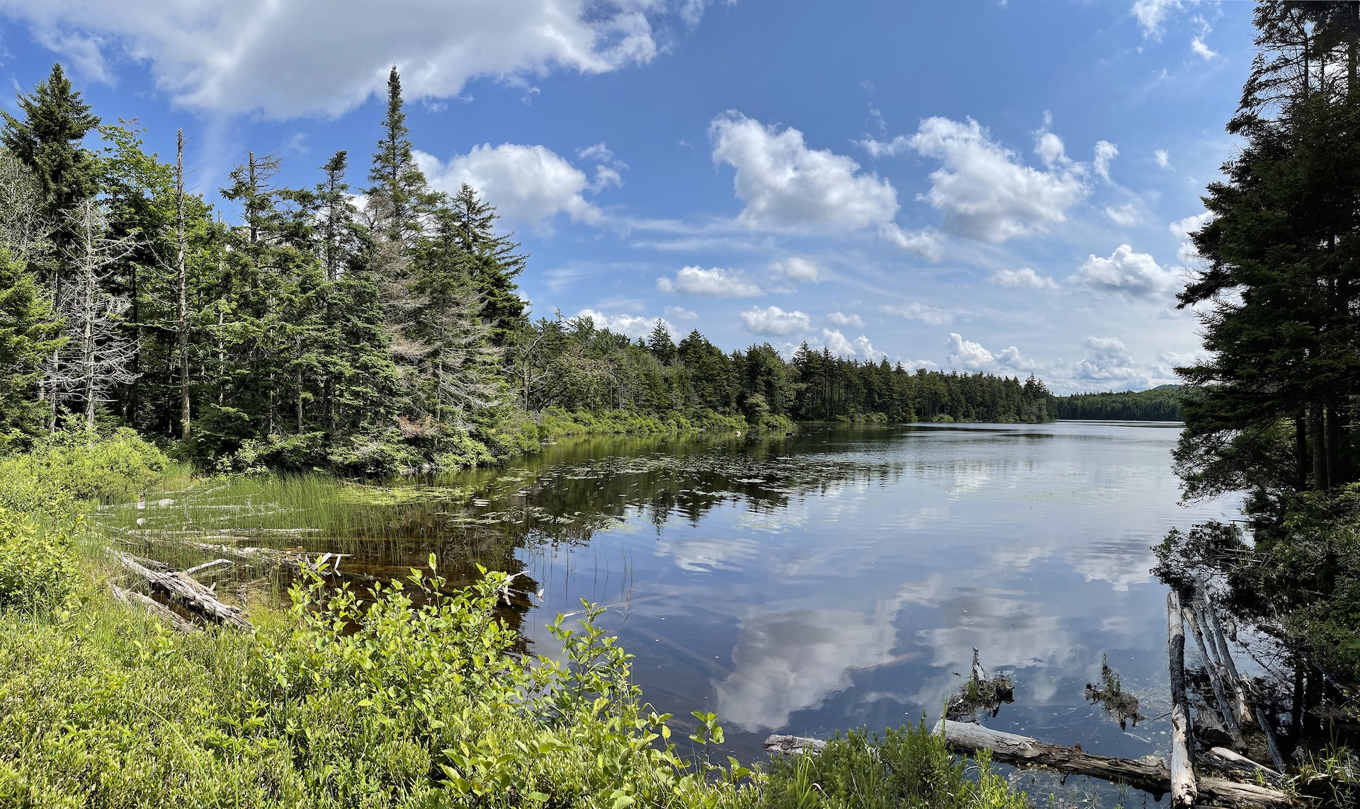
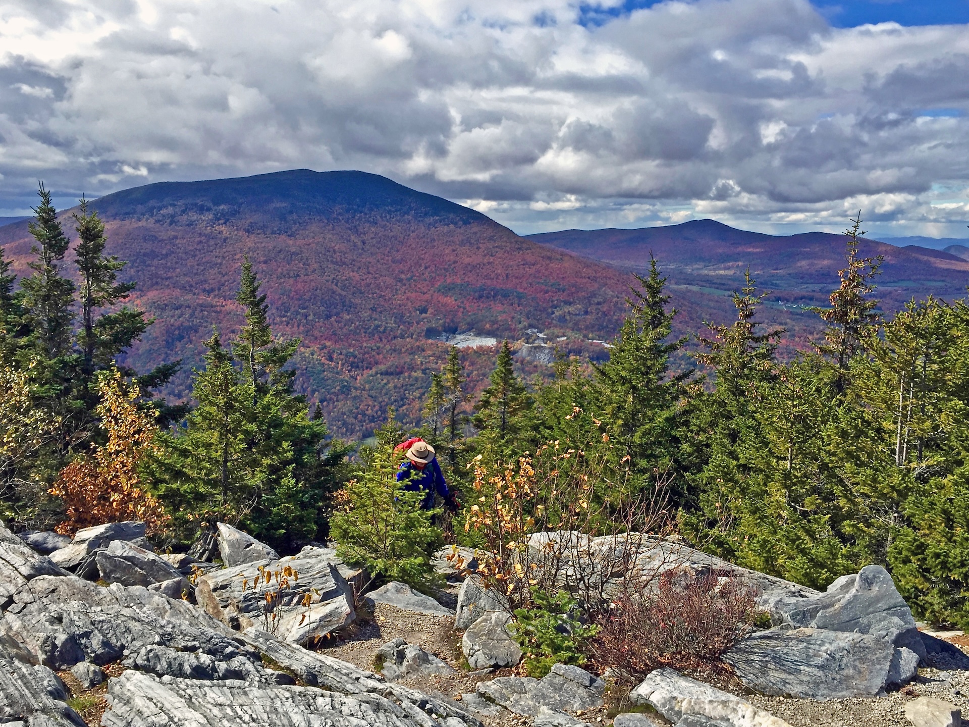
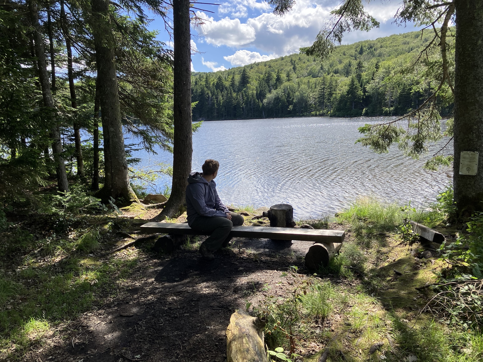
Starting at USFS-58 follow Griffith Lake Trail, an old carriage road, for 2.2 mi. Follow the blue blazes as the trail gradually descends to the spring-fed Griffith Lake. Take a left onto Long Trail/Appalachian Trail north, passing intersections with the Old Job Trail and the Lake Trail (2.3 mi.) and continue following white blazes to a viewpoint and intersection with the Baker Peak Trail (4.1 mi). Continue past the viewpoint for approximately 0.5 mi. until reaching Baker Peak at 2,860’ (4.6 mi). To return, continue back on LT/AT to meet up with Griffith Lake Trail for 4.6 mi. (9.2 mi.)  

Alternatively, from Baker Peak return to the intersection with the Baker Peak Trail (5.1 mi.) and follow its blue blazes to its intersection with the Lake Trail (6.0 mi.). Take the Lake Trail back to the LT/AT (7.4), turn right to take the LT/AT South to the north shore of Griffith Lake (7.5 mi.) and the intersection with the Griffith Lake Trail, which you can take back to your car. (9.7 mi.) 

Trail Map


Getting There

From Manchester: Head east on VT-11/30 and stay on VT-11 when it splits from VT-30. Soon after passing Bromley Ski Area, bear left on Main St and turn left on Hapgood Pond Road in the village. At fork bear left on N Road. Turn left on Mad Tom Notch Road (Forest Road 21), drive approximately 2.0 miles, and turn right onto Forest Road 58. Continue to the gate at the end of the road. Do not block gate while parking.

From Londonderry: Head west on VT-11 and turn right on Lovers Lane before reaching village of Peru. At four-way intersection, take a right on Hapgood Pond Rd, then an immediate left on N Road. Turn left on Mad Tom Notch Road (Forest Road 21), drive approximately 2.0 miles, and turn right onto Forest Road 58. Continue to the gate at the end of the road. Do not block gate while parking

From Peru: Head north on Hapgood Rd. For 1.0 mi. Continue left at first junction to North Rd for 0.9 mi. Take left at Mad Tim Notch Rd. And follow for 2.1 mi. Continue past LT/AT parking area in Mad Tom Notch. Continue right on USFS-58 for 1.6 mi. Until reaching the Griffith Lake Trail parking area and trailhead.

Note that USFS-58 is a seasonal road and is closed in the winter. For more information, visit Green Mountain National Forest website.


wood grain texture

Long Trail Guide 29th Edition

wood grain texture
Mansfield_Map_5th_Ed

Get the Map!

Mount Mansfield and the Worcester Range

wood grain texture

Get the Map!

Camel’s Hump and the Monroe Skyline

wood grain texture
NEK2019map_web_large

Get the Map!

Northeast Kingdom Hiking Trail Map

wood grain texture
Killington2022_Map_Cover_low-res_002_large

Get the Map!

Killington Area Hiking Trail Map with Ascutney & Okemo

wood grain texture

Sign up for emails to get seasonal hiking advice