
Bamforth Ridge Shelter

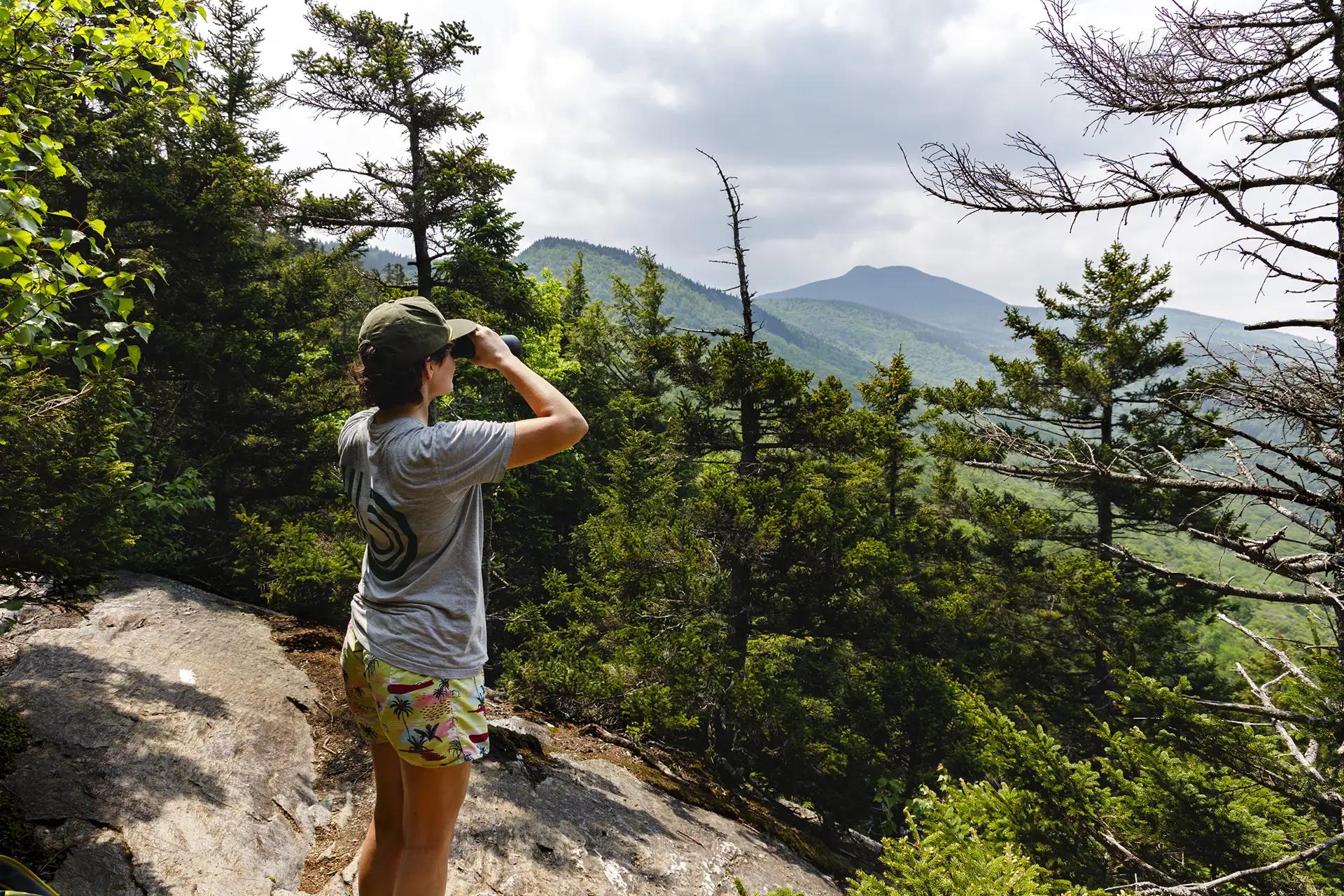
Hiker + Camel's Hump view_Bamforth Ridge_06-08-2025_Lily LaRegina.jpg
Region Camel’s Hump, Central Vermont
Length 5.8Miles
Difficulty Moderate
Elevation Gain

1600

Vertical Feet
Type

Out-and-Back

Good For Day Hiking, Families, Views

Description

From the parking area, hike north on the Long Trail. Cross a bridge over Gleason Brook (0.6 mi), then on to Duxbury Window, a beautiful lookout over the Winooski Valley with a bench (1.6 mi). Note that most of the hike is a gradual incline, but the trail is fairly steep for a short stretch just before the Window. Continue past the lookout for 1.1 mi. until reaching Bamforth Ridge Shelter spur trail (2.7 mi). From here it is 0.2 mi. to Bamforth Ridge Shelter (2.9 mi), a cedar log lean-to that is the only shelter along the northern side of Camel’s Hump. To return, continue back south for 2.9 mi. on the LT until reaching River Rd. parking lot (5.8 mi).  

You can extend this hike to the summit of Camel’s Hump, though it becomes steep and rugged. It is another 3.5 miles past Bamforth Ridge Shelter to reach the summit, with 2,183 ft. of elevation gain.  


Trail Map


Getting There

From Richmond/I-89 Exit 11: From the intersection of Main Street and Bridge Street in Richmond, continue south on Main Street/Route 2 for 3.5 miles. Turn right on Cochran’s Road, then left on dirt Duxbury Road. Pass the south entrance of the Winooski footbridge. After 3.5 miles, the parking area is on the right. 

From Waterbury/I-89 Exit 10: Turn onto VT 100 South from I-89. At the roundabout, turn onto US 2 East/VT 100 South. Turn right on Winooski St to cross the river, then turn right on River Road, also called Duxbury Road. Continue 6.0 mi to the parking lot on the left. There is a Long Trail sign at the lot entrance.


wood grain texture

Long Trail Guide 29th Edition

wood grain texture
Mansfield_Map_5th_Ed

Get the Map!

Mount Mansfield and the Worcester Range

wood grain texture

Get the Map!

Camel’s Hump and the Monroe Skyline

wood grain texture
NEK2019map_web_large

Get the Map!

Northeast Kingdom Hiking Trail Map

wood grain texture
Killington2022_Map_Cover_low-res_002_large

Get the Map!

Killington Area Hiking Trail Map with Ascutney & Okemo

wood grain texture

Sign up for emails to get seasonal hiking advice




