Branch Pond

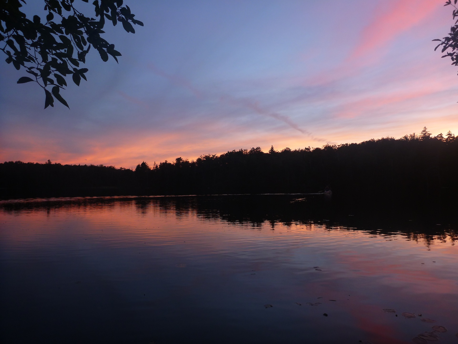
sunset at Branch Pond
Region Manchester Area, Southern Vermont
Length .5Miles
Difficulty Easy
Elevation Gain

50

Vertical Feet
Type

Out-and-Back

Good For Accessibility, Day Hiking, Families, Pond or lake

Description

From the west side of the Branch Pond parking lot, follow the boat launch trail 0.25 mi downhill to Branch Pond. The boat launch is small but offers a lovely view of the pond, as well as the chance to take a dip. A fun option with kids, kayaks, or both! Fishing is allowed with a Vermont fishing license.  

For a longer hike, try hiking the Branch Pond Trail to beautiful Bourn Pond! While the walk is 2.8 miles each way, the grade is very gentle. From the east side of the Branch Pond parking lot, take a 0.3 mi spur trail to the Branch Pond Trail. Turn left and head 2.5 mi north to Bourn Pond. 

NOTE: Bourn Pond sits at a four-way intersection, so be sure to take the Branch Pond Trail SOUTH when you head back to the trailhead. 


Trail Map


Getting There

From Manchester: Take US 7 south until exit 3. At exit, turn right onto 313W and then take an immediate right on South Road. At end of S Rd, turn right on Kansas Rd. Cross under US 7 and turn right on Kelley Stand Road (also known as Stratton Arlington Road). After 6.4 mi, turn left on Branch Pond Access Road. Road ends at parking area.  

From Wardsboro: Take 100S out of town. Turn right on Stratton Arlington Road (also known as Kelley Stand Road). After 10.9 mi, turn right on Branch Pond Access Road. Road ends at parking area. 


wood grain texture

Long Trail Guide 29th Edition

wood grain texture
Mansfield_Map_5th_Ed

Get the Map!

Mount Mansfield and the Worcester Range

wood grain texture

Get the Map!

Camel’s Hump and the Monroe Skyline

wood grain texture
NEK2019map_web_large

Get the Map!

Northeast Kingdom Hiking Trail Map

wood grain texture
Killington2022_Map_Cover_low-res_002_large

Get the Map!

Killington Area Hiking Trail Map with Ascutney & Okemo

wood grain texture

Sign up for emails to get seasonal hiking advice