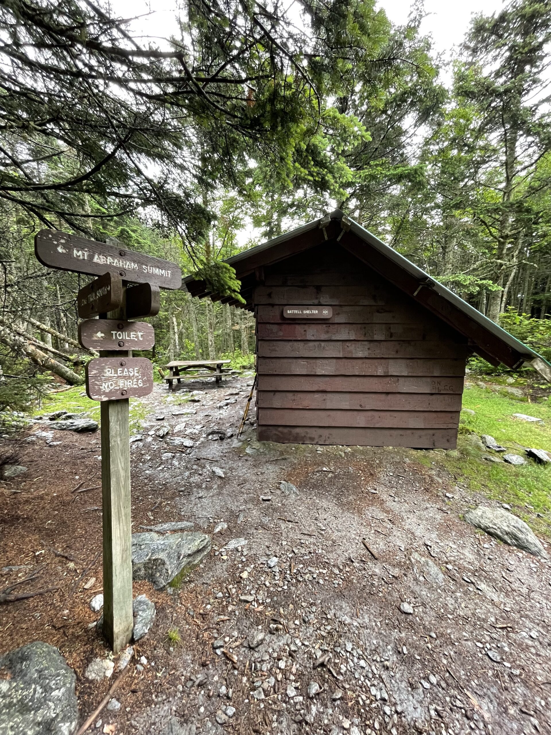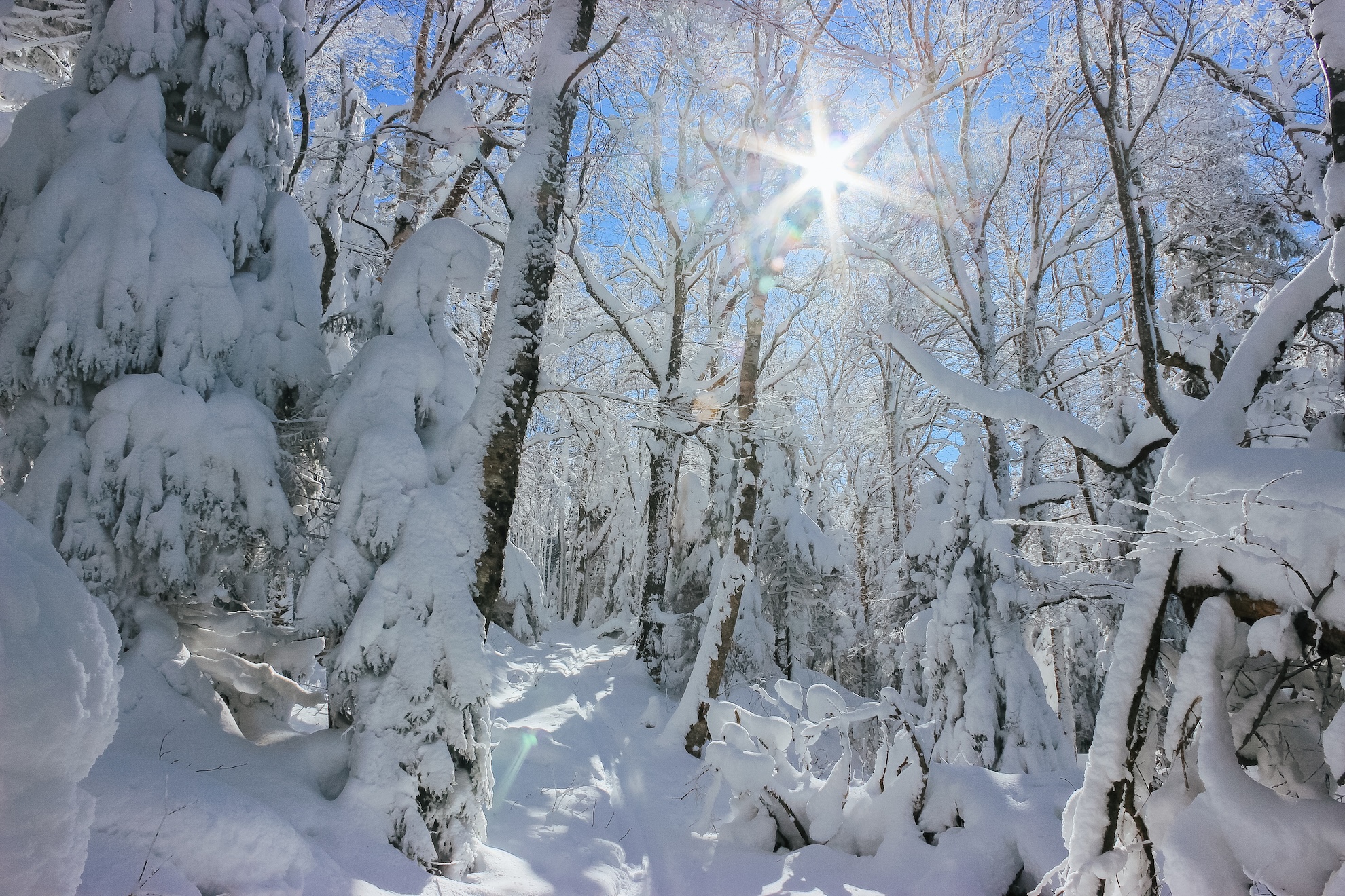
From Elder Hill Rd. parking lot, climb steadily through a sugarbush for almost a mile. After crossing two small streams and an old woods road (1.0 mi.), and then another woods road (1.2 mi.), arrive at the LT (2.0 mi.) just south of Battell Shelter. Take a right onto Long Trail North for 0.1 mi until reaching Battell Shelter (2.1 mi). To return, take Battell Trail back down to parking lot (4.2 mi).
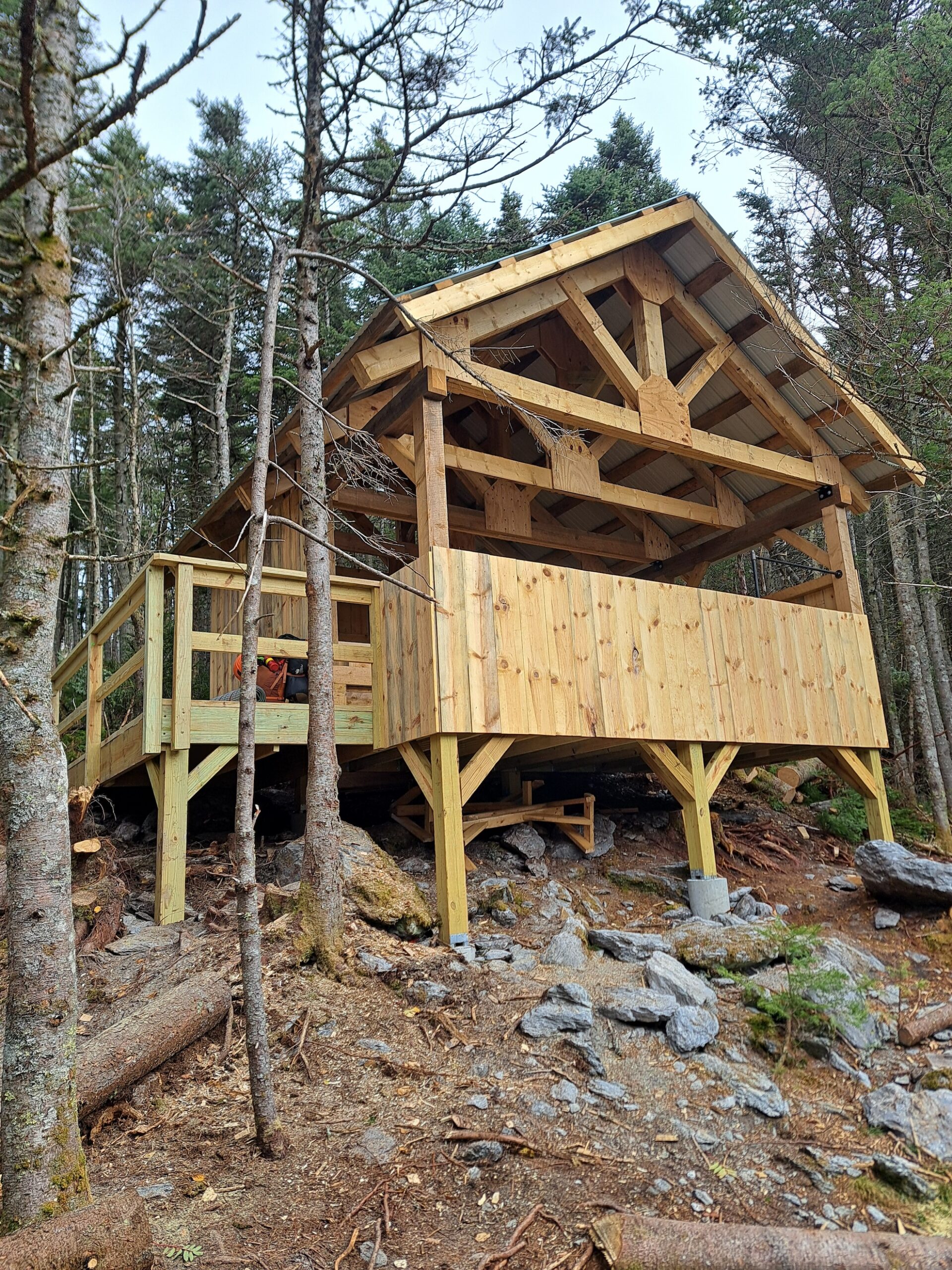
Battell Shelter is a popular overnight destination for end-to-end hikers and beginner backpackers alike. It is only about two miles from the nearest trailhead parking. A new, accessible shelter was built at this site in 2025 to expand capacity. Please take care to sleep only in the designated shelters, as the surrounding vegetation is fragile subalpine species and is suffering from overuse.
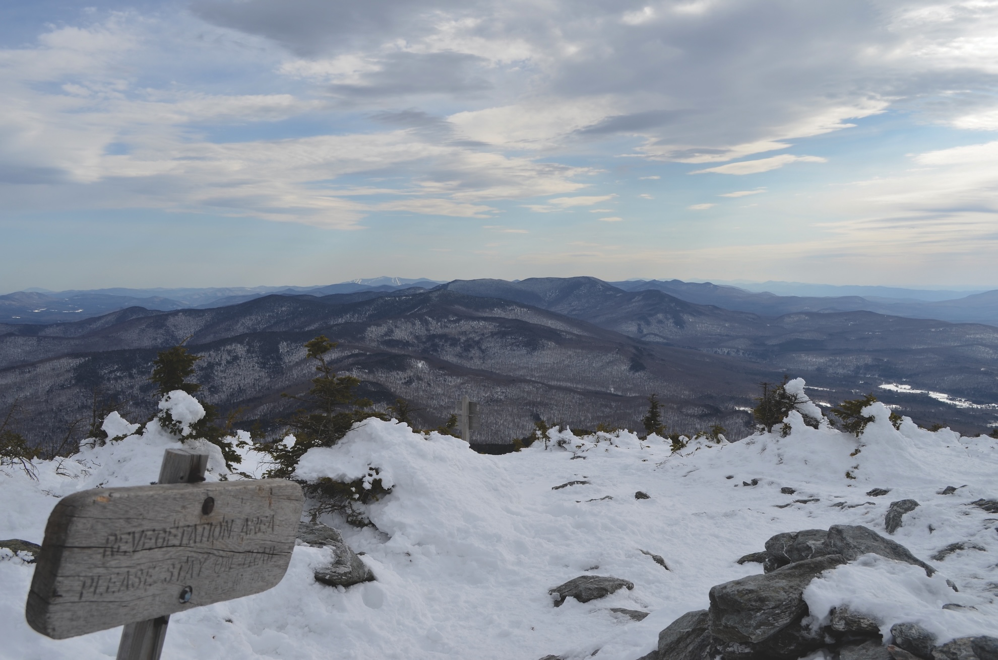
Note: From Battell Shelter, it is a challenging 0.8 miles on Long Trail North to reach the summit of Mount Abraham, one of Vermont’s five 4,000-footers and home to a small area of rare alpine vegetation. If continuing on to the summit, please take care to walk only on the rocks within the designated trail to protect these fragile plant communities.