
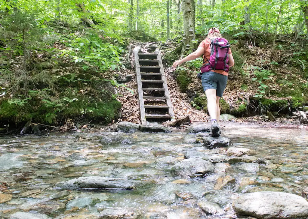
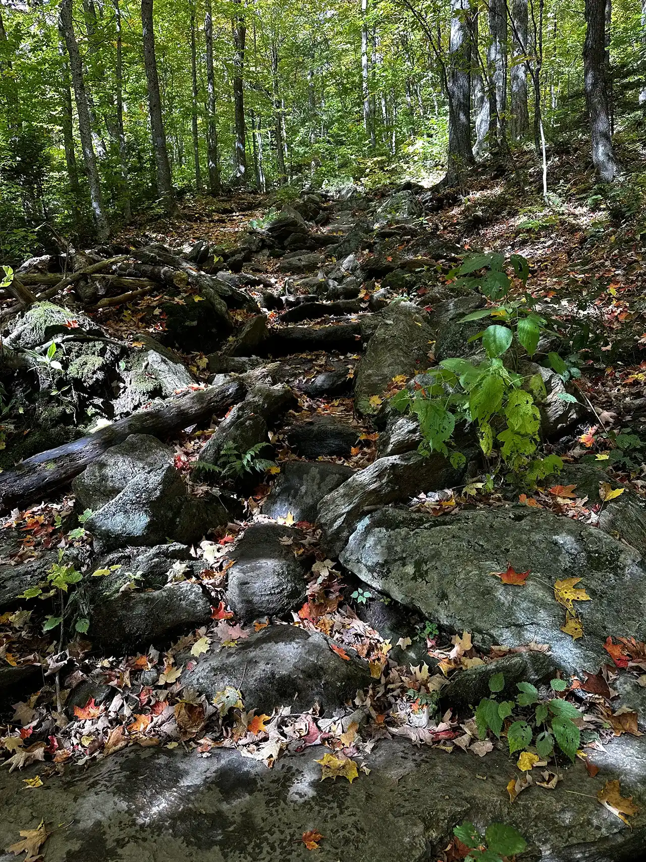
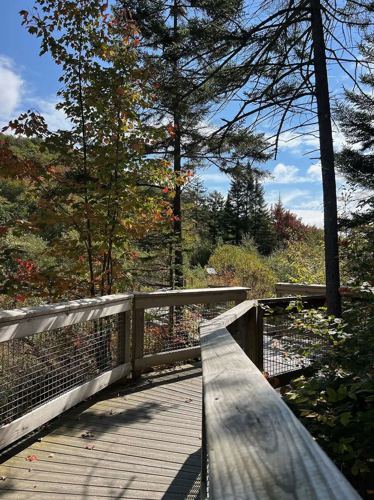
The Barnes Camp Loop starts on the Long Trail South at the boardwalk on the northern end of the parking lot. Proceed along the boardwalk with wetland views then continue on single track Long Trail North, blazed in white. In 0.3 mi. at intersection with Long Trail South and Picnic Area, turn right toward picnic area following blue blazes. Continue for 0.3 mi. to next intersection where Smugglers Notch picnic area is 0.1 mi. straight ahead. To continue on Barnes Camp Loop, turn right following blue blazes descending steps to the West Branch Waterbury River. Then cross the river, either rock hopping or fording during low water. Note there is no bridge crossing so in high water conditions it can be difficult. After crossing the river, the trail becomes moderately steep, gaining 400 ft. In a quarter mile. In 0.3 mi. at junction with Long Trail turn right following Long Trail South and Barnes Camp signs. The trail blazes are now white. The trail continues with a moderate descent for 0.5 mi. back to Barnes Camp completing the loop.
Barnes Camp Loop
Description
Trail Map
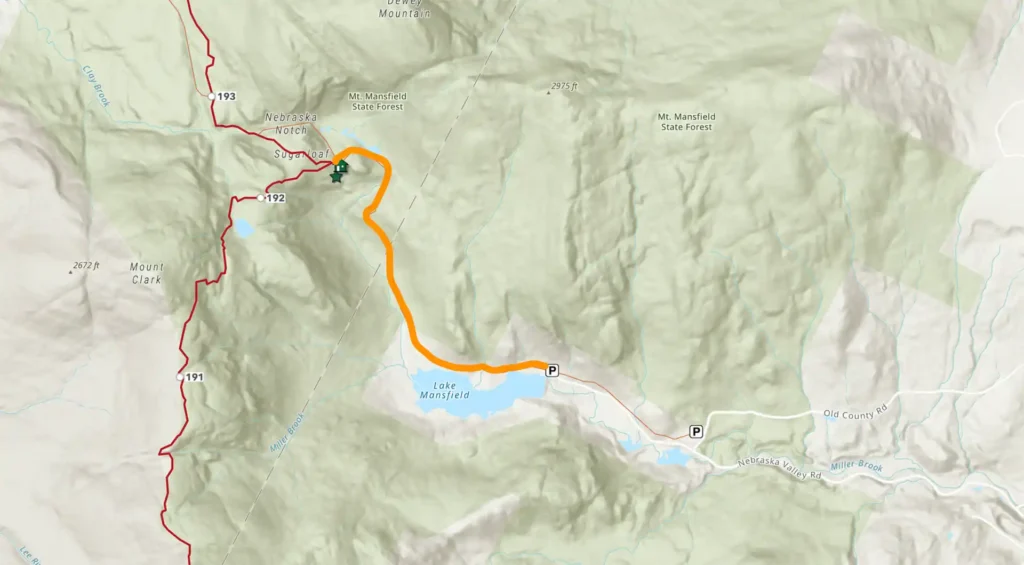
Photo Gallery
Getting There
Weather Conditions
Weather in Vermont can vary widely, especially in the mountains. Exposure to heat, humidity, rain, wind, snow, cold, and/or thunderstorms can all pose a risk to the hiker. Be sure to get up-to-date weather conditions before starting your hike.


Long Trail Guide 29th Edition

Get the Map!
Mount Mansfield and the Worcester Range

Get the Map!
Camel’s Hump and the Monroe Skyline

Get the Map!
Northeast Kingdom Hiking Trail Map

Get the Map!
Killington Area Hiking Trail Map with Ascutney & Okemo