
Find a Hike
Curated Hike Recommendations For Everyone
Use the filters below to find day hikes and overnight itineraries for you.
-
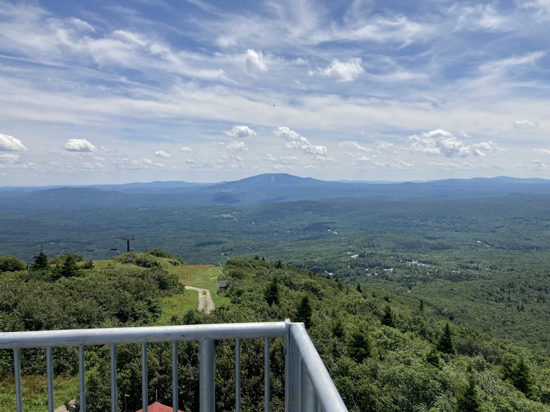
Bromley Mountain
From the Long Trail/Appalachian trail parking lot, follow white-blazed LT/AT north for 2.0 mi., crossing Bromley Brook and passing Bromley Shelter. Continue for another 1.0 mi until making it to Bromley Mountain summit at 3,260’ (3.0 mi). An observation tower sits on the summit and offers sweeping views of Killington, Okemo, Stratton, and Glastenbury mountains,…
-
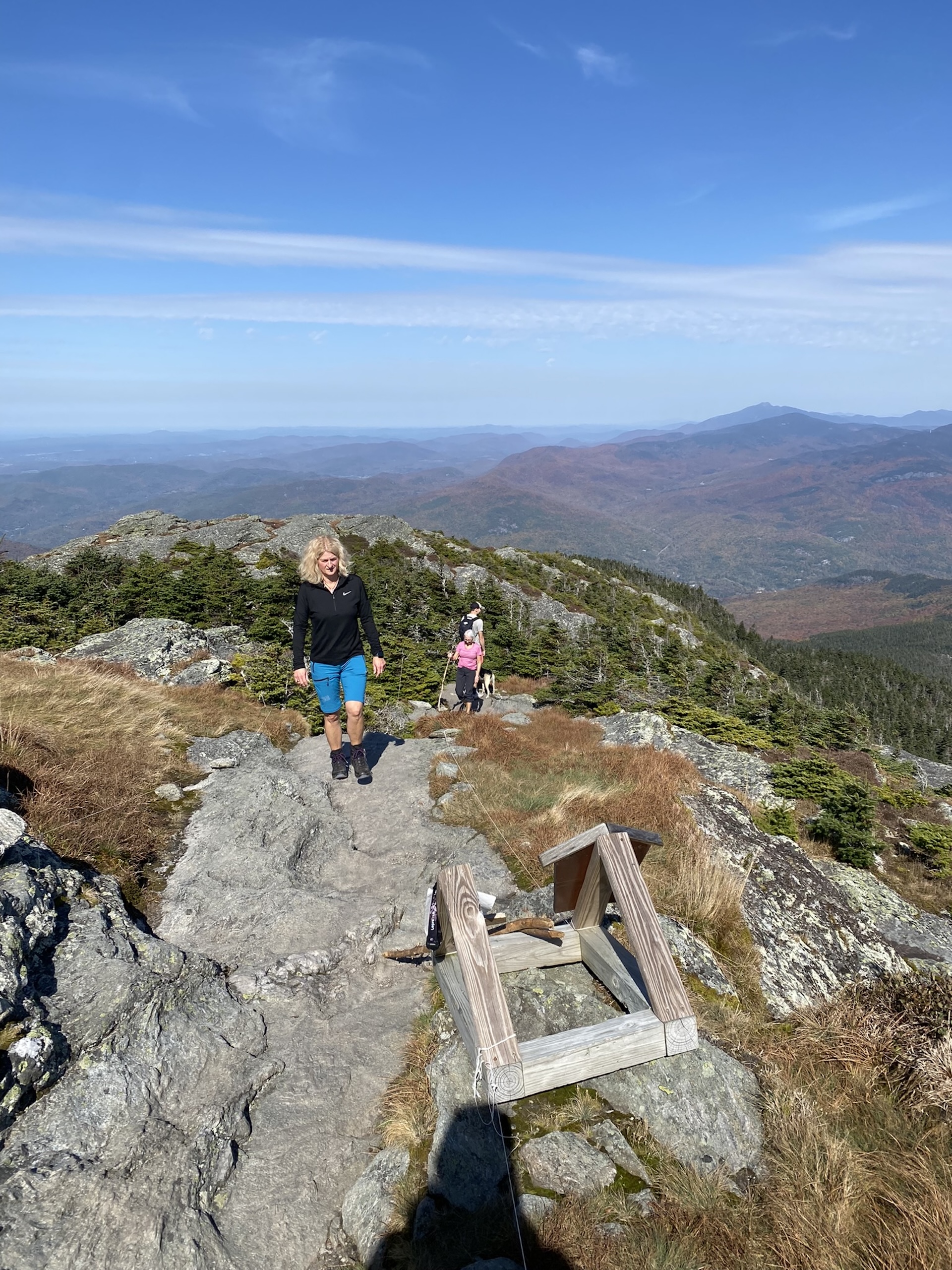
Burrows Trail
See the results of a three-year restoration of the extremely popular Burrows Trail, completed by GMC and FPR in 2024. This trail is steep and difficult, but the work put in by crews over the last three years has made the footing a lot more manageable. There are a few new re-routes on the lower part…
-
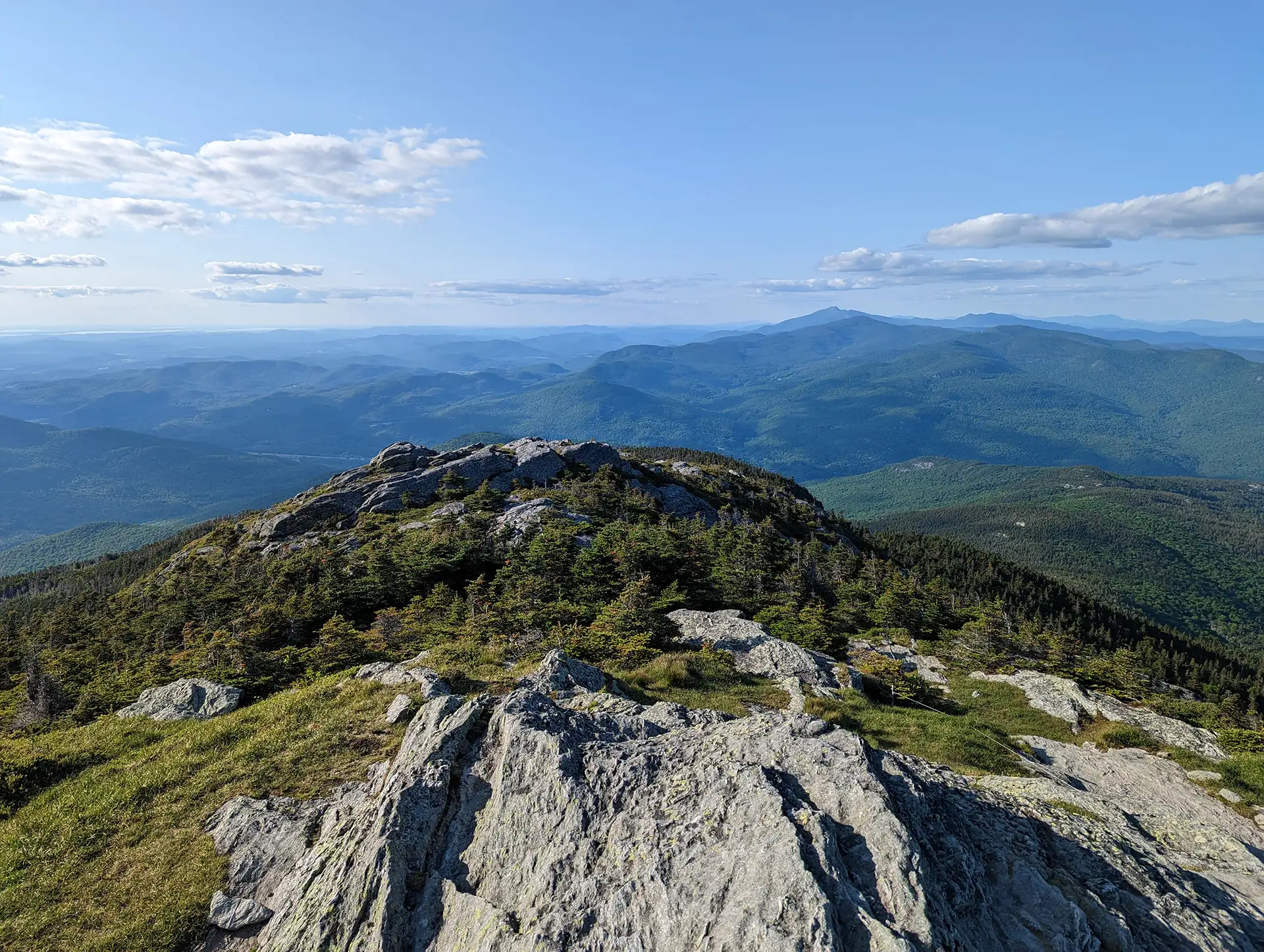
Camel’s Hump Summit via Monroe and Alpine Trails
From the Monroe Parking lot, follow the blue-blazed Monroe Trail for 1.3 mi. At the intersection with Dean Trail, stay right on Monroe for 1.2 mi (2.5 mi). At intersection with the Alpine Trail continue right on Alpine Trail for 1.2 mi (3.7 mi). Turn left onto Long Trail South for 0.8 mi towards the summit (4.5 mi). From the Hut Clearing continue on Long Trail South for 0.3 mi (4.8 mi). to the summit. The summit of Camel’s Hump is one of the five tallest in Vermont at 4,083’ and offers 360-degree views to the Adirondacks, Whites, and Green Mountains. Continue over the…
-

Camel’s Hump Summit via Monroe and Dean Trails
From the Monroe Parking lot, follow the blue-blazed Monroe Trail for 1.3 mi. At the first intersection take a left onto Dean Trail, continuing for 1.0 mi. to Wind Gap (2.3 mi). From Wind Gap take a right onto Long Trail North. Follow for 1.5 mi. to the summit of Camel’s Hump (3.8 m.). The summit of Camel’s Hump is one of the five tallest in Vermont at 4,083’ and offers 360-degree views to the…
-
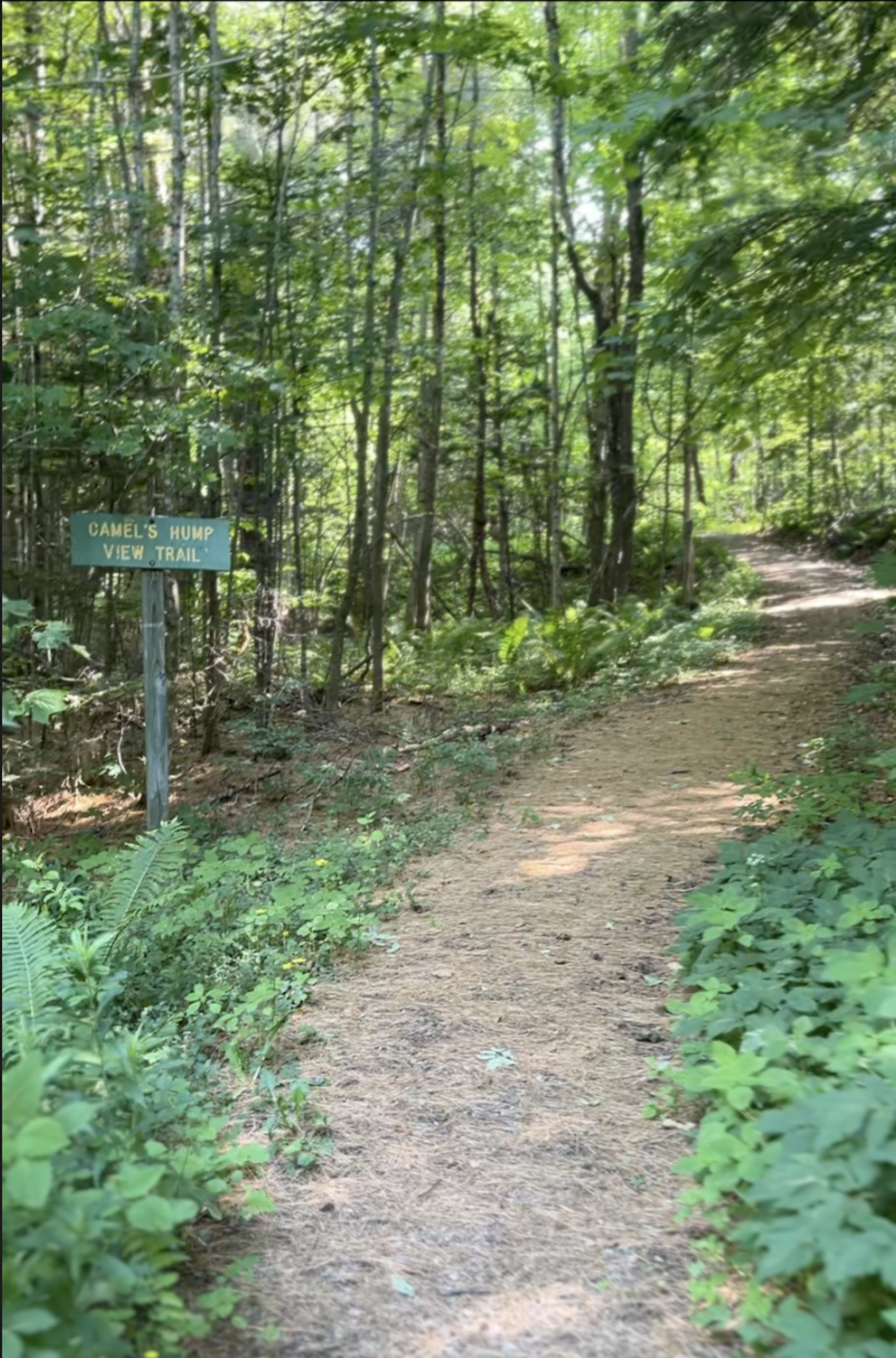
Camel’s Hump View Trail
This lollipop-style loop trail features multiple gorgeous views of Camel’s Hump, which are especially good as the leaves begin to fall in autumn. The trail also features several benches, which offer nice rest spots. From the sign at the parking lot, head out on the main path. Soon you will come to a split where…
-
Deer Leap Trail
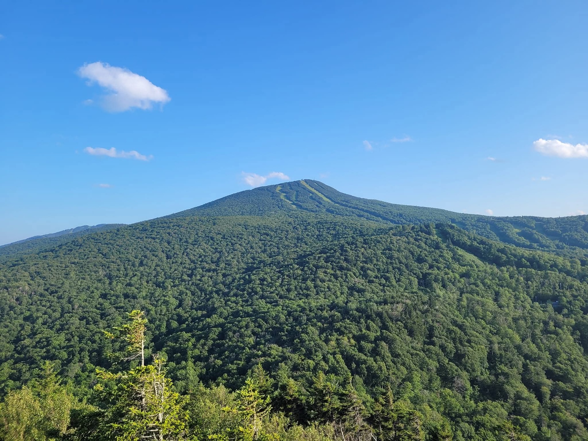
The Deer Leap Trail is a relatively short but rugged hike to the top of a rock outcrop with impressive views of the Coolidge Range and Sherburne Pass. The trail starts on the north side of Rt. 4, at the east end of the Inn at Long Trail parking lot. Note that it is suggested to park across Rt. 4 as there is more space available. Be very cautious crossing the road…
-
Staff Favorite
Duxbury Window Trail
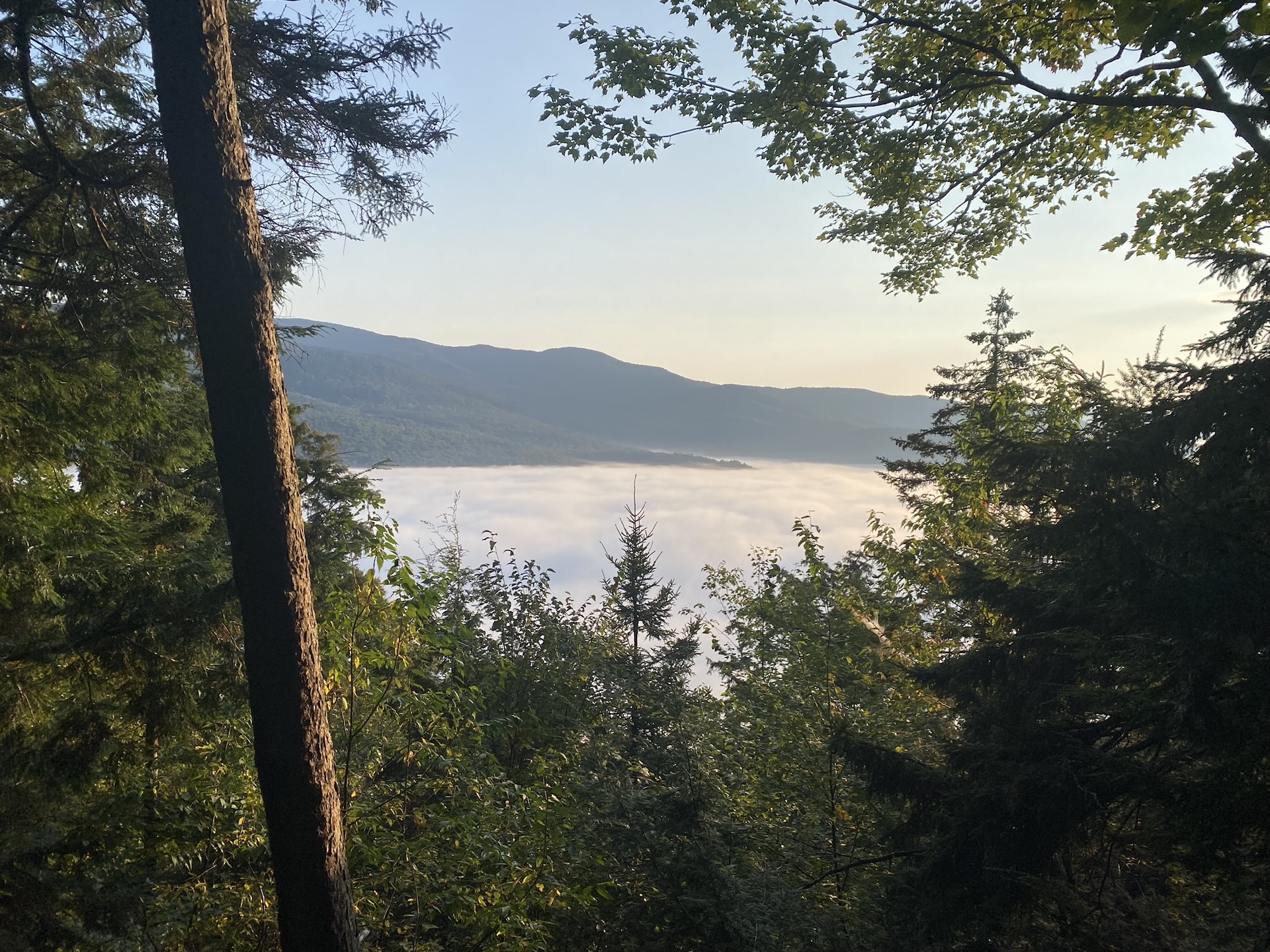
A great option on a clear day! From the parking area on Duxbury Road, hike south on the Long Trail. Cross a bridge over Gleason Brook (0.6 mi), then on to a beautiful lookout over the Winooski Valley with a bench (1.6 mi). Note: Most of the hike is a gradual incline, but the trail is fairly steep for a short…
-
Elephant’s Head Cliff (via Long Trail)
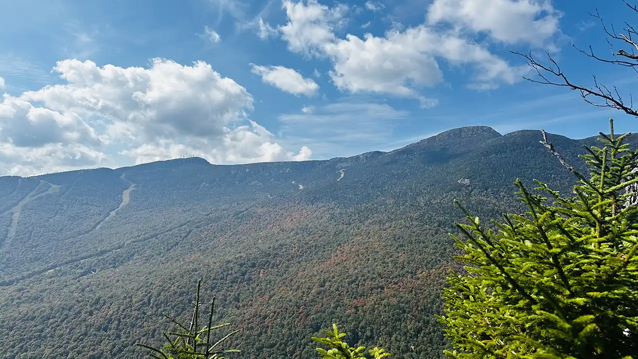
There are a few different ways to reach the Elephant’s Head Cliff overlook, which offers spectacular views of Smuggler’s Notch and Mount Mansfield. This description is for the Long Trail route. Start at the Barnes Camp visitor center and take the Long Trail North, which starts behind the building. Cross the West Branch Waterbury River…
-
Forest City, Long Trail, and Burrows Trail Loop
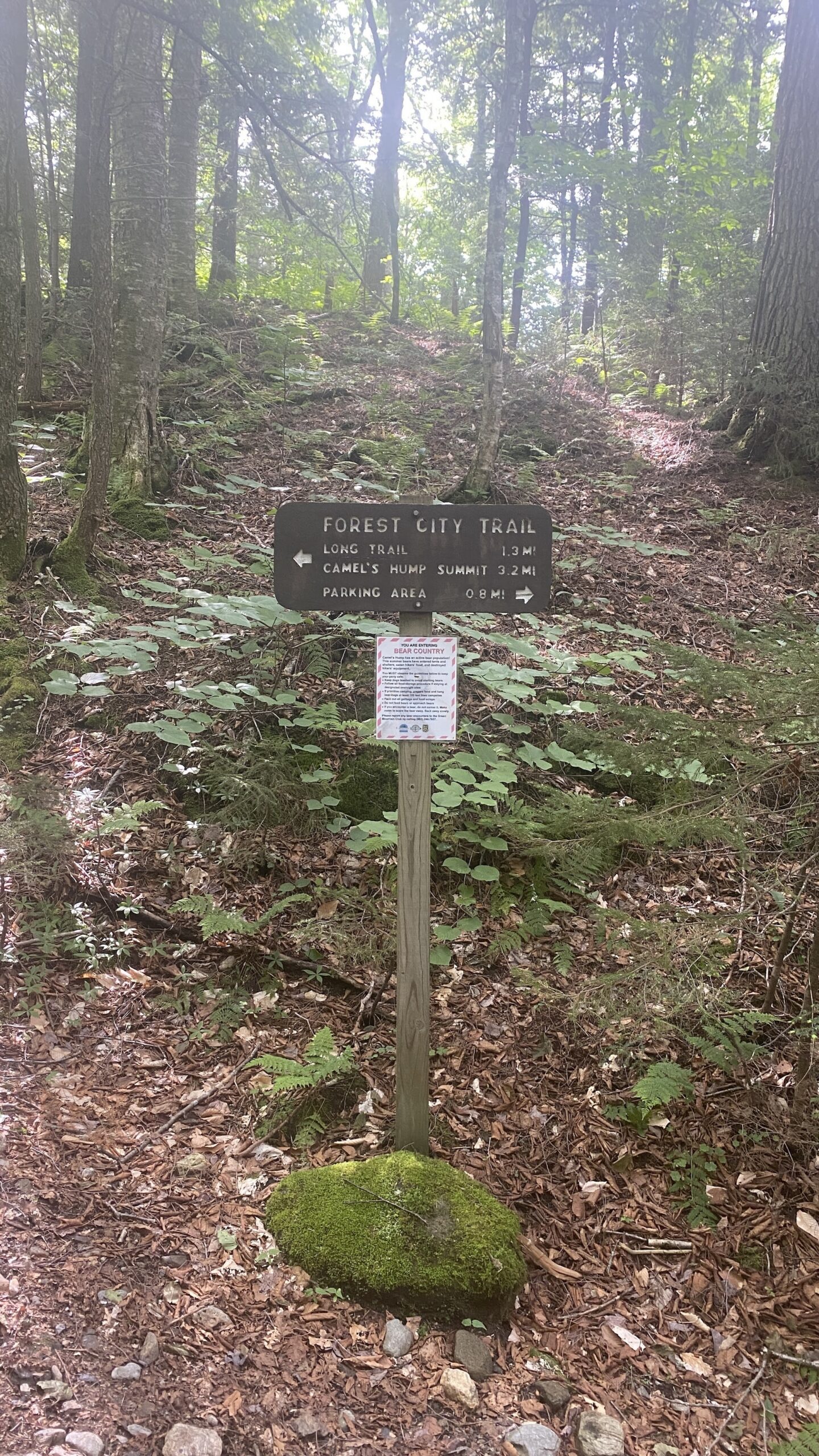
This challenging loop to the Camel’s Hump summit is a fun alternative to the popular out-and-back Burrows route. Starting at the Lower/Forest City lot, take Forest City Trail follow an old logging road and cross over Brush Brook, passing an intersection with the Forest City Connector (0.8 mi). Continue on Forest City Trail, climbing gradually for 1.4 mi. to the intersection with Montclair Glen Lodge and the Long Trail (2.2 mi). Turn left/north on the white-blazed Long Trail…
-
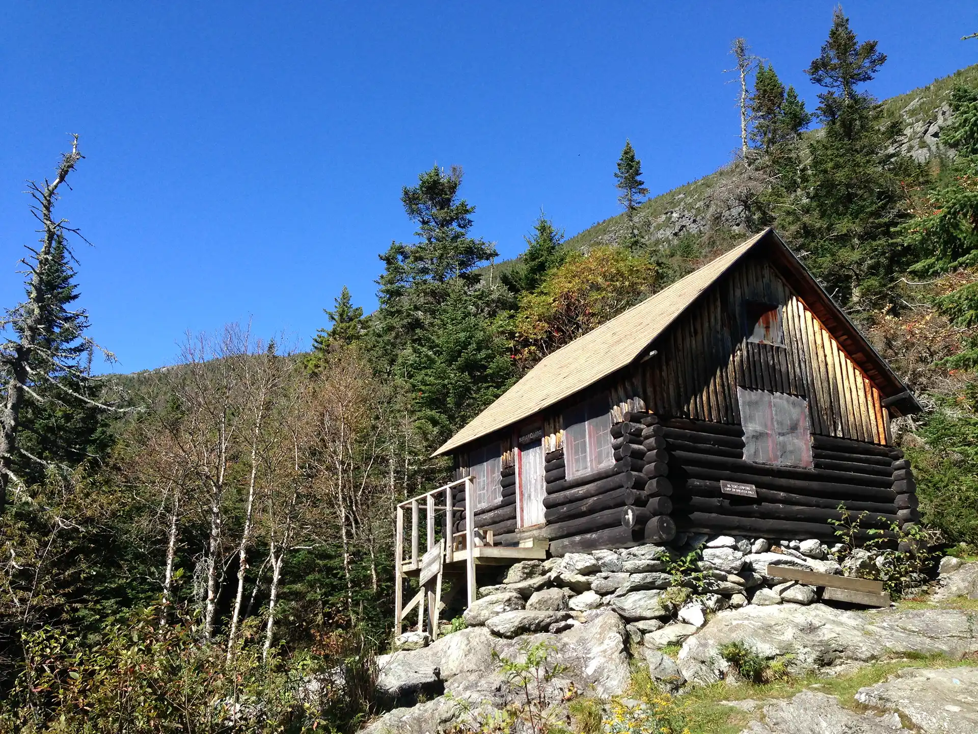
Frost Trail and Butler Lodge Loop
This is a good moderate day hike or beginning overnight trip. A beautiful but difficult 4.8-mile loop can be made by connecting the Frost, Maple Ridge, Rock Garden, and Butler Lodge Trails. The loop provides a variety of terrain with many amazing views, exciting rock scrambles and caves, interesting birch forests, and of course, Butler…
Search results come from a curated selection of all GMC-managed trails. GMC manages the Long Trail, its 88 side trails, the entire Appalachian Trail in VT, and 30+ miles of trail in the Northeast Kingdom. Additionally, there are hundreds more hiking trails in the state, in state parks, state forests, town forests, and on private land. Those can be found on TrailFinder, which works directly with land managers to ensure accurate information.
Don’t Forget Your Map
Paper maps make great hiking companions. Cell service is limited and batteries can die. Purchase a guidebook, Long Trail Map or area-specific hiking map produced by the Green Mountain Club, so you know you have the most accurate and up-to-date information in your pocket.


More Hiking Resources


GMC Hike Experts at Your Fingertips
Need more information? Call, email, or visit the GMC Visitor Center to get custom hike planning advice and trail recommendations.