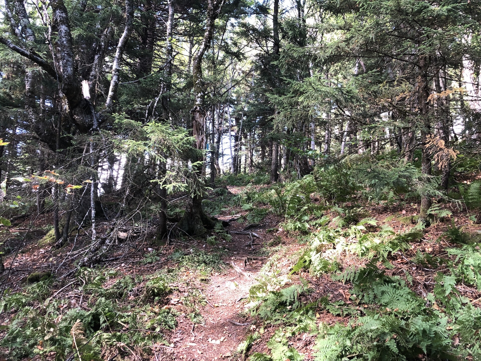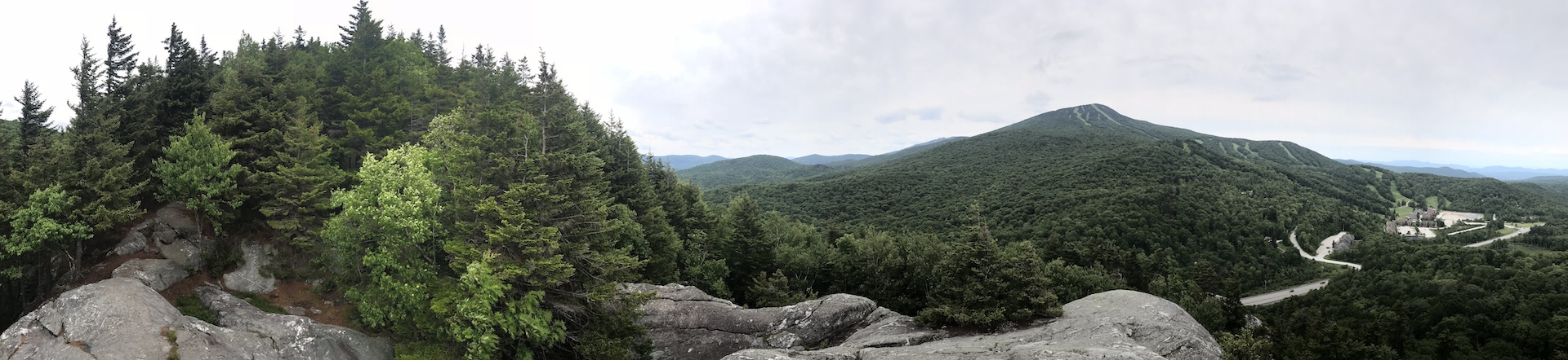
The Deer Leap Trail is a relatively short but rugged hike to the top of a rock outcrop with impressive views of the Coolidge Range and Sherburne Pass. The trail starts on the north side of Rt. 4, at the east end of the Inn at Long Trail parking lot. Note that it is suggested to park across Rt. 4 as there is more space available. Be very cautious crossing the road to get to the trailhead, as it is on top of a busy blind hill. Once at the trailhead climb steadily for 0.5 miles on Deer Leap/Sherburne Pass Trail going north until the intersection with the Appalachian Trail (AT). This first section is very rocky. Turn left and follow the AT for about 200 feet. At the intersection with Deer Leap Trail turn left and continue for .4 mi to the Overlook Spur, which leads 0.2 mi to the Deer Leap Rock Lookout (1.1 mi). To return either continue back down Deer Leap Trail to Sherburne Pass Trail (2.2 mi) or continue past the overlook to make a loop (see description below).
To extend your hike, try the 3.5 mi Deer Leap Loop! From the Overlook Spur, continue 0.9 mi on the Deer Leap Trail until intersecting with the AT again. Turn right (AT north) and follow the AT 0.8 mi back to the original intersection. Turn right on the Deer Leap Trail/Sherburne Pass Trail to return to the parking lot.