Camel’s Hump Summit via Monroe and Dean Trails

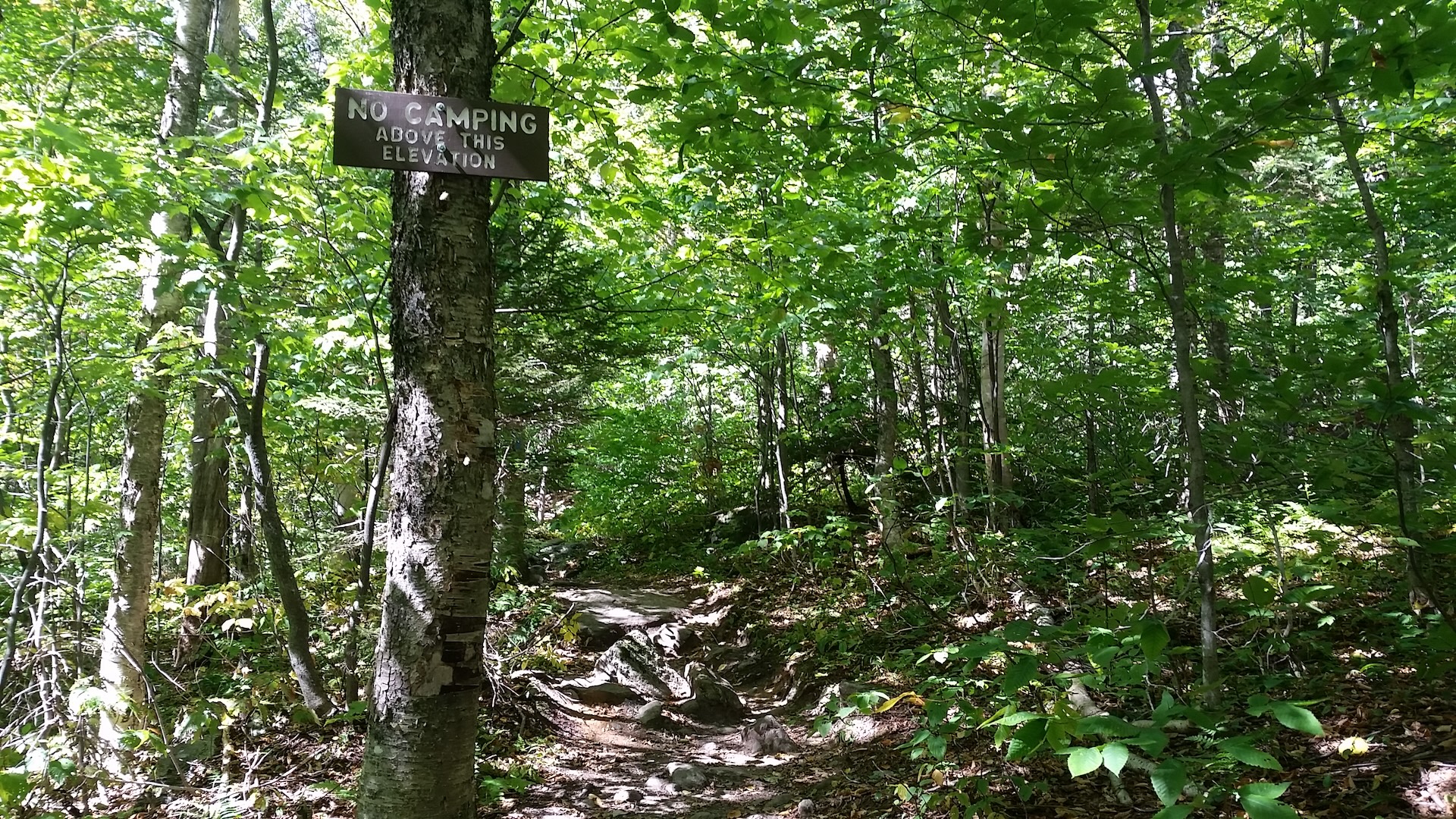
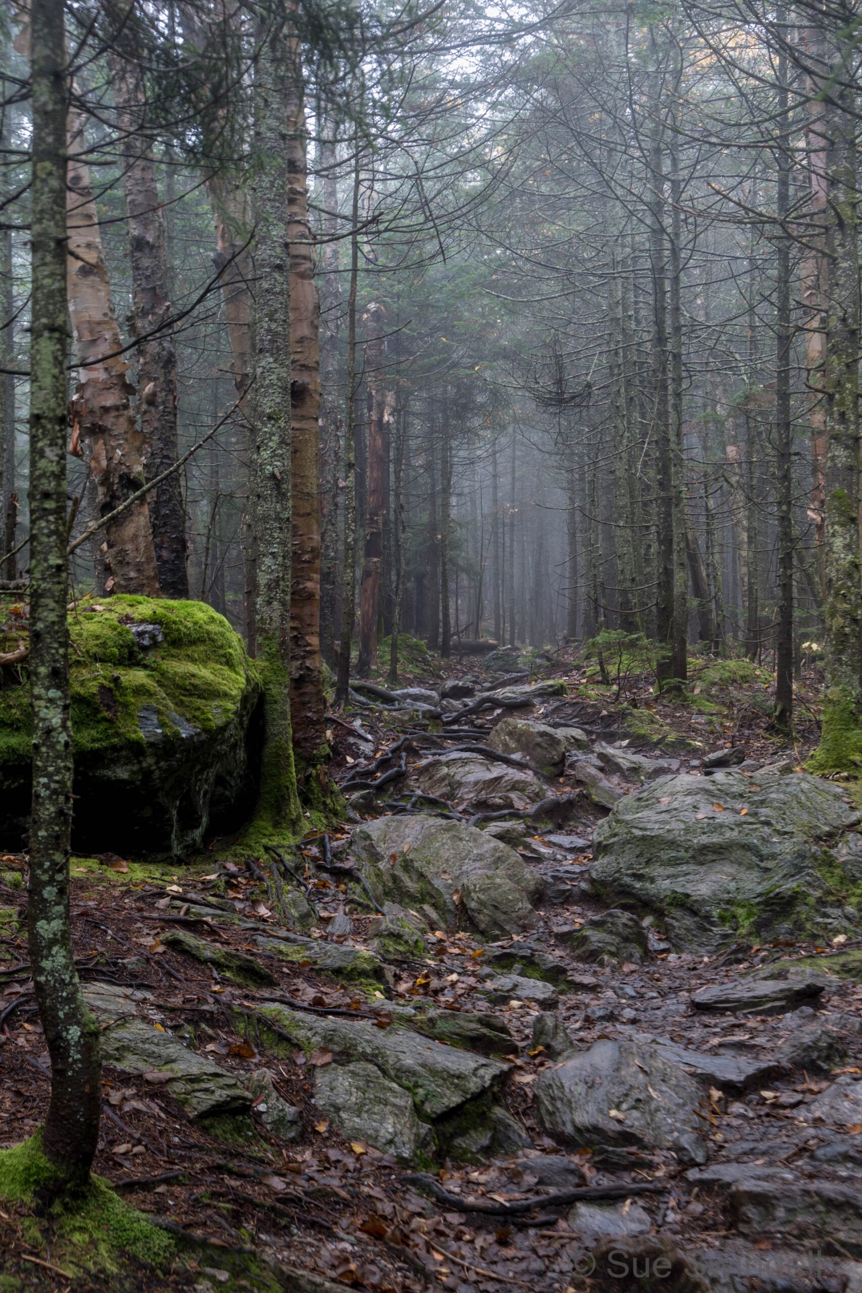
Monroe Trail_CH Area_September_Chris Catania (2)
Region Camel’s Hump, Central Vermont
Length 7.2Miles
Difficulty Difficult
Elevation Gain

3100

Vertical Feet
Type

Out-and-Back

Good For 4,000 Footers, Day Hiking, Summits, Views

Description

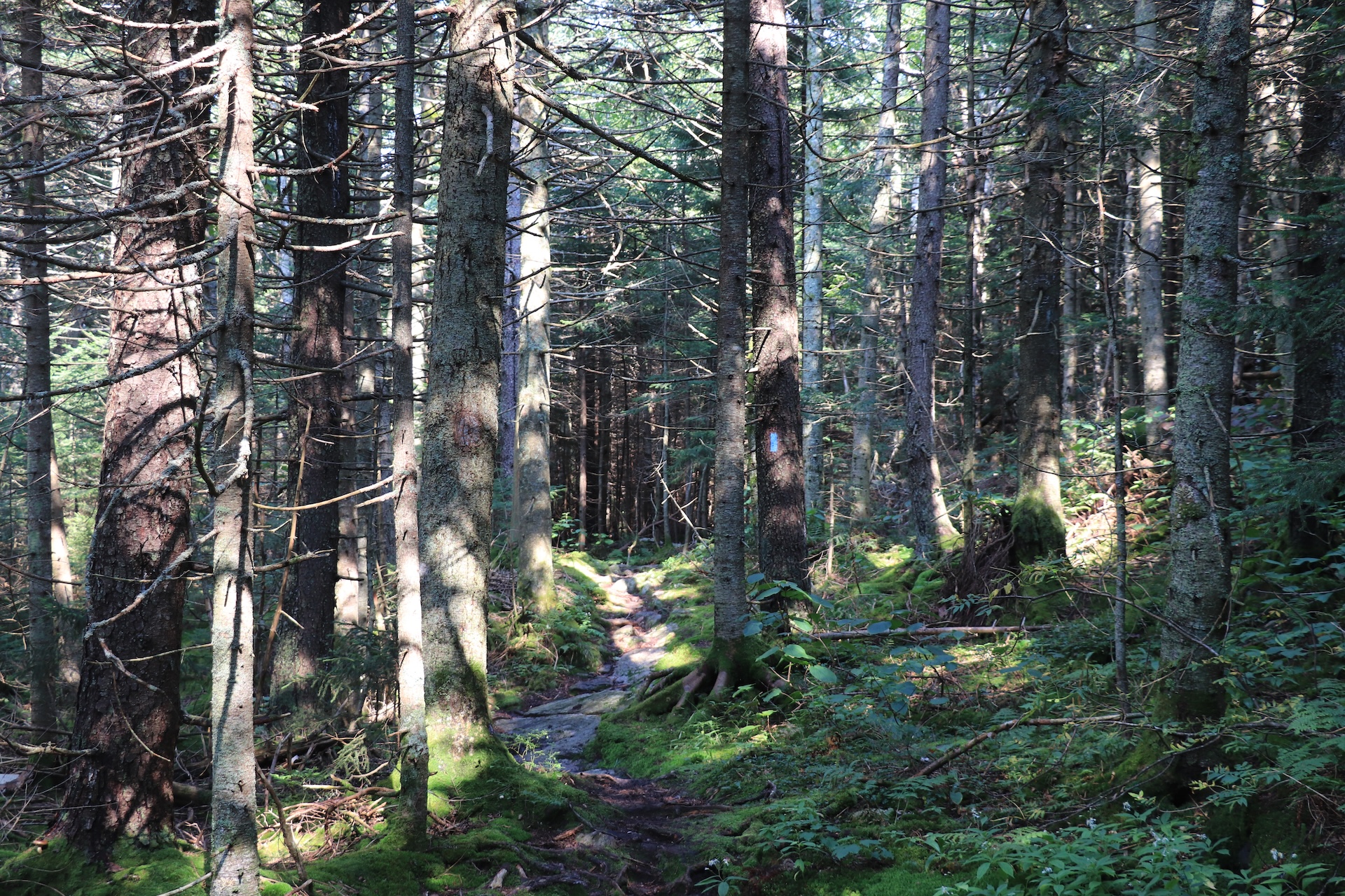
From the Monroe Parking lot, follow the blue-blazed Monroe Trail for 1.3 mi. At the first intersection take a left onto Dean Trail, continuing for 1.0 mi. to Wind Gap (2.3 mi). From Wind Gap take a right onto Long Trail North. Follow for 1.5 mi. to the summit of Camel’s Hump (3.8 m.). The summit of Camel’s Hump is one of the five tallest in Vermont at 4,083’ and offers 360-degree views to the Adirondacks, Whites, and Green Mountains. Continue over the summit on Long Trail North for 0.3 mi. until reaching the Hut Clearing and intersection with Monroe Trail (4.1 mi). Continue right on to Monroe Trail for 3.1 mi back to trailhead (7.2 mi).  
 

Note: The Camel’s Hump summit is home rare arctic alpine vegetation, one of only three remaining alpine zones in Vermont. The plants are fragile and easily damaged. Help protect the alpine zone by doing the “rock walk” above treeline, staying on the bare rock between the white string. In the summer, a caretaker facilitates summit education, educating hikers about fragile ecosystems at high-use sites along the Long Trail.   

Trail Map


Getting There

From Richmond/I-89 Exit 11: Turn onto US-2 E and head east. At the Jonesville Post Office, turn right on Cochran Rd. Immediately cross the river and turn left on Duxbury Rd, also called River Rd. After 5.9 mi, you will come to a stop sign. Turn right on Camel’s Hump Rd. After about 3 mi you will see a “Welcome to Camel’s Hump State Park” sign.

From Waterbury/I-89 Exit 10: Turn onto VT 100 South from I-89. At the roundabout, turn onto US 2 East/VT 100 South. Turn right on Winooski St to cross the river, then turn right on River Rd, also called Duxbury Rd. In 3.9 mi, you’ll come to an intersection with an arrow pointing towards Camel’s Hump State Park. Turn left onto Camel’s Hump Rd. After about 3 mi you will see a “Welcome to Camel’s Hump State Park” sign.

Note: There are two main Monroe Trail Parking Lots at the end of Camel’s Hump Road. If the main lots are full, use the winter parking lot, 0.5 miles further west. Note that the gate to the main parking lot is closed all winter as the road is unplowed which adds an extra 0.5 mi.


wood grain texture

Long Trail Guide 29th Edition

wood grain texture
Mansfield_Map_5th_Ed

Get the Map!

Mount Mansfield and the Worcester Range

wood grain texture

Get the Map!

Camel’s Hump and the Monroe Skyline

wood grain texture
NEK2019map_web_large

Get the Map!

Northeast Kingdom Hiking Trail Map

wood grain texture
Killington2022_Map_Cover_low-res_002_large

Get the Map!

Killington Area Hiking Trail Map with Ascutney & Okemo

wood grain texture

Sign up for emails to get seasonal hiking advice