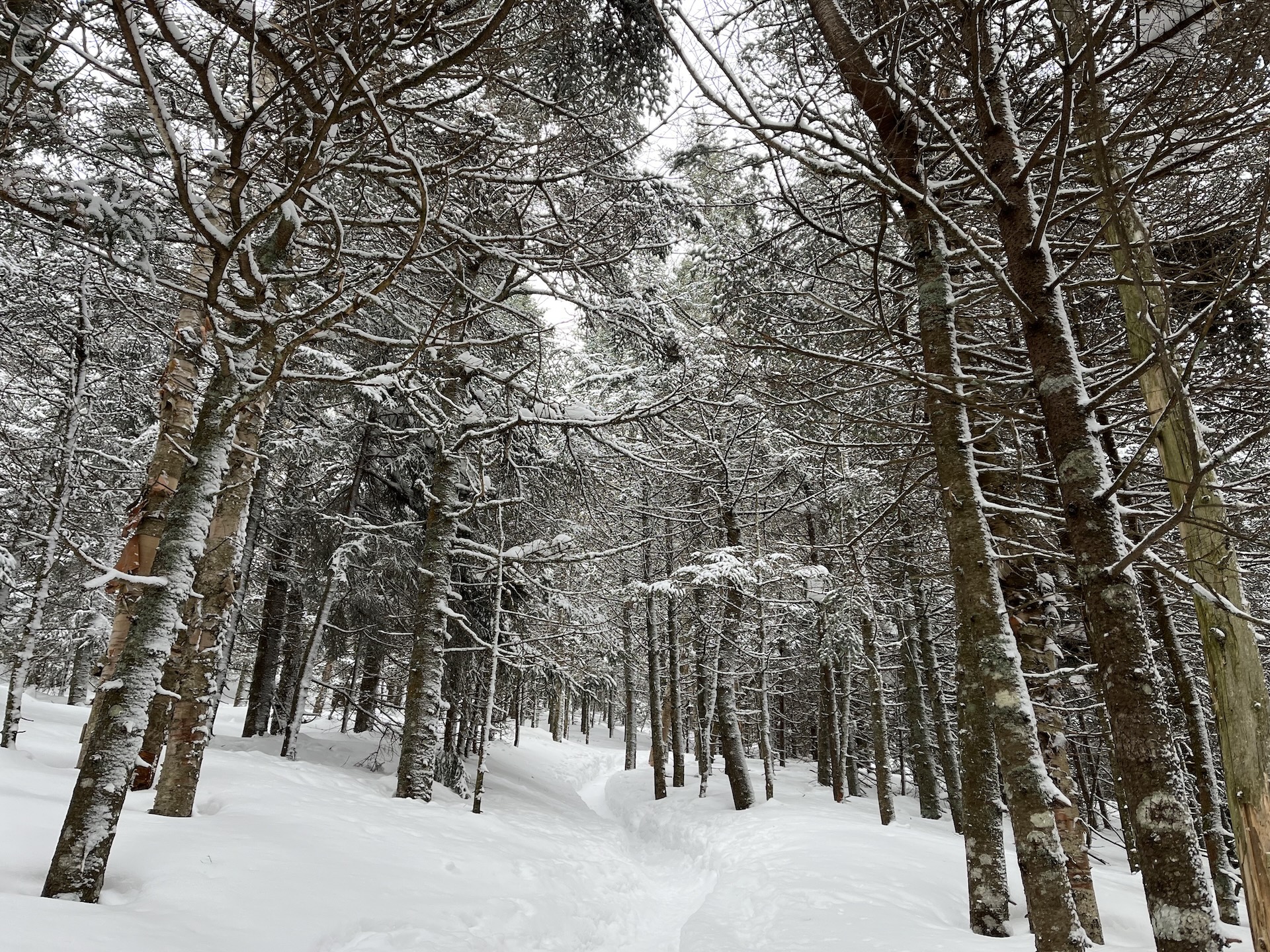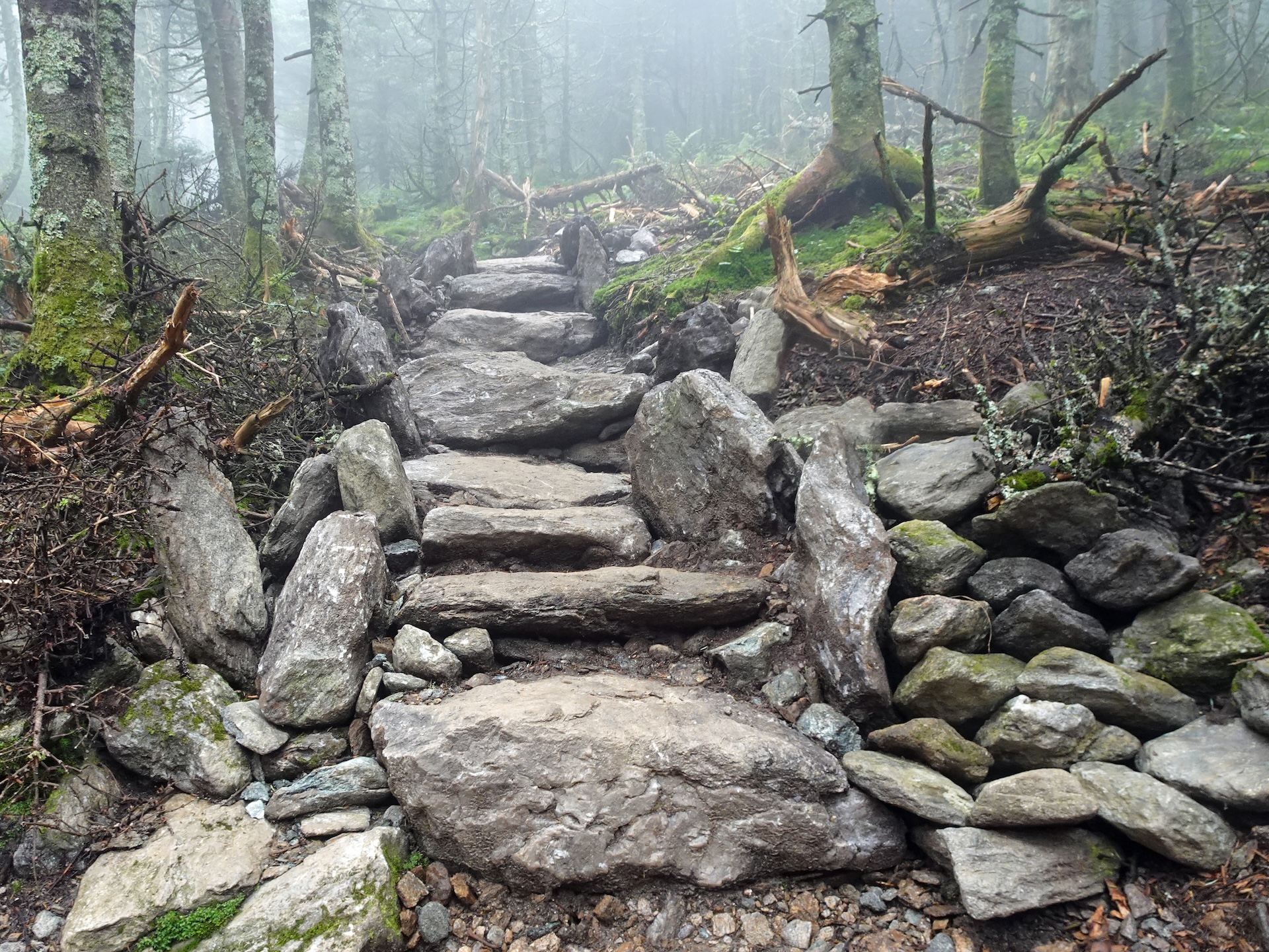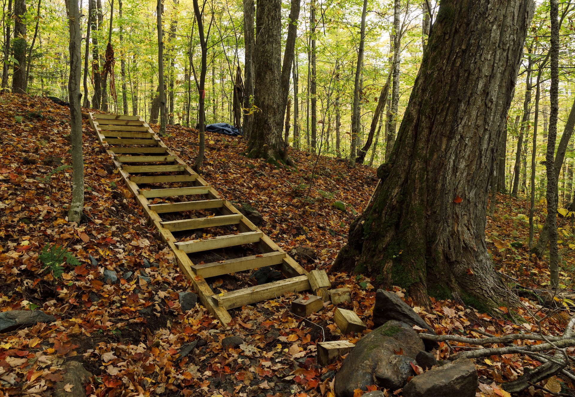
See the results of a three-year restoration of the extremely popular Burrows Trail, completed by GMC and FPR in 2024. This trail is steep and difficult, but the work put in by crews over the last three years has made the footing a lot more manageable. There are a few new re-routes on the lower part of the trail that were built with sustainable grades, and hundreds of new stone steps to help hikers and slow the flow of water on the trail.
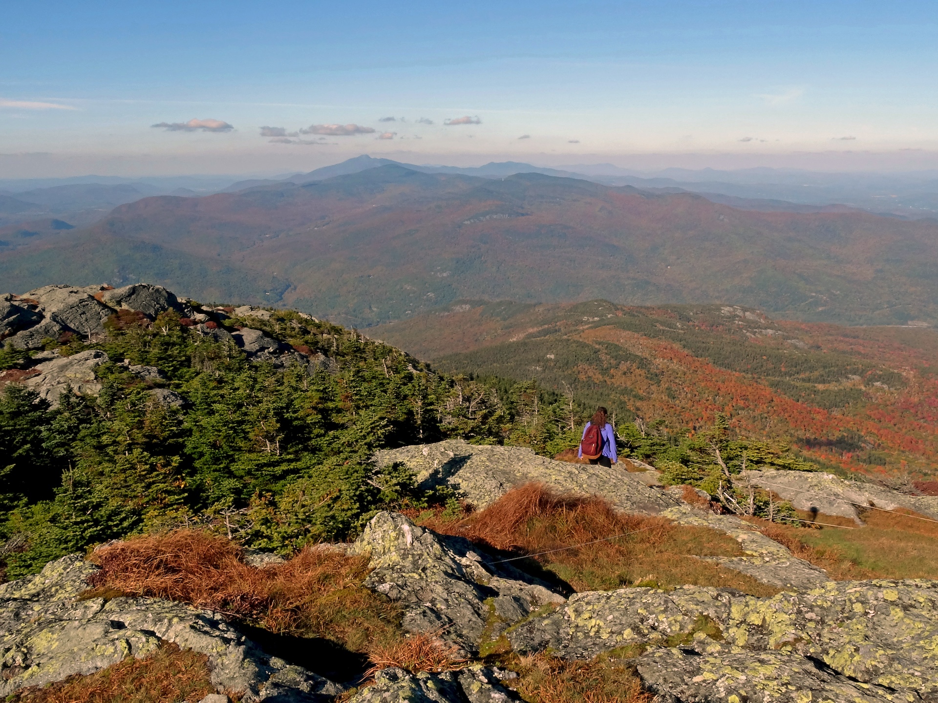
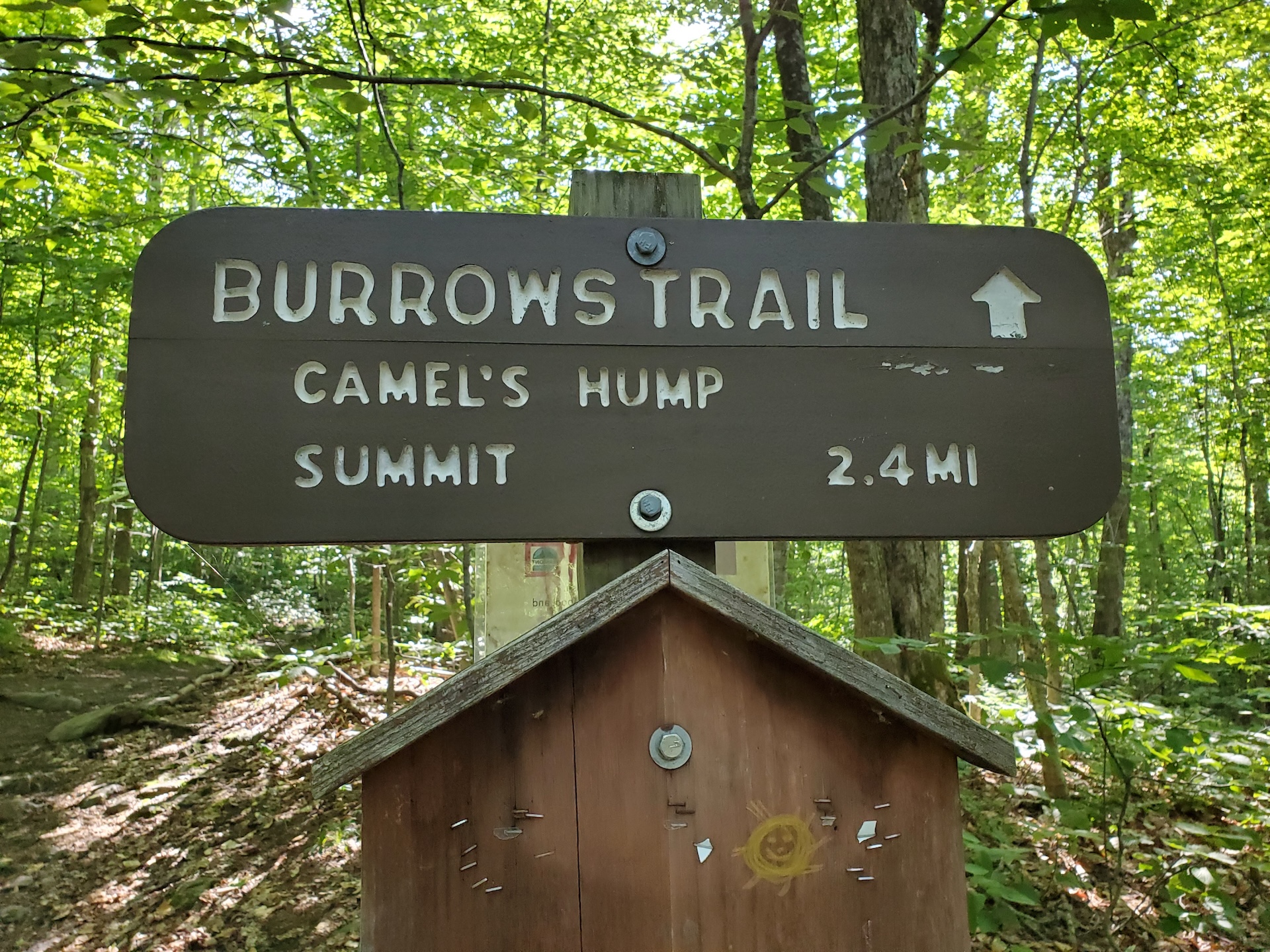
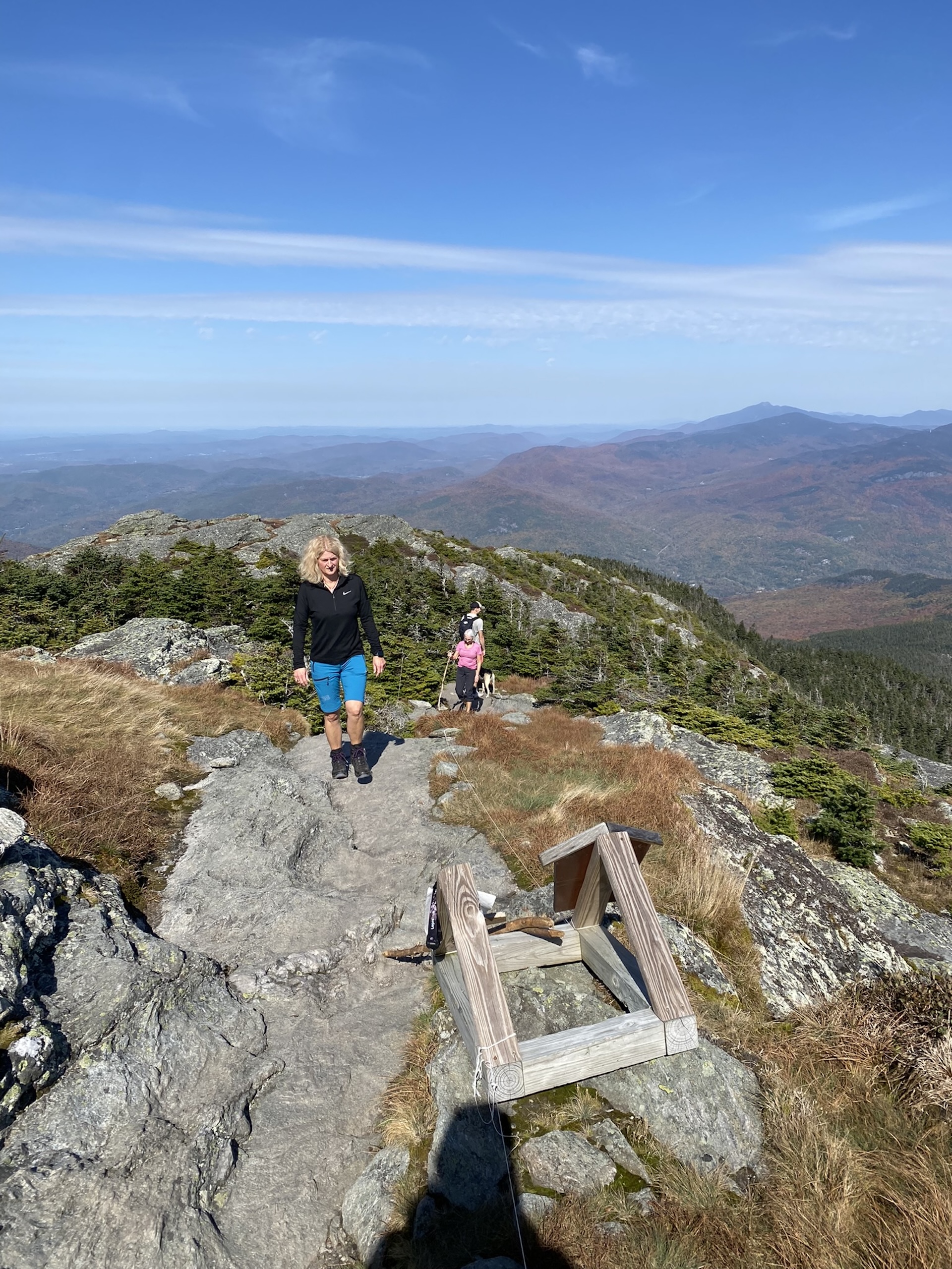
From Upper Forest City/Burrows parking area, enter the woods at the edge of the lot, cross a bridge, and begin ascending moderately and steadily on Burrows Trail. After 2.1 miles, reach the “Hut Clearing,” where the Long Trail, Monroe Trail, and Burrows Trail all meet. Turn right, following signs for Long Trail South, to ascend another 0.3 miles to the summit (2.4 mi). This portion of the trail is above treeline and requires some careful footing and light rock scrambling. Take in the 360-degree view from the summit, then return the way you came, traversing back down to Hut Clearing to take the Burrows Trail back 2.1 miles (4.8 mi).
Note: Camel’s Hump is home to the alpine zone, one of the three peaks in Vermont that has arctic tundra. The plants are fragile and easily damaged. Help protect the alpine zone by doing the rock walk above treeline, staying on the bare rock. In the summer, a caretaker facilitates summit education, educating hikers about fragile ecosystems at high-use sites along the Long Trail.