Camel’s Hump View Trail

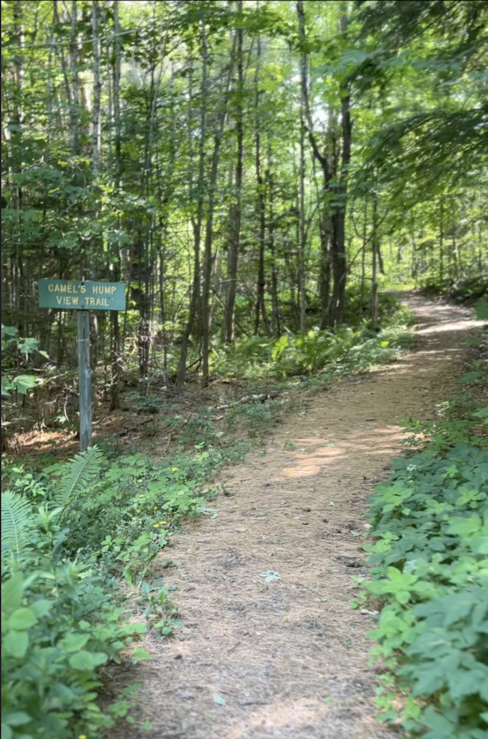
wide, smooth surface on camel's hump view accessible trail
Region Camel’s Hump, Central Vermont
Length 0.8Miles
Difficulty Easy
Elevation Gain

130

Vertical Feet
Type

Loop

Good For Accessibility, Families, Mud Season, Views

Description

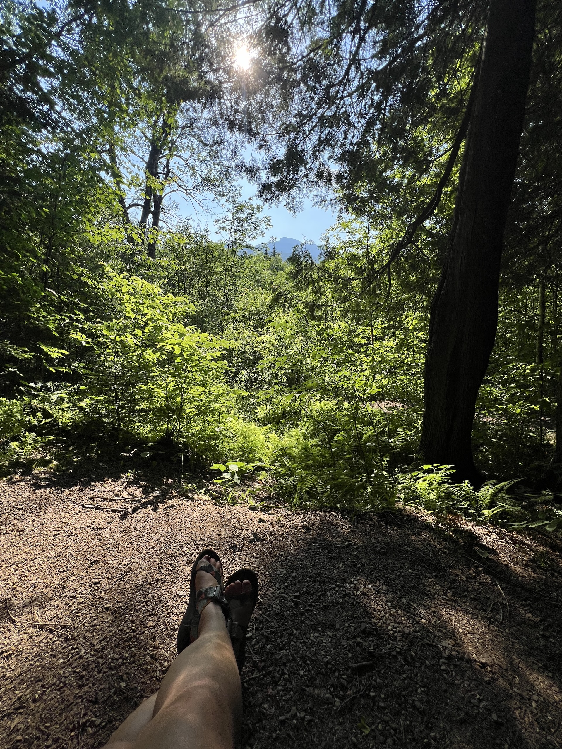
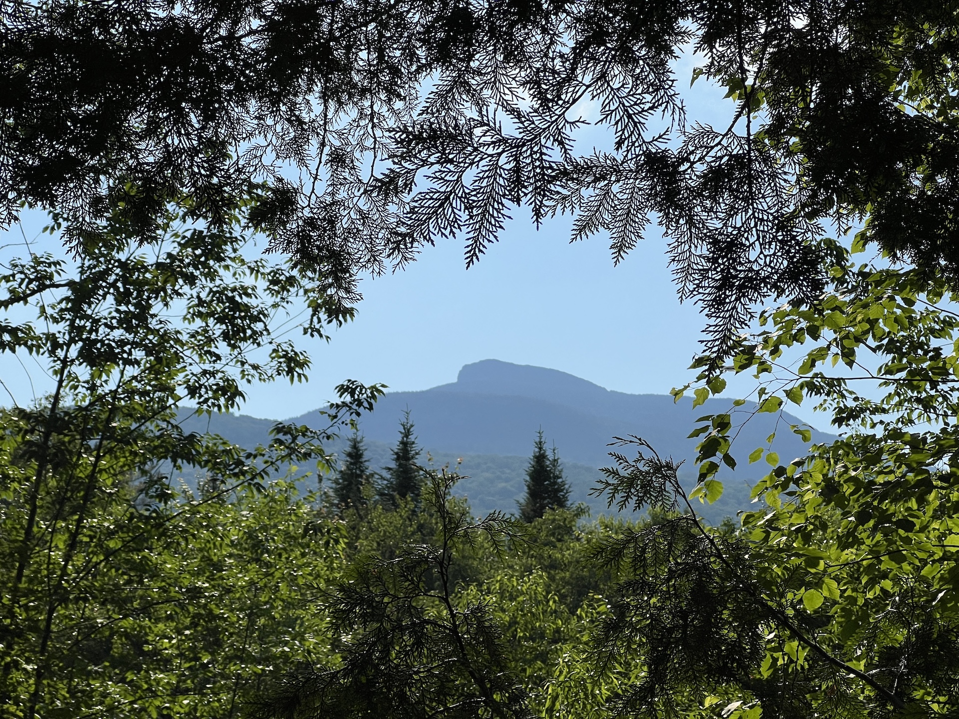
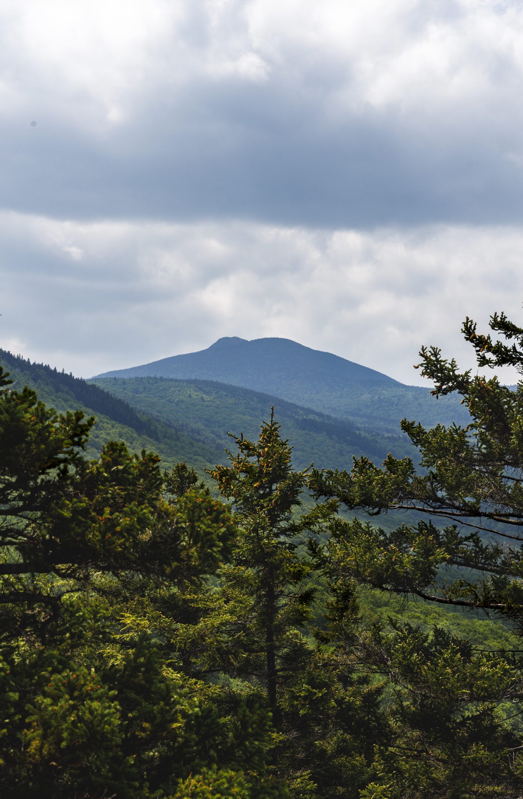
This lollipop-style loop trail features multiple gorgeous views of Camel’s Hump, which are especially good as the leaves begin to fall in autumn. The trail also features several benches, which offer nice rest spots.  

From the sign at the parking lot, head out on the main path. Soon you will come to a split where you can go clockwise or counterclockwise on the trail. Whichever direction you choose, be sure to stay on the wide, blue-blazed Camel’s Hump View Trail, as there is a cross-country ski trail which crosses it at one point.   

NOTE: This is a universally accessible trail. It includes elevation changes at more substantial grades than many paved rec paths and boardwalks. The trail surface is dirt and gravel and may not be passable by wheelchairs designed for smooth surfaces, especially once fallen leaves are on the path. 
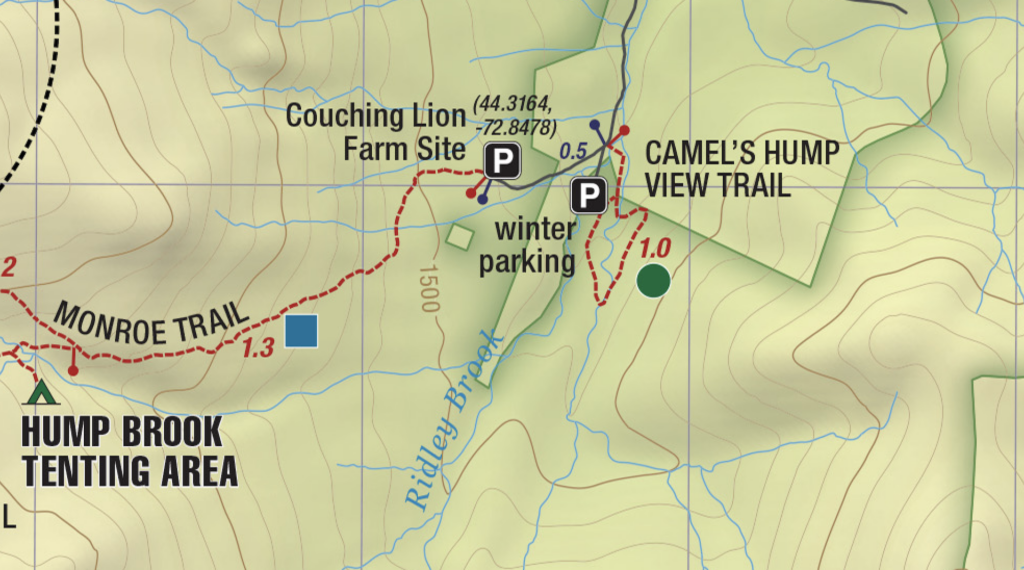

Trail Map

map showing camel's hump view trail

Getting There

From Richmond/I-89 Exit 11: Turn onto US-2 E and head east. At the Jonesville Post Office, turn right on Cochran Rd. Immediately cross the river and turn left on Duxbury Rd, also called River Rd. After 5.9 mi, you will come to a stop sign. Turn right on Camel’s Hump Rd. After about 3 mi you will see a “Welcome to Camel’s Hump State Park” sign.  

 From Waterbury/I-89 Exit 10: Turn onto VT 100 South from I-89. At the roundabout, turn onto US 2 East/VT 100 South. Turn right on Winooski St to cross the river, then turn right on River Rd, also called Duxbury Rd. In 3.9 mi, you’ll come to an intersection with an arrow pointing towards Camel’s Hump State Park. Turn left onto Camel’s Hump Rd. After about 3 mi you will see a “Welcome to Camel’s Hump State Park” sign.  

 Winter/Camel’s Hump View Trail Parking Lot is on the first road on the left after passing the “Welcome to Camel’s Hump State Park” sign. The road is marked with a “Winter Parking Lot” sign. 


wood grain texture

Long Trail Guide 29th Edition

wood grain texture
Mansfield_Map_5th_Ed

Get the Map!

Mount Mansfield and the Worcester Range

wood grain texture

Get the Map!

Camel’s Hump and the Monroe Skyline

wood grain texture
NEK2019map_web_large

Get the Map!

Northeast Kingdom Hiking Trail Map

wood grain texture
Killington2022_Map_Cover_low-res_002_large

Get the Map!

Killington Area Hiking Trail Map with Ascutney & Okemo

wood grain texture

Sign up for emails to get seasonal hiking advice