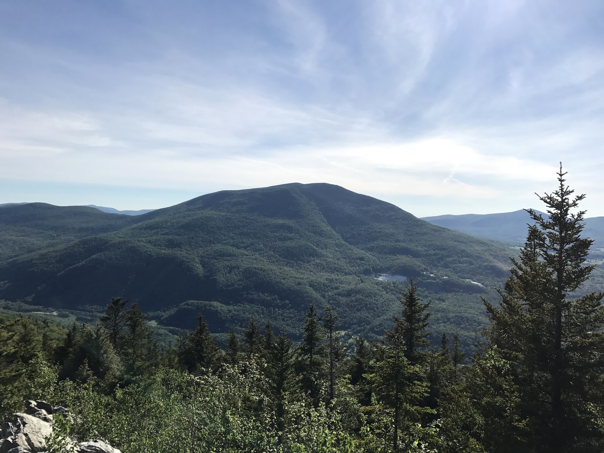
Baker Peak via Lake Trail and Baker Peak Trail 

Region Manchester Area, Southern Vermont
Length 6.8Miles
Difficulty Difficult
Elevation Gain

2614

Vertical Feet
Type

Loop

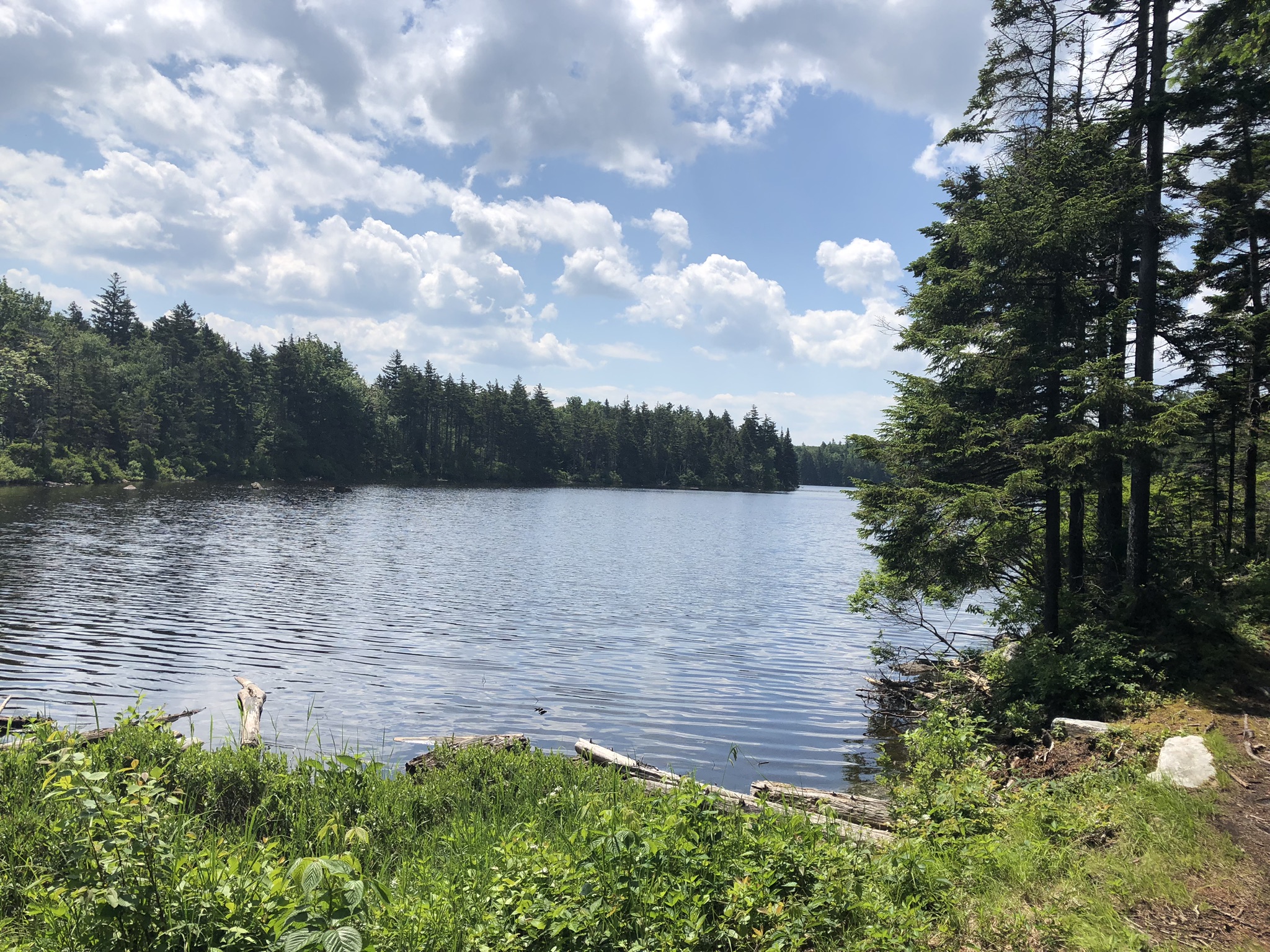
Good For Day Hiking, Pond or lake, Summits, Views

Description

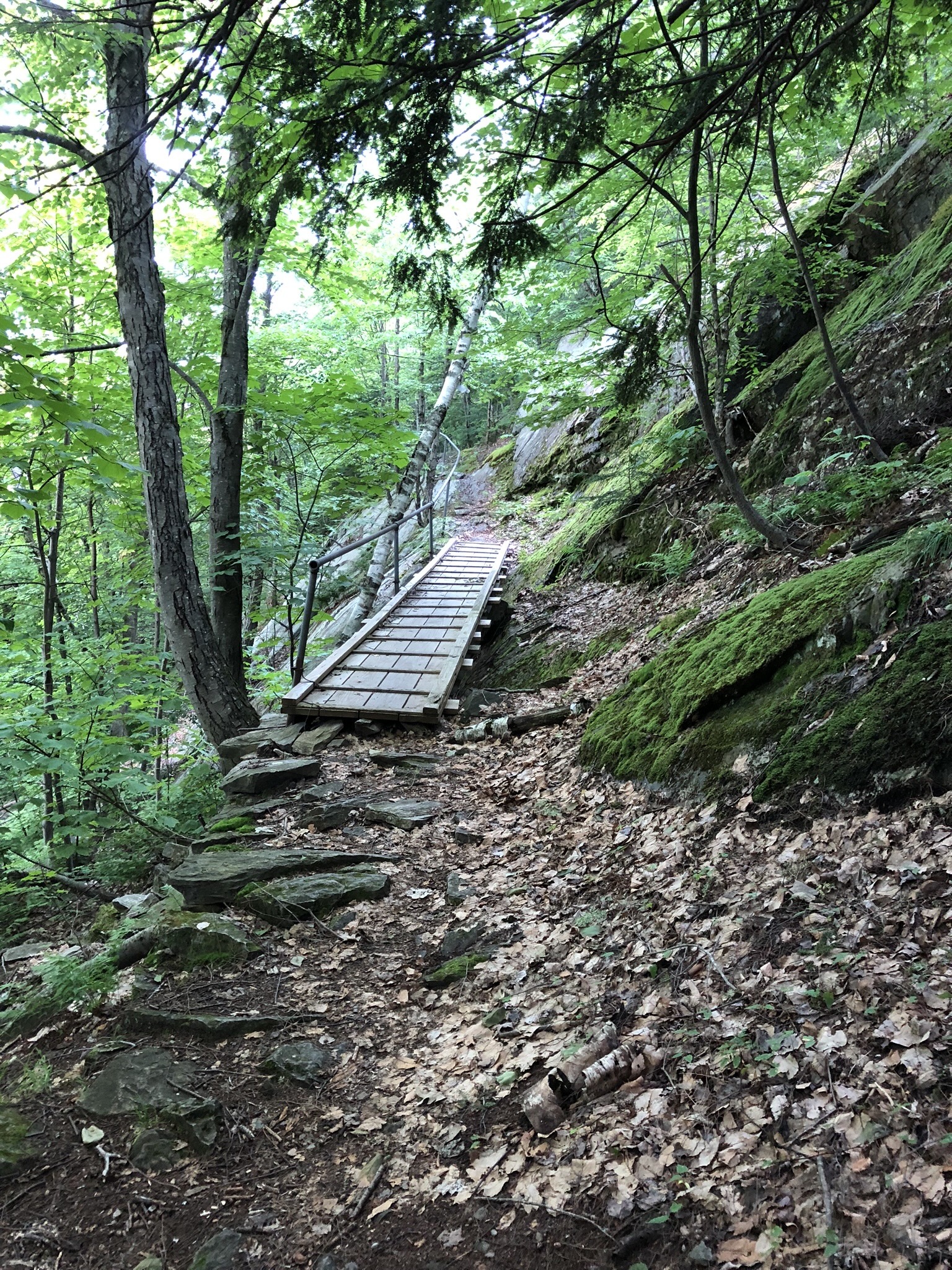
From the trailhead follow the Lake Trail with blue blazes for 1.9 mi. At the first intersection turn left off of Lake Trail onto Baker Peak Trail and continue for 0.9 mi (2.8 mi). At intersection with the Long Trail/Appalachian Trail turn left to head north and follow white blazes. There is a viewpoint just past the LT/AT intersection (2.9 mi.). Continue up Baker Peak for approximately 0.5 mi (3.4 mi). To return, follow the LT/AT South back to Baker Peak Trail to then continue on Lake Trail back to the trailhead (6.8 mi).  

For a “lollipop” loop hike option, do not turn on the Baker Peak Trail on return descent. Instead, continue on the LT/AT South 1.8 mi to its intersection with the Lake Trail. Turn right (west) on the Lake Trail and descend 3.3 mi to the trailhead. (8.5 mi total) If you want to see Griffith Lake, stay on the LT/AT South for another 0.1 mi instead of turning right on the Lake Trail. Once you’ve looked out on the lake, take the LT/AT North back to the Lake Trail intersection and turn left to begin your descent (8.7 mi total). 

Trail Map


Getting There

From Manchester: Head north on VT–7. 2.3 mi after passing Emerald Lake State Park, turn east (right) on South End Road (Forest Road 259). Follow FR 259 for about 0.5 mile. The Lake Trail trailhead parking area is on the left after a sharp right.

From Wallingford: Head south on VT–7. 2.7 mi after passing Mt. Tabor Country Store, turn east (left) on South End Road (Forest Road 259). Follow FR 259 for about 0.5 mile. The Lake Trail trailhead parking area is on the left after a sharp right.

Note that this trailhead is incorrectly labeled on Google Maps as the Griffith Lake Trail Head.


wood grain texture

Long Trail Guide 29th Edition

wood grain texture
Mansfield_Map_5th_Ed

Get the Map!

Mount Mansfield and the Worcester Range

wood grain texture

Get the Map!

Camel’s Hump and the Monroe Skyline

wood grain texture
NEK2019map_web_large

Get the Map!

Northeast Kingdom Hiking Trail Map

wood grain texture
Killington2022_Map_Cover_low-res_002_large

Get the Map!

Killington Area Hiking Trail Map with Ascutney & Okemo

wood grain texture

Sign up for emails to get seasonal hiking advice