
Section Hike: Jay Pass (Route 242) to Northern Terminus

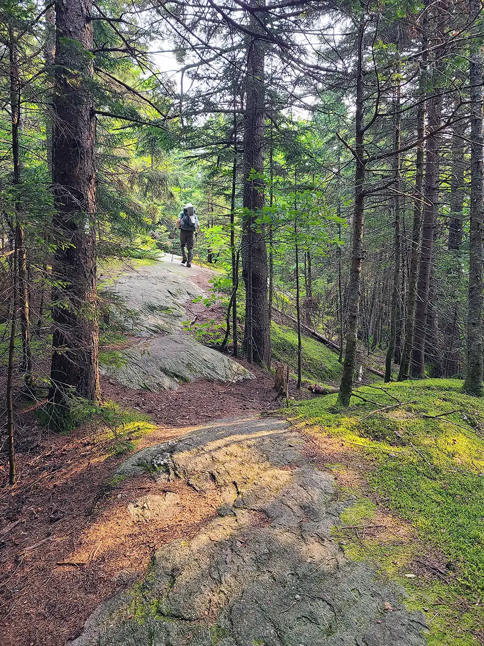
Between Shooting Star shelter and VT105_Hiking north to Jay Pass_Aug2025_Jackie McDaniel
Region Northern Vermont
Length 13.3Miles
Difficulty Difficult
Type

Overnight Itinerary

Good For Backpacking, Summits, Views

Description

Complete the Northern Terminus with a two-day, one-night hike from Jay Pass. For extra miles, this hike could also be done from Route 118, Hazen’s Notch.

  • Day 1: Jay Pass to Shooting Star Shelter, 7.6 miles
  • Day 2: Shooting Star to Northern Terminus, 4.4 miles; plus 1.3 mile hike out on Journey’s End Trail

Trail Map


Getting There

The LT crosses Route 242 at Jay Pass 5.1 mi. west of Jay Village and 6.4 mi. east of Montgomery Center. There is a large parking lot on the south side of the highway.


wood grain texture

Long Trail Guide 29th Edition

wood grain texture
Mansfield_Map_5th_Ed

Get the Map!

Mount Mansfield and the Worcester Range

wood grain texture

Get the Map!

Camel’s Hump and the Monroe Skyline

wood grain texture
NEK2019map_web_large

Get the Map!

Northeast Kingdom Hiking Trail Map

wood grain texture
Killington2022_Map_Cover_low-res_002_large

Get the Map!

Killington Area Hiking Trail Map with Ascutney & Okemo

wood grain texture

Sign up for emails to get seasonal hiking advice




