
Protect Vermont’s Trails During Spring Mud Season
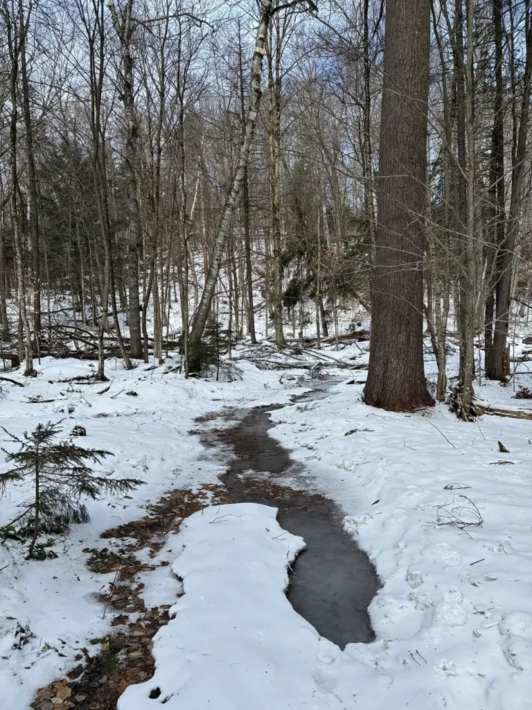
Mud Season, sometimes referred to as Vermont’s fifth season, is the period between winter and spring where snow melts and dirt roads and trails get incredibly muddy. Driving, hiking, or biking on saturated surfaces can cause a lot of damage and increase erosion, so hikers in Vermont stay off high-elevation hiking trails until they dry out, typically by Memorial Day. Mud Season starts on a different date every year, but it is typically in the second half of March or early April, and runs through late May. Learn more about Mud Season, and how you can be a responsibly hiker this time of year.
Why is Vermont so Muddy?
Some hikers call Vermont “Vermud.” It’s that serious. With impacts from climate change, and more severe rainstorms, mud season-like conditions are now possible in any month of the year.
- Vermont’s rocky soils have a higher percentage of clay minerals than surrounding states. Clay minerals absorb water and have very low permeability, preventing drainage.
- Soil still frozen from winter does not allow snowmelt and spring rains to percolate deeper, creating the saturated, messy top layer known as mud. High snow and cold winters like this one often result in longer, later mud seasons and a muddier hiking season overall.
- Soils at high elevations in Vermont are shallow and often on top of impermeable bedrock.
- Last but not least, much of the Long Trail System was built over a century ago, without the impacts of climate change and a fraction of the hikers we see today. Those trails were built either too steep or too flat, traveling through susceptible soils with poor drainage.
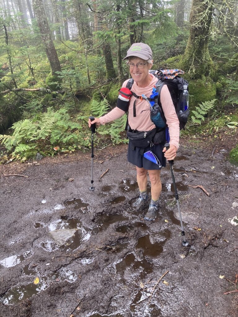
When lots of people hike on muddy trails, it compacts the soil, reducing its ability to absorb water. This causes more erosion on the trail. Hikers also tend to walk around mud puddles, which widens the trail and tramples trailside vegetation.
Hiking During Mud Season
Because hiking on muddy, saturated trails causes lasting damage to both the tread and the surrounding vegetation, we ask all hikers to do their part to stay off muddy trails during spring mud season — and any time conditions are causing excessive mud. But that doesn’t mean you can’t hike at all! High-elevation trails are the most vulnerable, because the soils are thin and the vegetation can be fragile and rare.
Follow all posted trail closures, found on TrailFinder. GMC works with the Vermont Department of Forests, Parks, and Recreation to issue closures on a weekly basis based on the pace of snowmelt and current conditions.
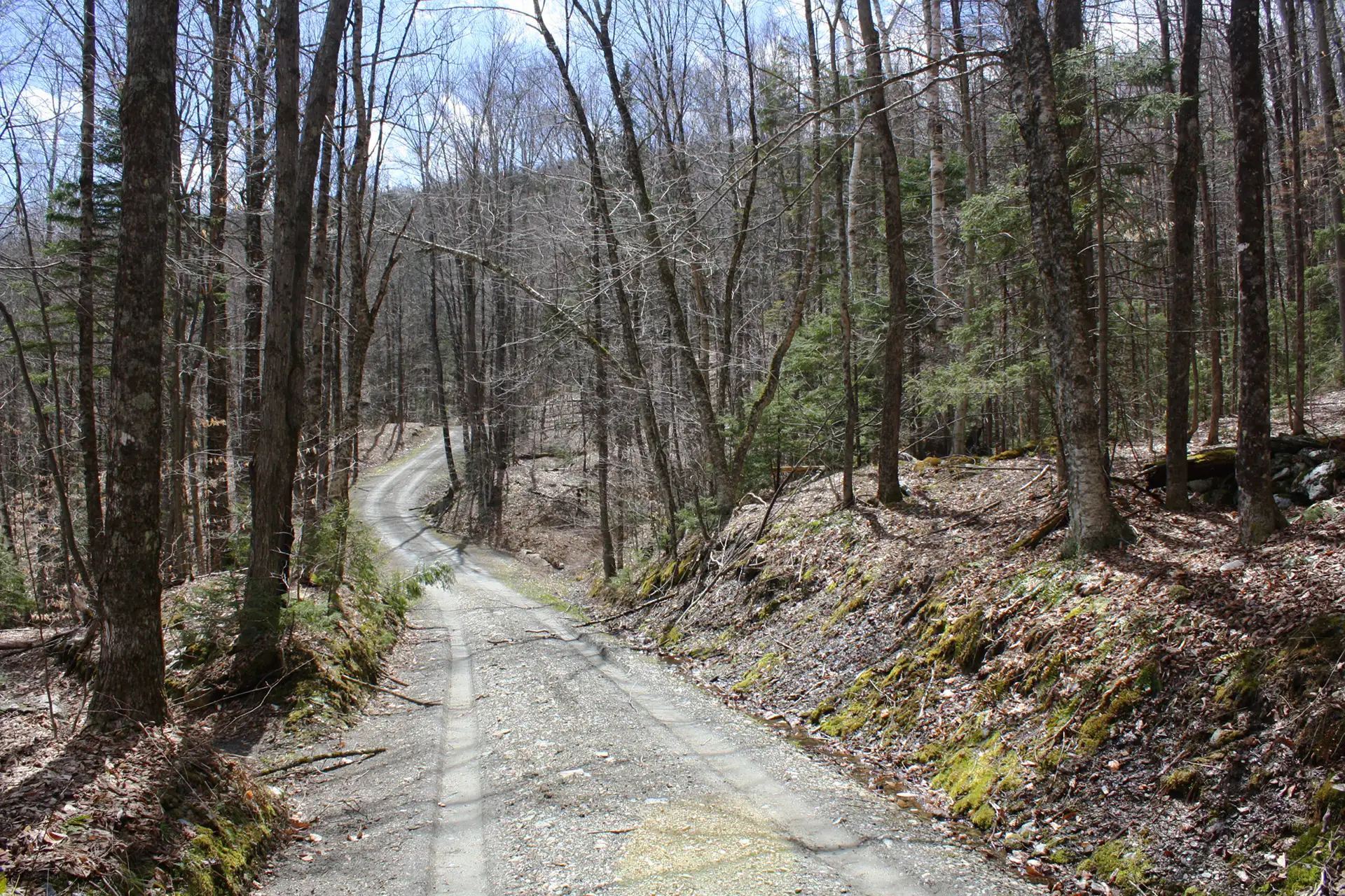
Seek out low-elevation, durable surfaces. Dirt roads, rail trails, gravel trails, and mountain roads are all great alternatives. Use the “mud season” filter when searching trails in GMC’s Hike Library.
Where Can I Hike?
Here are some of our favorites for this time of year:
1.8 mi round trip, approx. 26 ft elevation gain
This easy and accessible trail leads to a grassy knoll that provides sweeping views of the Northeast Kingdom. Along the way, the trail passes by Sentinel Rock, a large glacial erratic that dates to 13,000 years ago. More info.
5 miles, 2,036 ft. Elevation gain
The trail follows a service road from the Mad River Glen Single Chair loading station. When you reach the Long Trail, head north for a short distance to reach the Stark’s Nest warming hut for some amazing views.
4.8 mi RT
This section of the LT gradually winds from Route 11/30 to the summit of Spruce Peak with a view of the Taconic Range. Continue south on the LT for another 0.4 mile and have lunch at Spruce Peak Shelter. Return the way you came.
There is both a trail and an auto toll road to the summit of this short mountain, which provides spectacular views of Lake Champlain and the Adirondacks. Great for all abilities.
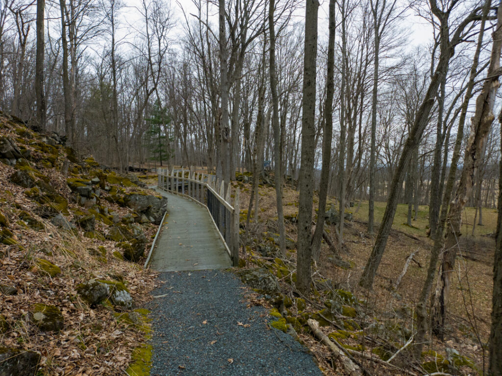
This 1.6-mile crushed gravel accessible trail winds through the southern part of Mount Independence, features several short spur trails, and has 15 interpretive stops along the way detailing the site’s historical significance before and during the Revolutionary War.
3.4 miles
This low elevation (under 2,500 feet) network offers satisfying views of nearby Stratton Mountain. Paul’s Ledges is in a large clearing with a picnic table, so it’s a perfect place for lunch or a snack after the hike up.
Weather Conditions
Weather can change quickly year-round, but especially in shoulder season. When it’s warm, sunny, and springy in town, it might still be snowy, icy, and cold in the mountains. Do your research ahead of time to stay safe!

More For Hiking Safe + Smart During Mud Season
Questions About Where to Go in Mud Season?
Contact our Visitor Center Hike Planning Experts for more information on trip planning and safety considerations during mud season (spring shoulder season).