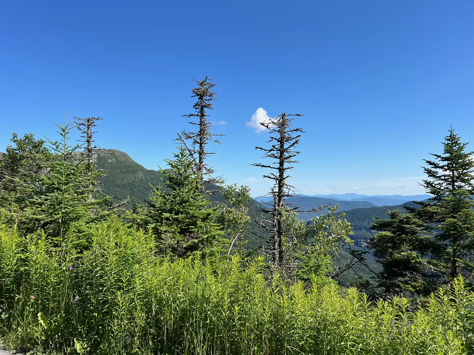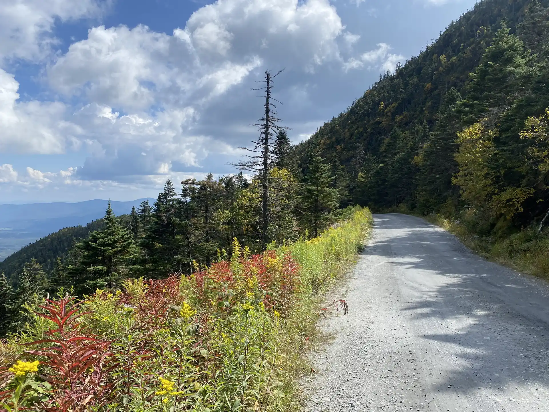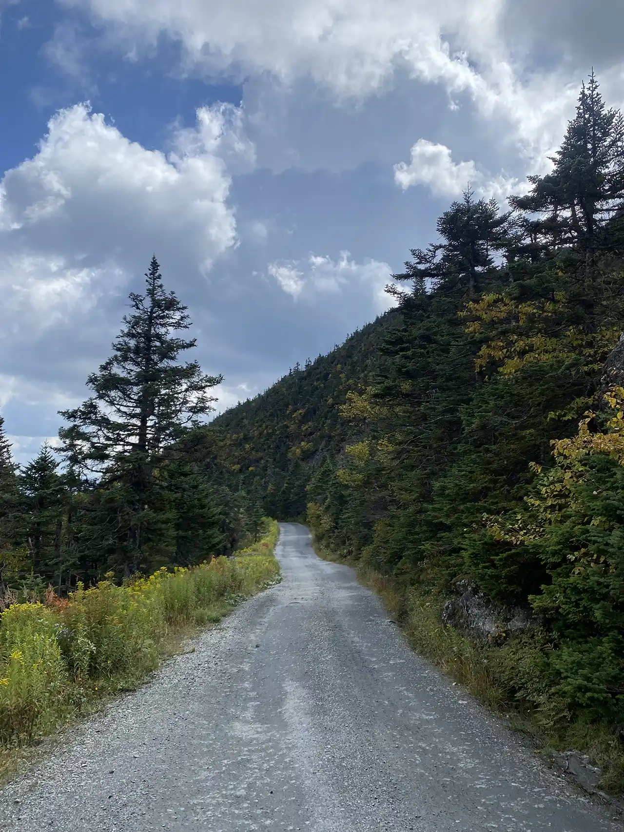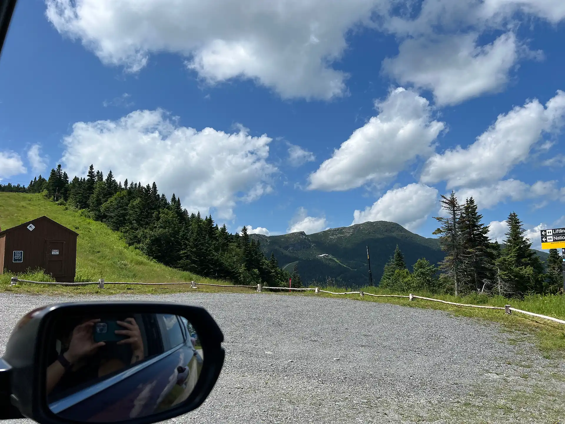
The Stowe Auto Toll Road ascends from the Toll House on Route 108. The 150-year-old Toll Road zigs and zags 4.5 miles on an unpaved road up to the Mount Mansfield Summit Station Visitor Center at 3,850’. A drive up the toll road is paid, and all proceeds go to Stowe Mountain Resort. For prices and hours, click here.
From the parking lot, you can explore the Visitor Center’s interpretive displays and hike along the Mansfield Ridgeline (Long Trail) to additional viewpoints, including the mountain’s highest point, the Chin. For mobility-impaired visitors, the drive to the top of the Toll Road and a visit to the visitor center is a wonderful way to experience Vermont’s tallest mountain.
From the Summit Station, the Chin is an additional 1.4 mile hike north with an elevation gain of 546’. The footing can be difficult in places, and the hike is rated moderate overall.
There are numerous side trails extending off the Long Trail on the ridge. These trails can range in difficulty from easy (Amherst Trail) to very strenuous (Cliff Trail, Canyon, and Canyon North Trails). The Green Mountain Club caretakers and volunteers at the Summit Station are a valuable resource in sharing appropriate hike recommendations. All trails on the Mansfield ridgeline require appropriate footwear.
Overnight parking is not permitted at the top or along the toll road.
*Note: During mud season, after Stowe Mountain Resort operations have closed for the season, hiking is permitted on the Toll Road. Check the Toll Road website or contact GMC for information.