Jerusalem Trail to Orvis Lookout

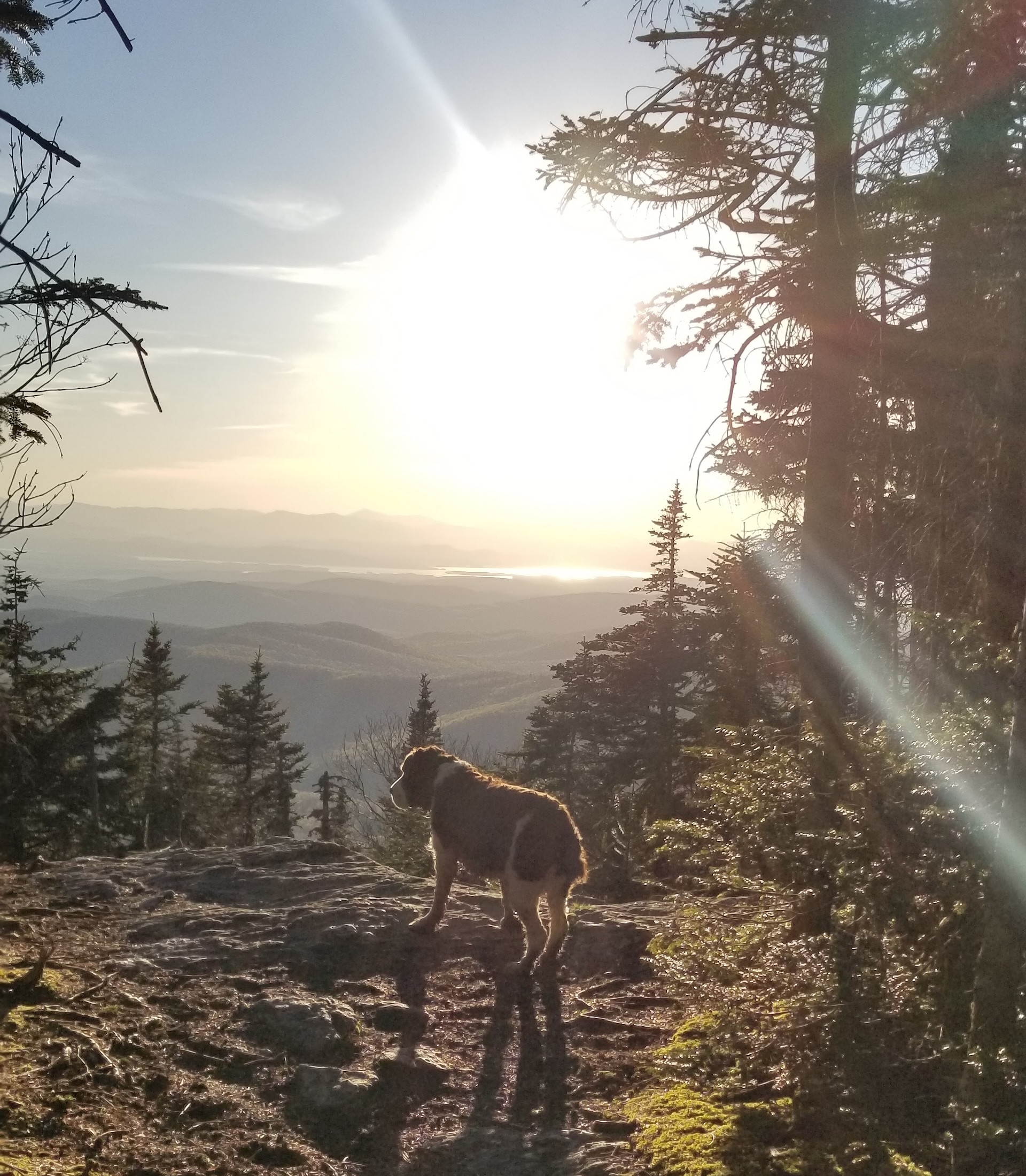
View from Orvis Lookout at the top of Jerusalem Trail (with a dog in foreground)
Region Camel’s Hump, Central Vermont
Length 4.9Miles
Difficulty Moderate
Elevation Gain

1800

Vertical Feet
Type

Out-and-Back

Good For Day Hiking, Views

Description

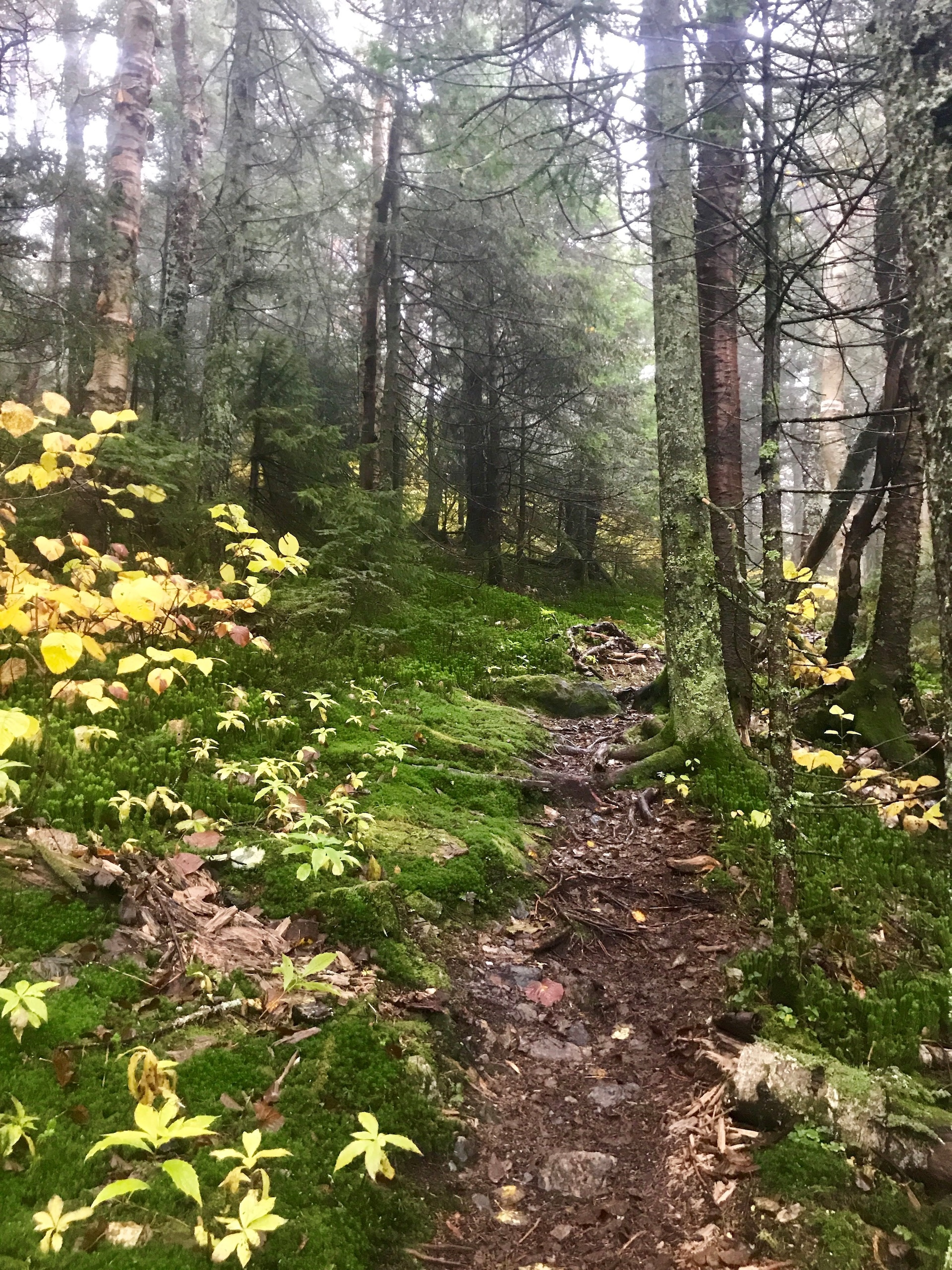
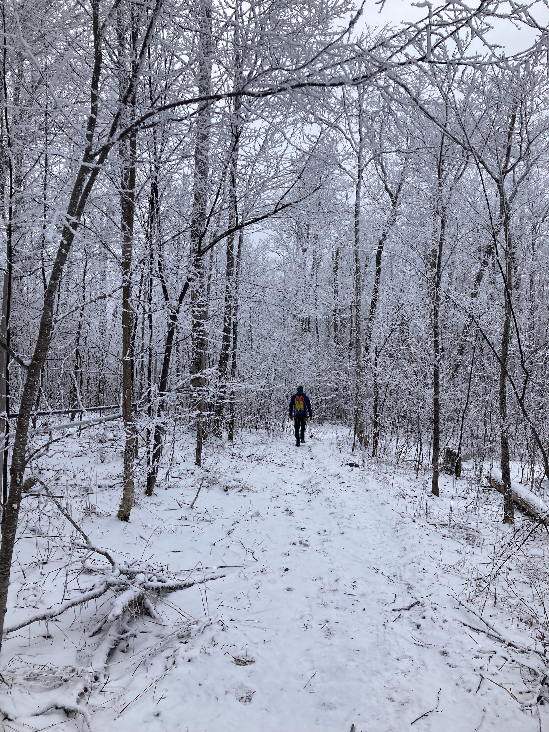
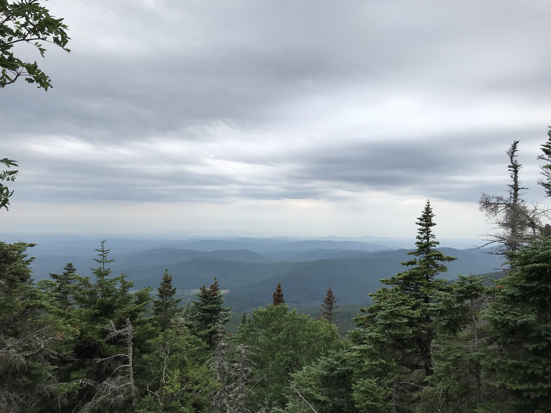
From the Jerusalem trailhead, ascend the Jerusalem Trail 2.4 miles to the intersection with the Long Trail. Note that this trail passes through an active sugarbush for the first portion, crossing ATV trails and past maple tubes/lines. Be sure to stay on the blue-blazed trail. At intersection with the Long Trail take a left on the white-blazed LT North. Follow it a short distance to Orvis Lookout, which features westerly views of Lake Champlain (2.5 mi). To return follow the Long Trail back to meet up with Jerusalem Trail for another 2.4 mi (4.9 mi). 

You can extend this hike to summit Mt. Ellen, one of Vermont’s 5 peaks above 4,000 feet. From the intersection of the Jerusalem Trail and the Long Trail, head south on the Long Trail for another 1.8 miles. Reach the wooded summit of Mt. Ellen (4.2 mi.). Mount Ellen is viewless, but there are great views from the top of the Sugarbush Ski Area just before the summit! Return the way you came for an 8.4-mile round trip hike (2,483 ft. elev. gain). 

Trail Map


Getting There

From Lincoln: From the center of town, head north on Quaker St. Follow Quaker St. until it ends at VT-17, then turn right. Follow VT-17 W and turn right on Jerusalem Rd just after the Jerusalem Country Store. Immediately turn left to stay on Jerusalem Rd. In 0.7 mi, turn left on Jim Dwire Rd. Dirt parking area will be on your right in 0.5 mi.  

From Waitsfield: Head west on VT-17 and follow it through Appalachian Gap. 6 mi after height of App Gap, turn left on Jerusalem Rd (just before Jerusalem Country Store). Immediately turn left to stay on Jerusalem Rd. In 0.7 mi, turn left on Jim Dwire Rd. Dirt parking area will be on your right in 0.5 mi. 


wood grain texture

Long Trail Guide 29th Edition

wood grain texture
Mansfield_Map_5th_Ed

Get the Map!

Mount Mansfield and the Worcester Range

wood grain texture

Get the Map!

Camel’s Hump and the Monroe Skyline

wood grain texture
NEK2019map_web_large

Get the Map!

Northeast Kingdom Hiking Trail Map

wood grain texture
Killington2022_Map_Cover_low-res_002_large

Get the Map!

Killington Area Hiking Trail Map with Ascutney & Okemo

wood grain texture

Sign up for emails to get seasonal hiking advice