
Section Hike: Camel’s Hump to Route 108

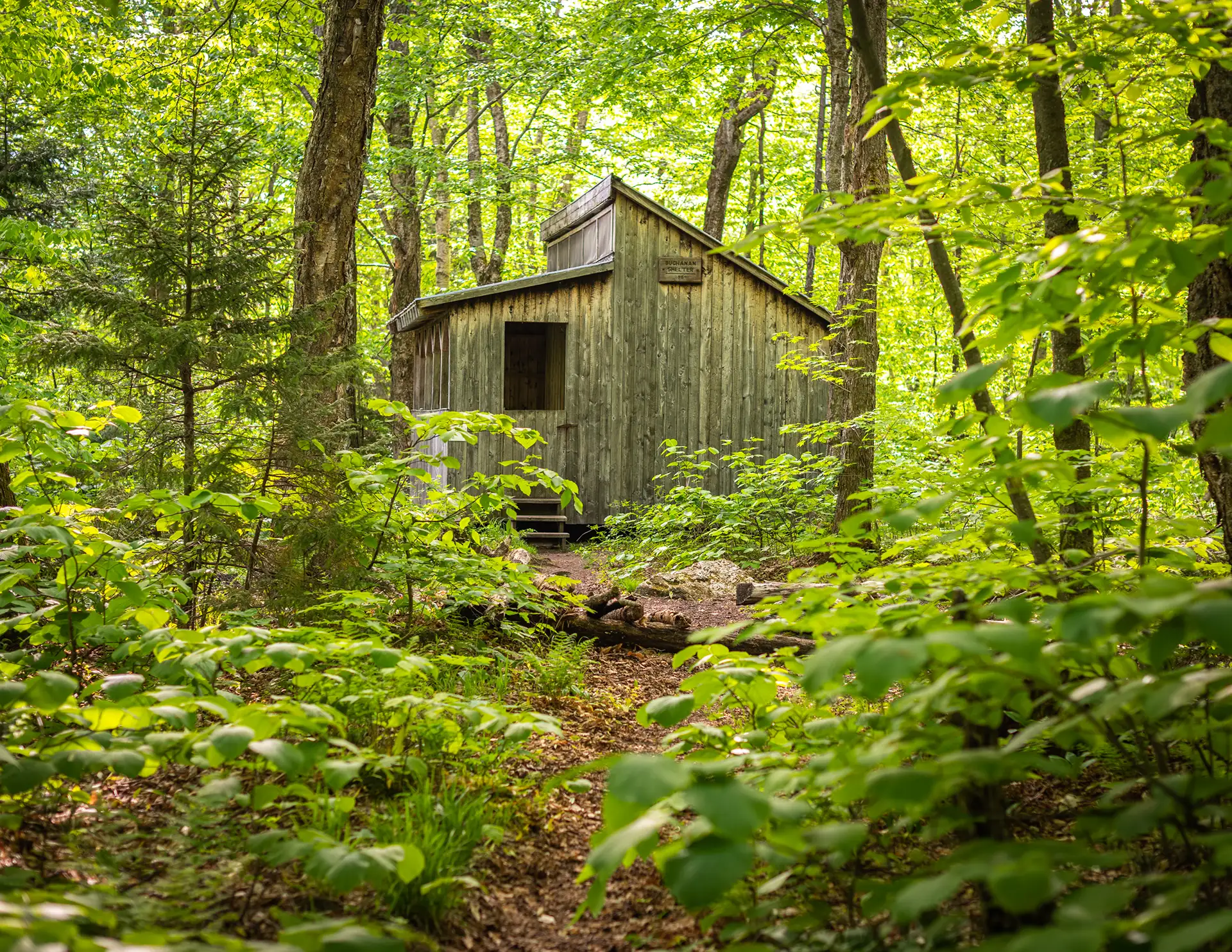
Buchanan Shelter_07-18-2017_Nathanael Asaro
Region Camel’s Hump, Mount Mansfield, Northern Vermont
Length 35Miles
Difficulty Difficult
Elevation Gain

10000

Vertical Feet
Type

Overnight Itinerary

Good For 4,000 Footers, Backpacking, Summits, Views

Description

This challenging, 35-mile itinerary traverses some of the most iconic summits of the Long Trail, Camel’s Hump and Mount Mansfield, and crosses the Winooski River Valley. With 10,000 feet of elevation gain, it offers amazing 360-degree views of the Long Trail, the White Mountains in New Hampshire, Lake Champlain, and the Adirondacks in New York. Below is one option.

  • Day 1: Forest City Trail to Montclair Glen Lodge, 1.4 miles. (Can combine with Day Two for a four-day trip)
  • Alternate Day 1: Monroe Trail to Hump Brook Tenting Area, 1.3 miles. (Can combine with Day Two for a four-day trip)
  • Day 2: Montclair Glen Lodge to Bamforth Ridge Shelter, 6 miles; summit Camel’s Hump
  • Day 3: Bamforth Ridge Shelter to Buchanan Shelter, 12 miles; cross Winooski River
  • Day 4: Buchanan Shelter to Butler Lodge, 11 miles
  • Day 5: Butler Lodge to Route 108, 6 miles; summit Mansfield

Trail Map


Getting There

Eastern approach via Waterbury’s Winooski Street bridge: From the junction of U.S. 2 and Vt. 100 (0.0 mi.) just off I-89’s exit 10, drive south on Vt. 100 and pass under a railroad trestle. Turn right on Winooski Street (0.1 mi.) and cross the Winooski Street bridge (0.4 mi.). Turn right onto River Road and proceed west to Camel’s Hump Road (5.0 mi.). Turn left (south) and ascend, passing several side roads off the Hump Road; be sure to stay on the main road. At 6.4 mi. bear left at a fork and cross the bridge. A side road to the left leads to the Camel’s Hump View Trail and an overflow parking area. Continue straight ahead to climb over rough road to two parking areas (8.7 mi.). The Monroe Trail begins at the far end of the upper parking lot.


wood grain texture

Long Trail Guide 29th Edition

wood grain texture
Mansfield_Map_5th_Ed

Get the Map!

Mount Mansfield and the Worcester Range

wood grain texture

Get the Map!

Camel’s Hump and the Monroe Skyline

wood grain texture
NEK2019map_web_large

Get the Map!

Northeast Kingdom Hiking Trail Map

wood grain texture
Killington2022_Map_Cover_low-res_002_large

Get the Map!

Killington Area Hiking Trail Map with Ascutney & Okemo

wood grain texture

Sign up for emails to get seasonal hiking advice




