
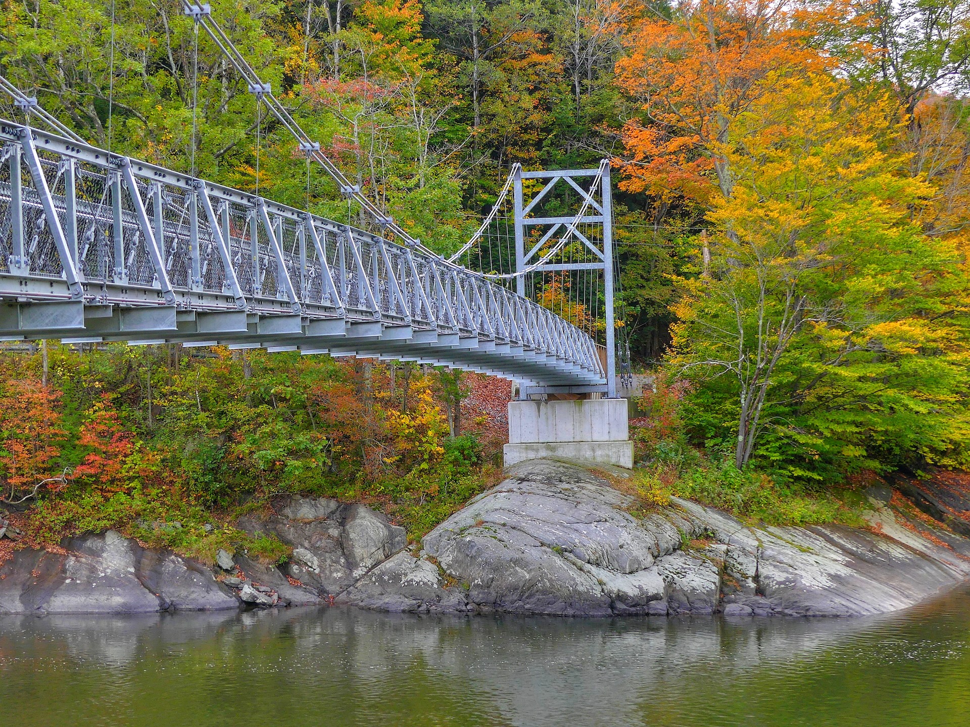
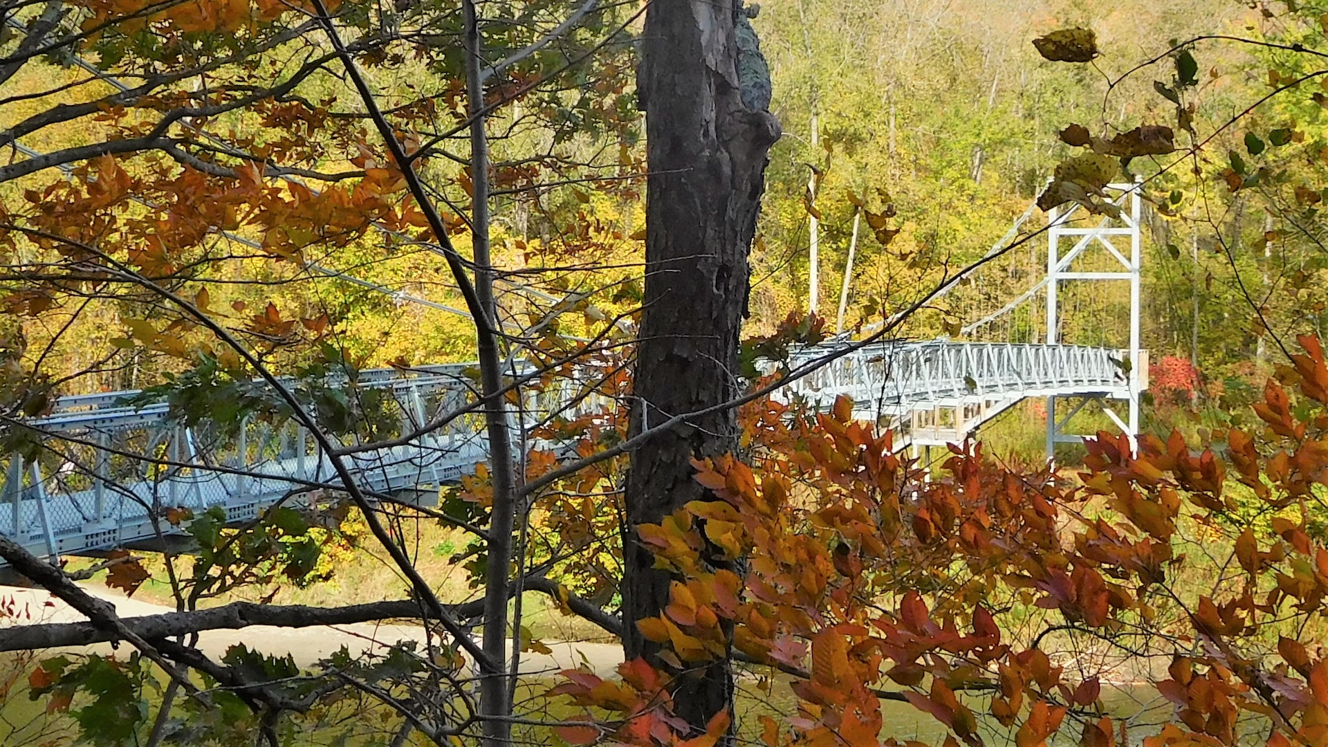
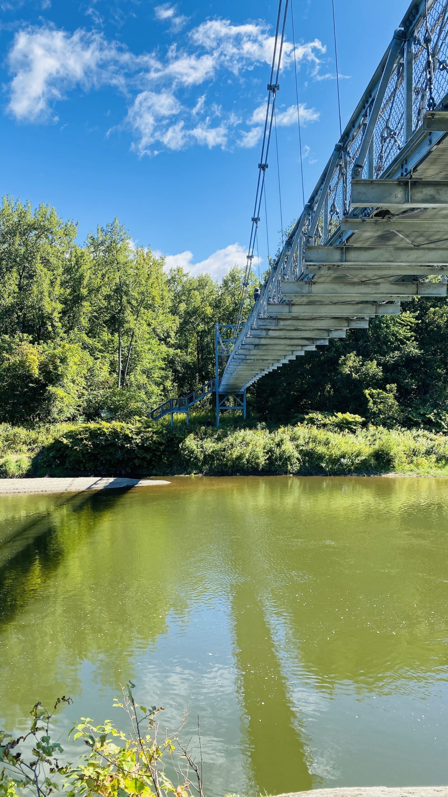
This 224-foot Long Trail suspension bridge, built and maintained by the Green Mountain Club, is accessible from Duxbury Road on the south side of the Winooski River. The bridge is wheelchair accessible from the south side, on Duxbury Road, but there is no parking permitted here. Park about 1.0 mi east on Honey Hollow Road and carefully follow the road back to the bridge (1.0 mi). The bridge is wheelchair accessible and you can enjoy looking at the mountains from the footbridge and enjoying the river running below you. (Wheelchair users may wish to be dropped off at the entrance to the bridge).
Winooski Footbridge
Description
Trail Map
Photo Gallery
Getting There
Weather Conditions
Weather in Vermont can vary widely, especially in the mountains. Exposure to heat, humidity, rain, wind, snow, cold, and/or thunderstorms can all pose a risk to the hiker. Be sure to get up-to-date weather conditions before starting your hike.


Long Trail Guide 29th Edition

Get the Map!
Mount Mansfield and the Worcester Range

Get the Map!
Camel’s Hump and the Monroe Skyline

Get the Map!
Northeast Kingdom Hiking Trail Map

Get the Map!
Killington Area Hiking Trail Map with Ascutney & Okemo