
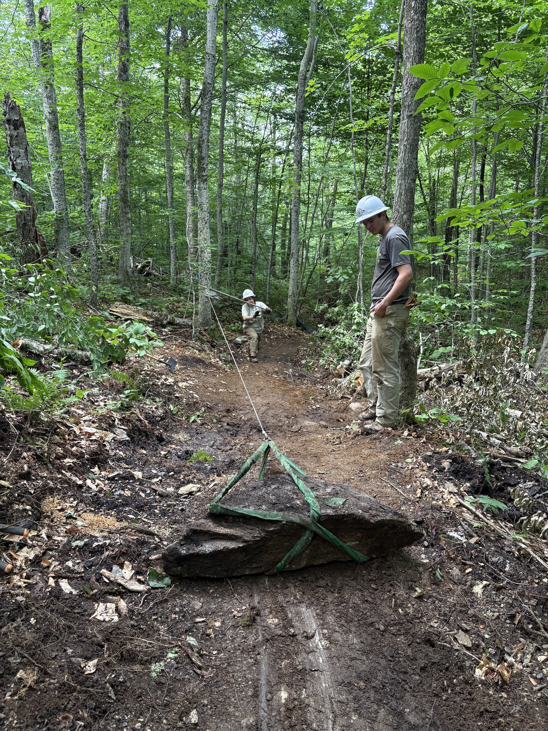
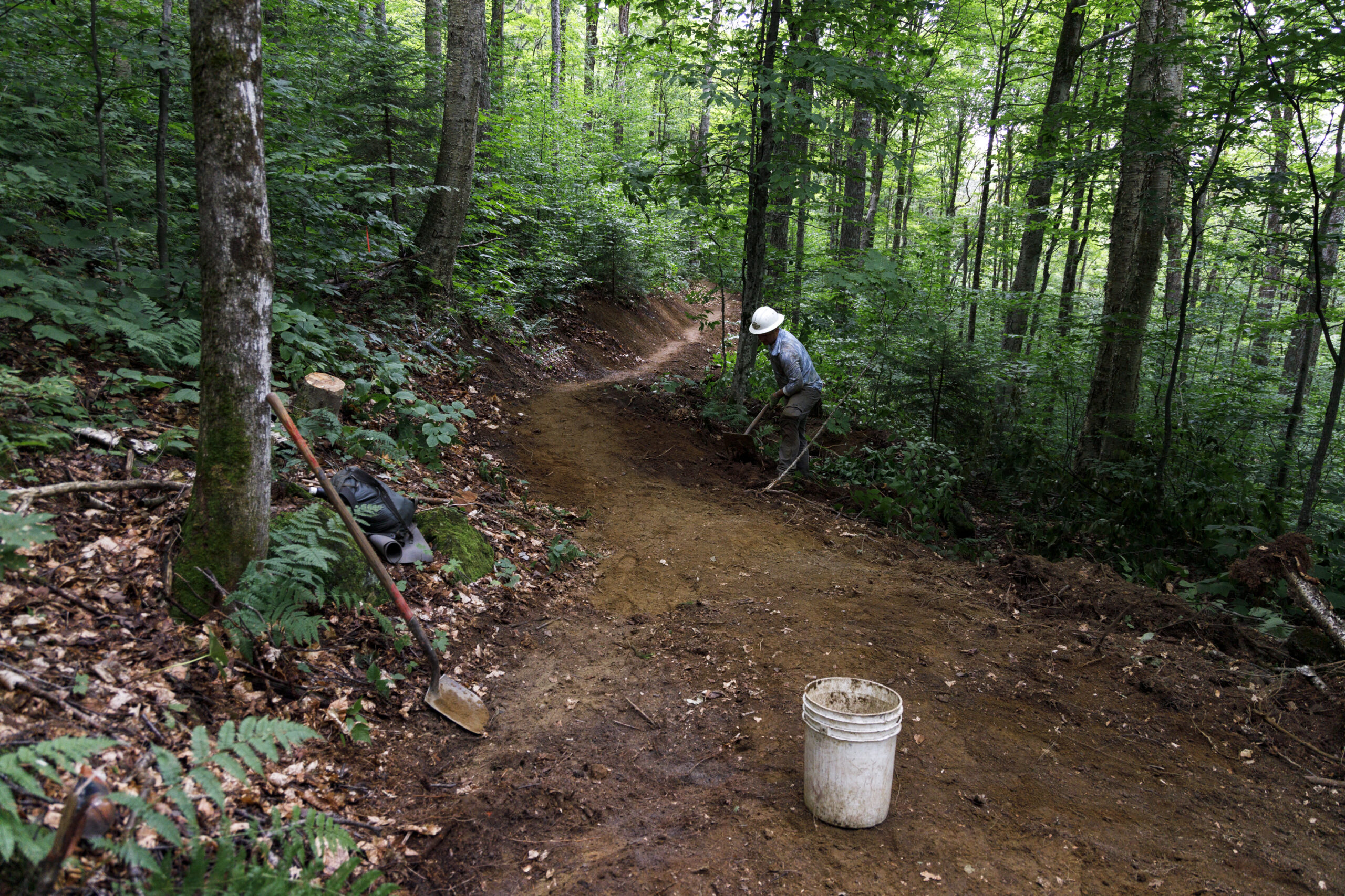
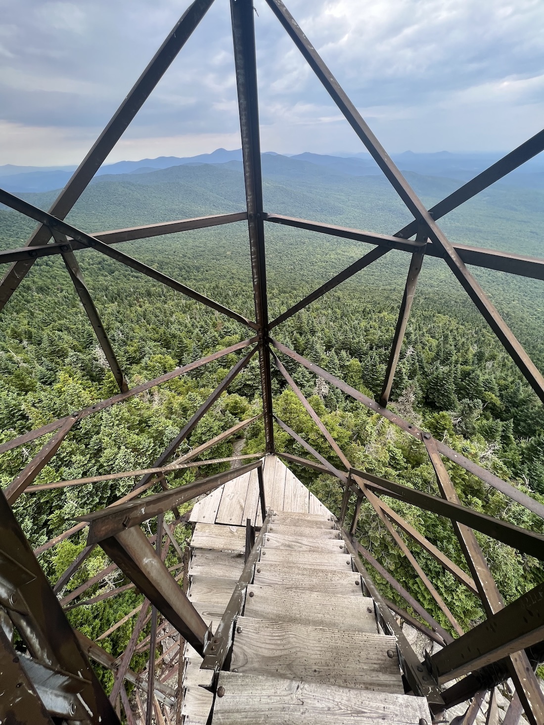
From the parking lot on Route 118, hike north on the LT. After about 0.2 mi, the trail bears west as you begin hiking over new tread (GMC crews relocated nearly one mile of Long Trail to follow a more sustainable grade on public land in 2025 and 2026). The new trail, built with a combination of a mini-excavator and hand tools, gently switchbacks 0.9 mi through the hardwood forest. At 1.0 mi, return to the original route of the LT and climb steeply over some rocky ledges to Belvidere Saddle (2.8 mi.) and a junction with the Forester’s Trail. Bear right on the Forester’s Trail to reach the Belvidere Summit and 70-foot fire tower, which offers sweeping views (3.0 mi.).
Belvidere Mountain via Long Trail
Description
Trail Map
Photo Gallery
Getting There
Weather Conditions
Weather in Vermont can vary widely, especially in the mountains. Exposure to heat, humidity, rain, wind, snow, cold, and/or thunderstorms can all pose a risk to the hiker. Be sure to get up-to-date weather conditions before starting your hike.


Long Trail Guide 29th Edition

Get the Map!
Mount Mansfield and the Worcester Range

Get the Map!
Camel’s Hump and the Monroe Skyline

Get the Map!
Northeast Kingdom Hiking Trail Map

Get the Map!
Killington Area Hiking Trail Map with Ascutney & Okemo