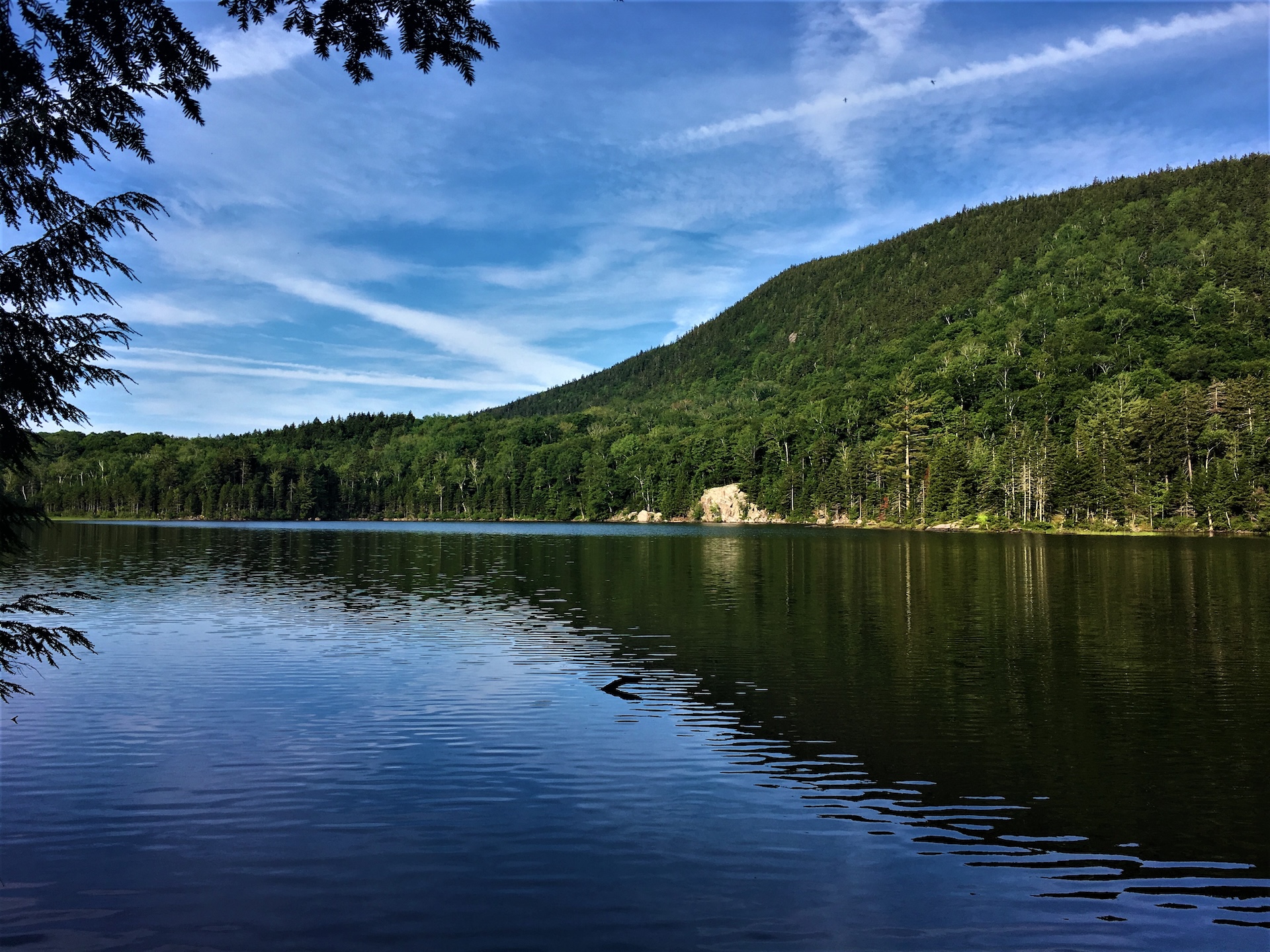
Little Rock Pond

view of little rock pond
Region Manchester Area, Southern Vermont
Length 4.4Miles
Difficulty Easy
Elevation Gain

320

Vertical Feet
Type

Out-and-Back

Good For Backpacking, Day Hiking, Families, Foliage, Pond or lake, Views

Description

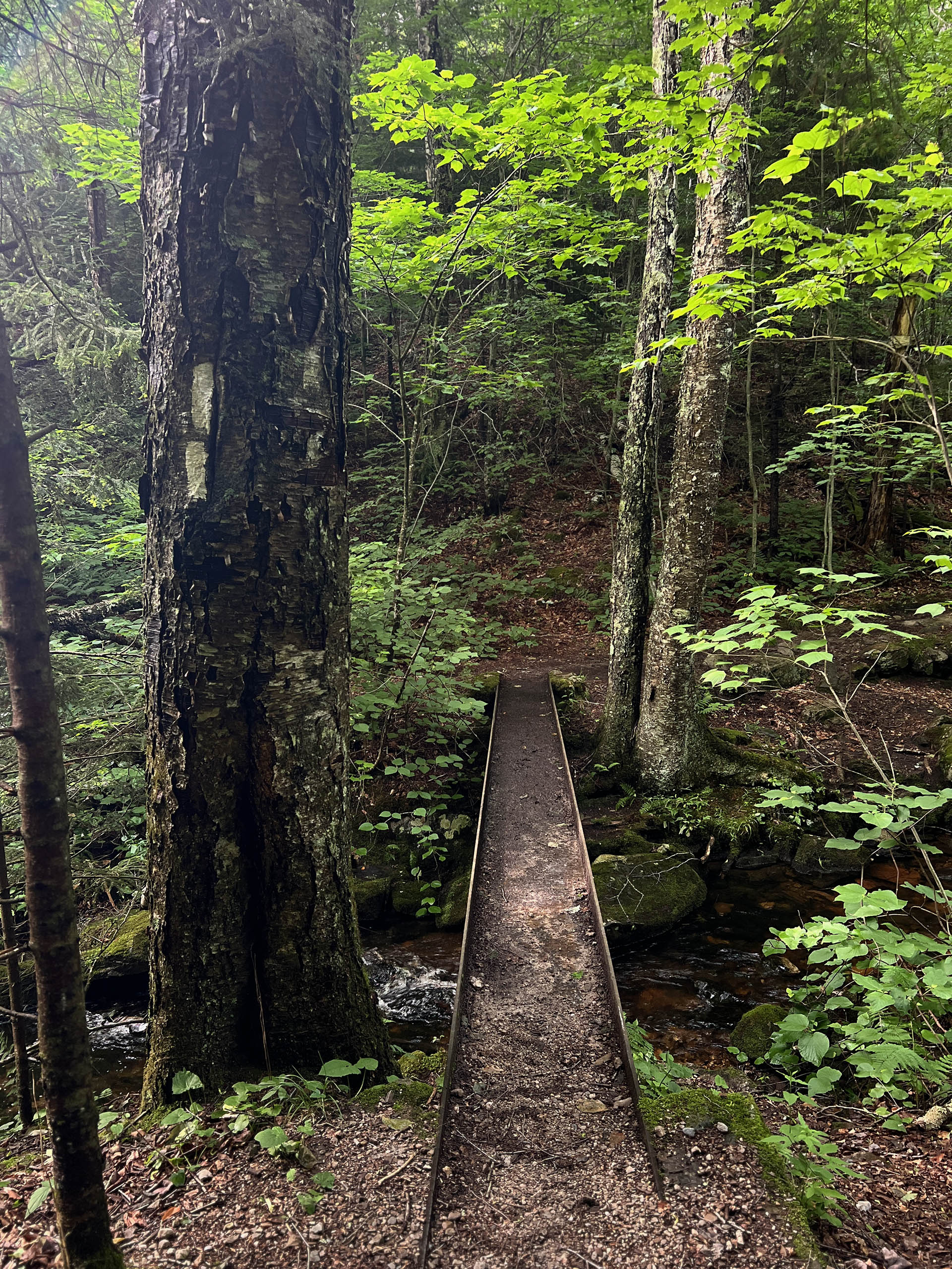
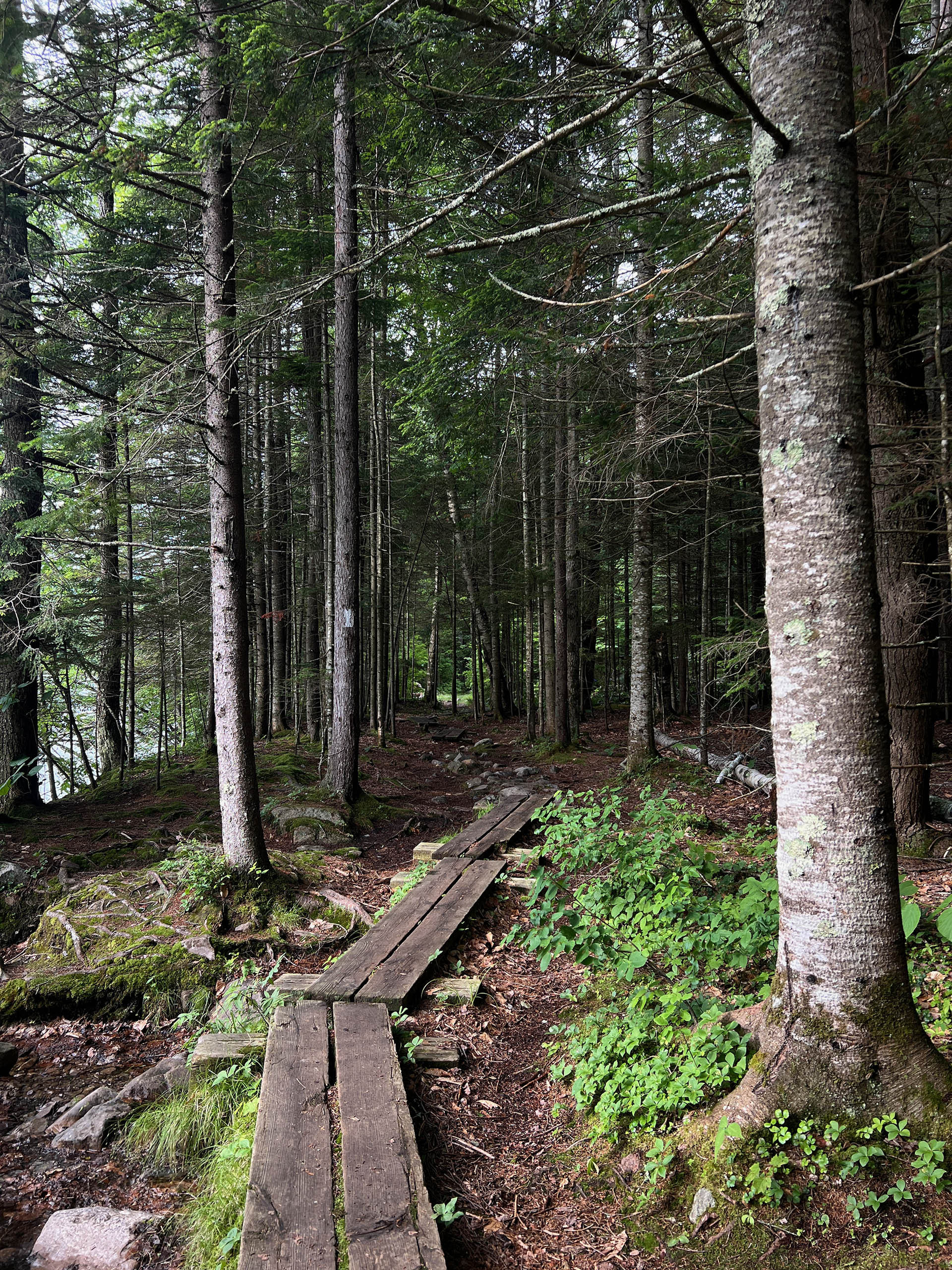
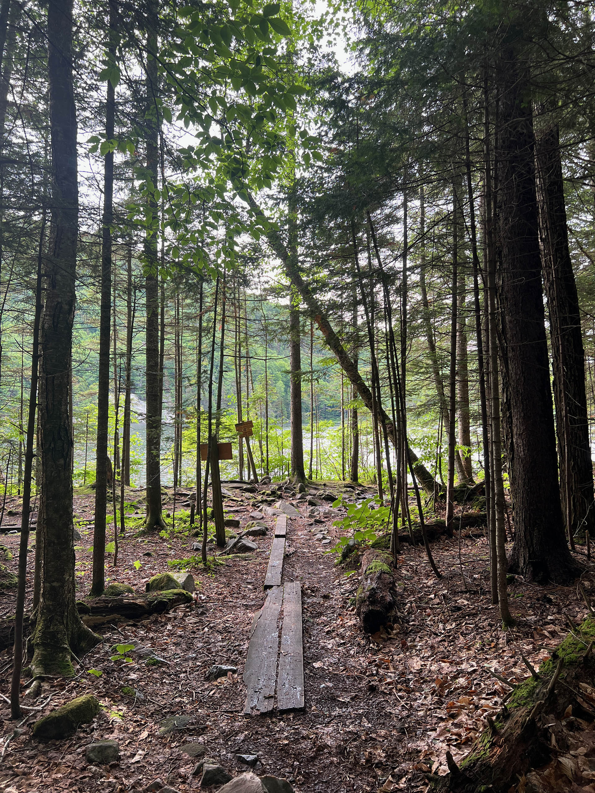
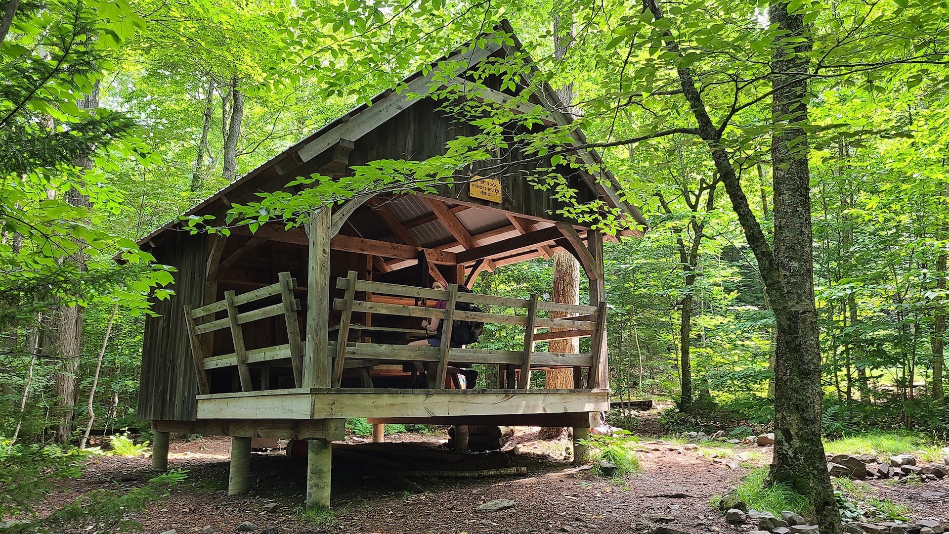
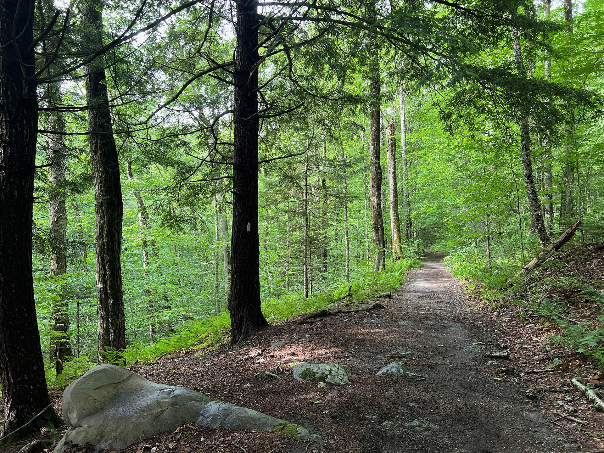
From the Long Trail parking lot on USFS 10, cross the road and head north on the white-blazed Long Trail/Appalachian Trail. The trail follows the length of Little Black Branch Brook, crossing the stream several times as it gradually climbs for 2.2 mi. until reaching the shore of Little Rock Pond and Little Rock Pond Shelter. To return follow the LT/AT south for 2.2 mi until reaching trailhead (4.4 mi).  

For a longer loop around the pond continue past the shelter on the LT/AT North for 0.3 mi (2.5 mi). At the intersection with Homer Stone Brook Trail/Little Rock Pond Tenting Area take a left, heading west. Continue around the pond for 0.4 mi. until meeting back up again with the shelter (2.9 mi). To return follow the LT/AT south for 2.2 mi until reaching the trailhead (5.1 mi).  

Trail Map


Getting There

From Wallingford/Rutland: Head south on US-7 S. As you enter the small village of Mt. Tabor, turn right on Brooklyn Rd just after passing the Mt. Tabor Country store. Continue on Brooklyn Rd it as it winds uphill, passing a sign announcing you are entering the Green Mountain National Forest. At this point, the road becomes seasonal USFS 10. Pass the Big Branch Lookout parking lot on your right, then park in the large Long Trail Parking Lot. It is marked with signs and a kiosk.

From Manchester/East Dorset: Head north on US-7 N. As you enter the small village of Mt. Tabor, turn right on Brooklyn Rd. See above.

Note that US Forest Service Rd 10 is closed in the winter. See the Green Mountain National Forest website for more details.


wood grain texture

Long Trail Guide 29th Edition

wood grain texture
Mansfield_Map_5th_Ed

Get the Map!

Mount Mansfield and the Worcester Range

wood grain texture

Get the Map!

Camel’s Hump and the Monroe Skyline

wood grain texture
NEK2019map_web_large

Get the Map!

Northeast Kingdom Hiking Trail Map

wood grain texture
Killington2022_Map_Cover_low-res_002_large

Get the Map!

Killington Area Hiking Trail Map with Ascutney & Okemo

wood grain texture

Sign up for emails to get seasonal hiking advice