
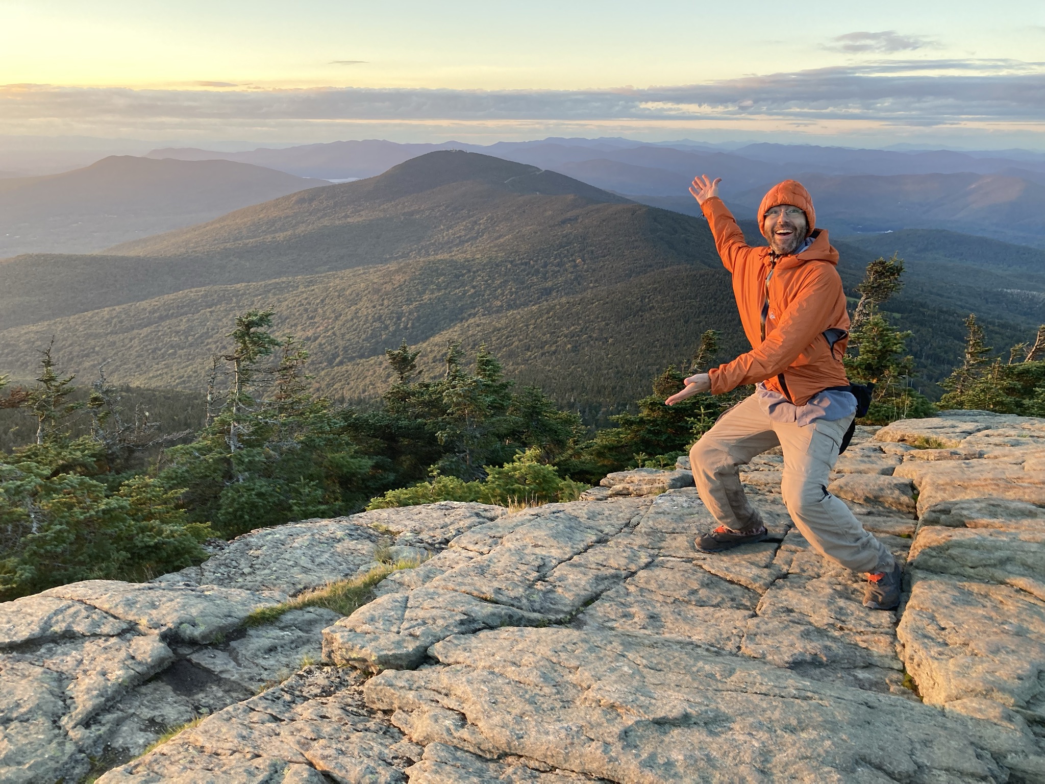
Killington Summit via Sherburne Pass Trail

Region Central Vermont, Killington Area
Length 11.6Miles
Difficulty Difficult
Elevation Gain

2933

Vertical Feet
Type

Out-and-Back

Good For 4,000 Footers, Backpacking, Day Hiking, Summits, Views

Description

For a longer trip to the top of Vermont’s second-highest peak, take the Sherburne Pass Trail south from the parking lot at Rt 4. Pass Pico Camp (2.7 mi) and continue another 0.4 mi to an intersection with the Long Trail at Jungle Junction (3.1 mi). Follow the LT South as it gradually climbs for 2.3 miles to Cooper Lodge, the highest shelter on the Long Trail at 3,900’ (5.4 mi).

From Cooper Lodge, continue on the LT 0.2 mi to the 0.2 mi Killington Spur to climb steeply to the summit (5.8 mi.). This final spur trail is the hardest part of the whole hike, but leads to an open summit with 360-degree views so the reward is substantial! Return the way you came for 11.6 miles 


Trail Map


Getting There

From Rutland, follow US-4E for 9.1 mi. Shelburne Pass/Long Trail Parking lot is on the right.

From Killington Village continue on Killington Rd. For 2.5 mi. Turn left onto US-4W for 1.6 mi. Shelburne Pass/Long Trail parking lot is on the left. Note that the parking lot is on a blind hill. Please be cautious when turning left from US-4W into the lot. 


wood grain texture

Long Trail Guide 29th Edition

wood grain texture
Mansfield_Map_5th_Ed

Get the Map!

Mount Mansfield and the Worcester Range

wood grain texture

Get the Map!

Camel’s Hump and the Monroe Skyline

wood grain texture
NEK2019map_web_large

Get the Map!

Northeast Kingdom Hiking Trail Map

wood grain texture
Killington2022_Map_Cover_low-res_002_large

Get the Map!

Killington Area Hiking Trail Map with Ascutney & Okemo

wood grain texture

Sign up for emails to get seasonal hiking advice




