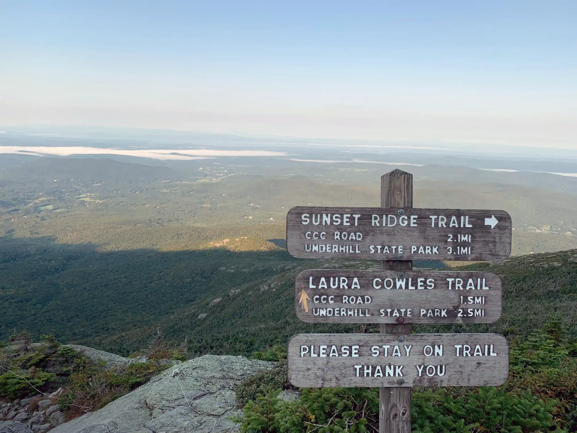
From Underhill State Park follow Park Road Trail for 0.9 mi. until intersection with Sunset Ridge Trail and CCC Road Trail (0.9 mi.). Take a left at the intersection, following Sunset Ridge Trail for 0.1 mi (1.0 mi.). Turn right onto Laura Cowles Trail. Follow Laura Cowles for 1.4 mi. (2.4 mi.) until reaching intersection with Sunset Ridge Trail. Continue straight for 0.1 mi. To top of ridgeline.Take a left and follow Long Trail North for 0.2 mi. until reaching the summit also known as the Chin. (2.7 mi.) at 4,395 ft. From the Chin, turn back down Long Trail going south for 0.2 mi. until again reaching Sunset Ridge and Laura Cowles Trail intersection (2.9 mi.). Take a right from the Long Trail onto a connector trail for 0.1 mi. until reaching the intersection (3.0 mi.). Turn right, going down Sunset Ridge Trail following an open ridgeline for 2.0 mi. (5.0 mi.). Continue past Laura Cowles Trail intersection for 0.1 mi. (5.1mi.) until reaching Park Road Trail once again. Follow Park Road for 0.9 miles back to Underhill State Park (6 mi.).
Mt. Mansfield, the tallest point in Vermont, features a long summit ridge with multiple highpoints. The ridge is said to look like the profile of a person, so its highpoints have names like the Forehead, the Nose, and the Chin (the highest point in Vermont, at 4,395’. It also has long side ridges, like Sunset Ridge. It is one of the most popular hiking destinations in Vermont and can become very crowded, drawing visitors from all over the Northeast and Quebec. In order to avoid crowds, plan to visit early in the morning or on weekdays.
There are multiple ways up to the summit of Mt. Mansfield from multiple trailheads. Please note that the trails described below leave from Underhill State Park. There are a few loop options available from the Underhill Trailhead. If planning to start and end at different trailheads, make sure to drop a car and plan for the driving distance between trailheads, which can be as much as two hours.