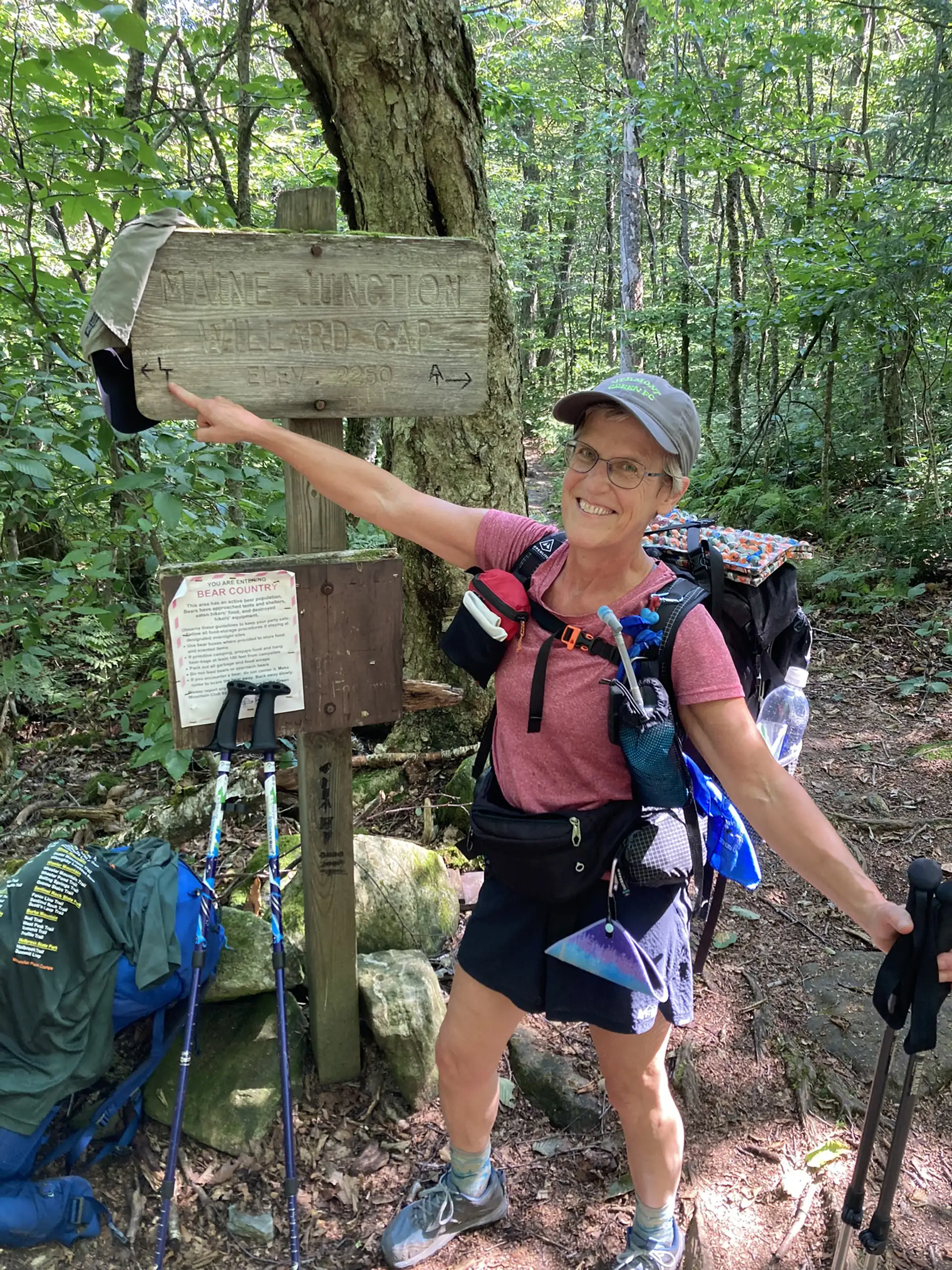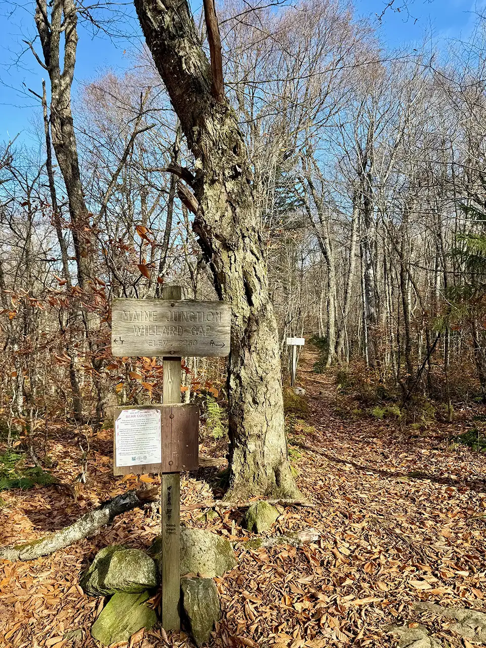
The Long Trail (LT) and Appalachian Trail (AT), two long distance hiking trails, overlap in Vermont from Massachusetts for roughly 100 miles. The AT splits off from the LT in Killington at what is known as the Maine Junction.
Starting at the AT/LT VT Rt. 4 parking lot, cross US-4 (please note that this is a very busy road). Follow Long Trail North for 1.0 mi towards Willard Gap and Maine Junction with the Appalachian Trail. Continue onto the Appalachian Trail going south for 0.9 mi (1.9 mi). At the intersectionwhere the AT continues east, take the Sherburne Pass Trail going south for 0.5 mi towards Sherburne Pass (2.4 mi). Cross US-4 with caution as this crossing is busy and on a blind hill (note that this crossing is 1.0 mi east from the first crossing at the AT/LT parking lot). Continue across the parking lot for Sherburne Pass/Pico Peak/Deer Leap back into the woods. Follow Sherburne Pass Trail for 2.7 mi. to intersection with Pico Camp (5.1 mi). Continue another 0.4 mi to Jungle Junction (5.5 mi). From Jungle Junction with the Long Trail, turn right onto Long Trail South for 3.8 mi back to AT/LT VT US- 4 parking lot (9.3 mi).