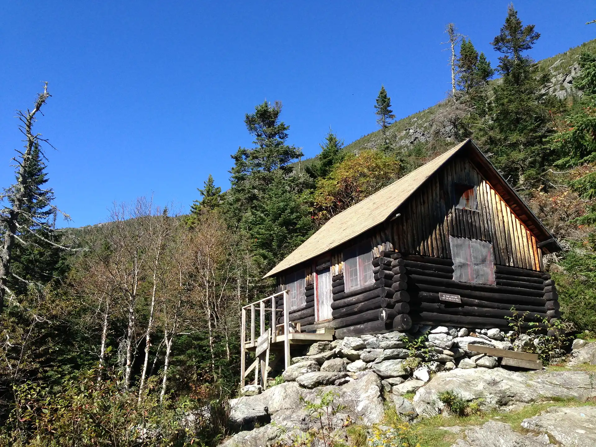
This is a good moderate day hike or beginning overnight trip.
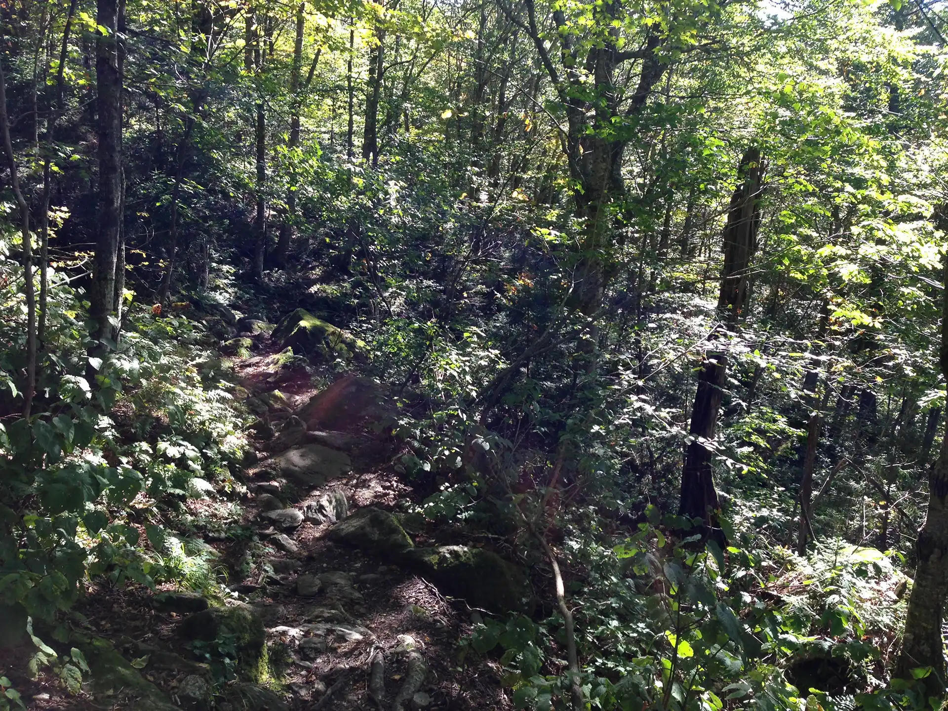
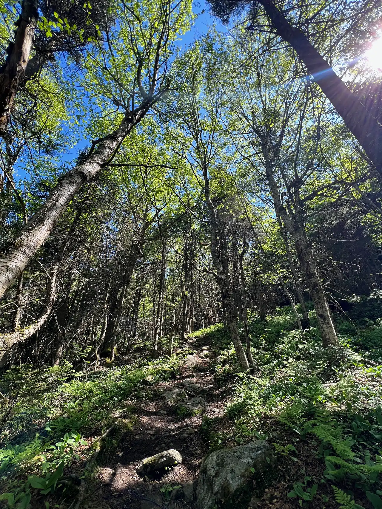
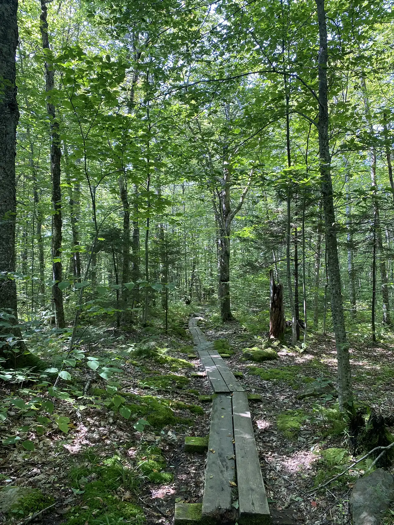
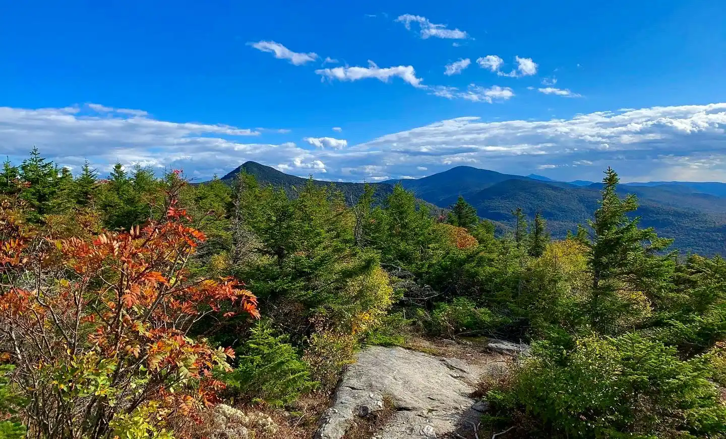
A beautiful but difficult 4.8-mile loop can be made by connecting the Frost, Maple Ridge, Rock Garden, and Butler Lodge Trails. The loop provides a variety of terrain with many amazing views, exciting rock scrambles and caves, interesting birch forests, and of course, Butler Lodge, one of the overnight sites found along the Long Trail.
From Stevensville parking lot, follow an old logging road for 0.2 mi. passing a gate. From the logging road (0.2 mi.) bear left at the Butler Lodge and Frost Trail intersection (0.3 mi.) following the Frost Trail crossing Stevensville Brook. Climb steadily for 1.4 mi. on the Frost Trail to the intersection with the southmost knob of Maple Ridge (1.7 mi.). Take a right at the Maple Ridge and Rock Garden intersection and follow Rock Garden Trail for 0.6 mi. Rock Garden is abundant with boulders, rock scrambles, and a narrow squeeze, making it challenging when wet. At the intersection with Wampahoofus Trail, continue on Rock Garden Trail for 0.1 mi. to Butler Lodge (2.8 mi.). At nearly 3,000ft., Butler Lodge is one of the Long Trail System’s highest overnight sites (tenting is not allowed at Butler Lodge). From Butler Lodge continue south down Butler Lodge Trail past Wallace Cutoff Trail (3.0 mi.) intersection for 1.8mi. back to the Stevensville Parking Lot (4.8 mi.).
There are multiple ways up to the summit of Mt. Mansfield from multiple trailheads. Please note that the trails described here leave from the Stevensville Trailhead in Underhill. If planning to start and end at different trailheads, make sure to drop a car and plan for the driving distance between trailheads, which can be as much as two hours.