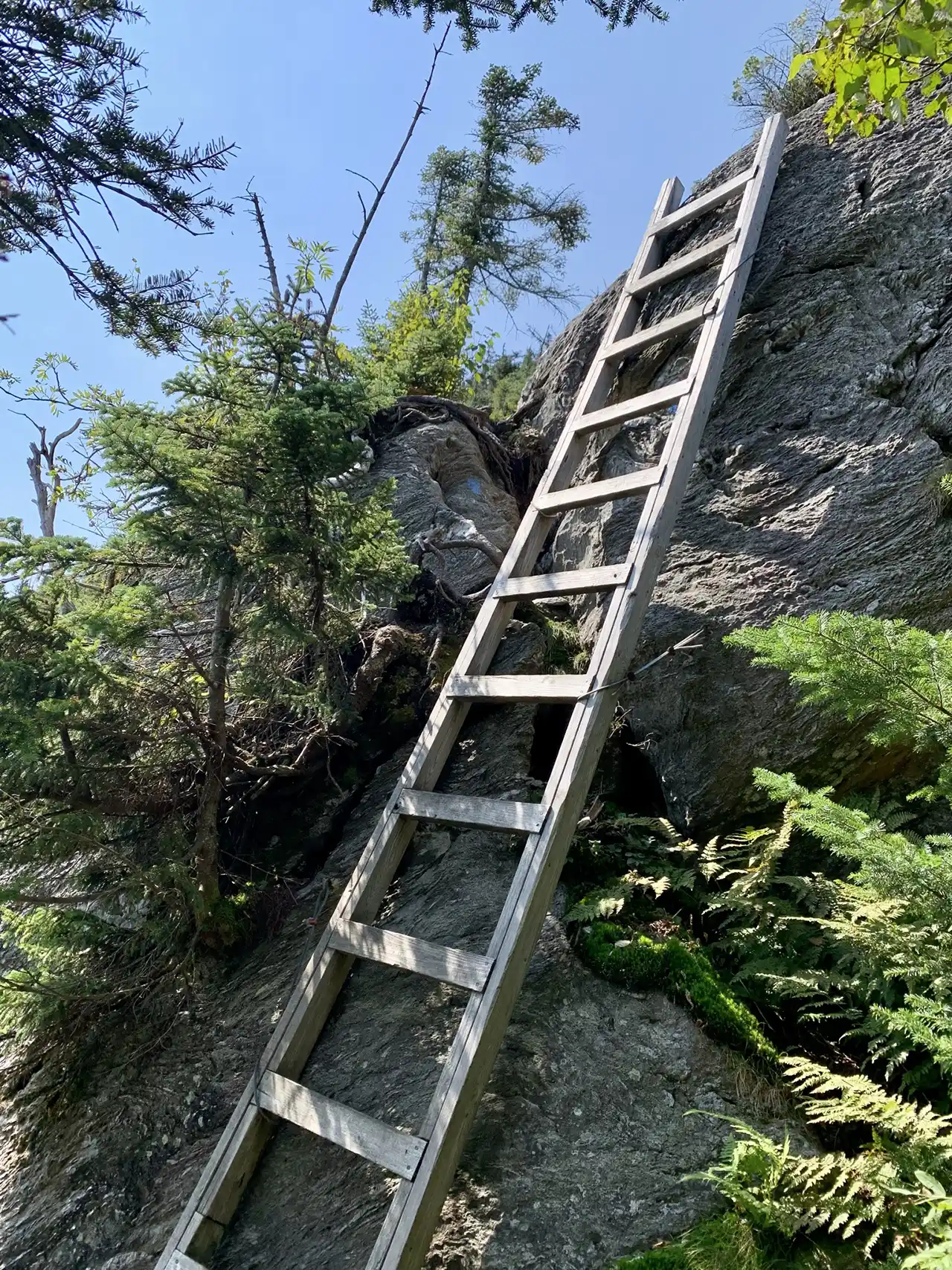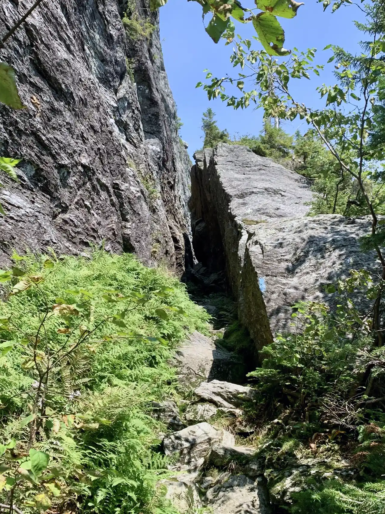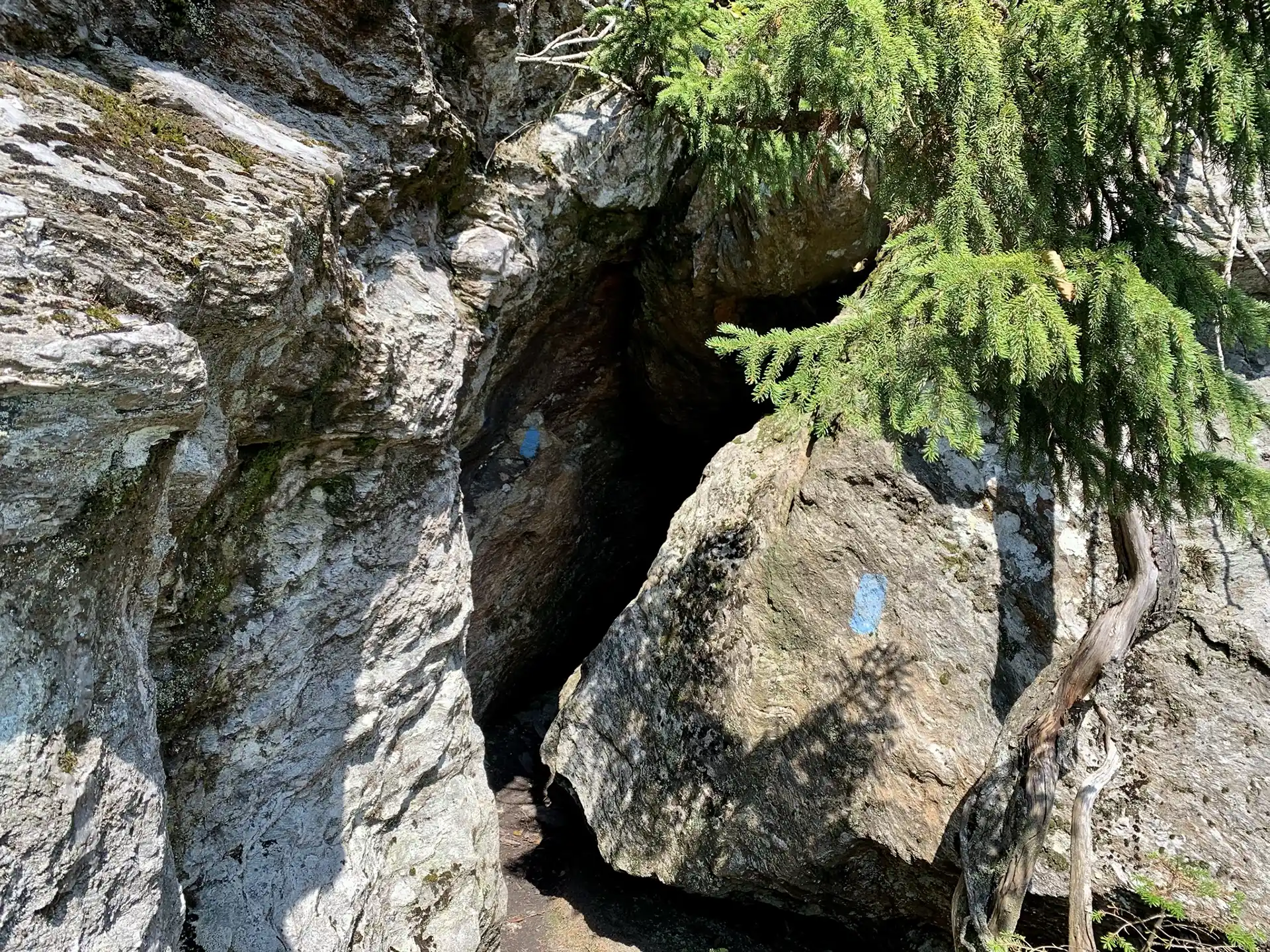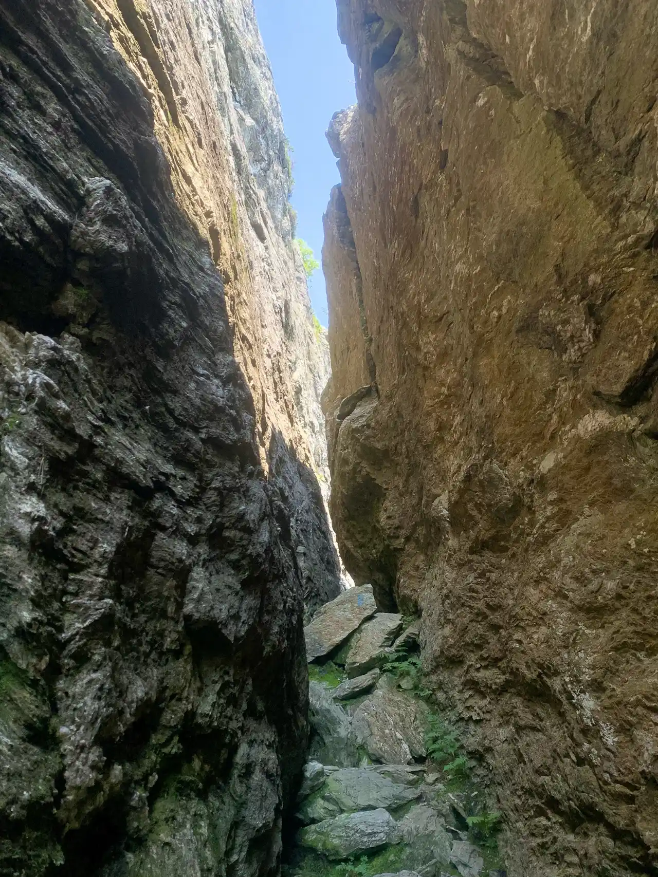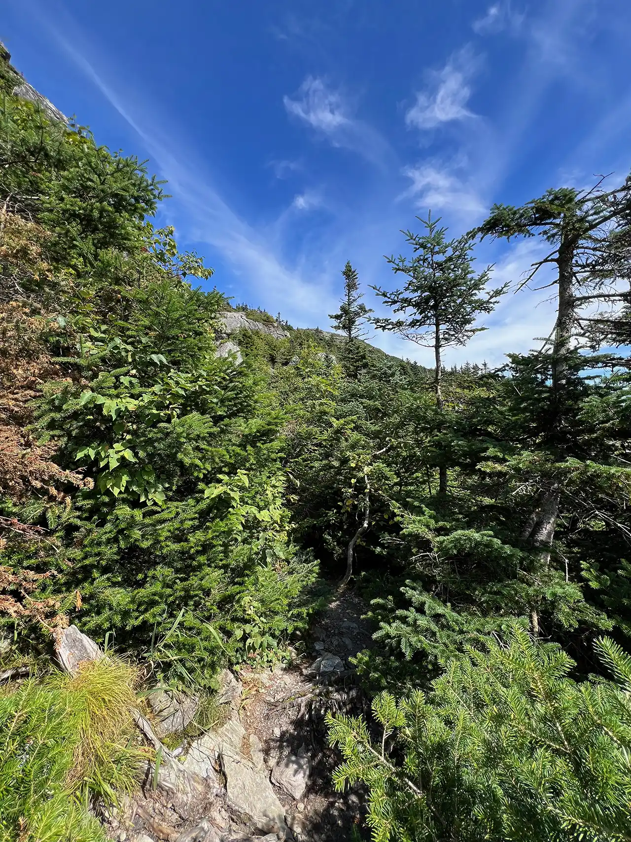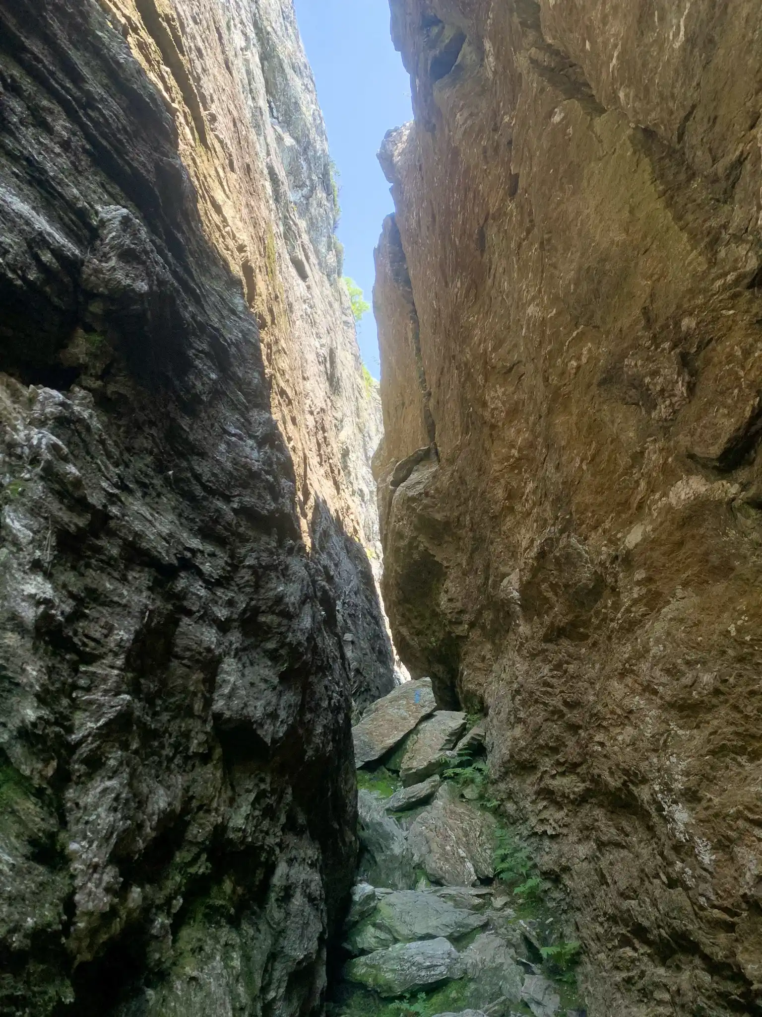
There are multiple ways up to the summit of Mt. Mansfield from multiple trailheads. This description involves a paid gondola ride, operated by Stowe Mountain Resort, followed by a short but difficult hike to the summit.
Stowe Gondola SkyRide is owned and operated by Vail Resorts and Stowe Mountain Resort. The Gondola runs seasonally from mid-June to mid-October. Riding the gondola requires a pass, sold at Stowe Mountain Resort. Dogs are permitted. The Gondola ride takes about 20-30 minutes and stops at the Cliff House restaurant. If you’d like to hike up to the summit of Mount Mansfield, take the short, but steep Cliff Trail to the Long Trail. For more information on times and pass prices visit: Gondola SkyRide | Stowe.
From Gondola to Summit: From Cliff House, take Cliff Trail connector for 0.1 mi. until reaching Cliff Trail. Continue right on the steep and rugged Cliff Trail for 0.3 mi. until reaching the Long Trail. At the intersection of the Cliff Trail with the Long Trail take a right onto Long Trail North. Continue on Long Trail North for 0.4 mi until reaching the Chin, or the highest point of Mount Mansfield (0.8 mi). To return to the gondola take Long Trail South 0.4 mi. back to Cliff Trail, then down a steep 0.4 mi. back to the Cliff House. Note that the last gondola is at 4:15 p.m. so allow time to get back down to the Cliff House before then.
Mt. Mansfield, the tallest point in Vermont, features a long summit ridge with multiple highpoints. The ridge is said to look like the profile of a person, so its highpoints have names like the Forehead, the Nose, and the Chin (the highest point in Vermont, at 4,395’). It also has long side ridges, like Sunset Ridge. It is one of the most popular hiking destinations in Vermont and can become very crowded, drawing visitors from all over the Northeast and Quebec. In order to avoid crowds, plan to visit early in the morning or on weekdays.