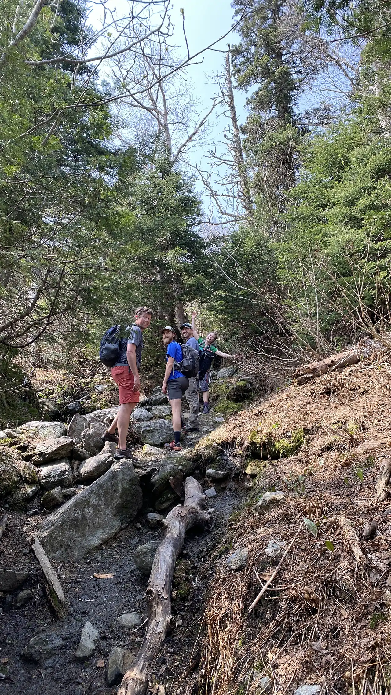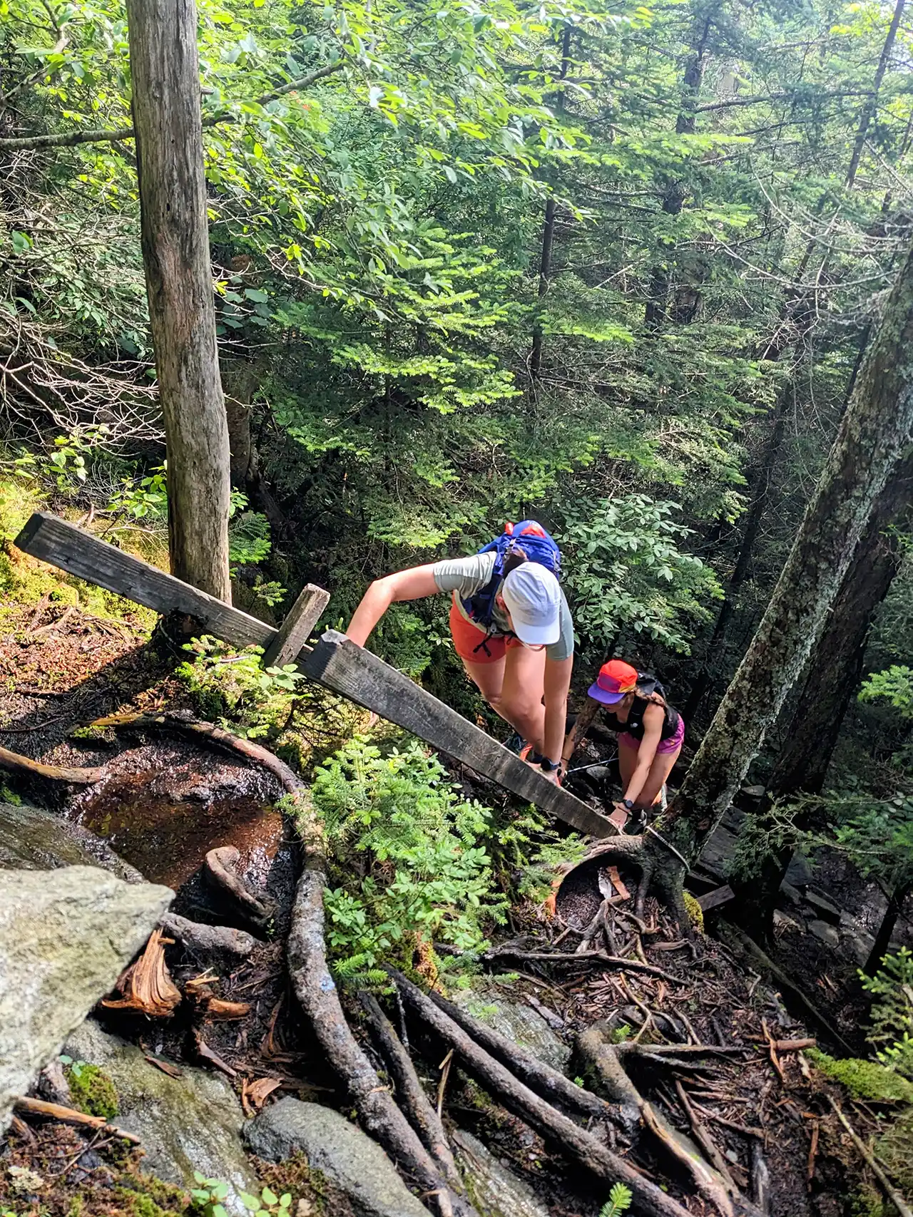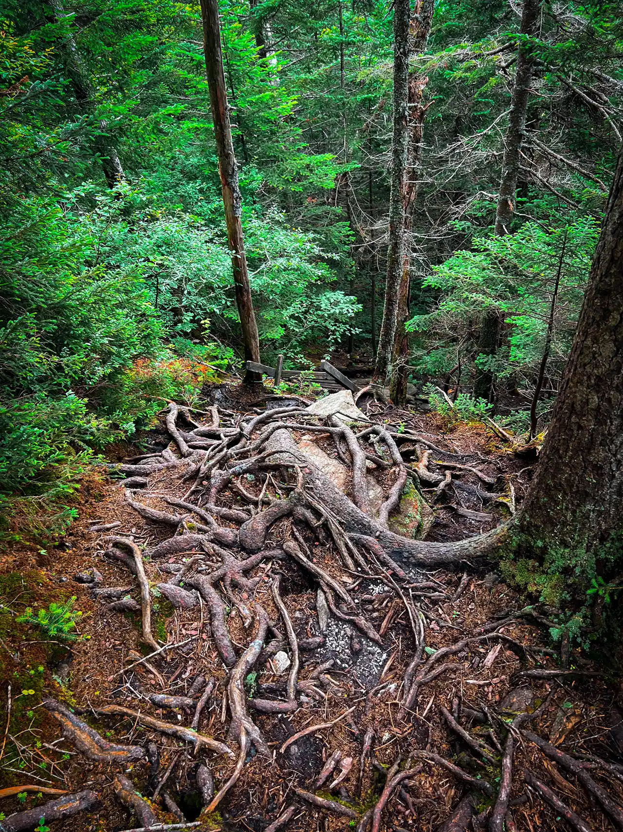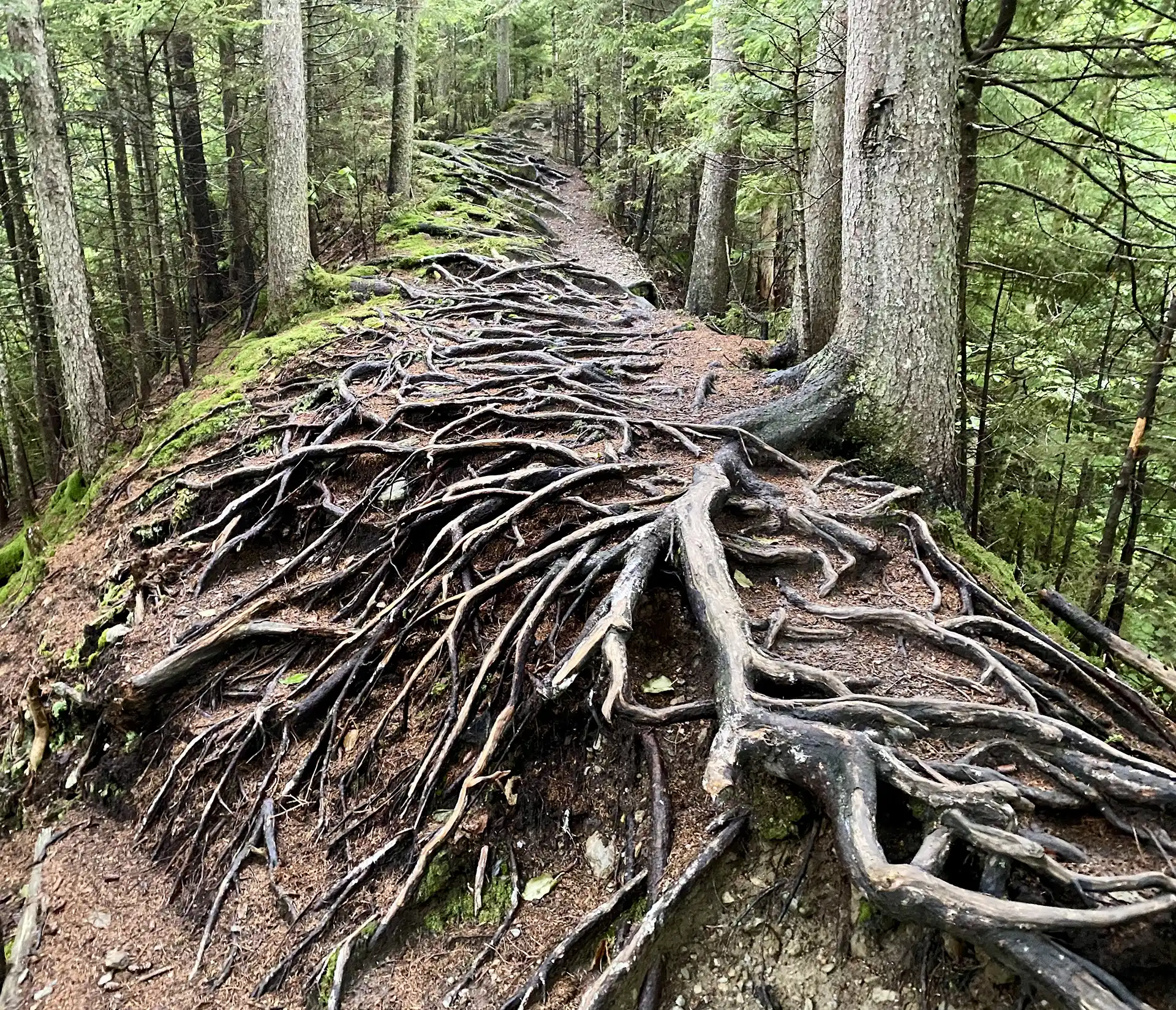
From Barnes Camp, take the Long Trail South, across the boardwalk, to the road crossing at Route 108 (0.5 mi.) Cross the road to continue on the Long Trail South and begin a continuous climb up Mount Mansfield’s northern ridge. Come to the junction of the Taft Lodge spur trail, Profanity Trail, and Hellbrook Cutoff Trail (1.7 mi.) Taft Lodge is 300 feet away and makes a great break spot. Continue on the Long Trail South ascending another 0.6 mi to the Chin (2.3 mi.), the highest point in Vermont. This is very steep and exposed requiring some scrambling.
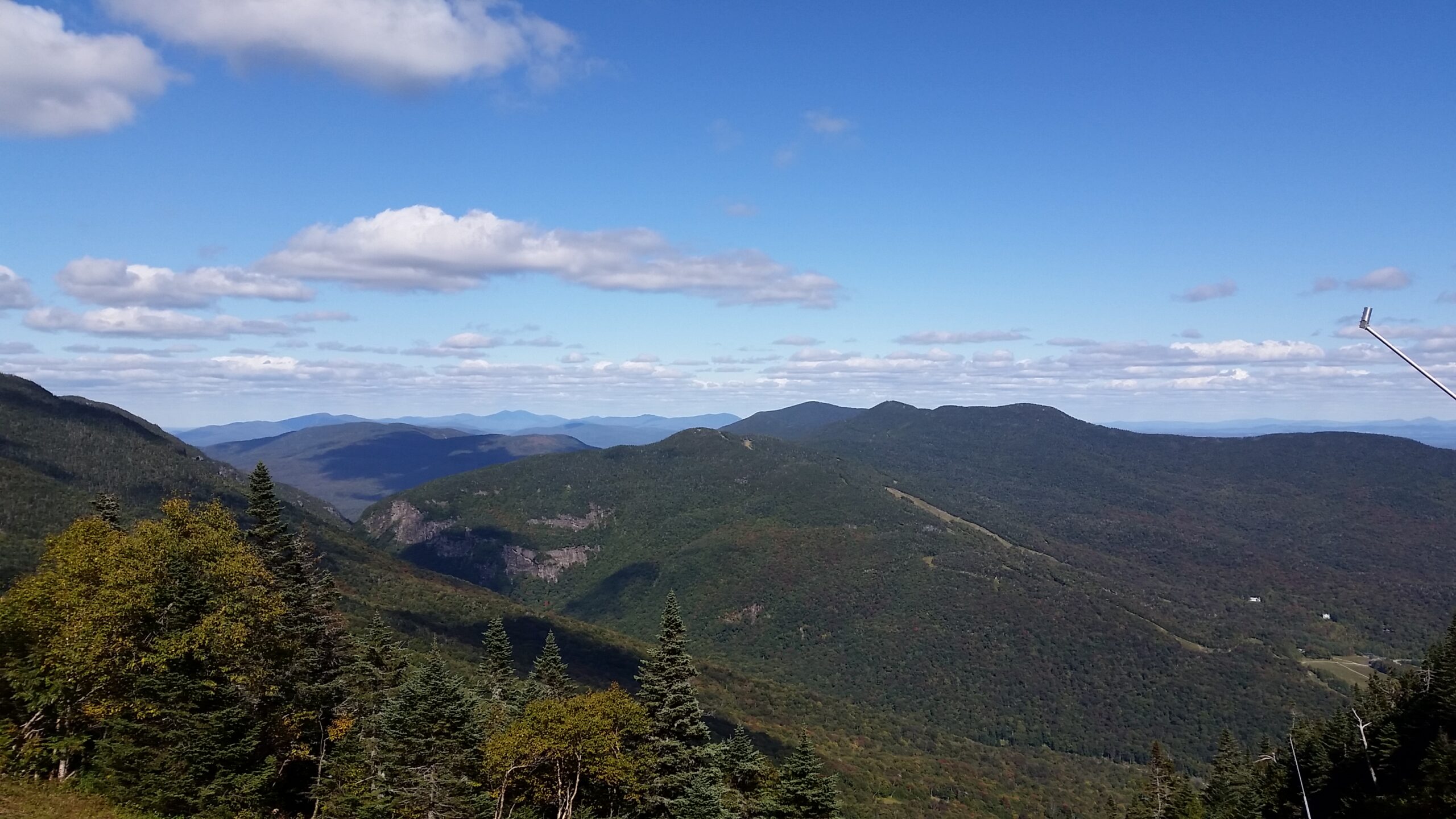
From the Chin continue south along the exposed, rocky spine of Mount Mansfield another 1.4 miles to the Mount Mansfield Summit Station (3.7 mi.) This is also where the Mount Mansfield Toll Road ends with a large parking lot. Proceed down the Toll Road for 0.5 miles to an intersection with the Haselton Trail (4.2 mi) on your left, entering a ski trail. The trail descends steeply down the mountain side, with spectacular views, crossing and following a couple of ski trails, eventually entering the woods (watch for Haselton Trail sign on your left). The trail exits the woods by the Midway Base Lodge. Follow the Lodge Road to Route 108, turn left following the road 0.3mi. back to the Long Trail south parking lot.(5.8 mi.)
Mt. Mansfield, the tallest point in Vermont, features a long summit ridge with multiple highpoints. The ridge is said to look like the profile of a person, so its highpoints have names like the Forehead, the Nose, and the Chin (the highest point in Vermont, at 4,395’). It also has long side ridges, like Sunset Ridge. It is one of the most popular hiking destinations in Vermont and can become very crowded, drawing visitors from all over the Northeast and Quebec. In order to avoid crowds, plan to visit early in the morning or on weekdays.
There are multiple ways up to the summit of Mt. Mansfield from multiple trailheads, so take care to review maps and return to the same trailhead you started from. If planning to start and end at different trailheads, make sure to drop a car and plan for the driving distance between trailheads, which can be as much as two hours.