Pico Peak

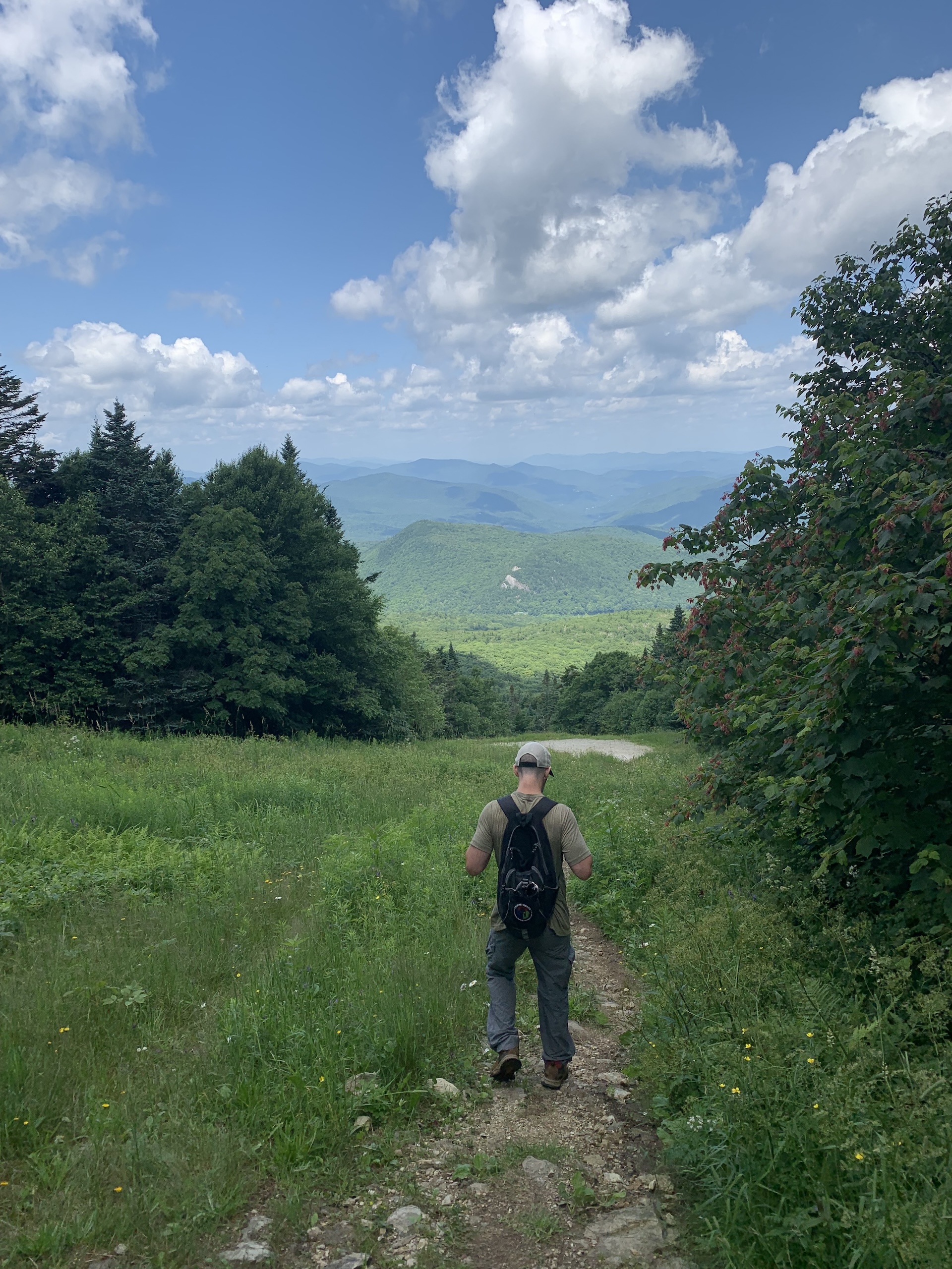
hiker on grassy ski slope
Region Central Vermont, Killington Area
Length 6.2Miles
Difficulty Moderate
Elevation Gain

1860

Vertical Feet
Type

Out-and-Back

Good For Day Hiking, Summits, Views

Description

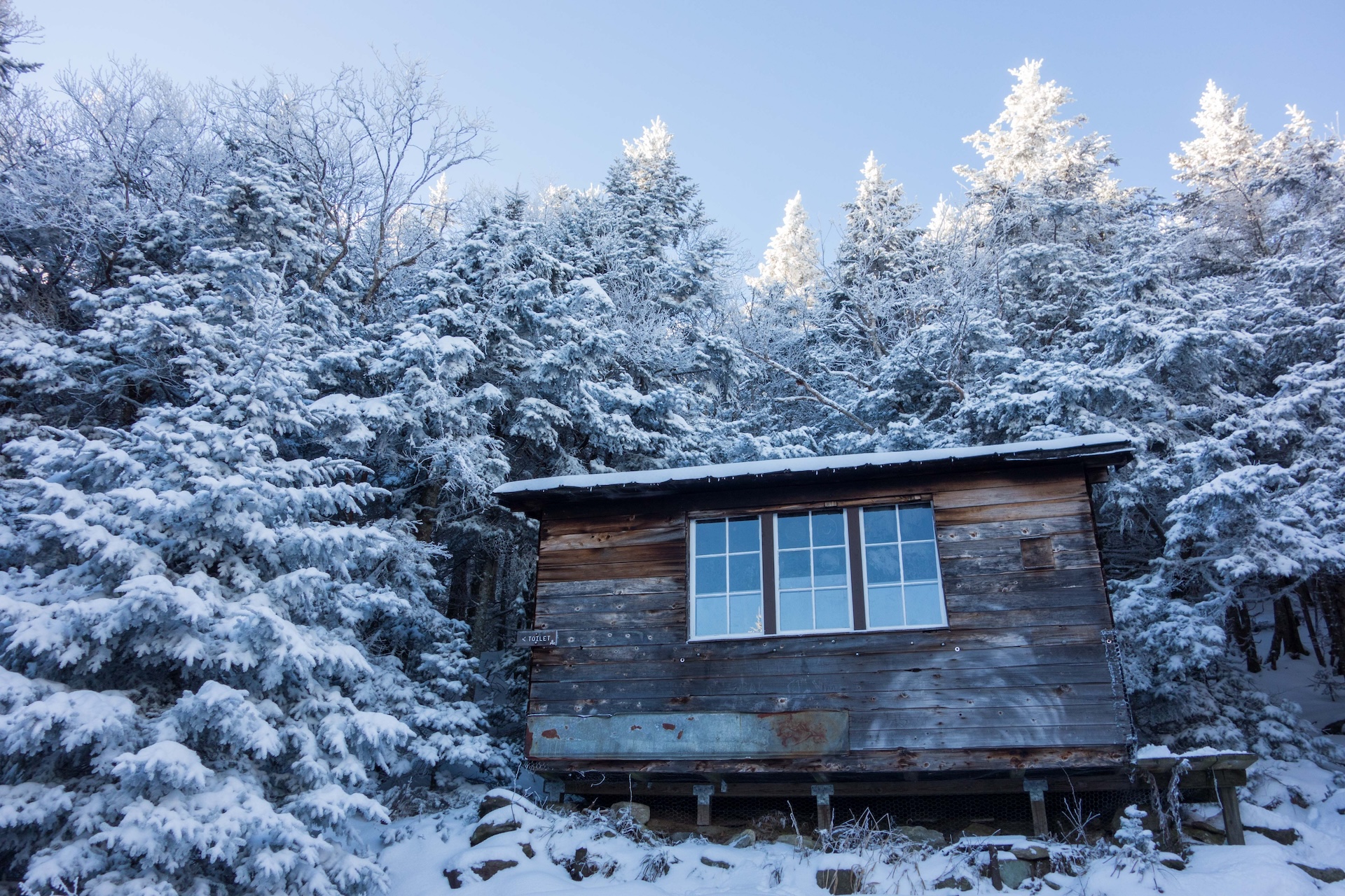
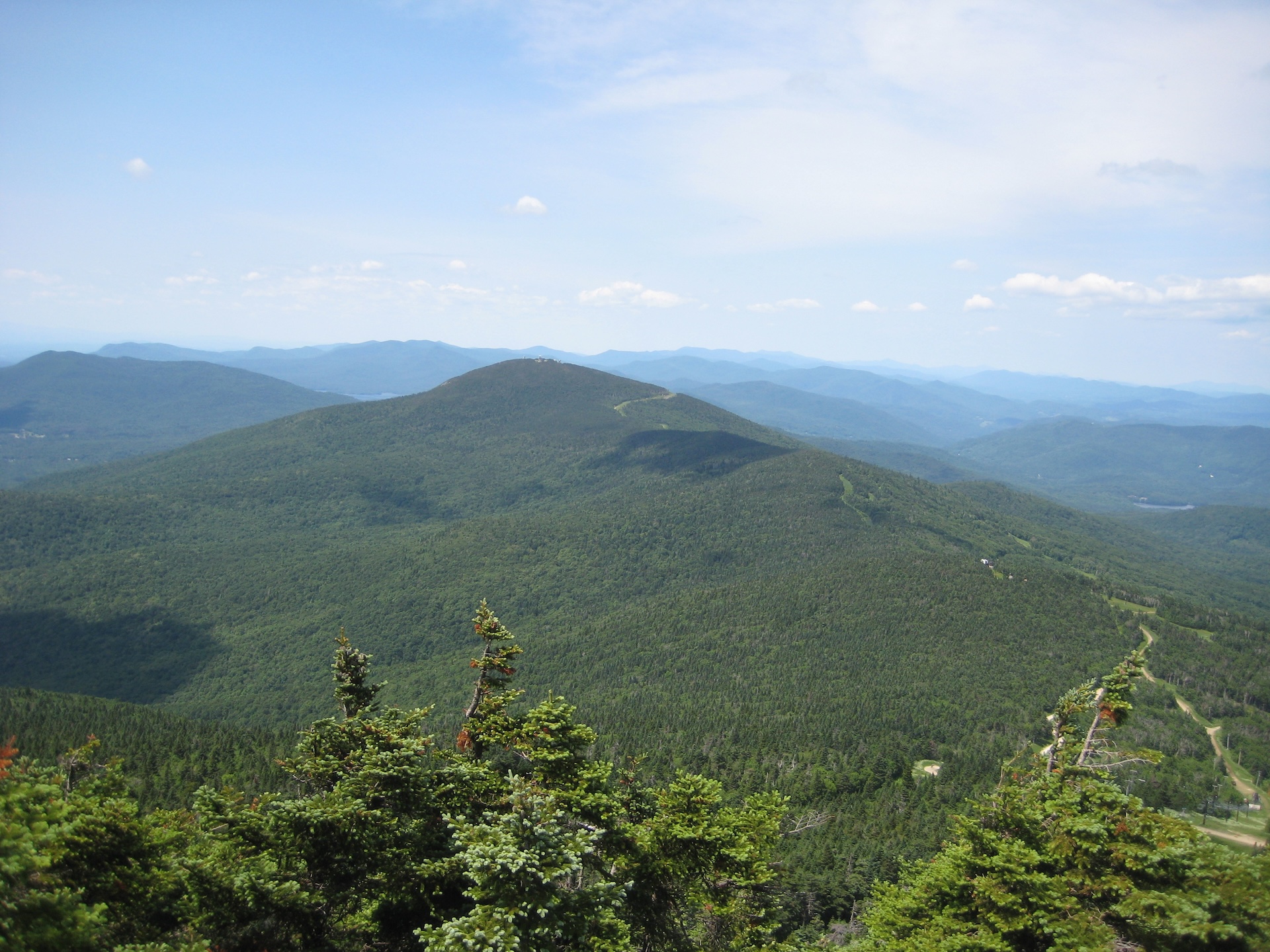
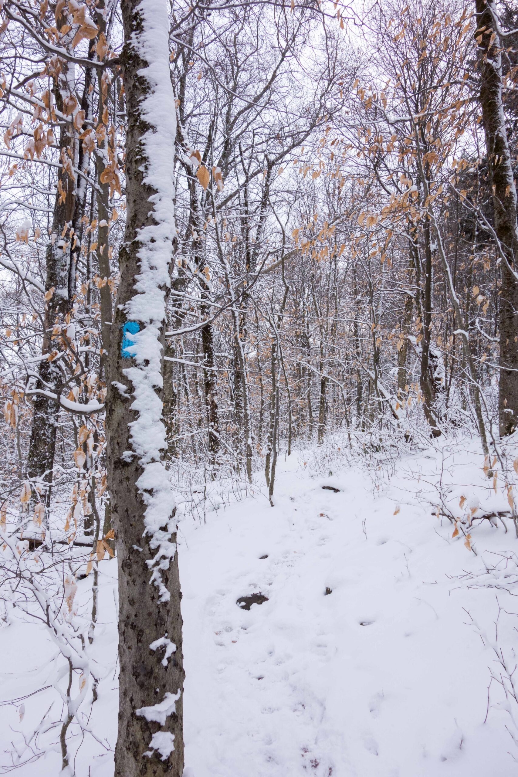
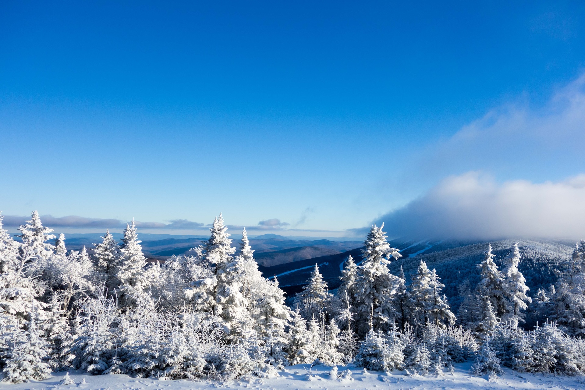
From the Deer Leap/Pico Peak parking area on Route 4, take the Sherburne Pass Trail south gradually climbing for 2.7 miles to Pico Camp, a small four-sided shelter. Ski trails allow for nice views along the way. Note that the trail crosses a few ski trails and service roads, which can be confusing; follow the blue blazes. From Pico Camp, follow the Pico Link trail for 0.4 miles crossing a service road to Pico Peak at 3,957’ (3.1 mi). The summit is part of Pico Peak resort. Please be respectful of the ski lifts and buildings. To return follow Pico Link Trail back to Pico Camp to then continue on Sherburne Pass Trail (6.2 mi). 

The Sherburne Pass Trail is the original route of the Long Trail, built in the 1910s, which took this route from Pico Peak to Route 4 until it was relocated approximately 1 mile west in 1999, following many years of debate around ski area expansion.
Getting There

From Rutland, follow US-4E for 9.1 mi. Sherburne Pass Trail Parking Lot is on the right.  

From Killington Village continue on Killington Rd. for 2.5 mi. Turn left onto US-4W for 1.6 mi. Sherburne Pass Trail Parking Lot is on the left. Note that the parking lot is on a blind hill. Please be cautious when turning left from US-4W into the lot. 


wood grain texture

Long Trail Guide 29th Edition

wood grain texture
Mansfield_Map_5th_Ed

Get the Map!

Mount Mansfield and the Worcester Range

wood grain texture

Get the Map!

Camel’s Hump and the Monroe Skyline

wood grain texture
NEK2019map_web_large

Get the Map!

Northeast Kingdom Hiking Trail Map

wood grain texture
Killington2022_Map_Cover_low-res_002_large

Get the Map!

Killington Area Hiking Trail Map with Ascutney & Okemo

wood grain texture

Sign up for emails to get seasonal hiking advice