Shrewsbury Peak Trail 

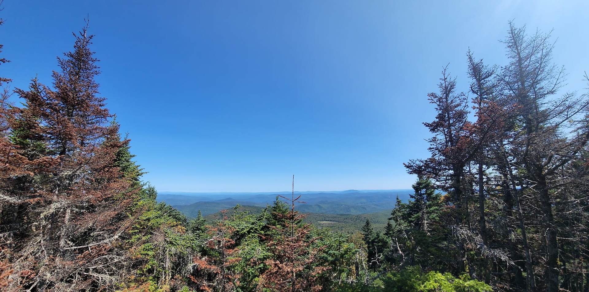
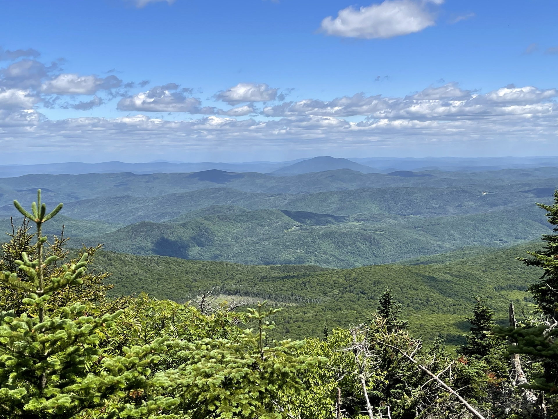
view of rolling green hills and sky
Region Central Vermont, Killington Area
Length 3.6Miles
Difficulty Moderate
Elevation Gain

1525

Vertical Feet
Type

Out-and-Back

Good For Day Hiking, Families, Summits, Views

Description

Shrewsbury Peak is a wonderful day hike option that may have fewer crowds than nearby Killington and Pico Peak. 

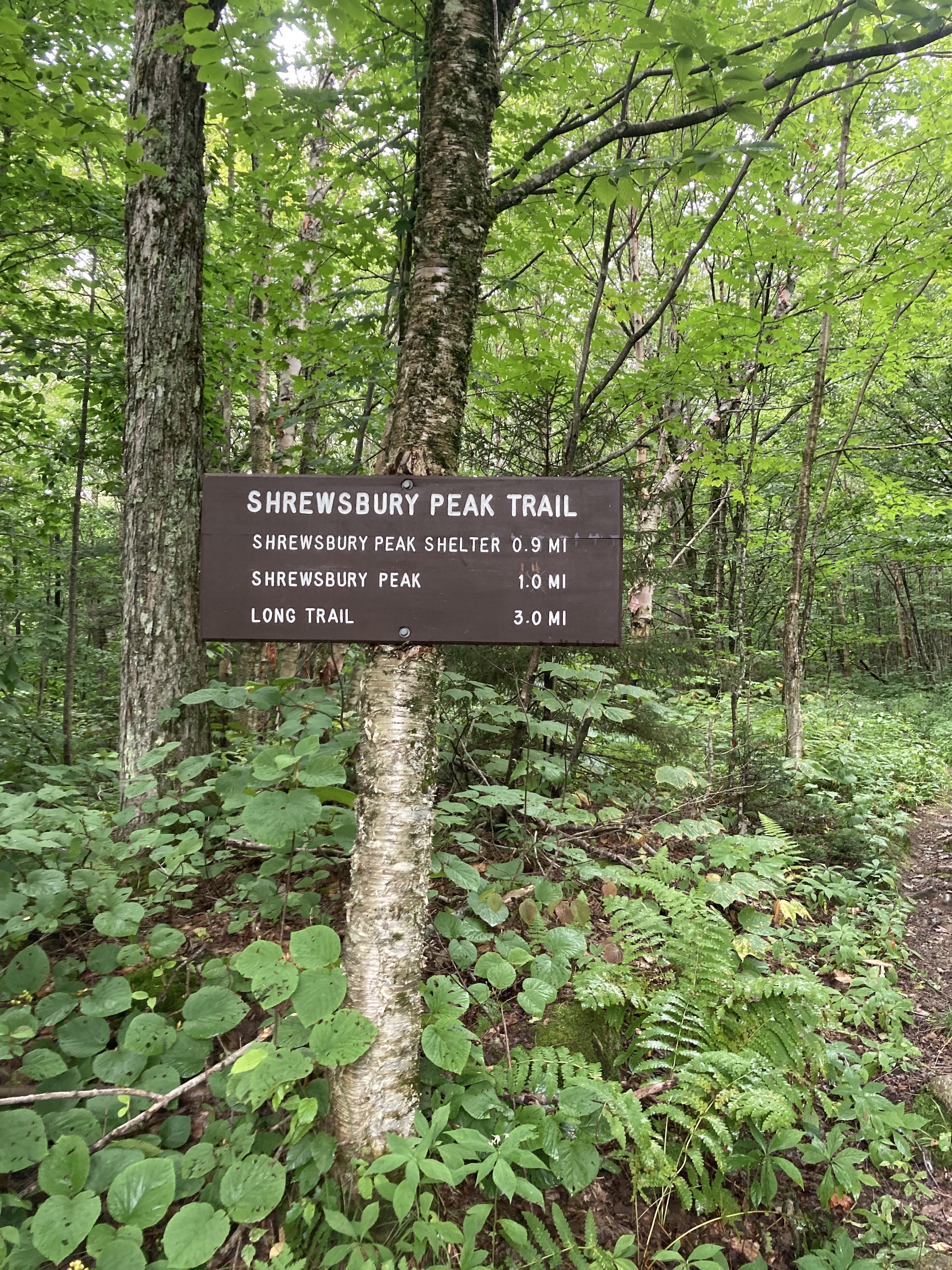
From the Shrewsbury Trail parking lot on North Shrewsbury CCC Road, follow the Shrewsbury Peak Trail past Russell Hill Shelter and gradually then steeply climb to the summit of Shrewsbury Peak (3720’) for 1.8 mi. At the summit, there are several rocky outcrops that provide views to the south and east. To return follow the Shrewsbury Peak Trail back for 1.8 mi (3.6 mi).  

Hike Modifications: You can turn this into a loop hike from the summit by descending on the Black Swamp Trail. From the summit, continue on Shrewsbury Peak Trail for 0.1 mi to a junction with the Black Swamp Trail. Follow the Black Swamp Trail for 2.1 mi. back to the CCC Road, 1.4 mi. north of the Shrewsbury Peak trailhead. Walk back on the road for a 5.5-mile loop hike. Parking two cars, one at each trailhead would make for a 4.1 mi. round-trip hike.  

Trail Map


Getting There

From Killington, follow Route 100 south. Turn right onto Shrewsbury Road for 2.1 miles. Continue on the CCC road for 1.3 miles to the trailhead. The CCC Road is not maintained in winter.


wood grain texture

Long Trail Guide 29th Edition

wood grain texture
Mansfield_Map_5th_Ed

Get the Map!

Mount Mansfield and the Worcester Range

wood grain texture

Get the Map!

Camel’s Hump and the Monroe Skyline

wood grain texture
NEK2019map_web_large

Get the Map!

Northeast Kingdom Hiking Trail Map

wood grain texture
Killington2022_Map_Cover_low-res_002_large

Get the Map!

Killington Area Hiking Trail Map with Ascutney & Okemo

wood grain texture

Sign up for emails to get seasonal hiking advice