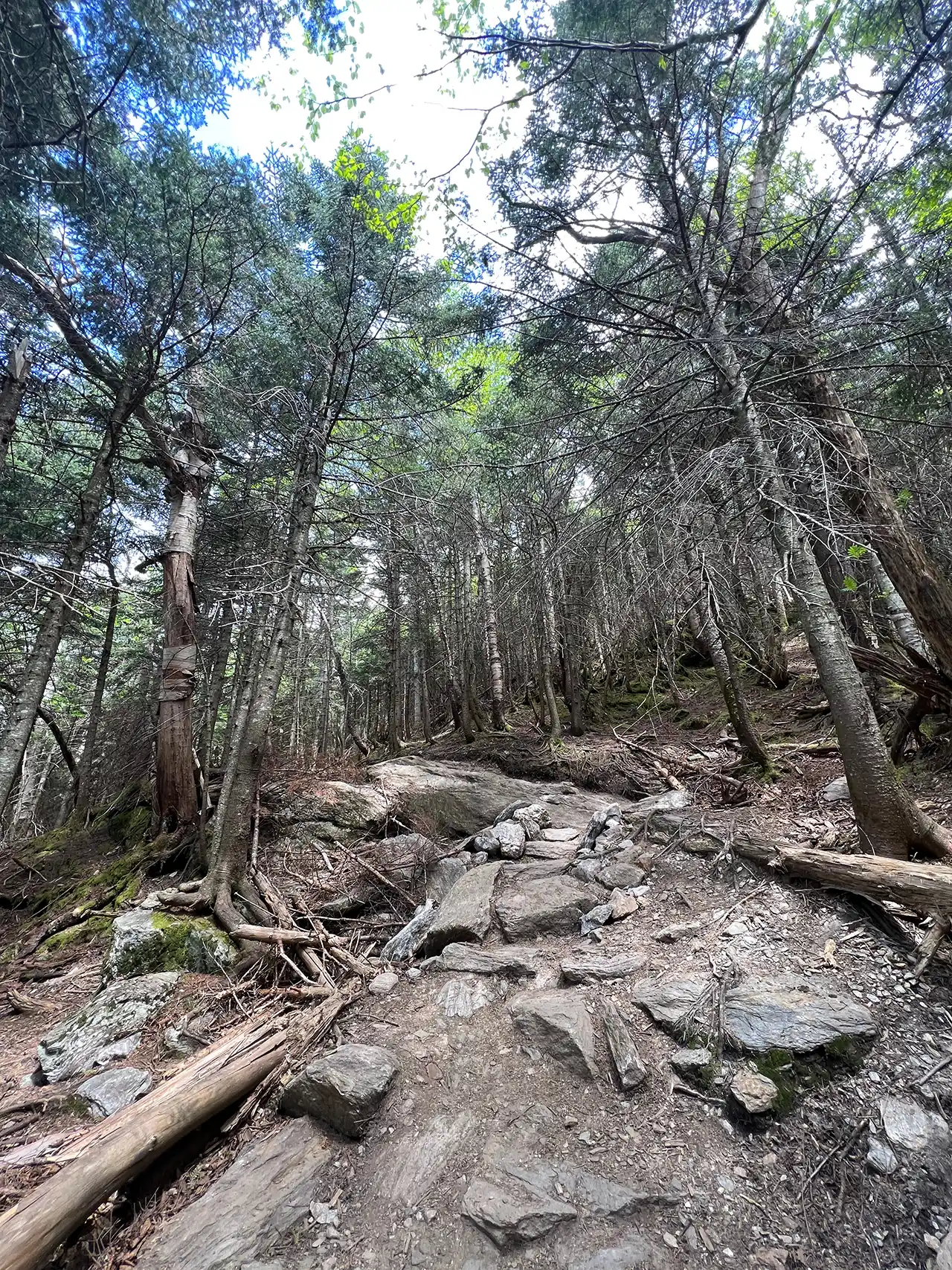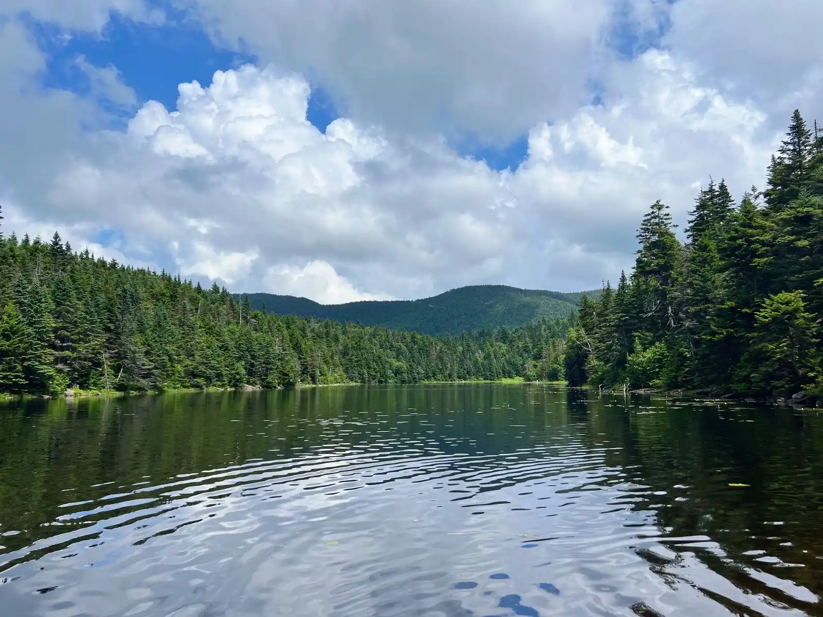
Sterling Pond Trail is short but steep two-mile round-trip hike on the eastern side of Smugglers’ Notch. The excursion can be turned into a half-day or all-day hike by adding connecting trails, including stretches of Vermont’s Long Trail. One of the Long Trail shelters, Sterling Pond Shelter, faces away from the water and its usual prevailing winds. The trail gains 1,066’ just over one mile, making it a moderate trail, but a good day hike option in summer, fall, and winter (note additional road walk needed).
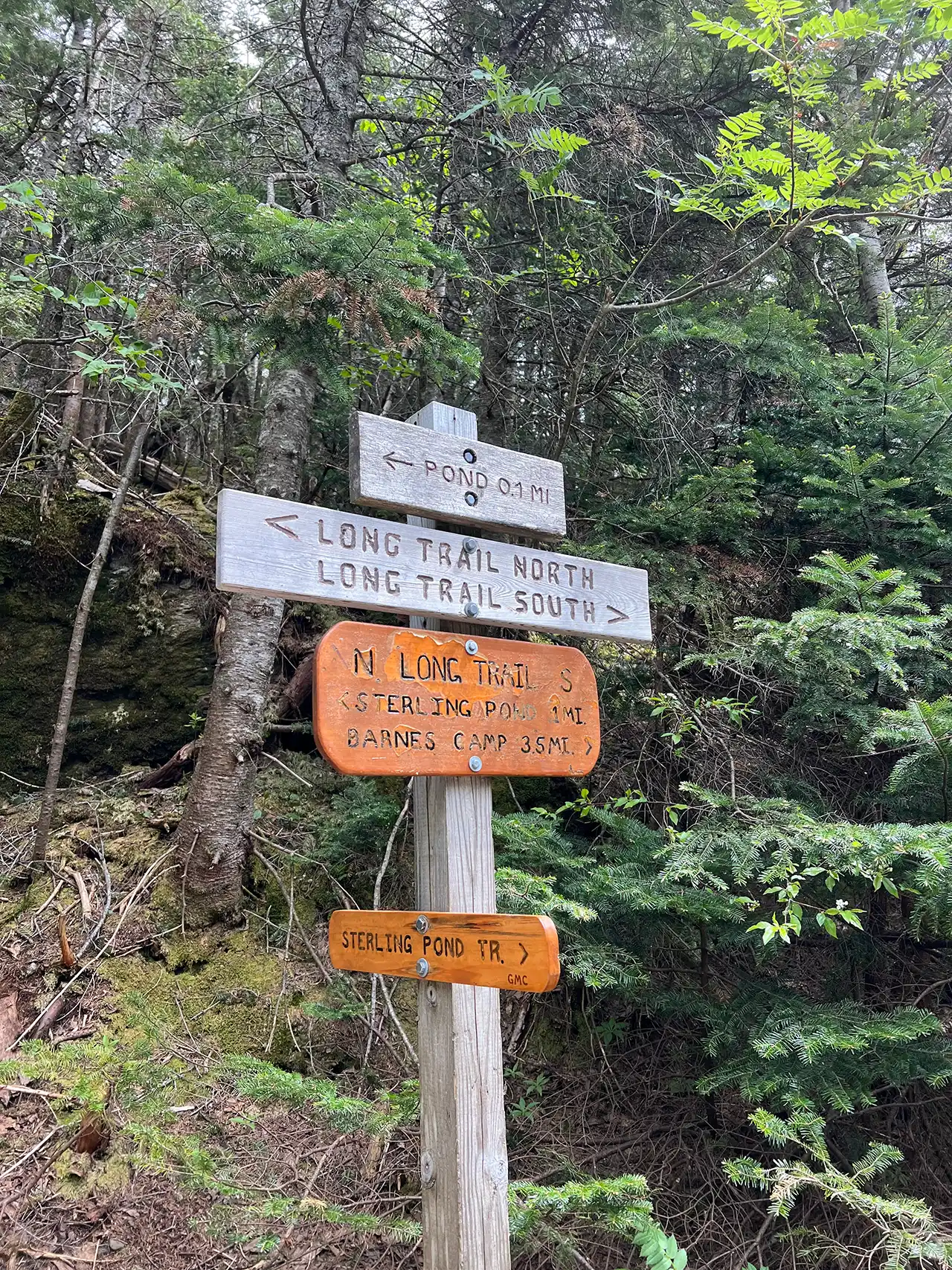
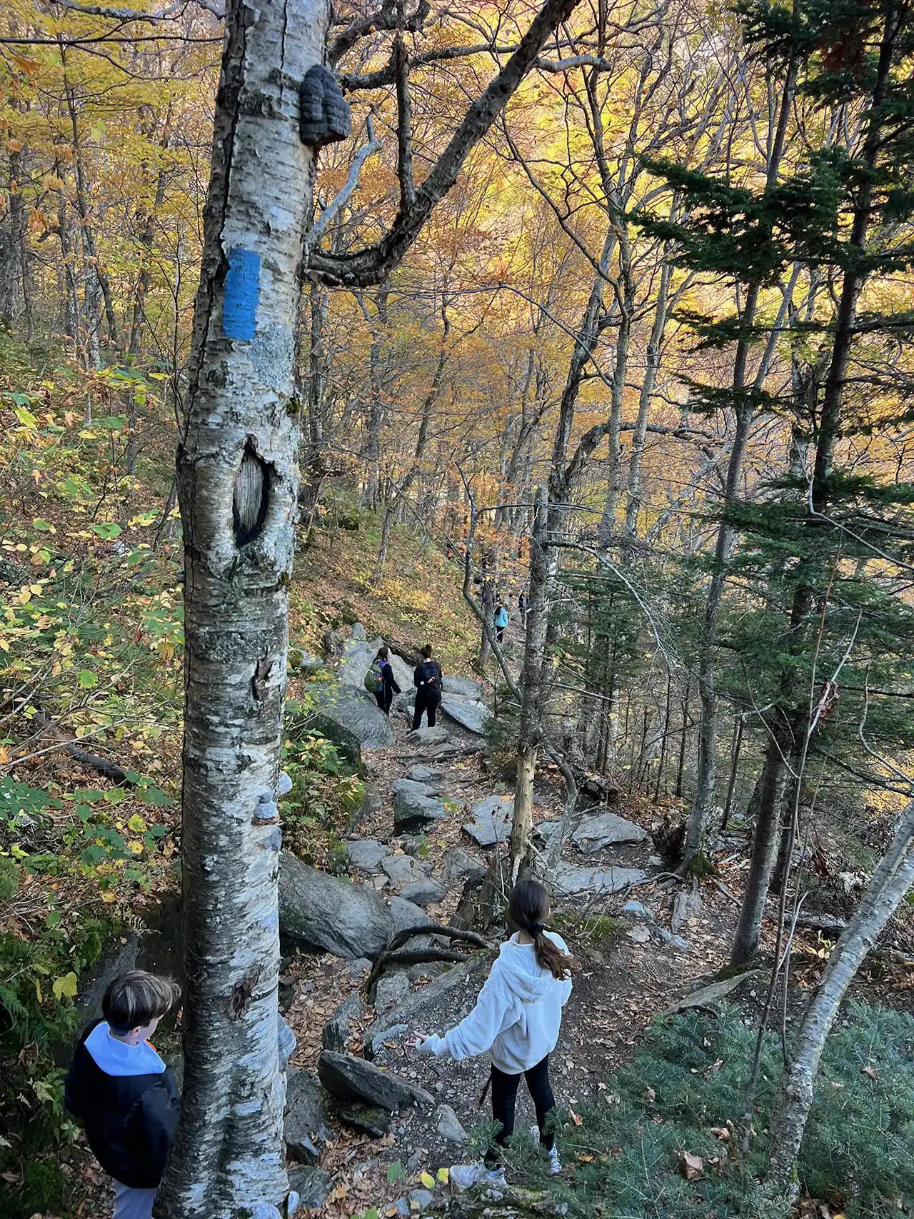
From the Sterling Pond parking lot, carefully cross Rt. 108 to get to the trailhead. The Sterling Pond Trail is on the right and begins with a steep ascent on stone steps. Follow blue blazes for 1.1 mile to the intersection with the Long Trail. Turn left, heading north on the Long Trail (blazed in white) and continue to Sterling Pond, an additional .01 of a mile (1.1 mi). To get to Sterling Pond Shelter continue straight on the Long Trail around Sterling Pond for 0.3 mi (1.4 mi). To return to Rt. 108 as an out-and-back take the Long Trail back to Sterling Pond Trail for a trip total of 2.8 mi.
For a loop option, continue past Sterling Pond shelter on the Long Trail to the intersection with Elephants Head Trail. This trail is 0.7 miles and follows the rocky shore of the pond. At the Elephants Head Trail and Long Trail intersection, turn right and follow Long Trail North for 0.3 mi. to the Sterling Pond Trail. At Sterling Pond Trail intersection take a left to return to the parking lot within another 1.1 mi. This loop is 3.5 mi. total.
Note this is a busy trail system, especially on weekends. Consider visiting outside of peak periods.