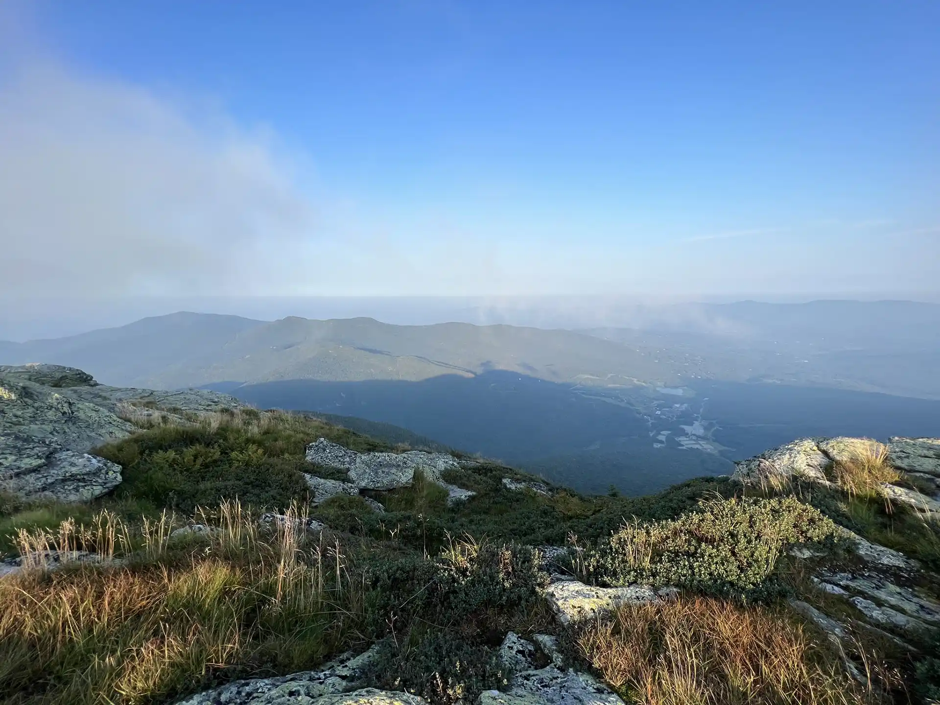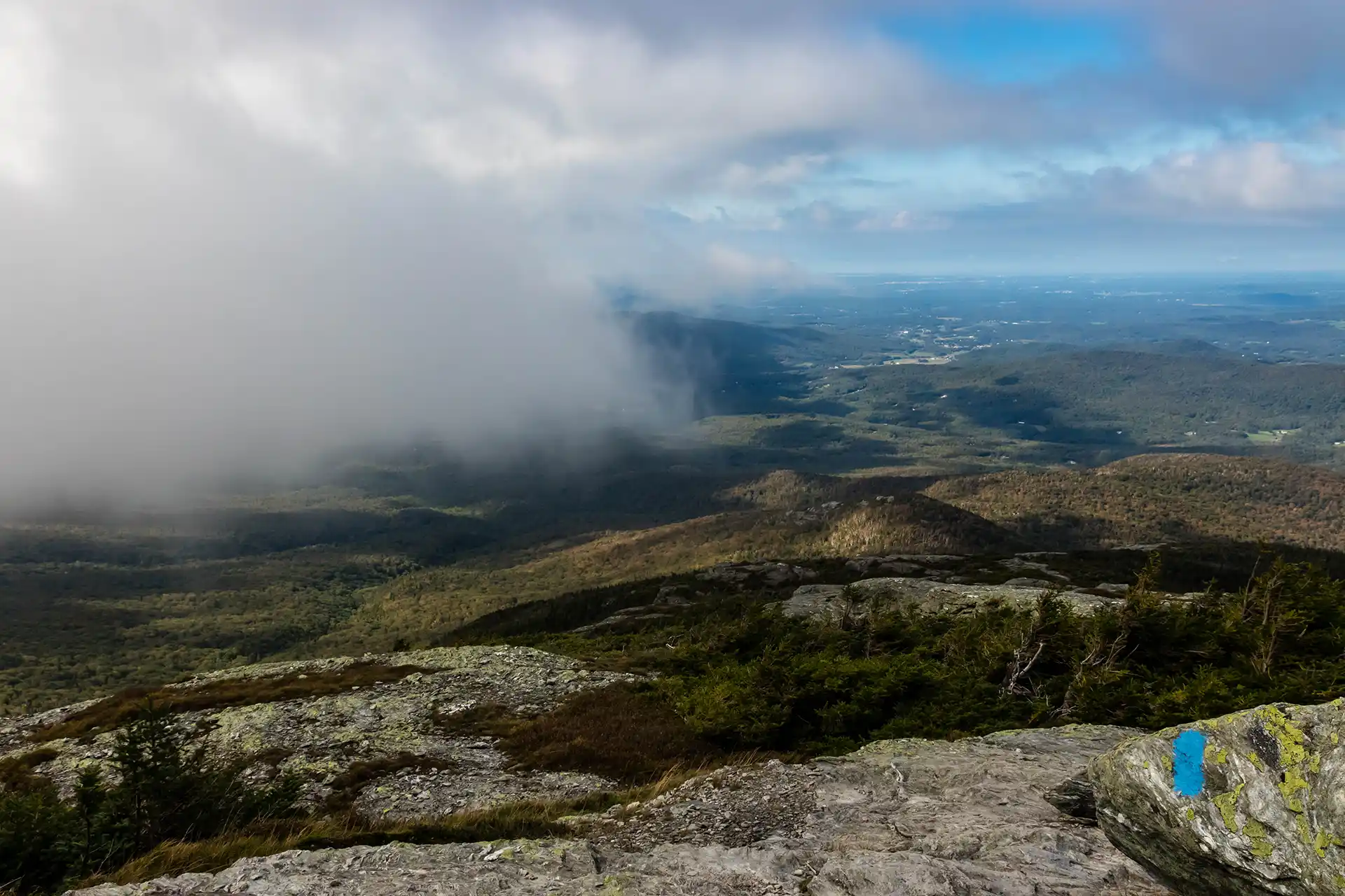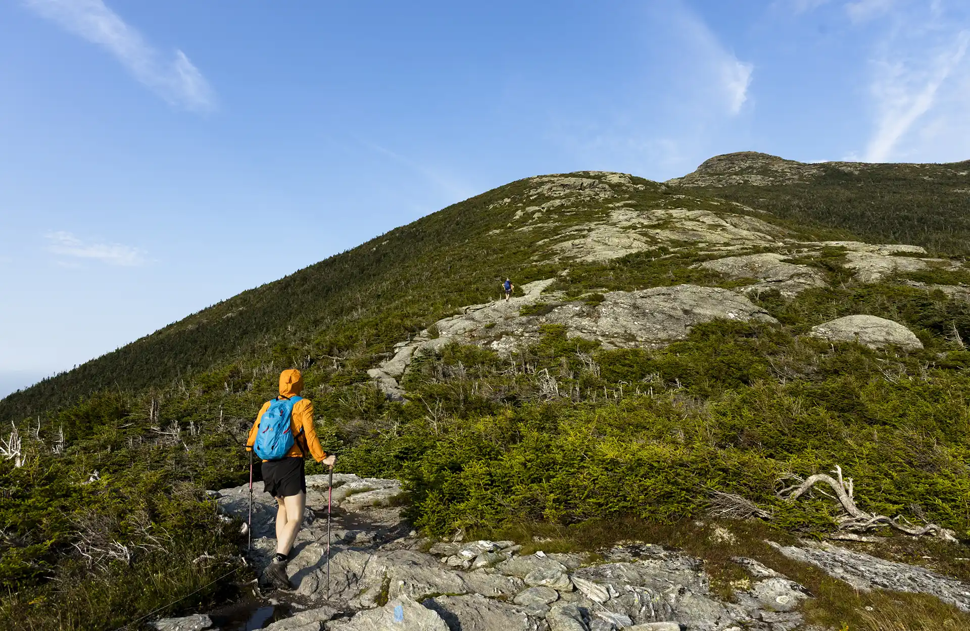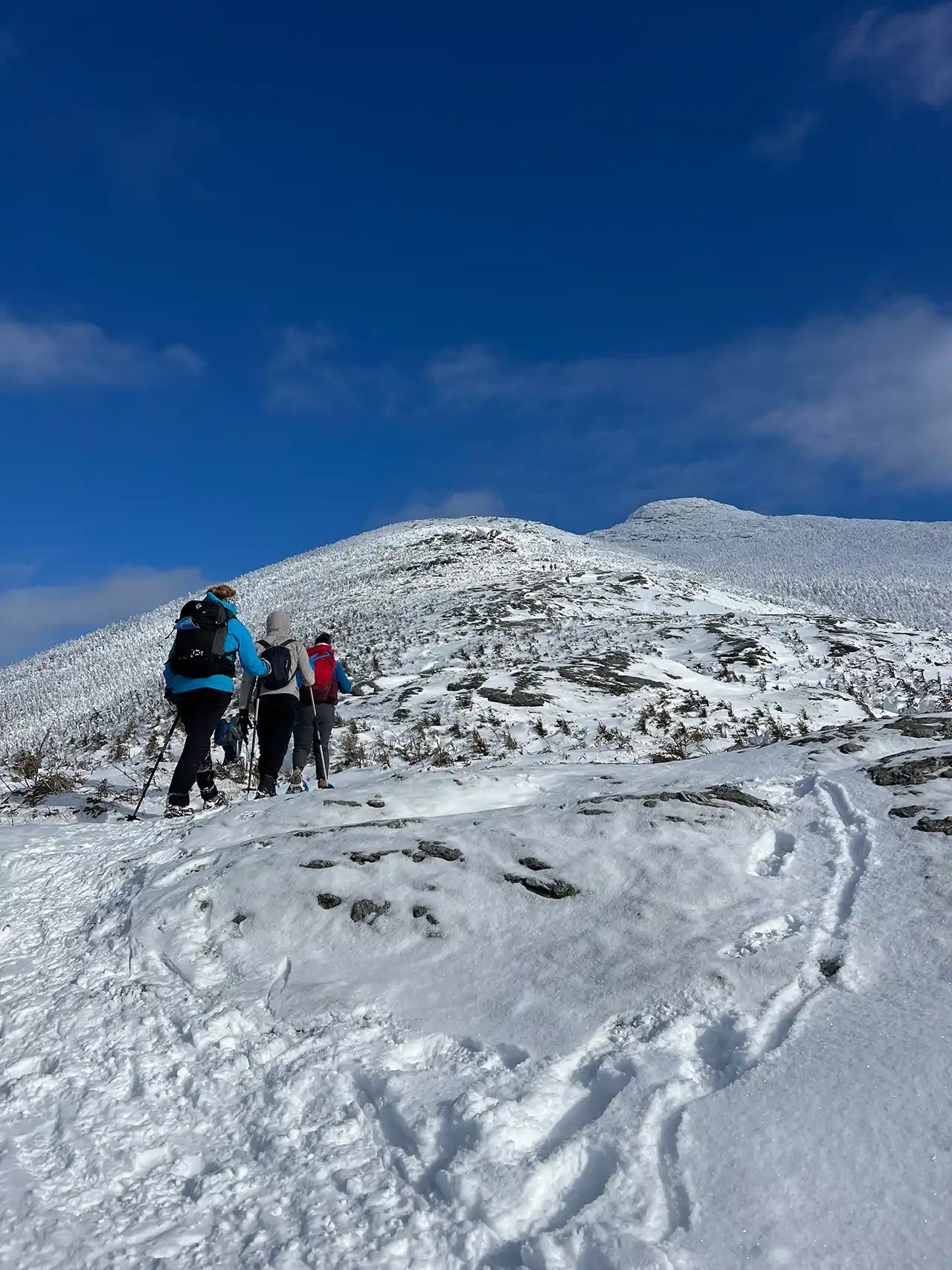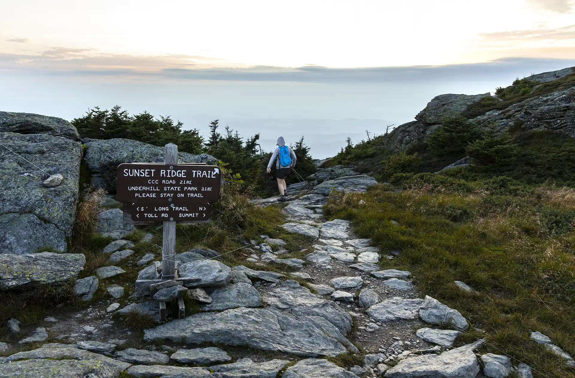
One of the busiest trails in the state, the Sunset Ridge Trail is a moderately difficult, very scenic pathway to the summit. This is the easiest route to the summit from the western side, and the recommended route down the mountain to complete a loop with Laura Cowles, Halfway House, or Maple Ridge trails.
From Underhill State Park parking area, walk along the CCC access road for about one mile. Take a left onto Sunset Ridge Trail (0.9 mi.). The trail crosses several streams, passes the beginning of the Laura Cowles Trail, and begins a steady ascent through a wooded area. Pass the side trail to Cantilever Rock on the left (1.5 mi.). Once the trail reaches the ridgeline, it continues to the summit over rocky, exposed ledges for 1.4 mi. (2.9 mi.). Use extreme caution in inclement weather. There are several short inclines that are steep, but foot and handholds are plentiful and these sections are passable by beginners.
The trail turns southward below the base of a false summit, soon intersecting with the Laura Cowles Trail, and then the Long Trail (3.0 mi.). Turning left, continue north along Long Trail North to the summit of Mount Mansfield, the Chin. The Chin is the highest point in Vermont at 4,395 ft. To return, continue back down Long Trail South to Sunset Ridge Trail for 3.2 miles (6.2 mi.) to return to Underhill State Park.
Mt. Mansfield, the tallest point in Vermont, features a long summit ridge with multiple highpoints. The ridge is said to look like the profile of a person, so its highpoints have names like the Forehead, the Nose, and the Chin (the highest point in Vermont, at 4,395’). It also has long side ridges, like Sunset Ridge. It is one of the most popular hiking destinations in Vermont and can become very crowded, drawing visitors from all over the Northeast and Quebec. In order to avoid crowds, plan to visit early in the morning or on weekdays.
There are multiple ways up to the summit of Mt. Mansfield from multiple trailheads. Please note that the trails described here leave from Underhill State Park. There are a few loop options available from the Underhill Trailhead. If planning to start and end at different trailheads, make sure to drop a car and plan for the driving distance between trailheads, which can be as much as two hours.