
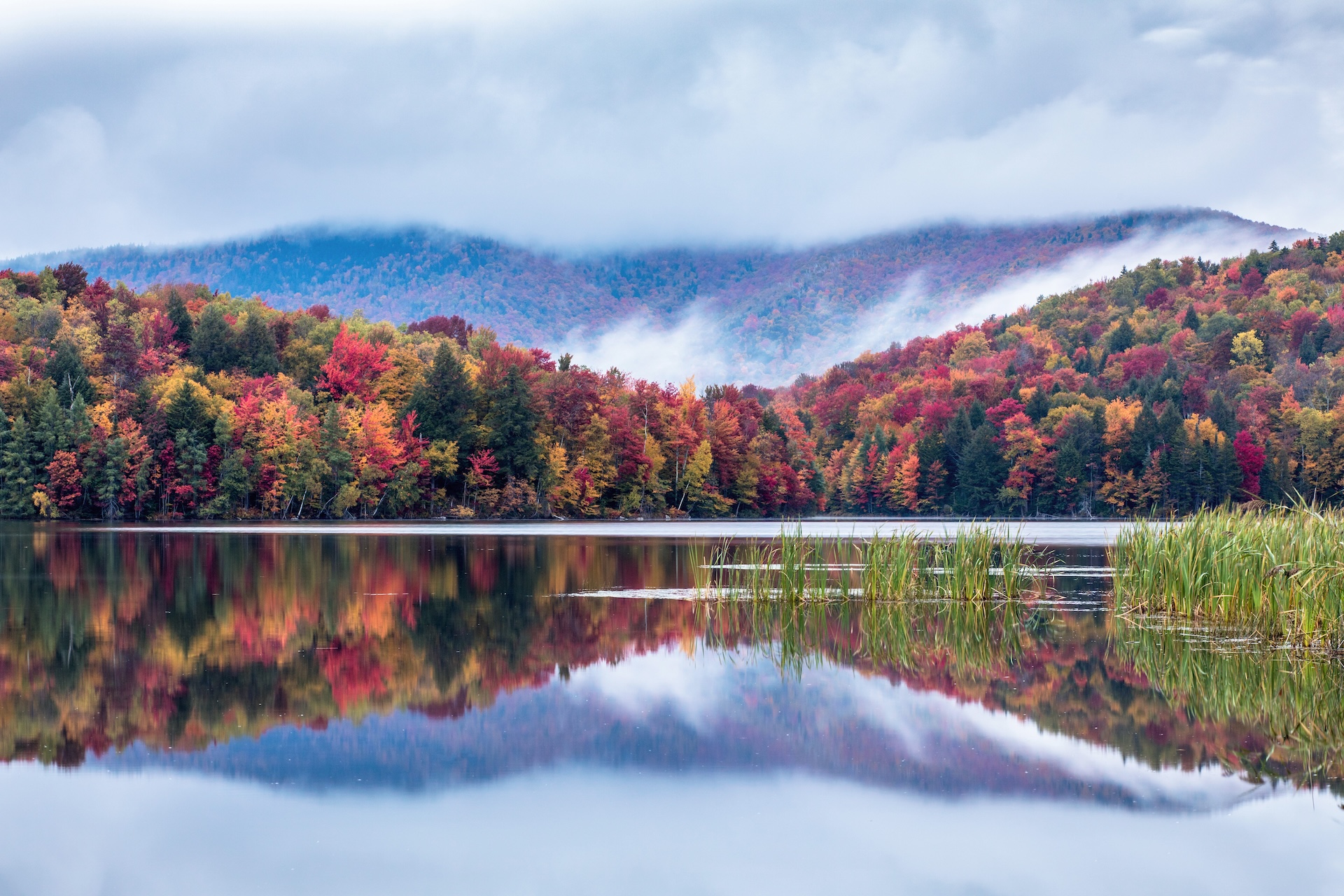
This hike follows the Appalachian Trail over the Thundering Falls Boardwalk, past the impressive Thundering Falls. Continue past the waterfall over moderate terrain to the edge of Kent Pond. Follow the trail as along the edge of the pond, ending at Rt. 100 (2.4 mi). Return on the Appalachian Trail to River Rd. Thundering Falls parking lot (4.8 mi).
Thundering Falls to Kent Pond
Description
Trail Map
Photo Gallery
Getting There
Weather Conditions
Weather in Vermont can vary widely, especially in the mountains. Exposure to heat, humidity, rain, wind, snow, cold, and/or thunderstorms can all pose a risk to the hiker. Be sure to get up-to-date weather conditions before starting your hike.


Long Trail Guide 29th Edition

Get the Map!
Mount Mansfield and the Worcester Range

Get the Map!
Camel’s Hump and the Monroe Skyline

Get the Map!
Northeast Kingdom Hiking Trail Map

Get the Map!
Killington Area Hiking Trail Map with Ascutney & Okemo