
Distance: 6-10
-
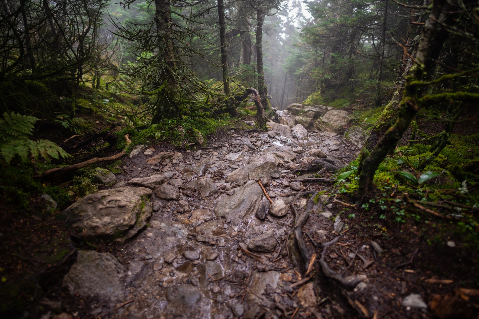
Camel’s Hump Summit via Monroe and Dean Trails
From the Monroe Parking lot, follow the blue-blazed Monroe Trail for 1.3 mi. At the first intersection take a left onto Dean Trail, continuing for 1.0 mi. to Wind Gap (2.3 mi). From Wind Gap take a right onto Long Trail North. Follow for 1.5 mi. to the summit of Camel’s Hump (3.8 m.). The summit of Camel’s Hump is one of the five tallest in Vermont at 4,083’ and offers 360-degree views to the…
-
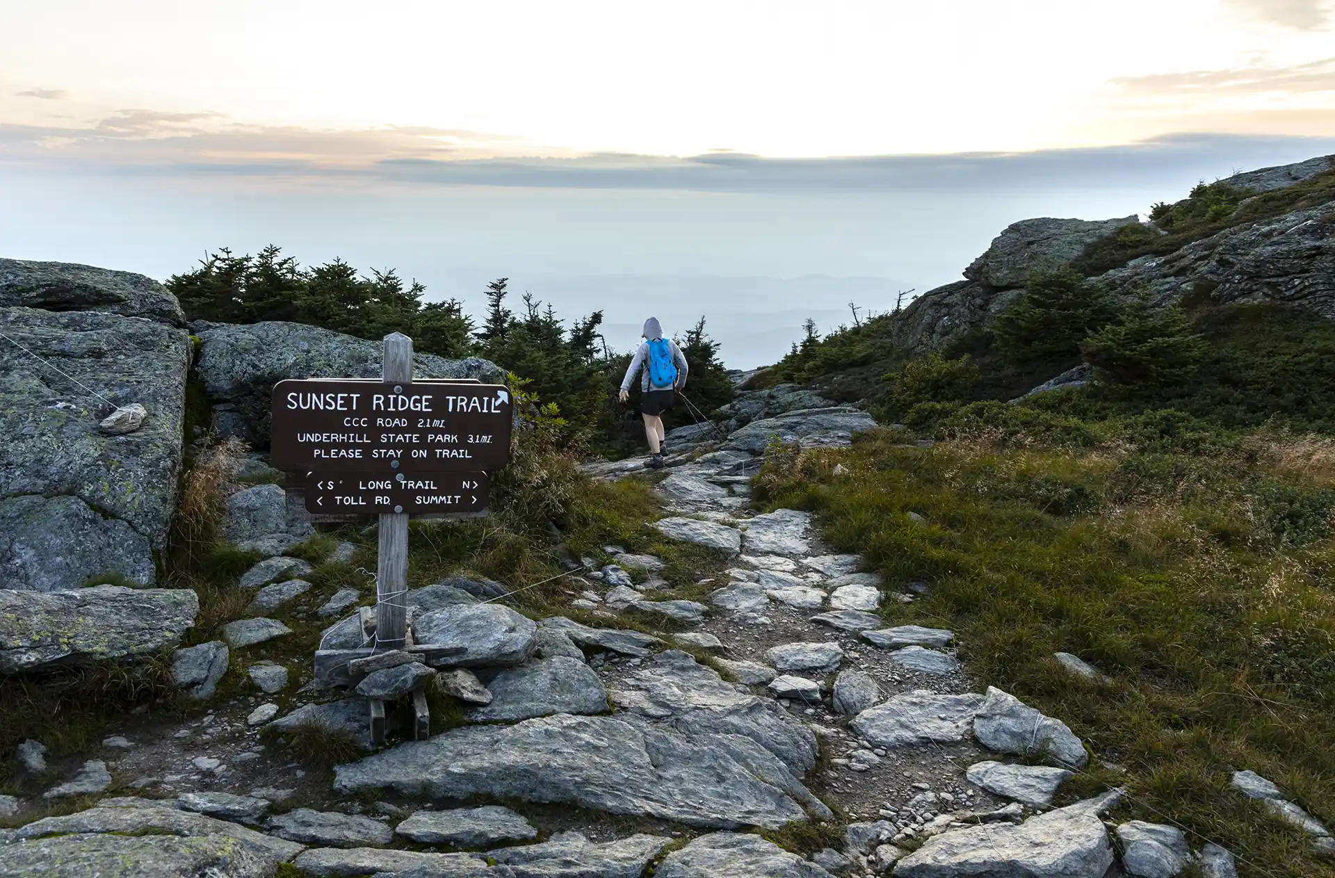
Sunset Ridge to Mansfield Summit (the Chin)
One of the busiest trails in the state, the Sunset Ridge Trail is a moderately difficult, very scenic pathway to the summit. This is the easiest route to the summit from the western side, and the recommended route down the mountain to complete a loop with Laura Cowles, Halfway House, or Maple Ridge trails. From…
-

Maple Ridge and Sunset Ridge Loop
Starting at Underhill State Park follow Park Road Trail until its intersection with the Sunset Ridge Trail and CCC Road Trail (0.9 mi.). Take a right at the intersection to follow CCC Road for 1.1 mi. (2.0 mi.). At the intersection of Maple Ridge and Frost Trail, take a left onto Maple Ridge Trail continuing…
-
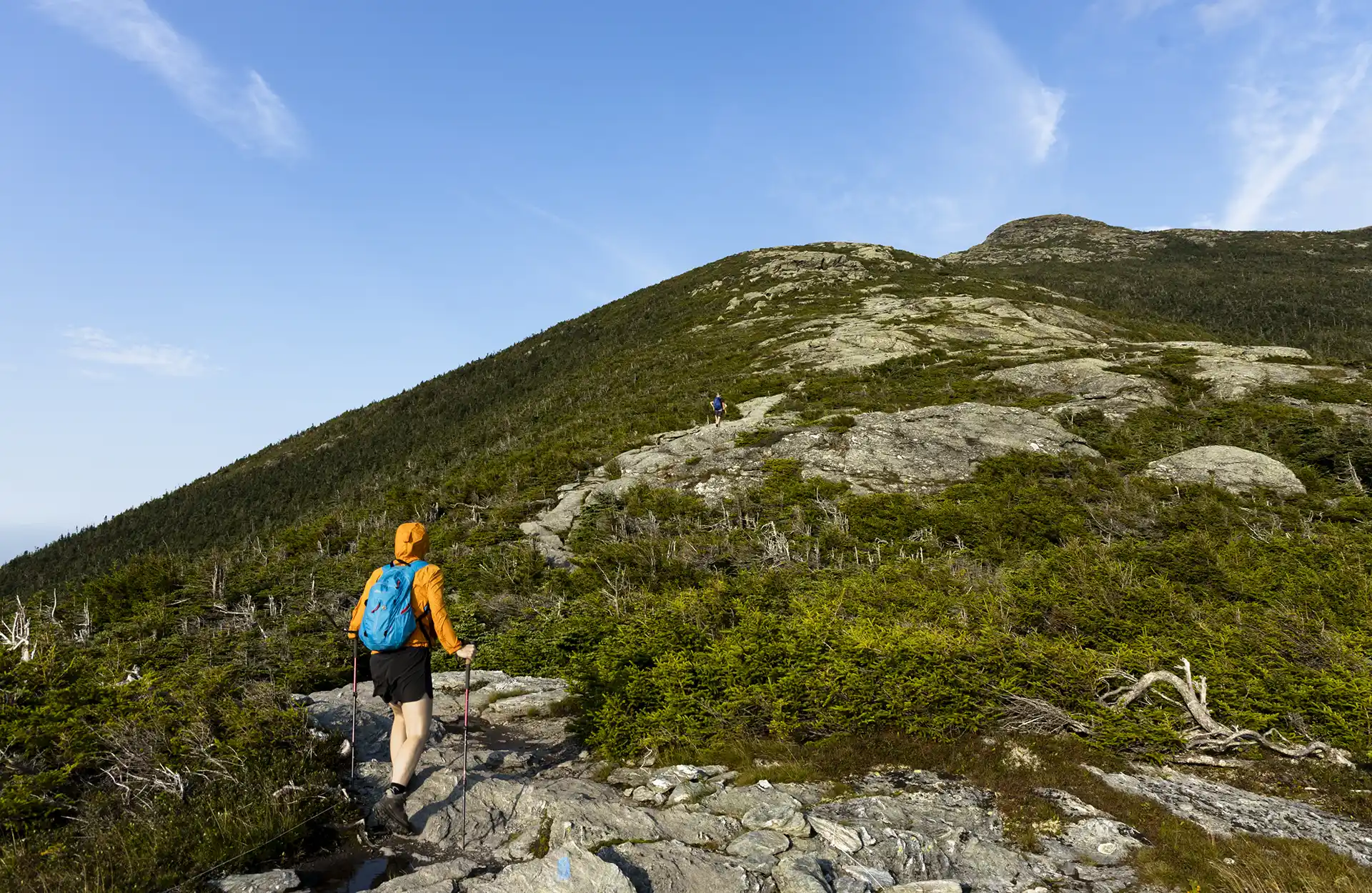
Halfway House and Sunset Ridge Loop
From Underhill State Park parking area, walk along the Park Road Trail for about one mile. Take a right onto CCC Road for 0.2 mi. (1.1 mi.).Turn left onto Halfway House Trail for 0.9 mi.(2.0 mi.). At intersection with Canyon Trail continue on Halfway House for 0.3 mi. until reaching the Long Trail (2.3 mi.).…