Hike Feature: Mud Season

  • Camel’s Hump View Trail

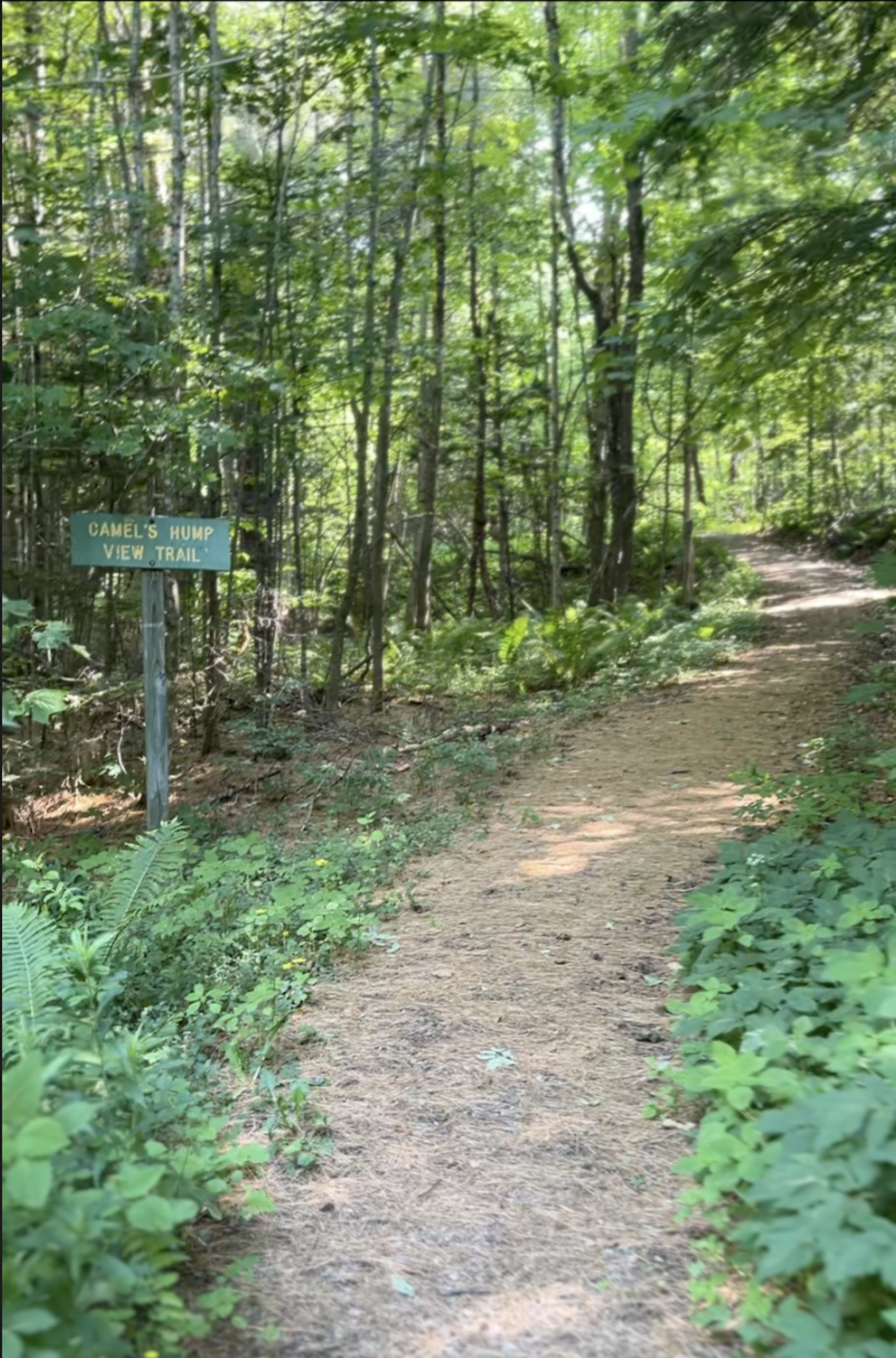
    Camel’s Hump View Trail

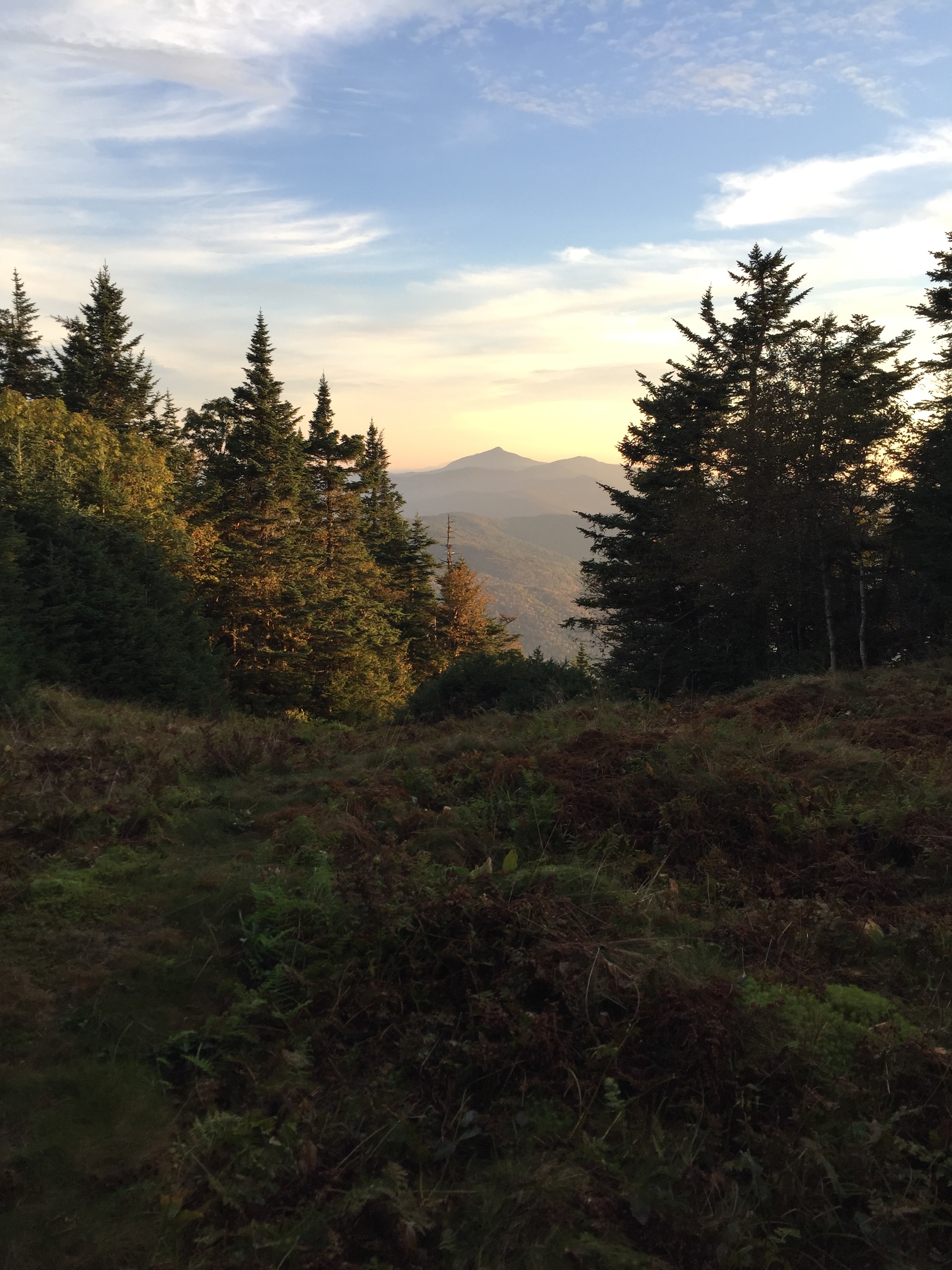
    This lollipop-style loop trail features multiple gorgeous views of Camel’s Hump, which are especially good as the leaves begin to fall in autumn. The trail also features several benches, which offer nice rest spots.  

    From the sign at the parking lot, head out on the main path. Soon you will come to a split where you can go clockwise or counterclockwise on the trail. Whichever direction you choose, be sure to stay on the wide, blue-blazed Camel’s Hump View Trail, as there is a cross-country ski trail which crosses it at one point.   

    NOTE: This is a universally accessible trail. It includes elevation changes at more substantial grades than many paved rec paths and boardwalks. The trail surface is dirt and gravel and may not be passable by wheelchairs designed for smooth surfaces, especially once fallen leaves are on the path. 

  • Stark Mountain Trail

    Stark Mountain Trail

    Start at the Mad River Glen Single Chair loading station. The Stark Mountain Trail follows a wide service road for 1.5 mi. winding up the ski area. At  the intersection with Sunnyside Trail take a right to continue for 0.9 mi. (2.4 mi.). At the intersection with the Long Trail take a right onto Long Trail North for 0.1 mi until reaching the Stark’s Nest overlook at 3,644’ (2.5 mi). To return to Mad River Glen continue back on Long Trail going south for 0.1 mi. until reaching intersection with Sunnyside Trail (2.6 mi). Continue on Sunnyside Trail for 0.9 mi (3.5 mi.) until returning to Stark Mountain Trail for another 1.5 mi. back to the parking lot (5.0 mi).  

    This hike is a good option for Mud Season, after resort operations have ceased. Please be respectful of recreating on this active ski area. More information from Mad River Glen is available here

  • Smugglers’ Notch Boardwalk

    Smugglers’ Notch Boardwalk

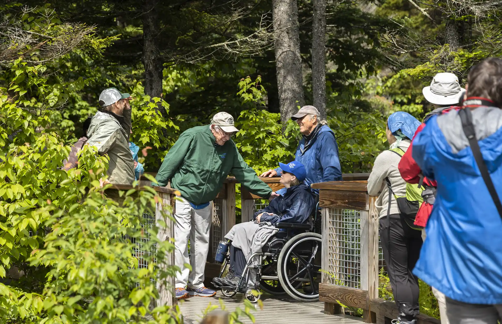
    The Smugglers’ Notch Boardwalk, part of the Long Trail, built by GMC crews in 2010, is an accessible trail through wetlands, by a beaver dam, and with beautiful views of Smugglers’ Notch. Park in the Barnes Camp parking lot or the Stowe Resort parking lot across the street. The boardwalk starts at the western end of the lot (opposite end of the parking lot from the building). The boardwalk is 5 feet wide with interpretive panels and viewpoints.

  • Nebraska Notch to Taylor Lodge

    Nebraska Notch to Taylor Lodge

    This is a good moderate day hike or beginner-friendly overnight trip.

    From Stevensville Rd. Trailhead register, take a right onto Nebraska Notch Trail and follow it for1.5 mi. Nebraska Notch Trail is a gradual climb through the woods and near streams to reach Nebraska Notch. Where Nebraska Notch and the Long Trail intersect, take a right and follow the Long Trail South for 0.3 mi (1.8 mi.). The Long Trail then intersects with Clara Bow Trail, an optional side trail climbing over and under enormous boulders through the notch, with a ladder to aide in negotiating a vertical drop. You can also continue on the Long Trail for 0.4 mi. instead of Clara Bow, both routes reach Taylor Lodge (2.2 mi.).

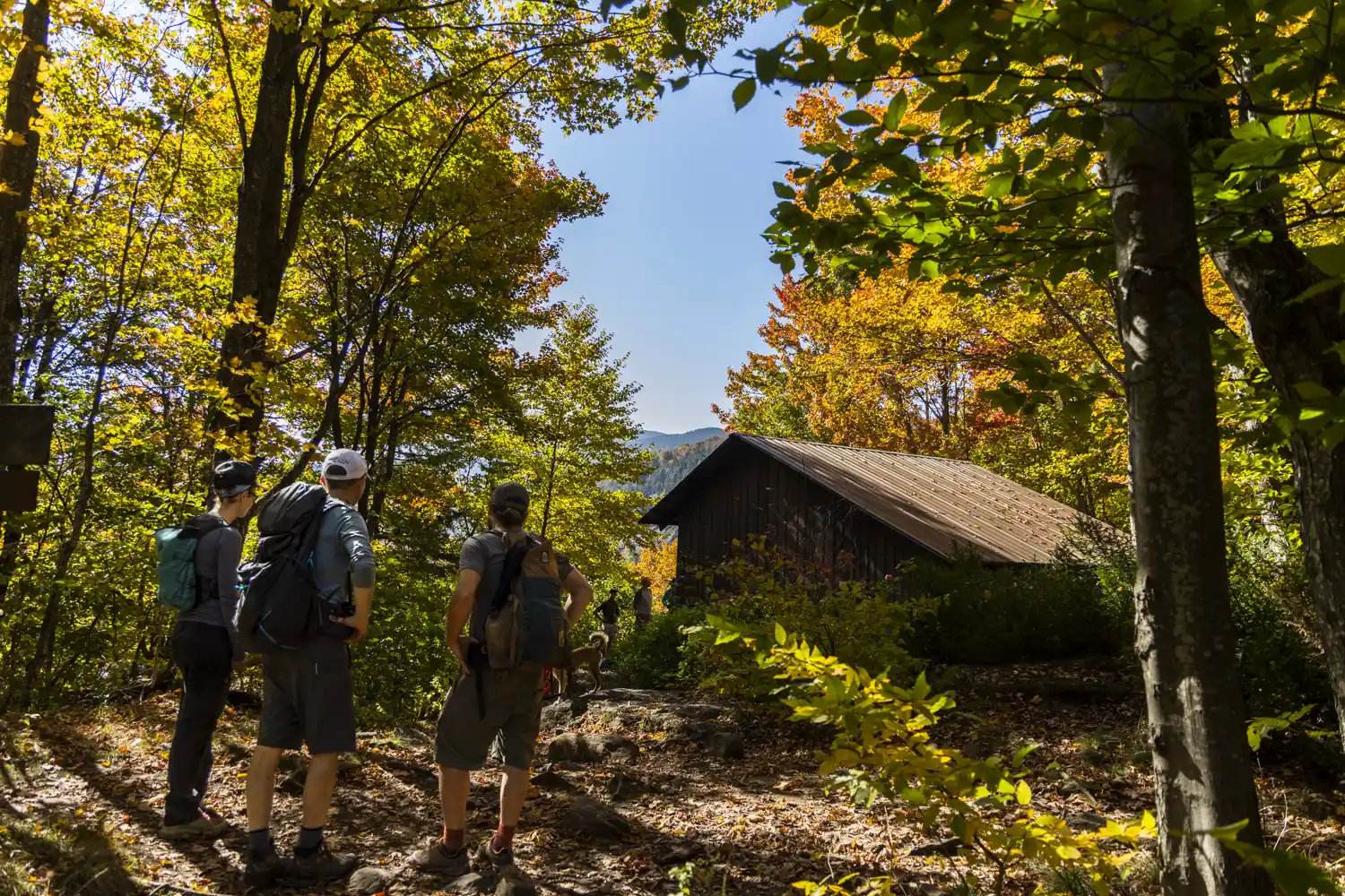
    Taylor Lodge features scenic views of a beaver pond and lovely streams. The lodge provides bunks for 6 to 12 people, along with comfortable bench tables outside. To return either take Clara Bow from the Lodge or Long Trail North (2.6 mi.) back to Nebraska Notch Trail then end at Stevensville Rd. (4.4 mi.).

  • Beaver Meadow Lodge Loop

    Beaver Meadow Lodge Loop

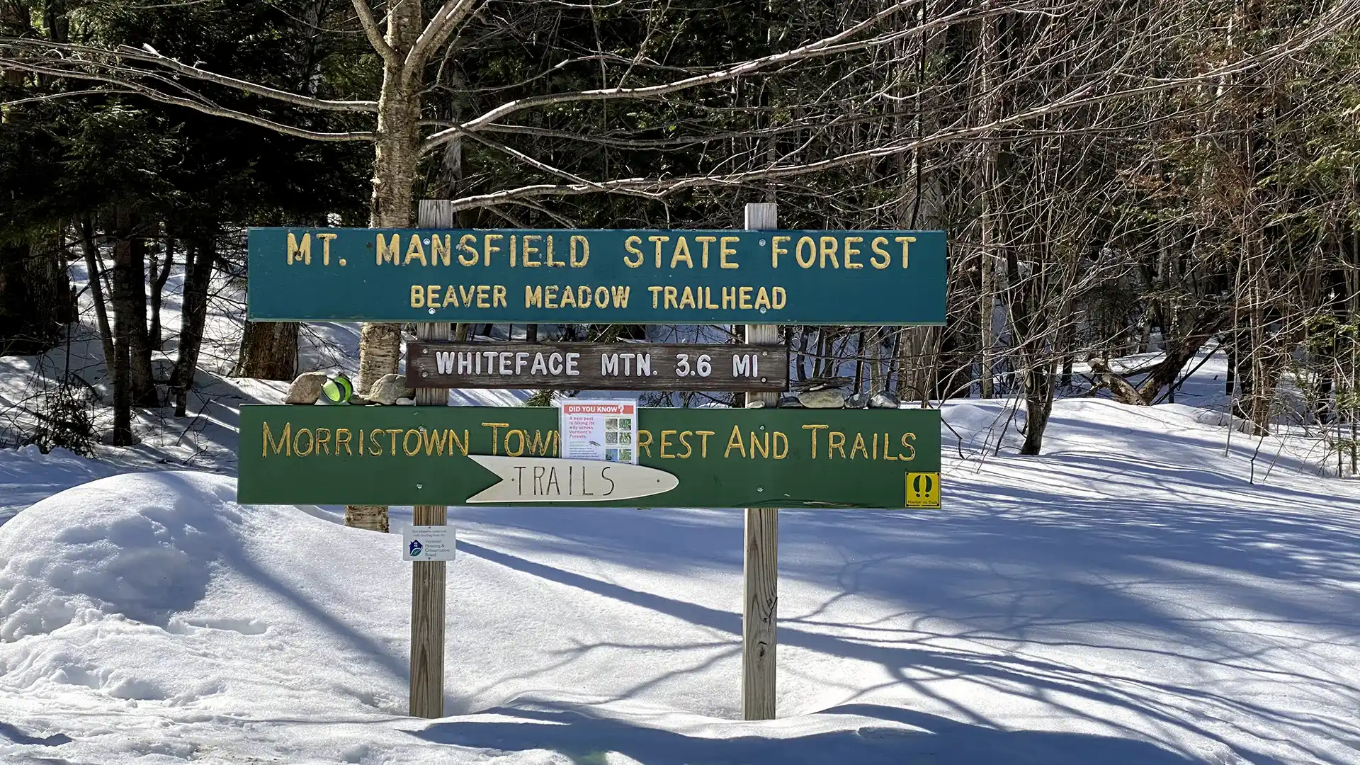
    The trail to Beaver Meadow Lodge follows an old road to a high basin surrounded by mountains on three sides and makes an excellent family hike. On a clear day, it is possible to see Whiteface Mountain to the north. Beaver Meadow Lodge is one of two shelters within the Long Trail System with a woodstove making it an excellent winter overnight spot.

    From Beaver Meadow Rd. parking lot take the Beaver Meadow Trail for 1.8 mi to an intersection with the Beaver Meadow Loop Trail. You can take this loop in either direction, but if you bear left, you will reach the Beaver Meadow Lodge and the intersection with the Chilcoot Trail (2.3 mi.) Continue around the loop, which skirts a meadow, for another 0.5 mi, then return to your car via the Beaver Meadow Trail for 1.8 mi. (4.6 mi.)

  • Barnes Camp Loop

    Barnes Camp Loop

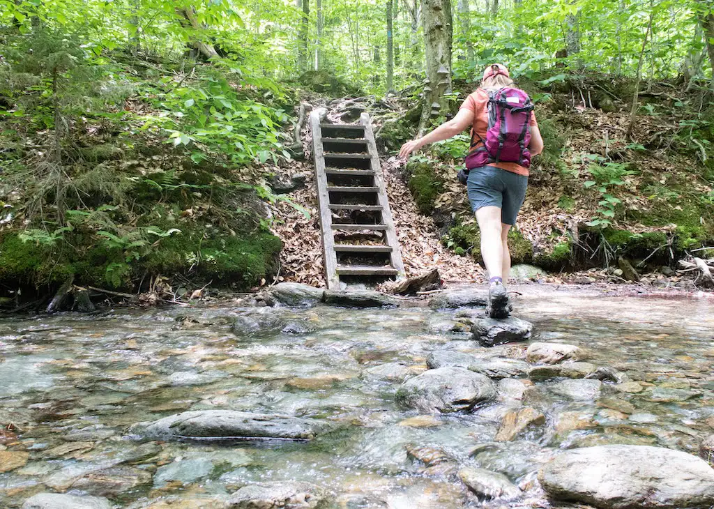
    The Barnes Camp Loop starts on the Long Trail South at the boardwalk on the northern end of the parking lot. Proceed along the boardwalk with wetland views then continue on single track Long Trail North, blazed in white. In 0.3 mi. at intersection with Long Trail South and Picnic Area, turn right toward picnic area following blue blazes. Continue for 0.3 mi. to next intersection where Smugglers Notch picnic area is 0.1 mi. straight ahead. To continue on Barnes Camp Loop, turn right following blue blazes descending steps to the West Branch Waterbury River. Then cross the river, either rock hopping or fording during low water. Note there is no bridge crossing so in high water conditions it can be difficult. After crossing the river, the trail becomes moderately steep, gaining 400 ft. In a quarter mile. In 0.3 mi. at junction with Long Trail turn right following Long Trail South and Barnes Camp signs. The trail blazes are now white. The trail continues with a moderate descent for 0.5 mi. back to Barnes Camp completing the loop.