
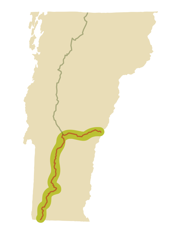
Appalachian Trail in VT
150 miles Of rolling green hills and pastures
The 2,200-mile Appalachian Trail (AT) runs from Georgia to Maine, with 150 miles in southern and eastern Vermont. GMC manages the entire AT in Vermont, working with the Appalachian Trail Conservancy and National Park Service Appalachian Trail Unit. The AT coincides with the Long Trail for 105 miles through southern Vermont.
For more information about the Appalachian Trail, contact the Appalachian Trail Conservancy.
History of the AT in Vermont
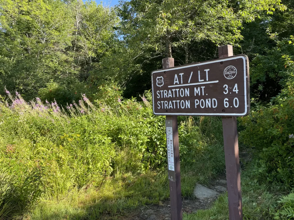
Vermont and the Long Trail hold a special place in the history of the Appalachian Trail. It was on or near the summit of Stratton Mountain during the construction of the Long Trail where Benton MacKaye had the idea to extend the scenic footpath across the ridges of the Appalachian Mountains along the East Coast.
The AT was completed in 1937, 13 years after MacKaye’s first proposal. The trail spans over 2,000 miles through 14 states, connecting Springer Mountain in Georgia with Mount Katahdin in Maine. The Appalachian Trail Conservancy, founded in 1925, works with its member clubs and federal state agencies to preserve and maintain the trail, the world’s longest linear national park.
A Shared Footpath
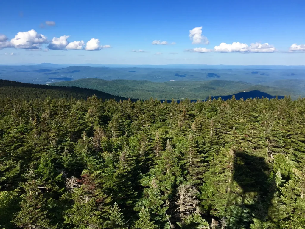
In Vermont, the AT coincides with the Long Trail beginning at the Massachusetts border, just north of Mount Greylock. The two trails are “co-located,” meaning they share a footpath for 105 miles through southern Vermont, crossing notable peaks such as Stratton and Bromley.
This portion of trail may be busy with both LT and AT thru- and section hikers, and professional backcountry caretakers are positioned at popular and ecologically fragile sites to help manage hiker impact on the land.
AT from Maine Junction to New Hampshire
The two trails split at “Maine Junction” just north of U.S. Rte. 4, with the AT swinging east as the LT continues north. The remaining 45 miles on the Vermont AT to its crossing of the Connecticut River are more moderate, providing a break between the Green Mountains and the Whites.
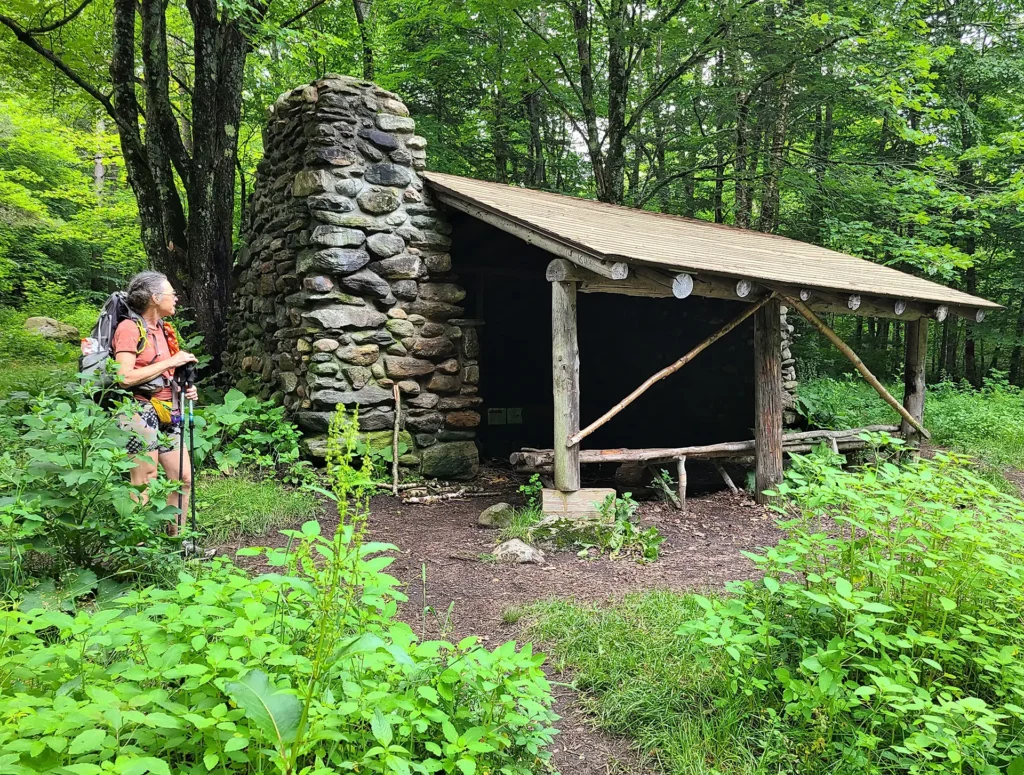
Overnight Sites on the AT in Vermont
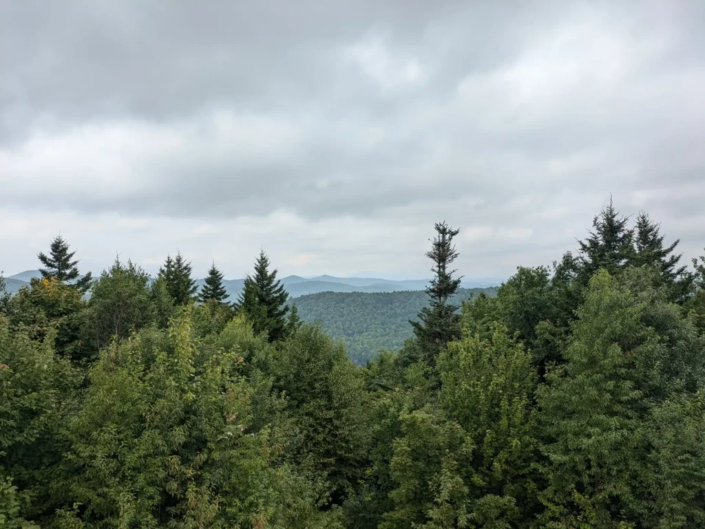
Free, first-come, first-served shelters are positioned every 5-10 miles along the entire AT in Vermont. Each has a composting privy (outhouse) and a natural, untreated water source. Many, though not all, shelters have room to set up a tent nearby (tenting is prohibited above 2,500 ft.). Some sites have a communal firepit, while fires are strictly prohibited at other sites.
Ecologically fragile sites on the AT/LT are staffed by a professional backcountry caretaker who manages the composting process at the privy, conducts general trail and site maintenance, and can offer advice and information to hikers.
The AT in Vermont runs along a narrow corridor of National Park Service (federal) land, often with private land immediately surrounding the trail corridor.
We recommend the Long Trail Guide (paperback or ebook), which includes detailed descriptions and maps of the entire AT in Vermont, for detailed usage guidelines for every overnight site on the Long Trail System.
Thru Hiking or Section Hiking the AT
Hiking the entire 2,200-mile Appalachian Trail, all at once or in sections, is a bucket list experience for many long-distance hikers. Each year, thousands begin the journey, and only about one in four completes a thru-hike. Visit the Appalachian Trail Conservancy for detailed information to help you plan and prepare for a long Appalachian Trail hike.
To hike the Vermont section of the AT typically takes about two weeks. It is 150 miles with roughly 33,000 feet of elevation gain and 34,500 feet of elevation loss. More on the AT in Vermont and multi-day hiking on the AT.

Find Your Next Hike!
Use our find a hike tool to search, filter, or browse a curated selection of day hikes and multi-day itineraries. Sort by distance, difficulty, and features like summits, camping, or bodies of water.