
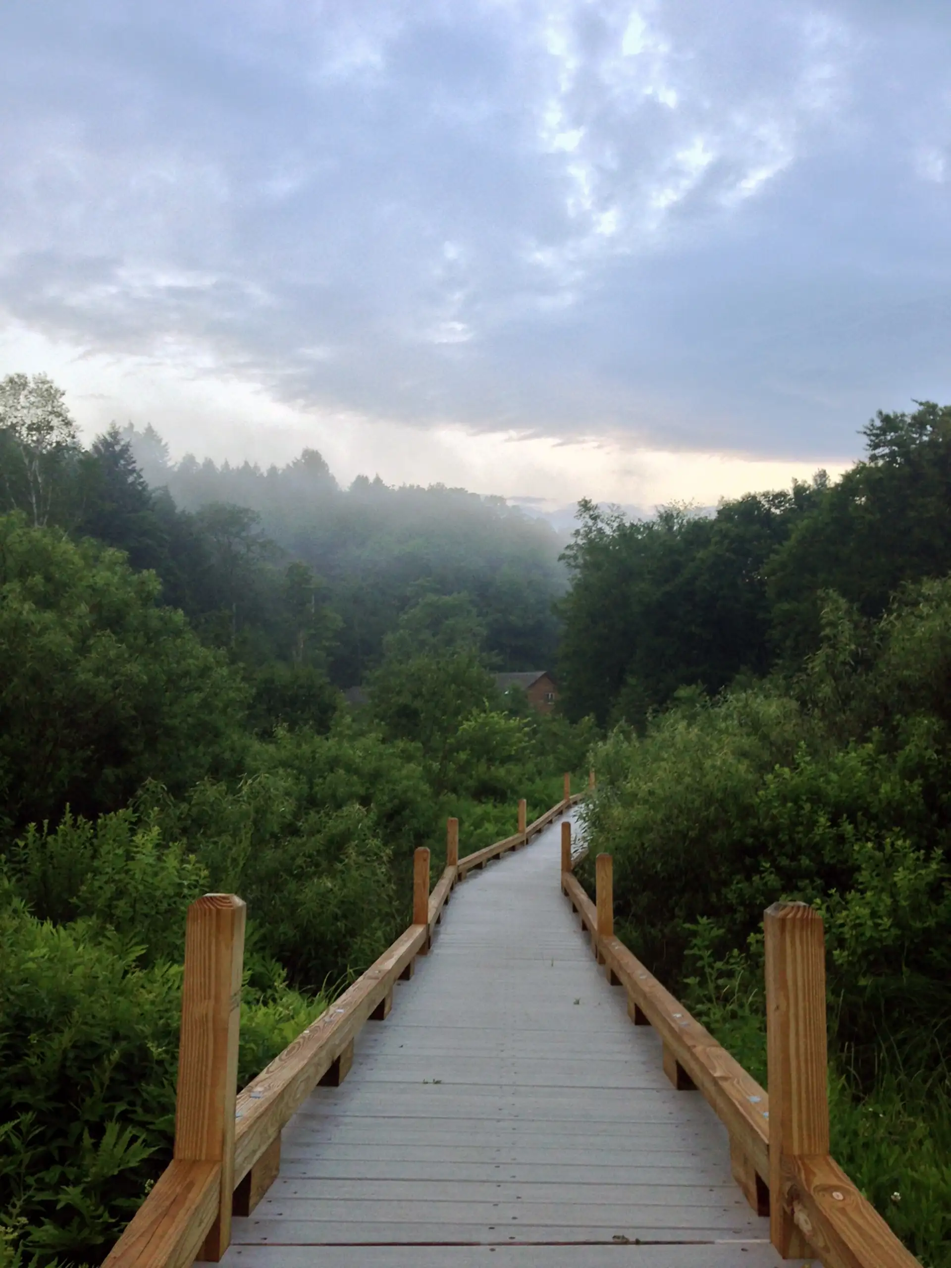
From the River Road parking area follow a 900 foot long, 3-5 foot-wide, boardwalk, and stone dust path. This trail goes along a portion of the Appalachian Trail (AT) to Thundering Falls. The boardwalk crosses over the Ottauquechee River and through the open Ottauquechee River floodplain. The trail then ascends to a viewing platform overlooking the Falls via a relatively accessible switchback and spur trail.
Thundering Falls Boardwalk
Description
Trail Map
Photo Gallery
Getting There
Weather Conditions
Weather in Vermont can vary widely, especially in the mountains. Exposure to heat, humidity, rain, wind, snow, cold, and/or thunderstorms can all pose a risk to the hiker. Be sure to get up-to-date weather conditions before starting your hike.


Long Trail Guide 29th Edition

Get the Map!
Mount Mansfield and the Worcester Range

Get the Map!
Camel’s Hump and the Monroe Skyline

Get the Map!
Northeast Kingdom Hiking Trail Map

Get the Map!
Killington Area Hiking Trail Map with Ascutney & Okemo