
Section Hike: Brandon Gap to Route 4

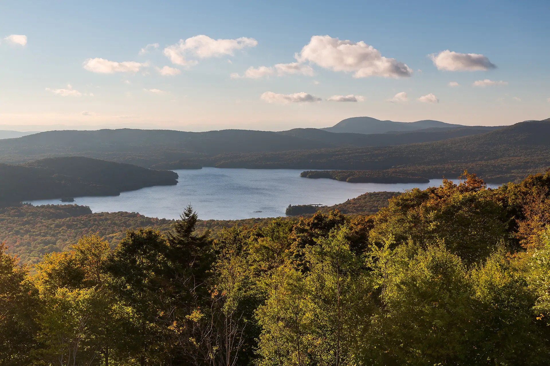
View from Rolston Rest Parcel_Kurt Budliger TPL
Region Central Vermont, Killington Area
Length 20Miles
Difficulty Moderate
Elevation Gain

3000

Vertical Feet
Type

Overnight Itinerary

Good For Backpacking

Description

This four-day, three-night, intermediate itinerary can be followed either north or south in Central Vermont, and could be modified to a 2-night trip for a more experienced backpacker. This is a great route for those who are looking to test their backcountry set up for multiple nights without too much mileage or elevation gain. It’s 20 miles total, with about 3,000 feet of total elevation gain, offering a remote feeling and views of Chittenden Reservoir.

  • Day One: Brandon Gap to Sunrise Shelter, 2.6 miles
  • Day Two: Sunrise Shelter to David Logan Shelter, 5.7 miles
  • Day Three: David Logan Shelter to Rolston Rest Shelter, 7 miles
  • Day Four: Rolston Rest Shelter to Route 4, 4.9 miles

Trail Map


Getting There

The LT crosses Route 73 9.2 mi. west of Vt. 100 just south of Rochester, 5.2 mi. east of Forest Dale, and 8.2 mi. east of Brandon from U.S. 7. There is a parking lot for thirty cars on the south side of the highway just west of the LT crossing.


wood grain texture

Long Trail Guide 29th Edition

wood grain texture
Mansfield_Map_5th_Ed

Get the Map!

Mount Mansfield and the Worcester Range

wood grain texture

Get the Map!

Camel’s Hump and the Monroe Skyline

wood grain texture
NEK2019map_web_large

Get the Map!

Northeast Kingdom Hiking Trail Map

wood grain texture
Killington2022_Map_Cover_low-res_002_large

Get the Map!

Killington Area Hiking Trail Map with Ascutney & Okemo

wood grain texture

Sign up for emails to get seasonal hiking advice




