
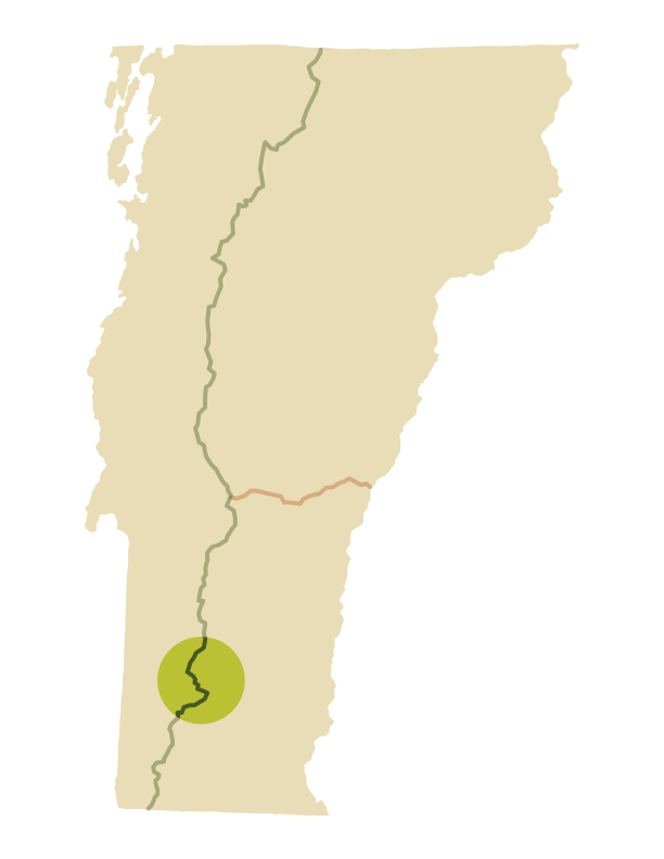
Manchester Area Trails
Idyllic Strolls in Southern Vermont
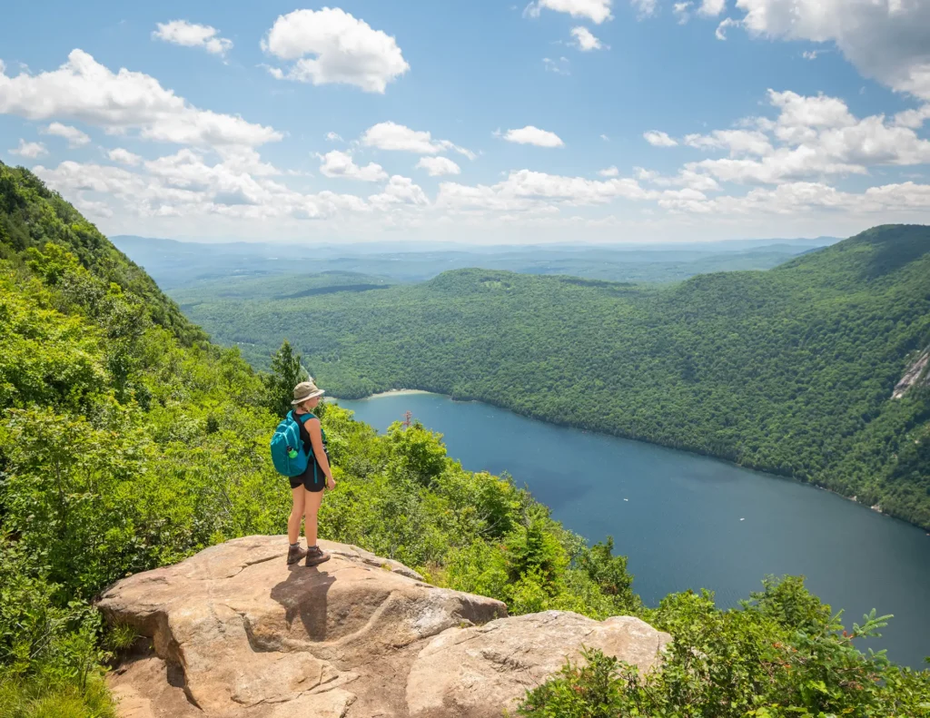
The Manchester Area, in southwestern Vermont, includes hikes to mountaintops, scenic ponds, and beautiful waterfalls. Bromley Mountain, with its newly reconstructed observation tower, offers 360-degree views of the surrounding countryside and Taconic Mountain Range. Stratton Mountain holds a venerated position in Long Trail history. And Stratton Pond, Little Rock Pond, and Griffith Lake offer gentle, family-friendly day hike or camping options beloved by families.
Manchester Area Hike Suggestions
Here are just a few we recommend (full descriptions coming soon).
- Big Branch Picnic Area
- Little Rock Pond
- Green Mountain Trail Loop
- Griffith Lake
- Baker Peak via Griffith Lake Trail
- Baker Peak via Lake Trail
- Baker Peak > Griffith Lake Loop
- Branch Pond
- Stratton Pond Trail
- Stratton Pond Loop (Long Trail > Stratton Mountain > Stratton Pond Trail)
- Bromley Mountain via Long Trail
- Prospect Rock (Manchester)
- White Rocks via Long Trail South

Explore Other Hiking Areas
Be Prepared with the Long Trail Map
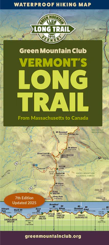
The Manchester Area Map is currently out of stock and needs to be updated and reprinted. You can find all these trails on the Long Trail Map, though. We recommend always carrying a paper map and compass, as technology can fail and cell phone batteries can die. The map is also available in digital version from Avenza.
Mountain Weather
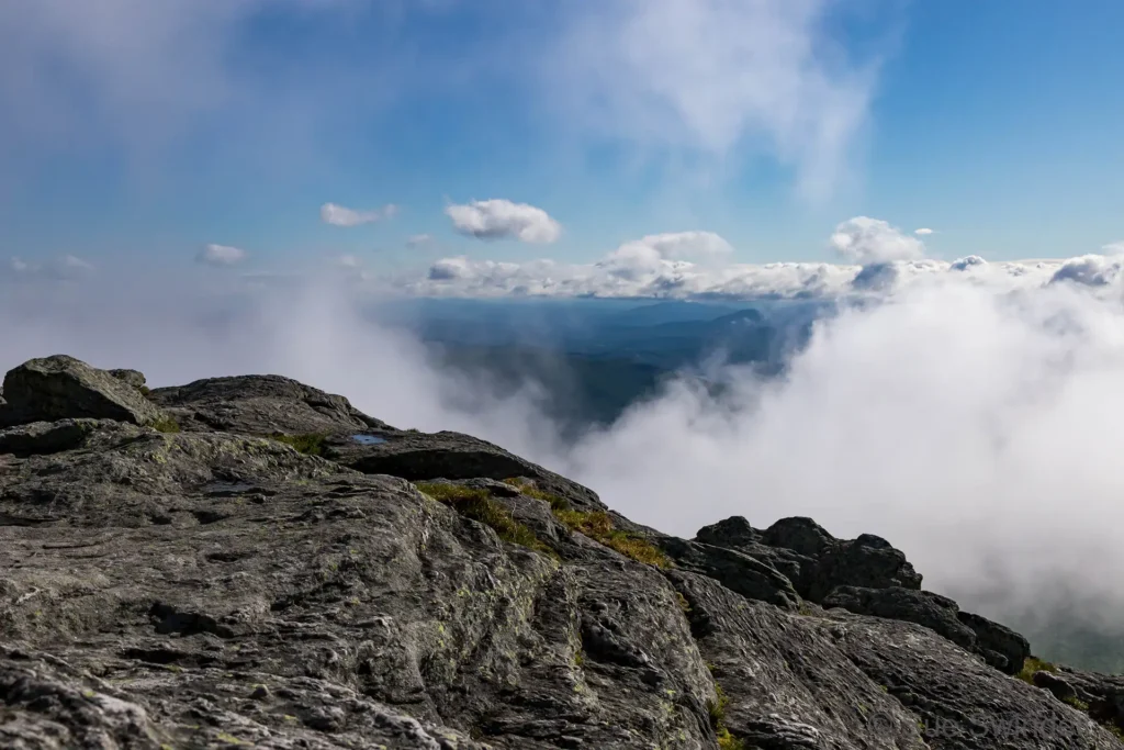
Many of these hikes are strenuous and mountain weather can change quickly. Always check the near-term mountain weather forecast for your hike before you begin, and pack or alter plans accordingly. We recommend the National Weather Service’s Summit Forecasts and mountain-weather.com.