
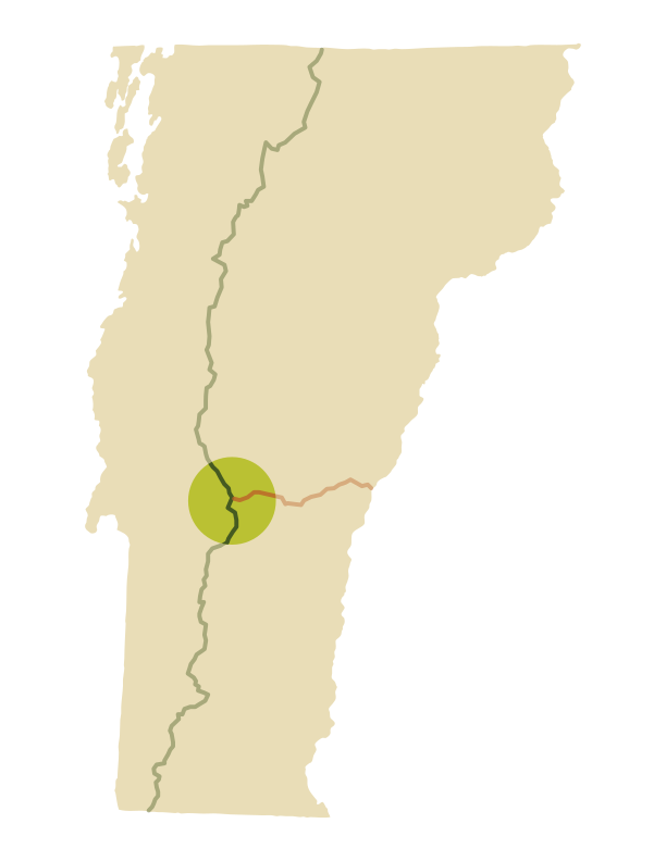
Killington Area Trails
Explore Vermont’s Recreation Nexus
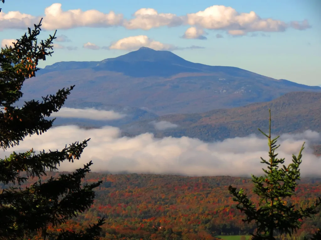
Killington Mountain is one of Vermont’s five 4,000-foot peaks, and the only one the Long Trail does not directly summit — it is reached by a short, steep spur trail. It’s also the highest point on the Vermont Appalachian Trail, before the AT branches east through gentler terrain.
The Killington Area is home to many beloved hikes for all ages and abilities, including an accessible boardwalk to Thundering Falls.
Killington Area Hike Suggestions
Here are just a few we recommend (full descriptions coming soon).
- Brandon Gap to Route 4 (Overnight Itinerary)
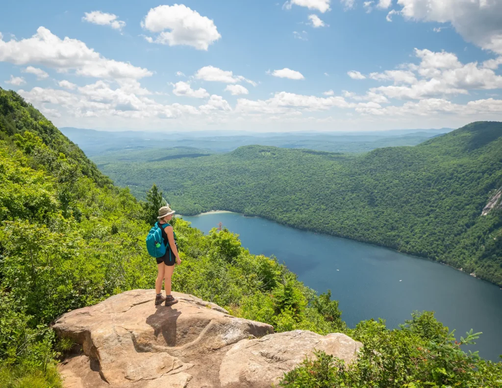
- Deer Leap Loop
- Bald Mountain
- Thundering Falls to Kent Pond
- Thundering Falls Boardwalk
- Killington Summit via Bucklin Trail
- Killington Summit via Sherburne Pass Trail
- Pico Peak via Sherburne Pass Trail
- Shrewsbury Peak Trail
- Visit Maine Junction, where 3 Long Distance Trails meet
- New Boston Trail to David Logan Shelter

Explore Other Hiking Areas
Be Prepared with the Killington Area Hiking Map
GMC’s Killington Area Hiking Trail Map, 2nd edition, 2022, highlights the spectacular hiking around Killington Peak, including Pico, Dear Leap and the Appalachian Trail to Thundering Falls accessible boardwalk. It also includes detailed maps of Mount Ascutney and Okemo State Forest on the reverse side. The map has directions to trailheads with GPS coordinates, trail mileages, and trail difficulty ratings.
GMC recommends always hiking with a paper map, as cell phones and digital assets can fail in the backcountry.

Mountain Weather
Many of these hikes are strenuous and mountain weather can change quickly. Always check the near-term mountain weather forecast for your hike before you begin, and pack or alter plans accordingly. We recommend the National Weather Service’s Summit Forecasts and mountain-weather.com.