Killington Summit via Bucklin Trail

Region Central Vermont, Killington Area
Length 7.2Miles
Difficulty Difficult
Elevation Gain

2525

Vertical Feet
Type

Out-and-Back

Good For 4,000 Footers, Day Hiking, Summits, Views

Description

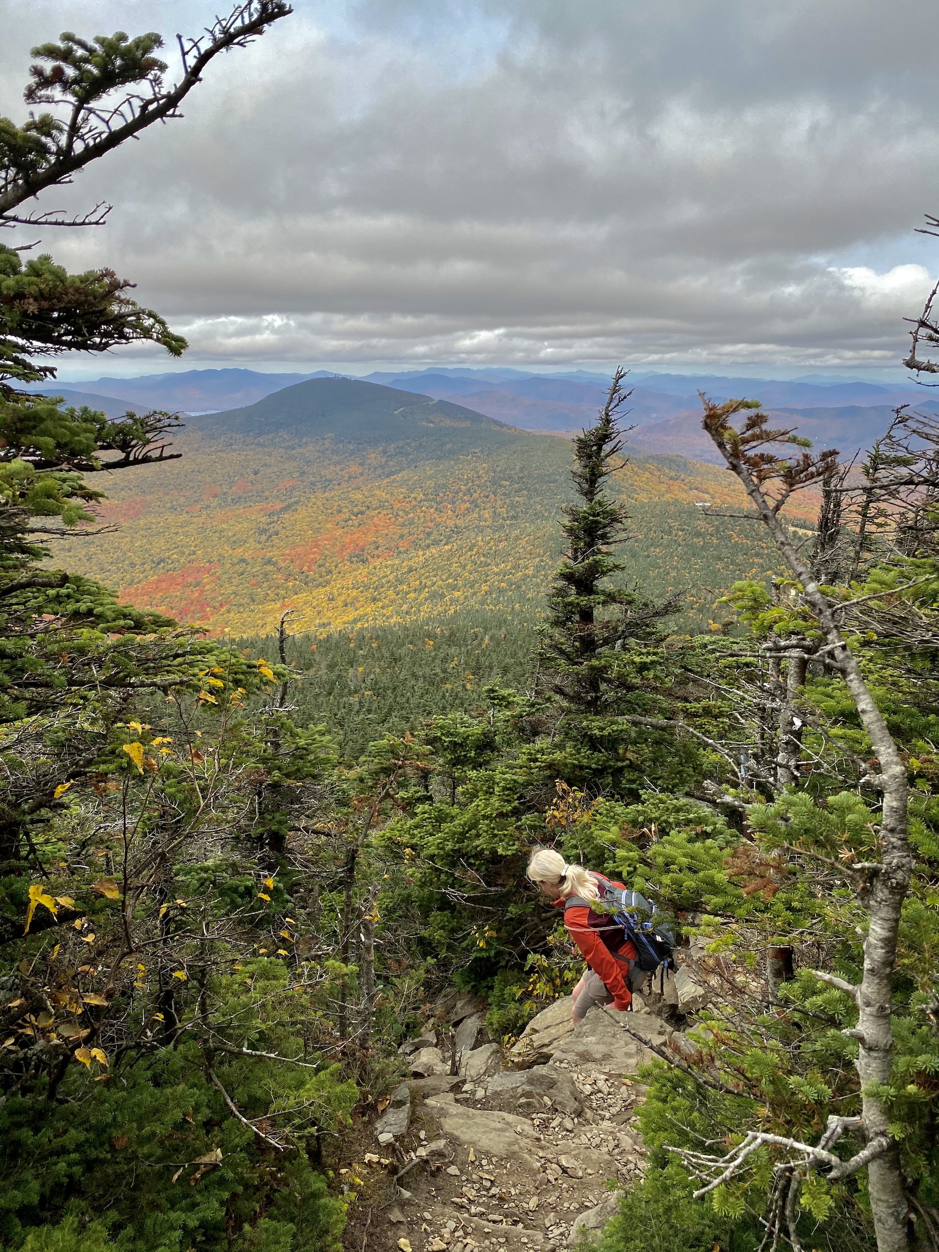
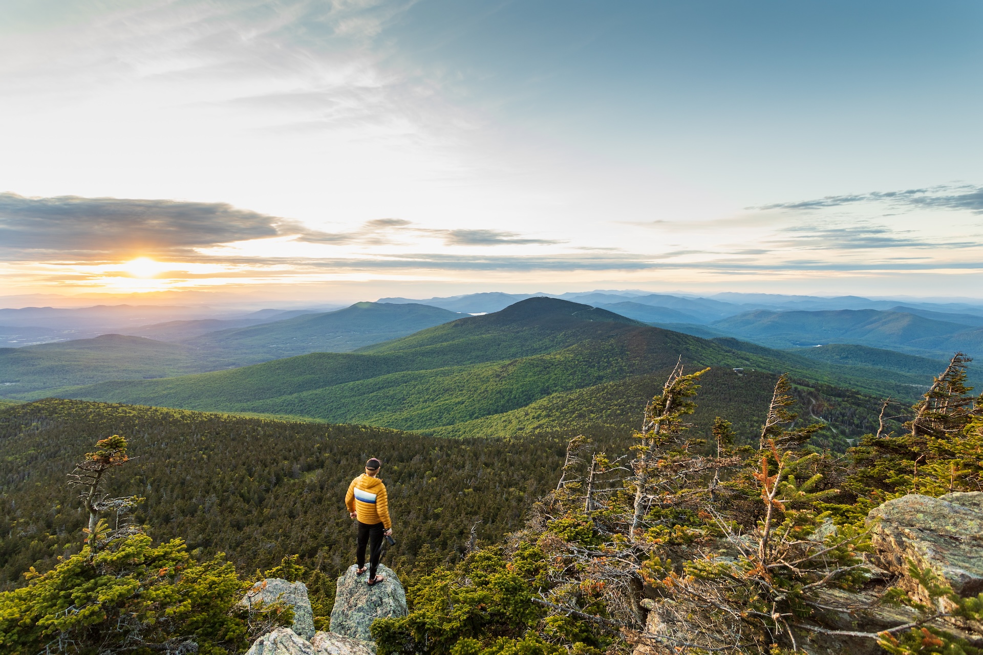
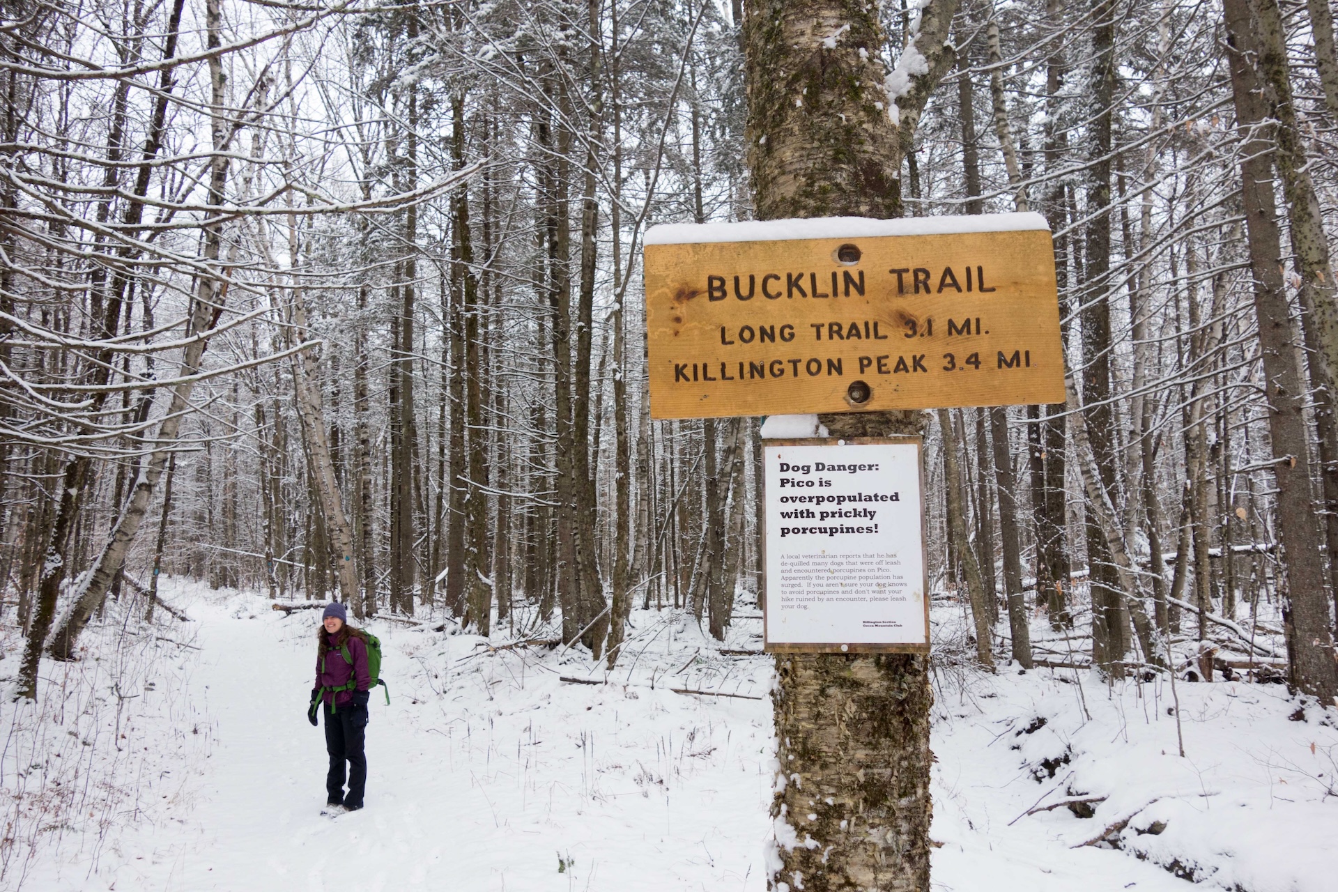
Killington (4235′) is the highest peak in the Coolidge Range. The Bucklin Trail is located on the western side and is the most direct approach to the summit.  

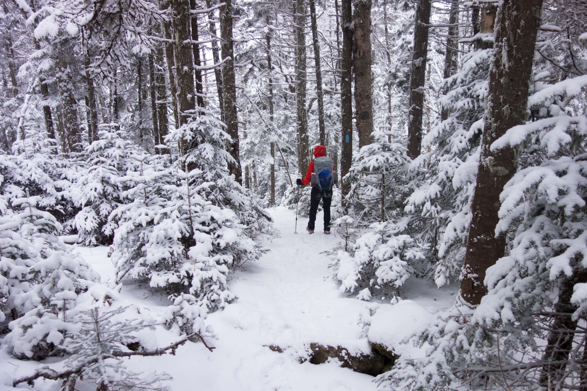
At Brewer’s Corners parking lot navigate to the Bucklin Trail. The trail gradually follows an old road for about 2 miles before leaving the road and beginning a steadier climb to intersect with the Long Trail (3.3 mi). Turn right to follow the Long Trail south for a short distance to Cooper Lodge. Cooper Lodge is the highest overnight structure on the Long Trail at 3,900’. After the lodge, take the spur trail on the left to reach the summit. The spur trail is only 0.2 mi to the summit, but is extremely steep and may require some scrambling. The open, rocky summit affords fantastic 360 views (3.6 mi). To return, take the spur trail back down to Cooper Lodge, continuing onto the Long Trail till meeting up with Bucklin (7.2 mi). 

Trail Map


Getting There

From Sherburne Pass on U.S. 4 in Killington: Travel 4.3 miles west, turn left onto Wheelerville Road. Follow this twisting gravel road 4.0 miles to a right turn, which is Brewers Corners. There is ample plowed parking at the trailhead just west of the corner. Do not block the gate on the old Killington Carriage Road that leads south from Brewers Corners.

From Rutland: From South Main St. (U.S. 7 South), turn onto Killington Ave. at a traffic light 0.5 mile south of the junction with U.S. 4 east. Turn right at the end of Killington Ave. onto Notch Road. After a steep climb, the pavement ends and shortly Wheelerville Road forks left from Notch Road. From the fork, it is 3.1 miles northeasterly to Brewers Corners. 


wood grain texture

Long Trail Guide 29th Edition

wood grain texture
Mansfield_Map_5th_Ed

Get the Map!

Mount Mansfield and the Worcester Range

wood grain texture

Get the Map!

Camel’s Hump and the Monroe Skyline

wood grain texture
NEK2019map_web_large

Get the Map!

Northeast Kingdom Hiking Trail Map

wood grain texture
Killington2022_Map_Cover_low-res_002_large

Get the Map!

Killington Area Hiking Trail Map with Ascutney & Okemo

wood grain texture

Sign up for emails to get seasonal hiking advice