
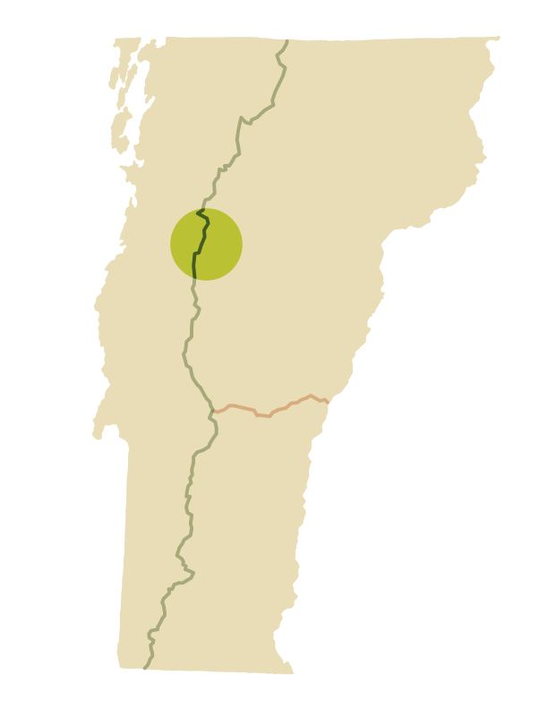
Mount Mansfield Area Trails
To Vermont’s Highest Point and Largest Alpine Zone
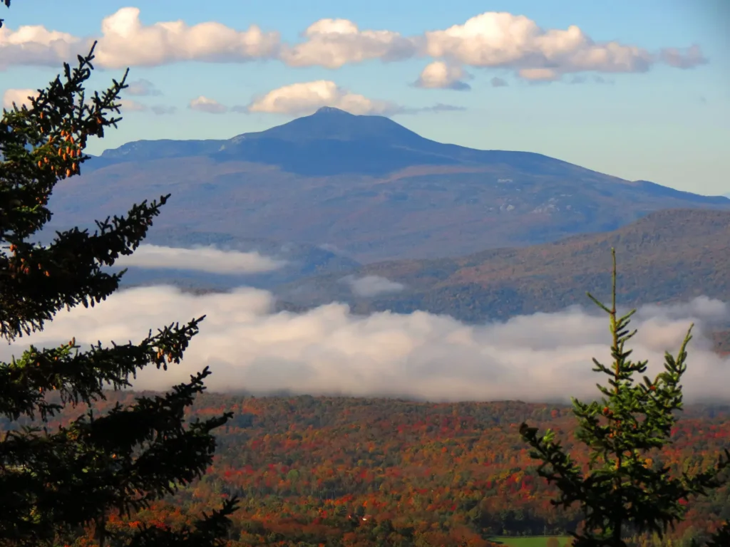
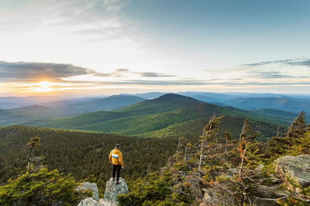
Mount Mansfield, also known as Mozôdebiwajok, is an iconic ridgeline that is home to both Vermont’s highest point (the Chin, 4,395’) and its largest alpine ecological community, with approximately 100 acres of rare and vulnerable alpine plants remaining. Your care and cooperation is needed to protect these rare species from damage from human footsteps.
Mount Mansfield is home to a complex network of summit trails that wind through caves, over cliffs, and into legendary backcountry terrain. We strongly recommend purchasing a paper Mansfield Area Map to familiarize yourself with these trails and our favorite Mansfield hikes.
Mansfield Area Hike Suggestions
Mansfield itself is home to 28 different trails – from the Long Trail, which hugs its highest ridgeline, to the short yet treacherous Profanity Trail to the aptly named Cliff Trail and to the more leisurely Lake Mansfield Trail on the mountain’s southern slope.
Here are just a few we recommend.
From the West side of Mount Mansfield (Underhill Trailhead and Stevensville Trailhead)
- Sunset Ridge Trail > Long Trail North to Summit/Chin
- Sunset Ridge Trail > Long Trail North to Summit/Chin > Long Trail South > Halfway House (Loop)
- Sunset Ridge Trail > Long Trail North to Summit/Chin > Long Trail South > Maple Ridge (Loop)
- Laura Cowles Trail > Long Trail North to Summit/Chin > Sunset Ridge Trail (Loop)
- Frost Trail > Rock Garden to Butler Lodge
- Butler Lodge Trail > Wampahoofus > Maple Ridge to Forehead
- Nebraska Notch Trail > Long Trail South to Taylor Lodge
From the East Side of Mount Mansfield
- Sterling Pond Trail
- Elephant’s Head Cliff Trail
- Hell Brook Trail to Adam’s Apple > Long Trail South to Summit/Chin
- Mansfield Summit, via Stowe Gondola (Cliff House Trail)
- Long Trail South to Mansfield Summit/Ridge to Haselton Trail (Loop)
- Mansfield Visitor Center and Ridgeline, via Stowe Toll Road
- Lake Mansfield Trail
- Barnes Camp Loop
- Smugglers’ Notch Boardwalk (Accessible Trail)
Other Trails in the Area

Explore Other Hiking Areas
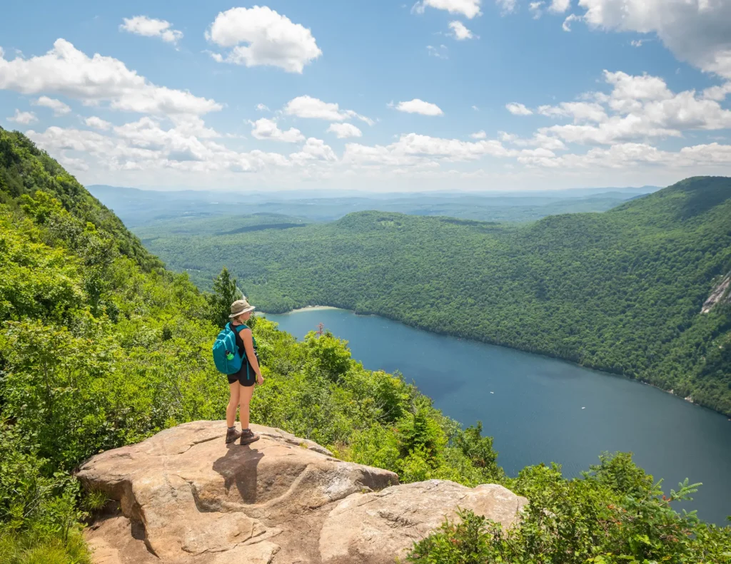
Be Prepared with the Mansfield Area Hiking Map
GMC’s Mount Mansfield Area Map, 5th Edition, shows the numerous side trails along the Mansfield Ridgeline in great detail, including mileages and difficulty ratings. It also includes hikes in the Worcester Range, such as Stowe Pinnacle and Mount Hunger. The Worcester Range is outside of the Long Trail System and managed by the Vermont Department of Forests, Parks, and Recreation.
GMC recommends always hiking with a paper map, as cell phones and digital assets can fail in the backcountry.

Mountain Weather
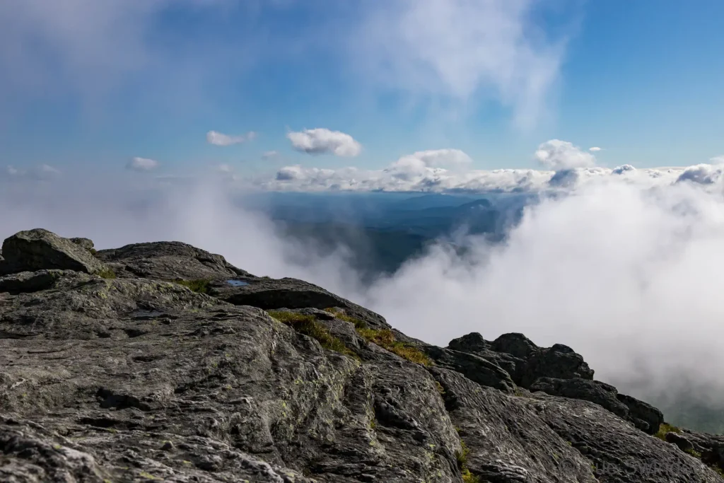
Many of these hikes are strenuous and mountain weather can change quickly. Always check the near-term mountain weather forecast for your hike before you begin, and pack or alter plans accordingly. We recommend the National Weather Service’s Summit Forecasts and mountain-weather.com.