
Northeast Kingdom Trails
Vermont’s Rugged and Remote Recreation Region
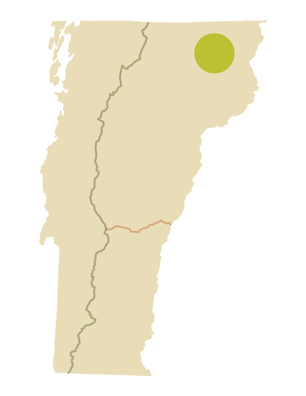
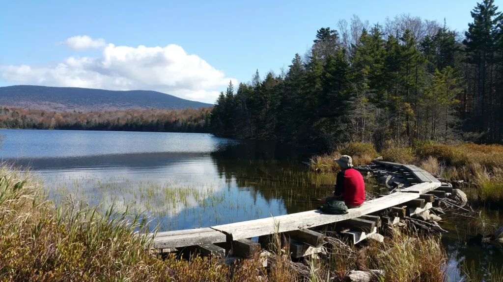
With its cultural heritage rooted in forestry and agriculture, and dramatic scenery including the sheer glacially-carved cliffs surrounding crystal clear Lake Willoughby, the Northeast Kingdom holds a hiking identity all its own. Explore the interconnected Kingdom Heritage Trails system, brought to life by the Green Mountain Club in the 2010s, or rent one of GMC’s rustic cabins on the shores of Wheeler Pond. Many of the trails below are managed in partnership with the Vermont Department of Forests, Parks and Recreation, the Northwoods Stewardship Center, and volunteers with GMC’s Northeast Kingdom Section.
Suggested Northeast Kingdom Hikes
- Brousseau Mountain, Norton
- Bluff Mountain, Island Pond
- Haystack Mountain Loop, Westmore
- Wheeler Mountain, Barton
- Sentinel Rock Trail, Westmore
- Mt. Pisgah
- Mt Hor
- Silvio O. Conte Boardwalk
- CCC Road
- Burke Mountain
Just Outside the NEK, on the Long Trail
- Jay Peak
- Belvidere Mountain
- Devil’s Gulch
Be Prepared with the Northeast Kingdom Hiking Map
GMC’s Northeast Kingdom Hiking Map includes the Kingdom Heritage Trail on Middle Mountain and Bluff Ridge trails near Wheeler Mountain. It also includes trails around Lake Willoughby and Wheeler Pond, plus Burke, Gore, Bluff, Brousseau and Averill Mountains. The map includes directions to trailheads and trail difficulty ratings.
GMC recommends always hiking with a paper map, as cell phones and digital assets can fail in the backcountry.


Explore Other Hiking Areas
Mountain Weather
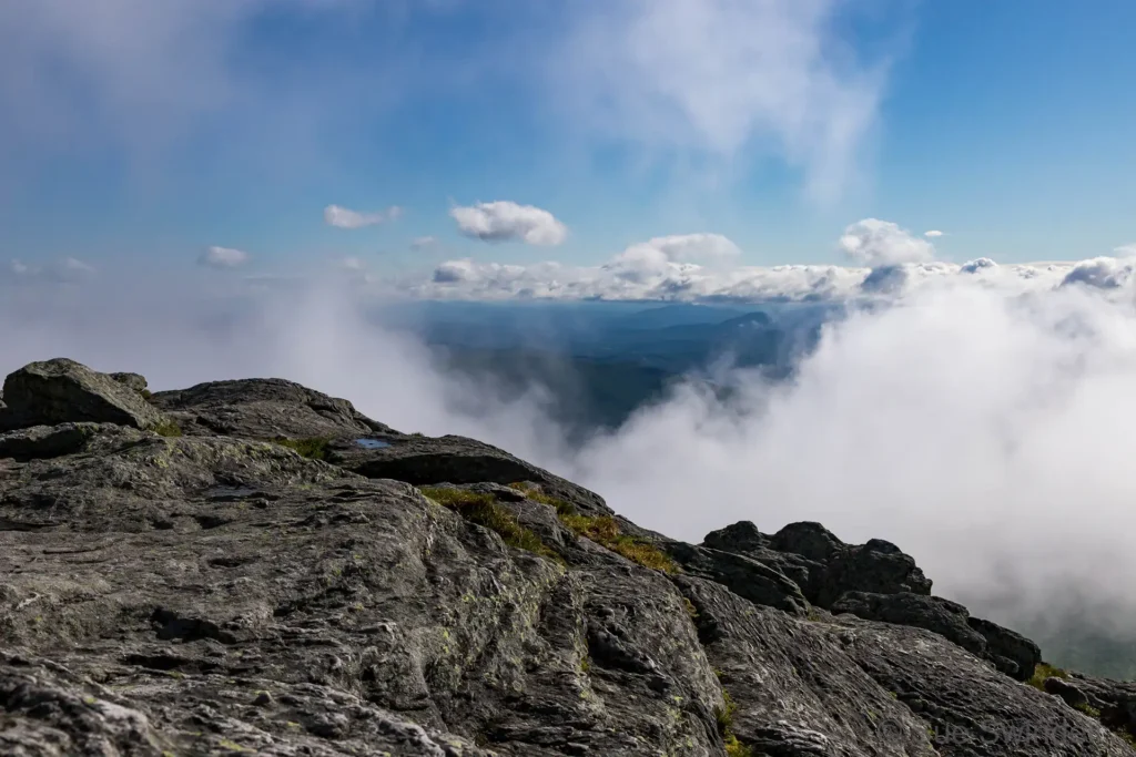
Many of these hikes are strenuous and mountain weather can change quickly. Always check the near-term mountain weather forecast for your hike before you begin, and pack or alter plans accordingly. We recommend the National Weather Service’s Summit Forecasts and mountain-weather.com.