This article was written by Neil van Dyke and previously appeared in the Winter 2020 Long Trail News under the headline “Winter Hiking Safety.”There are few times more beautiful for hiking than a crisp, clear Green Mountain winter day. The deep blue of the sky is experienced at no other time of year, and when coupled with trees blanketed in fresh snow it presents a truly unique landscape. The lack of crowds adds allure and a sense of solitude.
But backcountry winter hiking also has risks and challenges for which you must prepare. You should always take the ten essentials, but below are more things to be aware of:
Clothing and Gear
The right clothing and equipment is essential. Moisture is your enemy, so dress in layers that can be adjusted as exertion and weather vary. Start with a good wool or synthetic base layer against your skin, followed by insulating layers. Finish with a waterproof, windproof and breathable outer shell layer to protect you from wind, snow or rain. Always take one more insulating layer than you think you will need, and leave cotton clothing at home!
Insulated winter boots are a must. You will likely need several kinds of traction devices for your boots. Snowshoes are best to assist with deep snow, while Microspikes or crampons are necessary to prevent falling on ice. Bare ground at the trailhead doesn’t mean you won’t find snow or ice farther on.
Most people find ski poles a big help, since trekking poles without baskets sink through the snow. Consider taking some type of lightweight emergency shelter (tarp, bivy sack, sleeping bag) for the group.
Weather
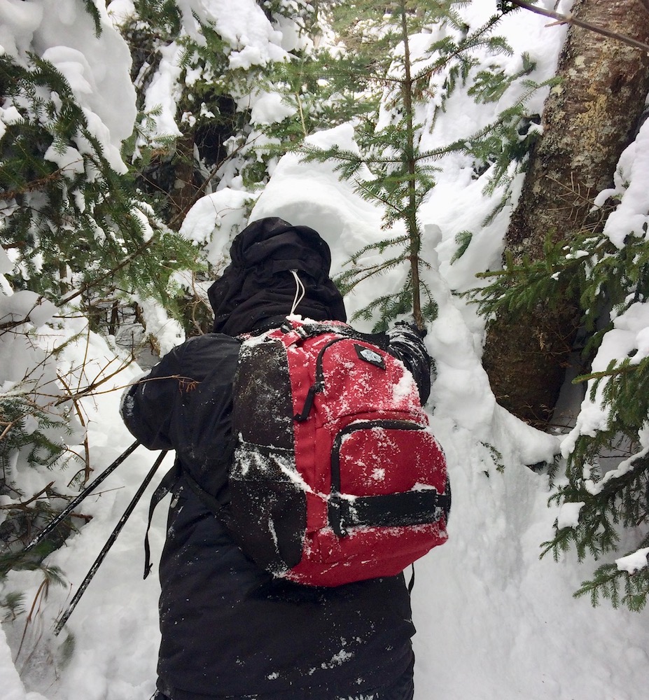
Burrows Trail. Photo by Vanessa Lake
Always check the weather forecast before you go, and be flexible. If intense cold or high winds are predicted, scale back your plans. Rain can be the most dangerous weather, because a rapid drop in temperature and a brisk wind often follow — a recipe for hypothermia. As mentioned in the clothing tips, your goal is to stay dry at all costs. If you get wet, turn around!
Remember days are much shorter than in summer, so start early, and plan to be out of the woods well before dark. Hiking in winter is slower and often much more arduous than in other seasons, so allow plenty of time. Take a flashlight or headlamp with fresh batteries. Better yet, take two.
Route finding
The Long Trail is not maintained for winter use. White blazes are hard to see on snowy tree trunks, and blazes and signs may be buried in snow. Also, the trail corridor is not cleared for walking four to five feet above the ground, so the path may be obscured or blocked by branches.
Thus, many sections of the trail are essentially impossible to follow in midwinter. Unless you are experienced at bushwhacking and backcountry navigation, stick to popular and well-used trails. Take a paper map and compass and know how to use them.
Safety and Emergency Planning
If you lose the trail or get hurt in summer it’s certainly a bummer, but typically not life threatening. But in winter even a minor mishap can become a truly life-or-death situation. The leading cause of death for hikers in Vermont is hypothermia. Hypothermia can set in as you wait for help, so you must be prepared to keep warm.
More Safety Precautions
Don’t hike alone! If something goes wrong, you may need to send for assistance. Most experts recommend a party size of four (three minimum), so one person can stay with an injured party and others can go for help.
Tell somebody where you are going and when you plan to return. Give them a worst-case estimate so they’ll know when to call the authorities (911) if they haven’t heard from you. Be sure to notify them promptly once you have finished your hike!
Do not rely on cell phones for anything other than communication. Cold weather severely reduces battery life, so if you need to call for help you’ll be glad you conserved your phone’s battery instead of using it as a flashlight or map. Make sure to fully charge your phone in advance. While you hike, leave it on airplane mode, and carry it in a pocket next to your body to keep it warm. Remember though, much of the backcountry in Vermont has little to no cell coverage, so a charged cell phone is no substitute for good equipment!
Have enough extra supplies to survive until help can arrive – which may be many hours. Even if you can call 911 immediately, rescue groups will take time to assemble, hike in, and help you.
If you’re new to winter hiking, it’s a good idea to attend a workshop or go with more experienced folks so you can gradually learn skills and build confidence for more challenging hikes. Check out GMC’s recent Intro to Winter Hiking webinar and check here for upcoming outings and workshops.
By taking the above precautions you will be well on your way to enjoying hiking in Vermont in all four seasons!
Neil Van Dyke is the Search and Rescue Coordinator for the Vermont Department of Public Safety, and he has participated in and coordinated countless backcountry searches and hiker rescues. An avid hiker and long time GMC member, he provides search and rescue training each spring to the club’s field staff.
Read more on winter hiking from GMC:
Are you a Vermont hiker that has never hiked one of the state’s beautiful 4,000’ mountains? Or, are you not a hiker yet because the mountains seem intimidating and you don’t know where to start? Whether you want to hike in northern or southern Vermont, we have the hiking plan for you – try our Couch to Camel’s Hump or Couch to Killington Challenge! (Inspired by the Couch to 5k Running Program.)
Join the adventure with this 6-week challenge that will help get you off the couch and guide you from easy hikes through increasing mileage, elevation gain, and terrain difficulty until you are ready to hike one of Vermont’s historic mountains, either the iconic Camel’s Hump or Killington Peak, aka the “beast of the east.” You can use our suggested hikes (below), or choose similar ones that may be closer to home.
The Challenge
Week 1: Start easy! Choose a trail that has low mileage (think 1-3 miles); little to no elevation gain; smooth, easy terrain; and easy to follow signage. Most Vermont towns have great local trail systems that come in the form of town forests, multi-use recreation paths, rail trails, or parks.
Weeks 2+3: For the next couple of weeks, try some trails that are around 3-5 miles in length with a little bit more elevation gain. We want those legs to start getting used to going uphill! Once trails start to gain more elevation, they usually start to get more technical with more rocks and roots to navigate as well.
Weeks 4+5: It is time to ramp up the difficulty. Aim for smaller peaks over 2500’ in elevation and trails over 5 miles. These trails will generally have steeper terrain, bigger rocks, and some may even require hand over hand scrambles.
Week 6: If you made it through the first five weeks with ease, you are ready for your final challenge: a Vermont 4,000 footer!
Suggested Hikes for Couch to Camel’s Hump
Week 1: Camel’s Hump View Trail, Duxbury; Green Mountain Audubon Nature Center, Huntington; Missisquoi Valley Rail Trail, St. Albans; Burlington Greenway, Burlington; Preston Pond Trails, Richmond; The Short Trail at GMC Headquarters, Waterbury Center; Hubbard Park, Montpelier
5.8 miles round trip via Burrows Trail to Long Trail South to Forest City Trail, Huntington
7.4 miles round trip via Monroe Trail to Long Trail South to Dean Trail to Monroe Trail, Duxbury
Suggested Hikes for Couch to Killington
Week 1: Long Trail to Little Rock Pond, Mt Tabor; Delaware and Hudson Rail Trail, Castleton; Cross Vermont Trail, Groton; Mount Peg, Woodstock; Marsh-Billings-Rockefeller National Historic Park, Woodstock
Weeks 2+3: Deer Leap-Appalachian Trail Loop, Killington; Black Mountain, Dummerston; Harmon Hill, Bennington; Long Trail to White Rocks, Wallingford
Week 4+5: Stratton Mountain, Stratton; Bromley Mountain, Manchester; Mount Ascutney, Windsor; Ludlow Mountain, Healdville; Mount Equinox, Manchester; Pico Peak, Killington
Week 6: Suggested routes up Killington:
7.4 miles round trip via Bucklin Trail to Long Trail South to Summit Spur, Mendon
11.6 miles round trip via Sherburne Pass Trail to Long Trail South to Summit Spur, Killington
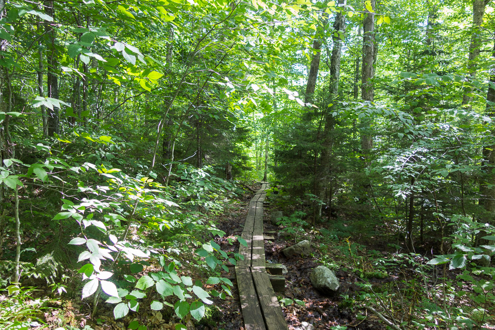
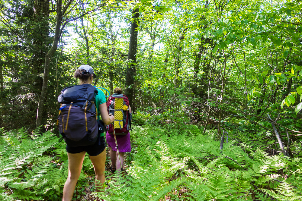
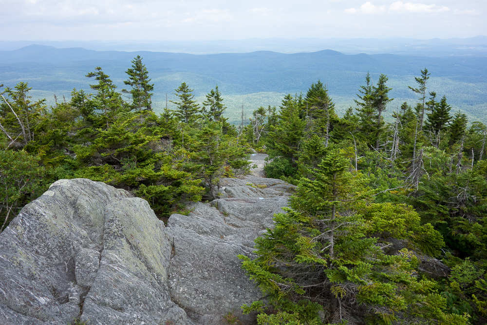
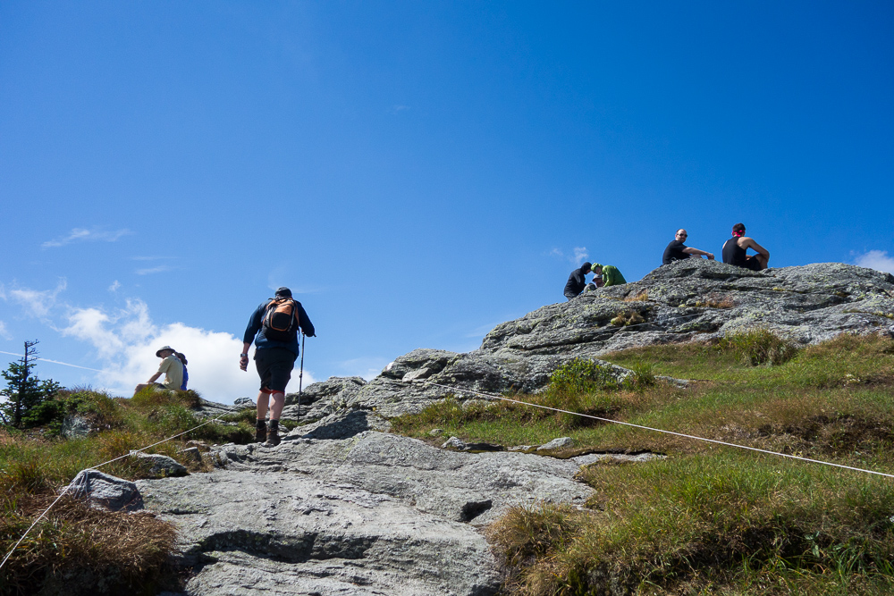
Week 1 Option – Long Trail to Little Rock PondWeeks 2+3 Option – Deer Leap-Appalachian Trail LoopWeeks 4+5 Option – Worcester MountainWeek 6 Option – Long Trail South on Camel’s Hump
Logistics:
All suggested hikes in Week 1 of the challenges below can be found in The Walker’s Guide to Vermont. All other suggested hikes can be found in the Day Hiker’s Guide to Vermont. Some trails may also be found on GMC’s maps. Make sure you are comfortable with the hikes you are doing before taking the next step up in difficulty.
Aside from maps and guidebooks, you can always get hiking advice and recommendations by calling GMC’s Visitor Center at 802-244-7037 or emailing . And don’t forget to join our Facebook Group to learn from other hikers!
Start this program now and you will be ready to celebrate the trails with us on Long Trail Day – Saturday, August 3rd, 2019. Register today to start fundraising and keep motivated!

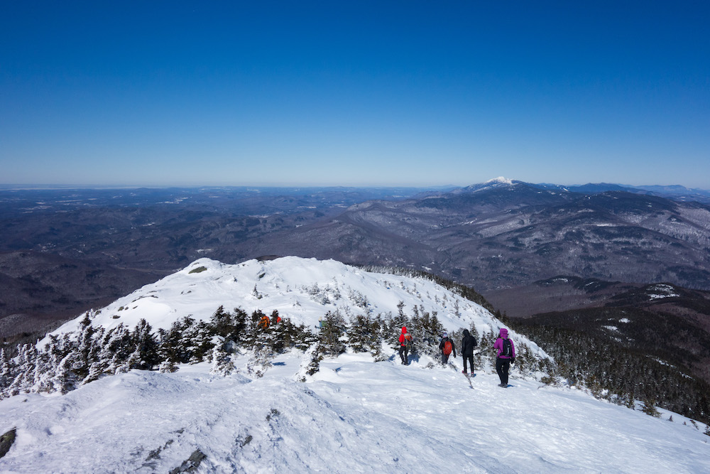 There are few times more beautiful for hiking than a crisp, clear Green Mountain winter day. The deep blue of the sky is experienced at no other time of year, and when coupled with trees blanketed in fresh snow it presents a truly unique landscape. The lack of crowds adds allure and a sense of solitude.
But backcountry winter hiking also has risks and challenges for which you must prepare. You should always take the ten essentials, but below are more things to be aware of:
There are few times more beautiful for hiking than a crisp, clear Green Mountain winter day. The deep blue of the sky is experienced at no other time of year, and when coupled with trees blanketed in fresh snow it presents a truly unique landscape. The lack of crowds adds allure and a sense of solitude.
But backcountry winter hiking also has risks and challenges for which you must prepare. You should always take the ten essentials, but below are more things to be aware of:

 If you’re new to winter hiking, it’s a good idea to attend a workshop or go with more experienced folks so you can gradually learn skills and build confidence for more challenging hikes. Check out GMC’s recent Intro to Winter Hiking webinar and check here for upcoming outings and workshops.
By taking the above precautions you will be well on your way to enjoying hiking in Vermont in all four seasons!
Neil Van Dyke is the Search and Rescue Coordinator for the Vermont Department of Public Safety, and he has participated in and coordinated countless backcountry searches and hiker rescues. An avid hiker and long time GMC member, he provides search and rescue training each spring to the club’s field staff.
Read more on winter hiking from GMC:
If you’re new to winter hiking, it’s a good idea to attend a workshop or go with more experienced folks so you can gradually learn skills and build confidence for more challenging hikes. Check out GMC’s recent Intro to Winter Hiking webinar and check here for upcoming outings and workshops.
By taking the above precautions you will be well on your way to enjoying hiking in Vermont in all four seasons!
Neil Van Dyke is the Search and Rescue Coordinator for the Vermont Department of Public Safety, and he has participated in and coordinated countless backcountry searches and hiker rescues. An avid hiker and long time GMC member, he provides search and rescue training each spring to the club’s field staff.
Read more on winter hiking from GMC: