
Hike Feature: Accessibility
-
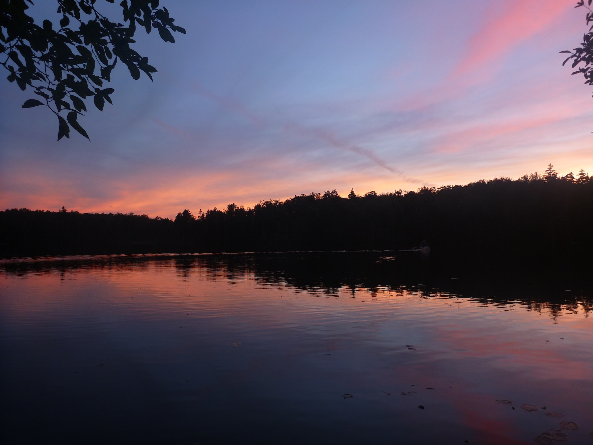
Branch Pond
From the west side of the Branch Pond parking lot, follow the boat launch trail 0.25 mi downhill to Branch Pond. The boat launch is small but offers a lovely view of the pond, as well as the chance to take a dip. A fun option with kids, kayaks, or both! Fishing is allowed with…
-
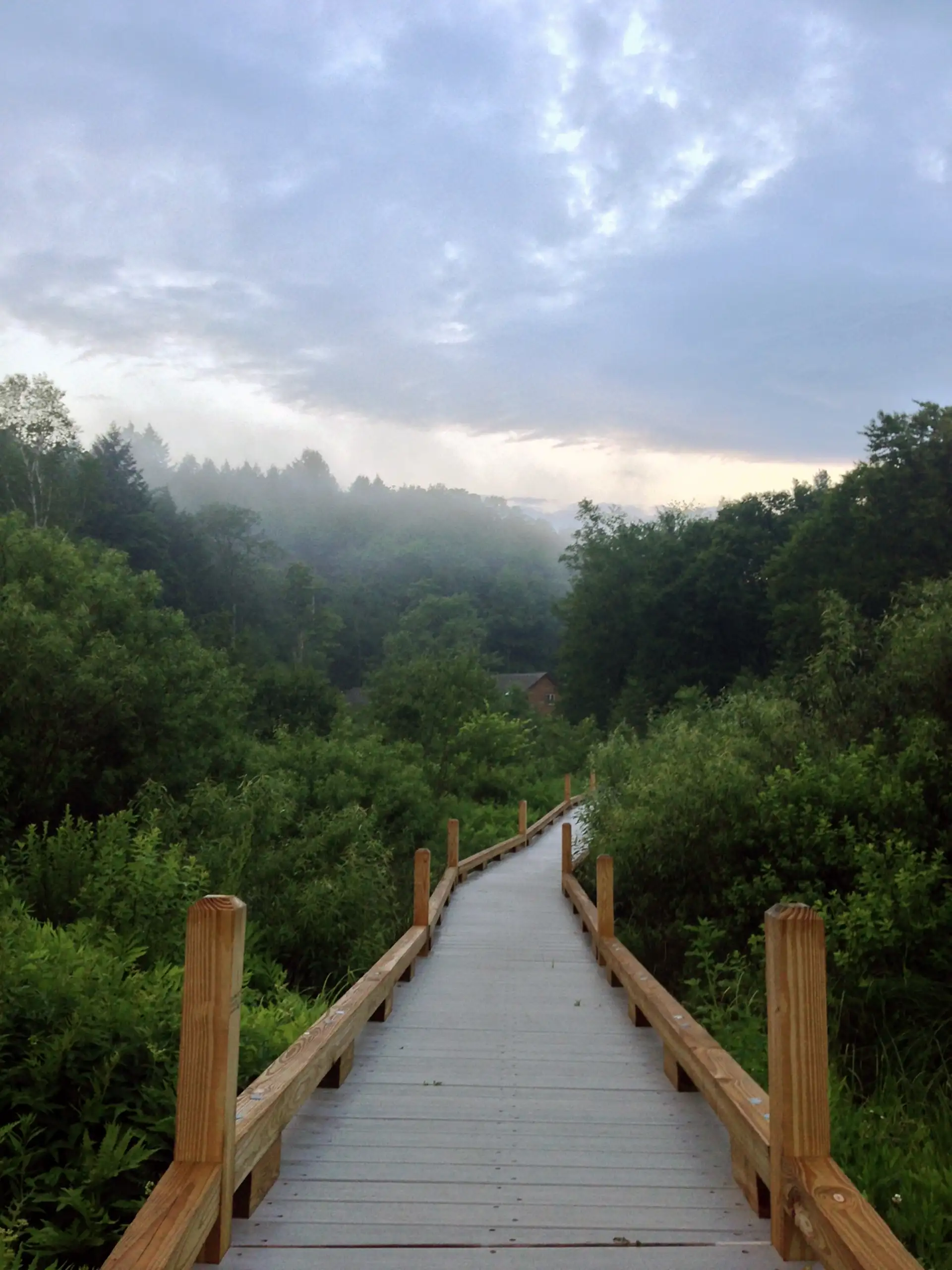
Thundering Falls Boardwalk
From the River Road parking area follow a 900 foot long, 3-5 foot-wide, boardwalk, and stone dust path. This trail goes along a portion of the Appalachian Trail (AT) to Thundering Falls. The boardwalk crosses over the Ottauquechee River and through the open Ottauquechee River floodplain. The trail then ascends to a viewing platform overlooking…
-
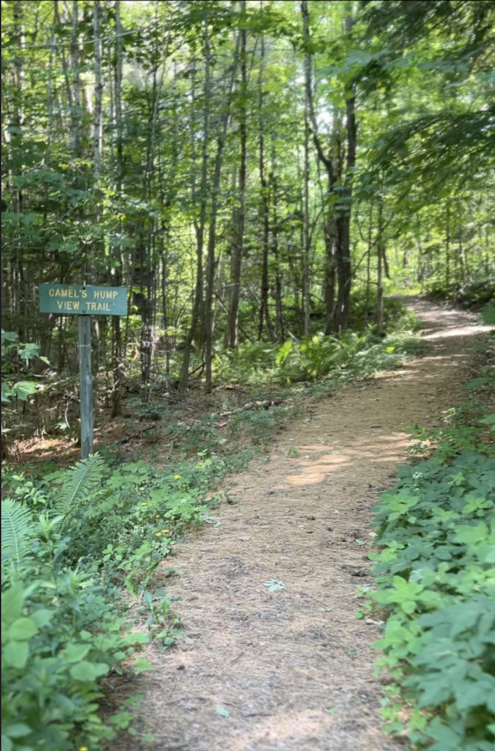
Camel’s Hump View Trail
This lollipop-style loop trail features multiple gorgeous views of Camel’s Hump, which are especially good as the leaves begin to fall in autumn. The trail also features several benches, which offer nice rest spots. From the sign at the parking lot, head out on the main path. Soon you will come to a split where…
-
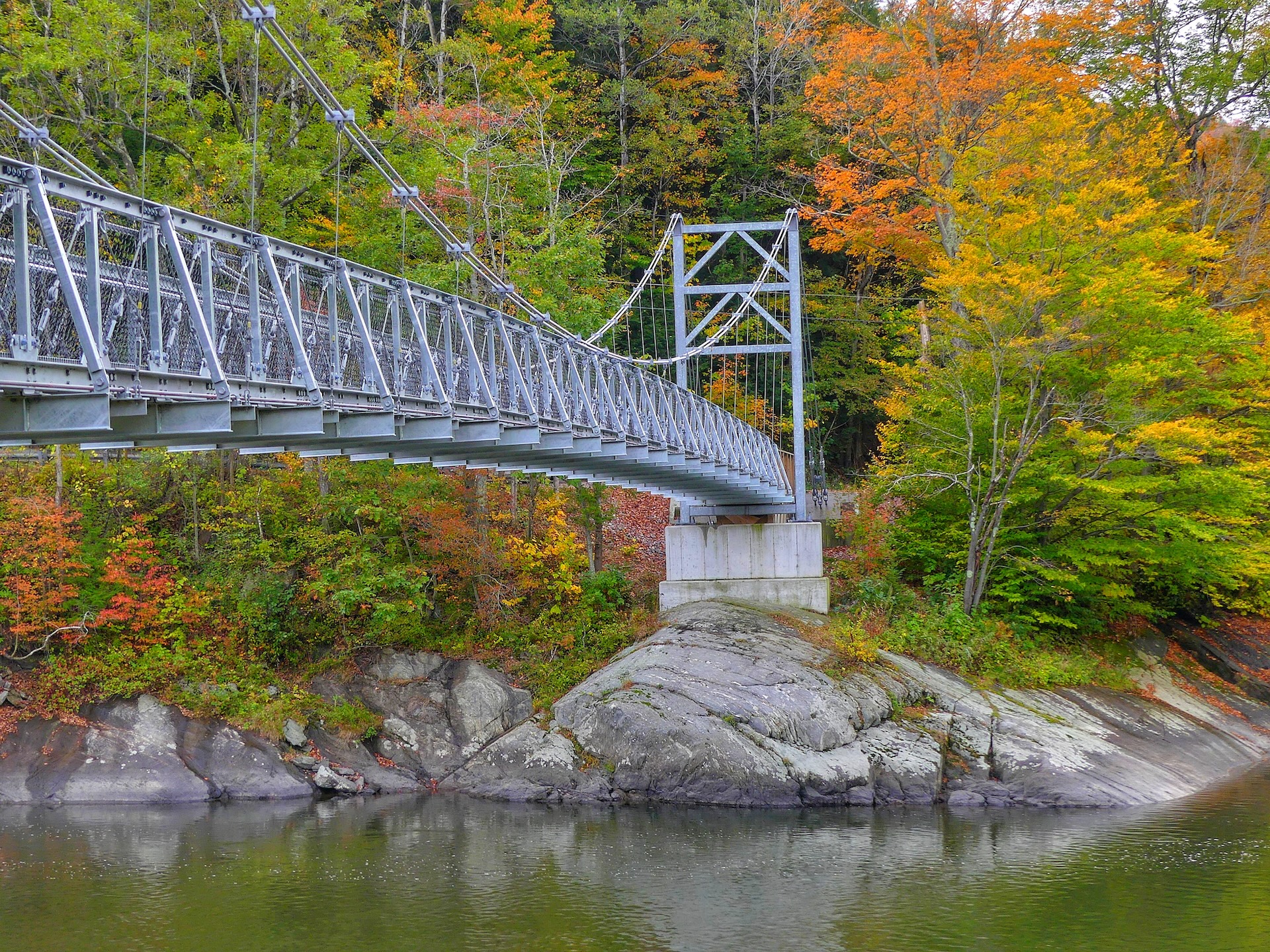
Winooski Footbridge
This 224-foot Long Trail suspension bridge, built and maintained by the Green Mountain Club, is accessible from Duxbury Road on the south side of the Winooski River. The bridge is wheelchair accessible from the south side, on Duxbury Road, but there is no parking permitted here. Park about 1.0 mi east on Honey Hollow Road and carefully…
-
Smugglers’ Notch Boardwalk
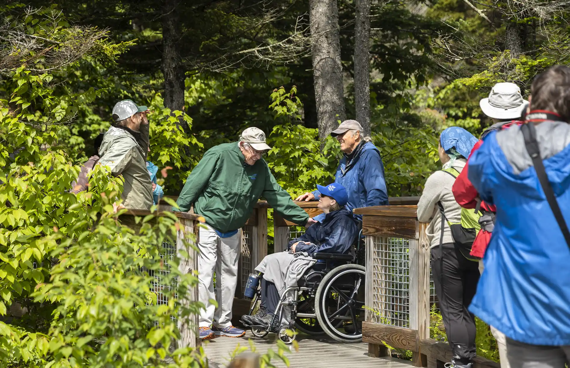
The Smugglers’ Notch Boardwalk, part of the Long Trail, built by GMC crews in 2010, is an accessible trail through wetlands, by a beaver dam, and with beautiful views of Smugglers’ Notch. Park in the Barnes Camp parking lot or the Stowe Resort parking lot across the street. The boardwalk starts at the western end…
-
Toll Road
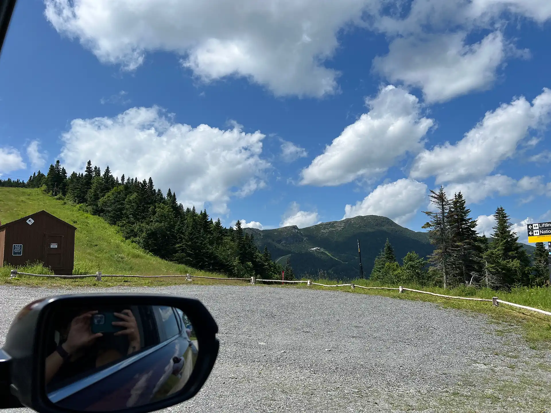
The Stowe Auto Toll Road ascends from the Toll House on Route 108. The 150-year-old Toll Road zigs and zags 4.5 miles on an unpaved road up to the Mount Mansfield Summit Station Visitor Center at 3,850’. A drive up the toll road is paid, and all proceeds go to Stowe Mountain Resort. For prices…
-
Beaver Meadow Lodge Loop
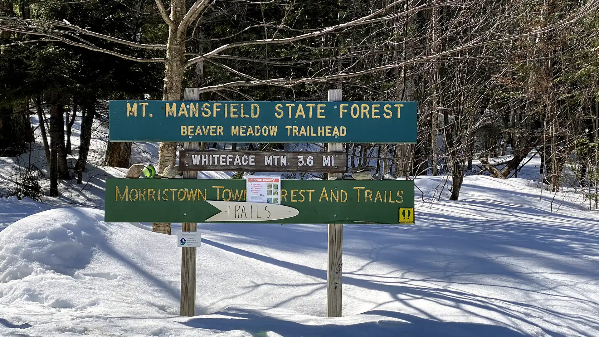
The trail to Beaver Meadow Lodge follows an old road to a high basin surrounded by mountains on three sides and makes an excellent family hike. On a clear day, it is possible to see Whiteface Mountain to the north. Beaver Meadow Lodge is one of two shelters within the Long Trail System with a…