
Hike Feature: Foliage
-
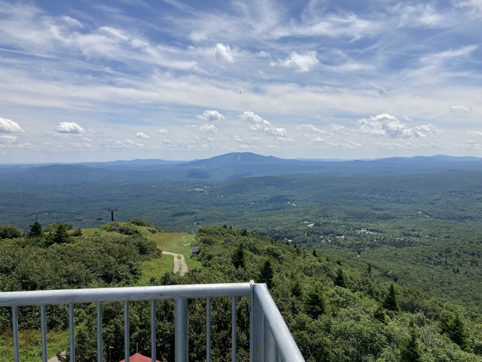
Bromley Mountain
From the Long Trail/Appalachian trail parking lot, follow white-blazed LT/AT north for 2.0 mi., crossing Bromley Brook and passing Bromley Shelter. Continue for another 1.0 mi until making it to Bromley Mountain summit at 3,260’ (3.0 mi). An observation tower sits on the summit and offers sweeping views of Killington, Okemo, Stratton, and Glastenbury mountains,…
-
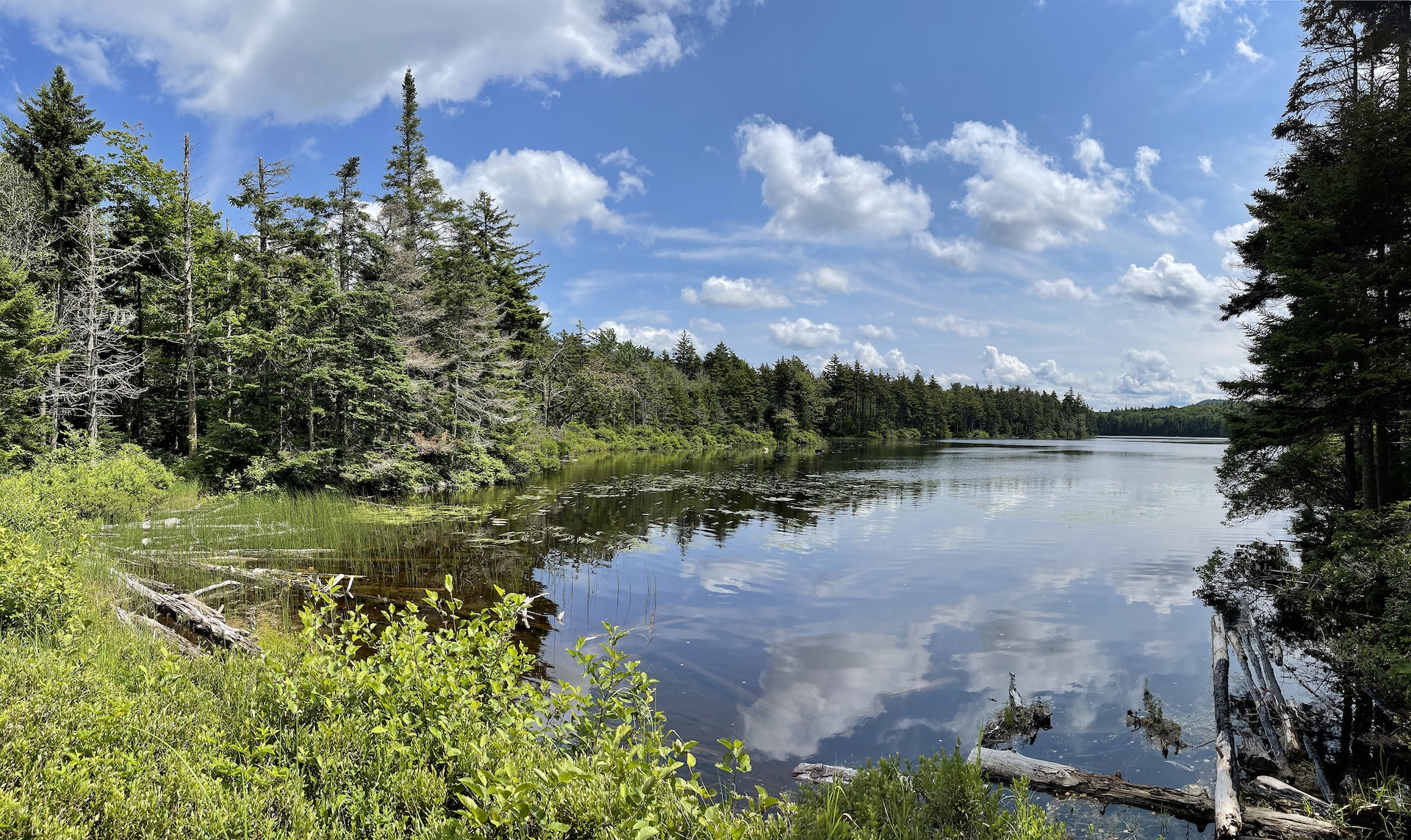
Baker Peak > Griffith Lake Loop
Starting at USFS-58 follow Griffith Lake Trail, an old carriage road, for 2.2 mi. Follow the blue blazes as the trail gradually descends to the spring-fed Griffith Lake. Take a left onto Long Trail/Appalachian Trail north, passing intersections with the Old Job Trail and the Lake Trail (2.3 mi.) and continue following white blazes to…
-
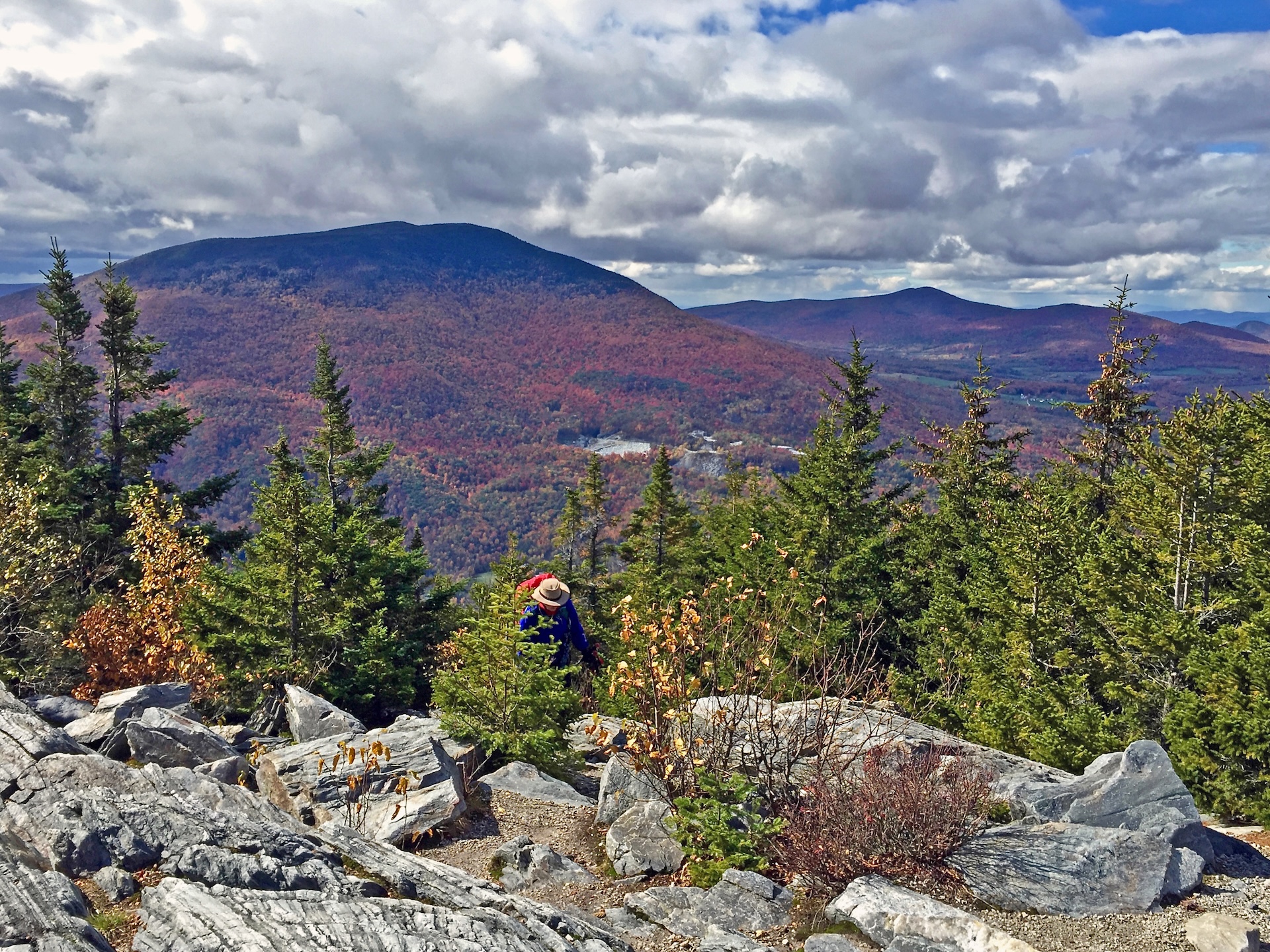
Baker Peak via Griffith Lake Trail and Long Trail
Starting at USFS-58 follow Griffith Lake Trail, an old carriage road, for 2.2 mi. Follow the blue blazes as the trail gradually descends to the spring-fed Griffith Lake. Take a left onto Long Trail/Appalachian Trail north, passing intersections with the Old Job Trail and the Lake Trail (2.3 mi.) and continue following white blazes to…
-
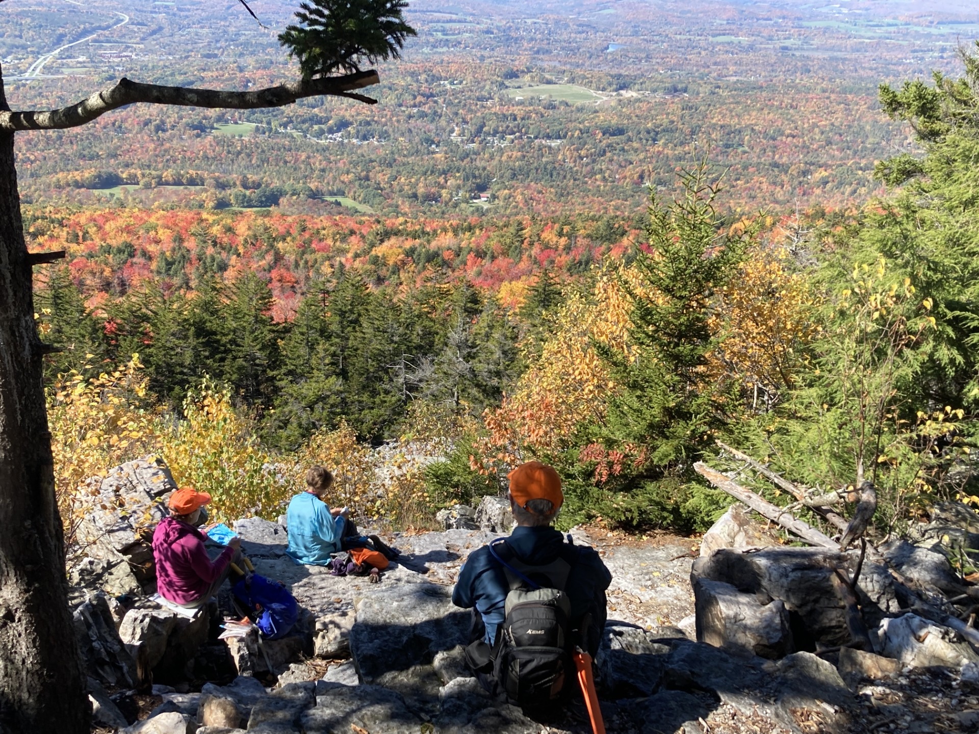
Bald Mountain Trail (Bennington)
The west trailhead of the Bald Mountain Trail starts in Bennington. There is a good overlook at White Rocks (2.6 mi.) then an intersection with the West Ridge Trail at 4.0 mi., just south of the Bald Mountain Summit (this is the version shown on the map below). Return the way you came (8.0 mi.).…
-
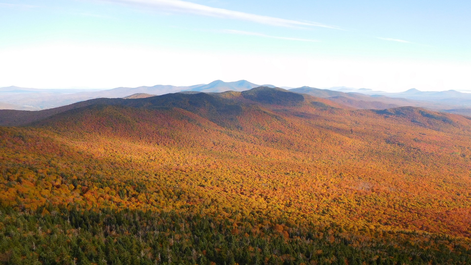
Belvidere Mountain via Long Trail
From the parking lot on Route 118, hike north on the LT. After about 0.2 mi, the trail bears west as you begin hiking over new tread (GMC crews relocated nearly one mile of Long Trail to follow a more sustainable grade on public land in 2025 and 2026). The new trail, built with a combination of a mini-excavator…
-
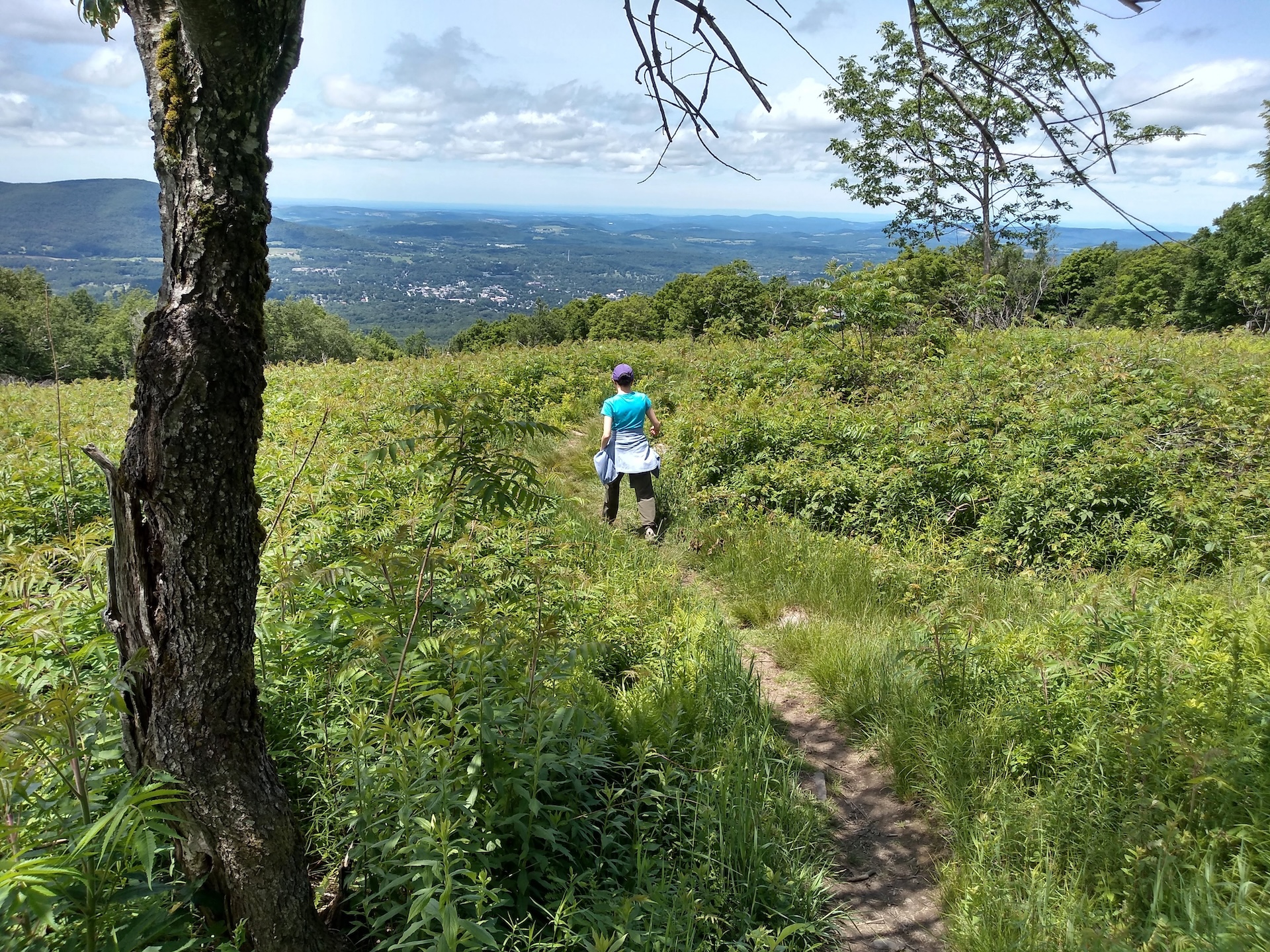
Harmon Hill via Long Trail South
From the large parking lot on Route 9, carefully cross the road to continue on the Long Trail/Appalachian Trail South. Climb steeply up a stone staircase, which has been restored by the Long Trail Patrol crew in recent years. After 0.6 mi., the ascent becomes more gradual before cresting Harmon Hill (1.8 mi.). This hill is maintained as early successional…
-

Thundering Falls to Kent Pond
This hike follows the Appalachian Trail over the Thundering Falls Boardwalk, past the impressive Thundering Falls. Continue past the waterfall over moderate terrain to the edge of Kent Pond. Follow the trail as along the edge of the pond, ending at Rt. 100 (2.4 mi). Return on the Appalachian Trail to River Rd. Thundering Falls…
-
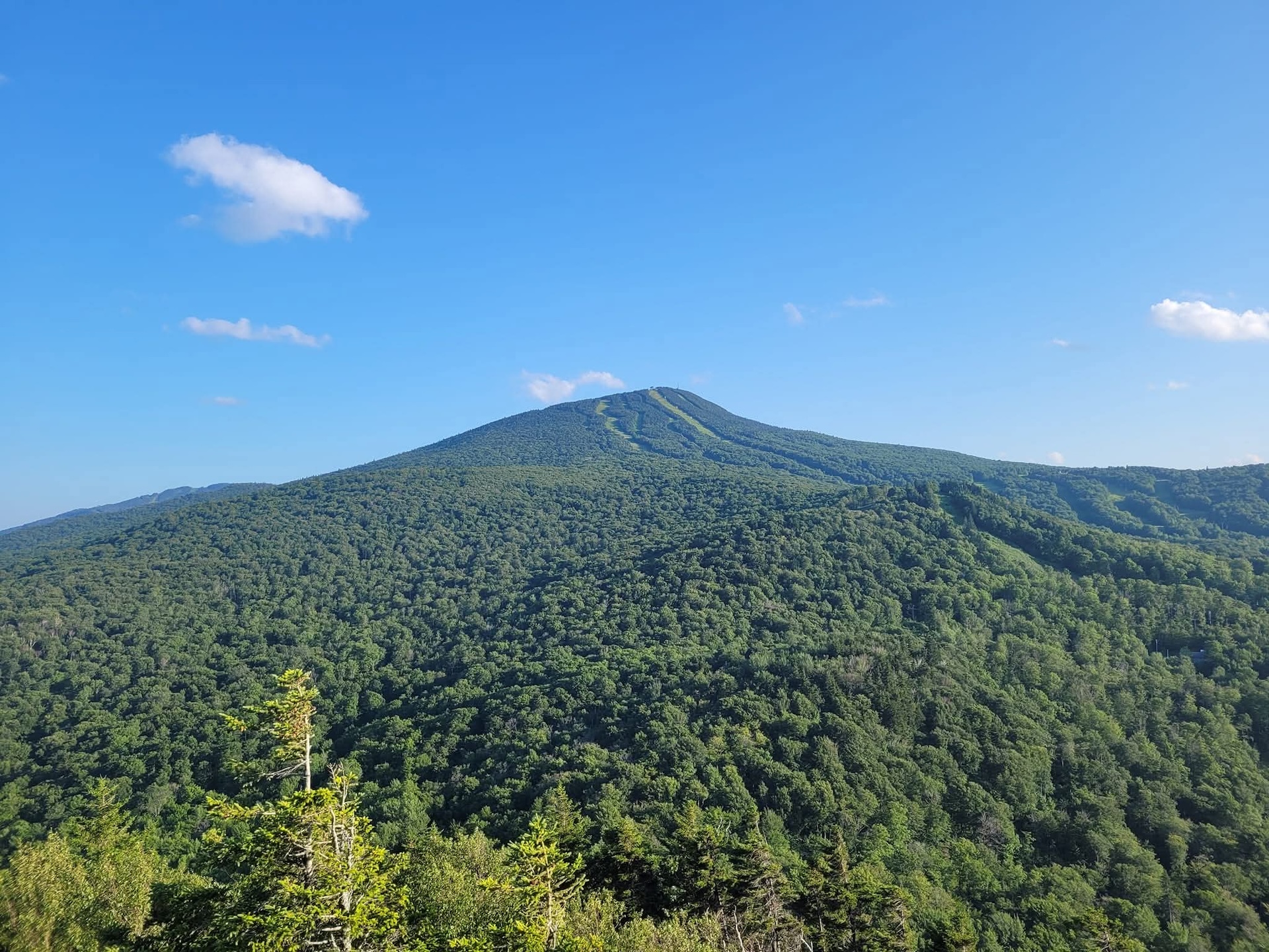
Deer Leap Trail
The Deer Leap Trail is a relatively short but rugged hike to the top of a rock outcrop with impressive views of the Coolidge Range and Sherburne Pass. The trail starts on the north side of Rt. 4, at the east end of the Inn at Long Trail parking lot. Note that it is suggested to park across Rt. 4 as there is more space available. Be very cautious crossing the road…