This challenging loop to the Camel’s Hump summit is a fun alternative to the popular out-and-back Burrows route.
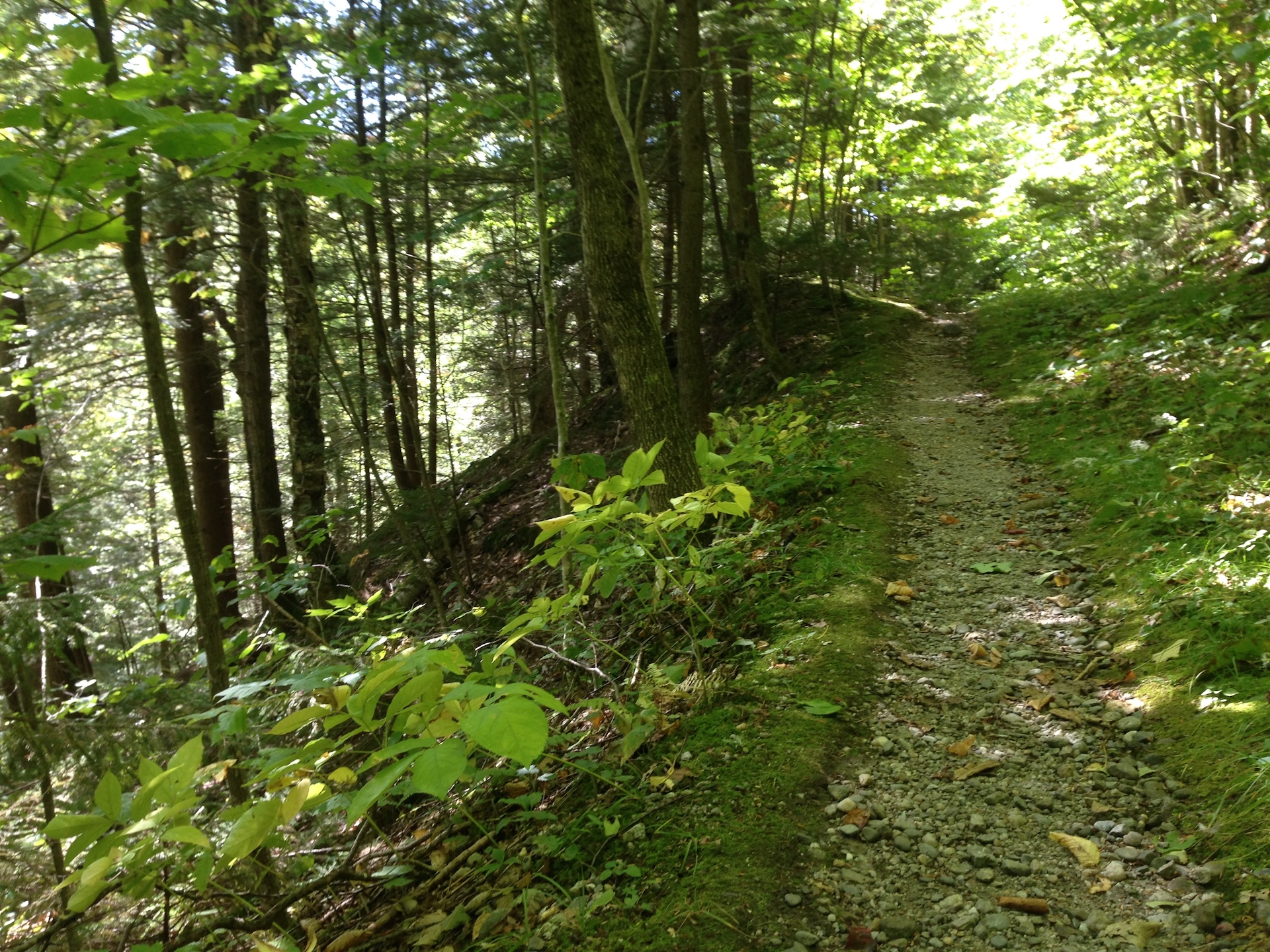
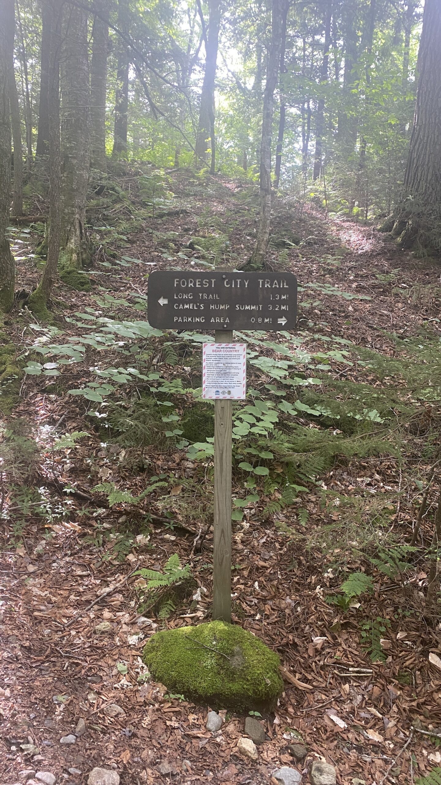
Starting at the Lower/Forest City lot, take Forest City Trail follow an old logging road and cross over Brush Brook, passing an intersection with the Forest City Connector (0.8 mi). Continue on Forest City Trail, climbing gradually for 1.4 mi. to the intersection with Montclair Glen Lodge and the Long Trail (2.2 mi). Turn left/north on the white-blazed Long Trail North and continue straight for 0.2 mi. through a four-way intersection in Wind Gap (2.4 mi). From Wind Gap, Long Trail North climbs 1.5 rugged miles to an intersection with the Alpine Trail (3.9 mi). This section of trail includes rock scrambles which may be challenging for some dogs.
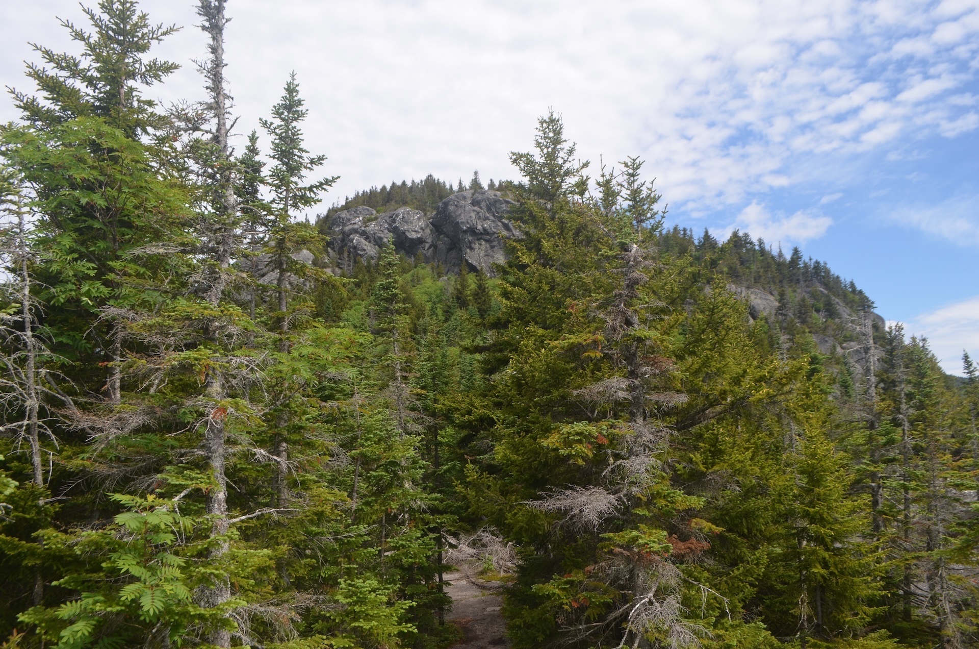
Soon after passing the Alpine Trail junction, the summit is a steep 0.2 mi on open rock (4.1 mi). Note that this side of the summit is extremely steep open rock and may not be appropriate for people with an intense fear of heights. Ascent will be significantly more difficult in the rain or fog.
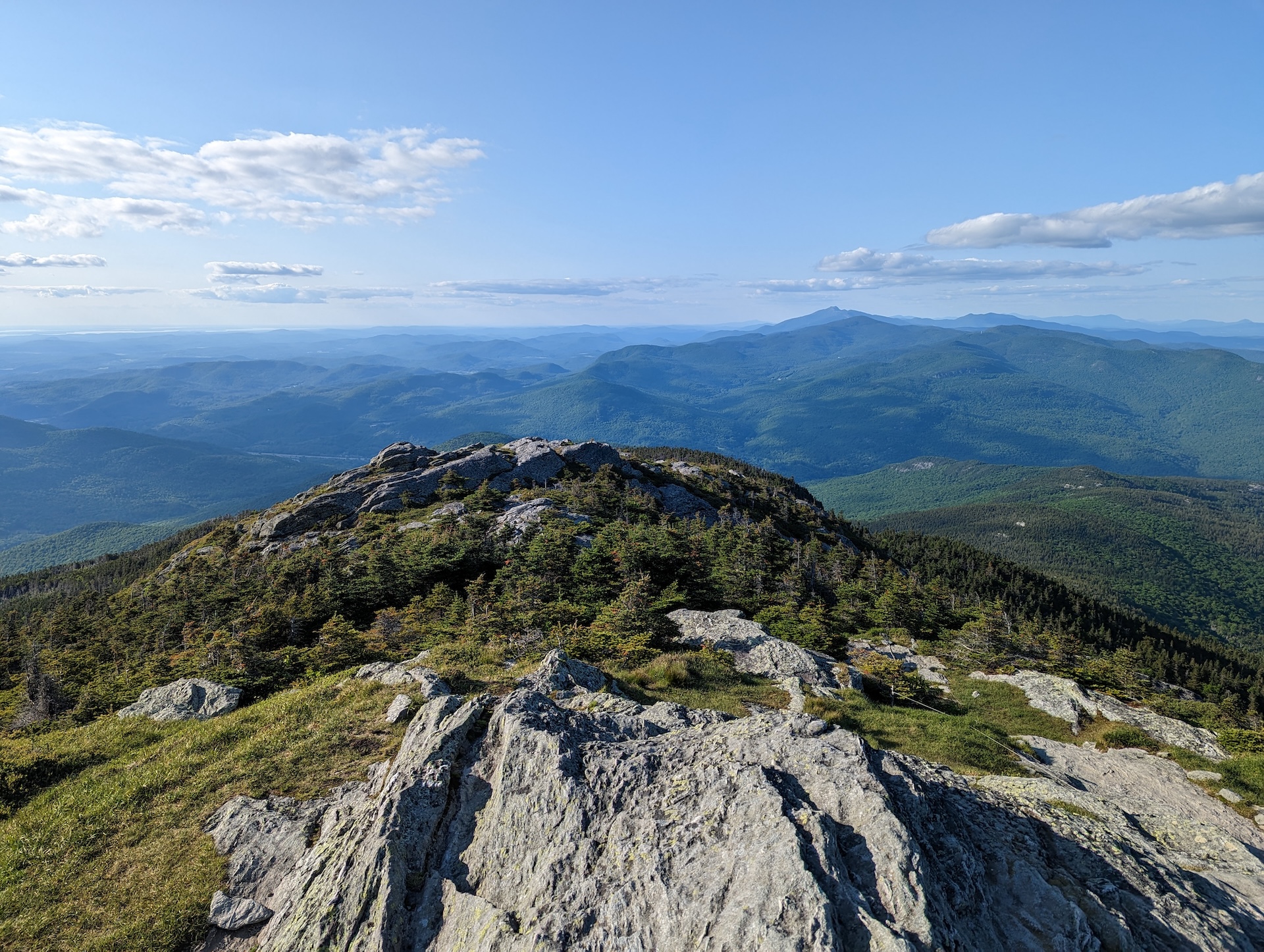
The summit of Camel’s Hump is one of the five tallest in Vermont at 4,083’ and offers 360-degree views to the Adirondacks, Whites, and Green Mountains. From the summit, continue on Long Trail North over the summit for 0.3 mi until reaching the Hut Clearing (4.4 mi). Take a left onto Burrows Trail at this intersection, and continue on Burrows Trail for 2.1 mi until reaching the Upper Forest City/Burrows lot (6.5 mi). You can either take the Forest City Connector (0.1 mi) back to the Forest City Trail (0.8 mi) or hike down the road back to your car for a total of 7.6 miles.
Note: Camel’s Hump is home to the alpine zone, one of the three peaks in Vermont that has arctic tundra. The plants are fragile and easily damaged. Help protect the alpine zone by doing the rock walk above treeline, staying on the bare rock. In the summer, a caretaker facilitates summit education, educating hikers about fragile ecosystems at high-use sites along the Long Trail.